We may earn a commission if you book tickets, tours or a stay through a link on
this page, at no extra cost to you. It never affects which places we list or how
we rank them (how we make money).
Short answer
Sedona's red rocks, the Grand Canyon's South Rim and the hillside mining town of Jerome are the day trips from Phoenix to do first, with the Apache Trail and Tucson close behind. Allow one full day for each; the Grand Canyon is the longest, at about 7½ hours of round-trip driving, so start at dawn.
Phoenix sits almost in the middle of Arizona, which makes it a brilliant base for day trips. Within two hours you can swap the Sonoran Desert for red-rock buttes, pine forest at 7,000 feet or a mining town clinging to a mountainside, and the Grand Canyon is a long but doable day away.
This guide ranks the 35 best day trips from Phoenix, from the Salt River 45 minutes east to Antelope Canyon five hours north. Each entry gives the routed drive time and miles, the road to take, what to pair it with and the best season to go.
Flagstaff was named the world's first International Dark Sky City in 2001, recognition for a city that passed its first outdoor lighting ordinance back in 1958.
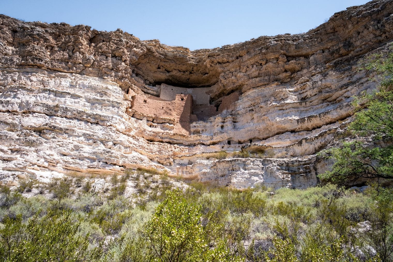
Montezuma Castle has nothing to do with Montezuma: the Sinagua cliff dwelling was abandoned almost a century before the Aztec emperor was born.
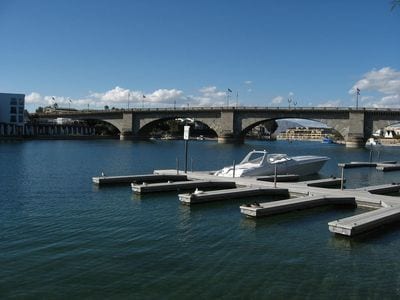
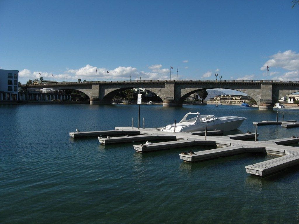
London Bridge stands in the Arizona desert: bought from the City of London in 1968, its granite facing was shipped to Lake Havasu City and the rebuilt bridge was completed in 1971.
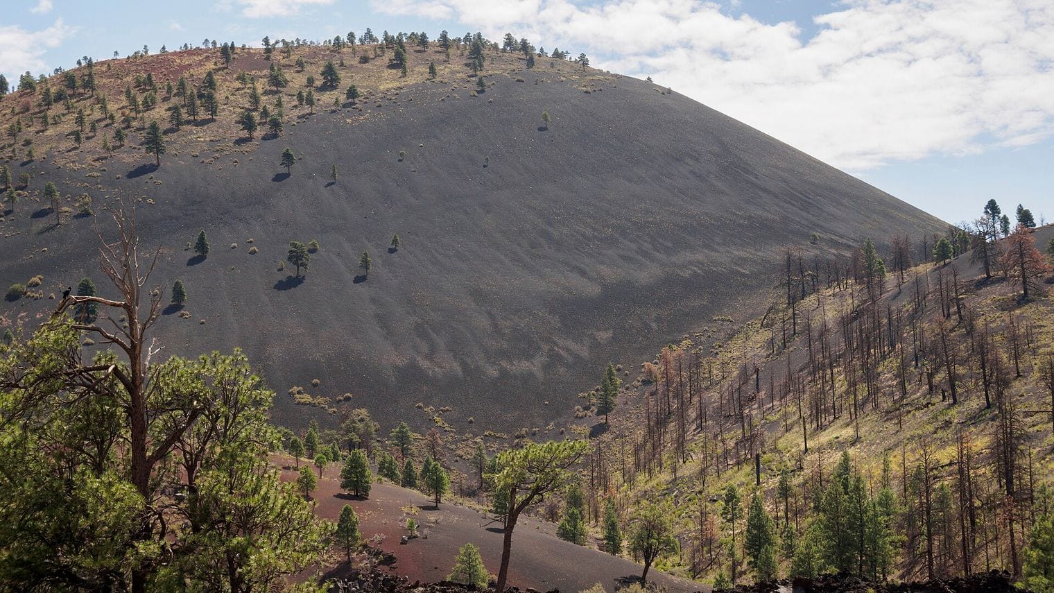
Sunset Crater erupted around 1085, a date worked out from tree rings, and the cone has been closed to hikers since 1973 to stop erosion.
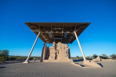
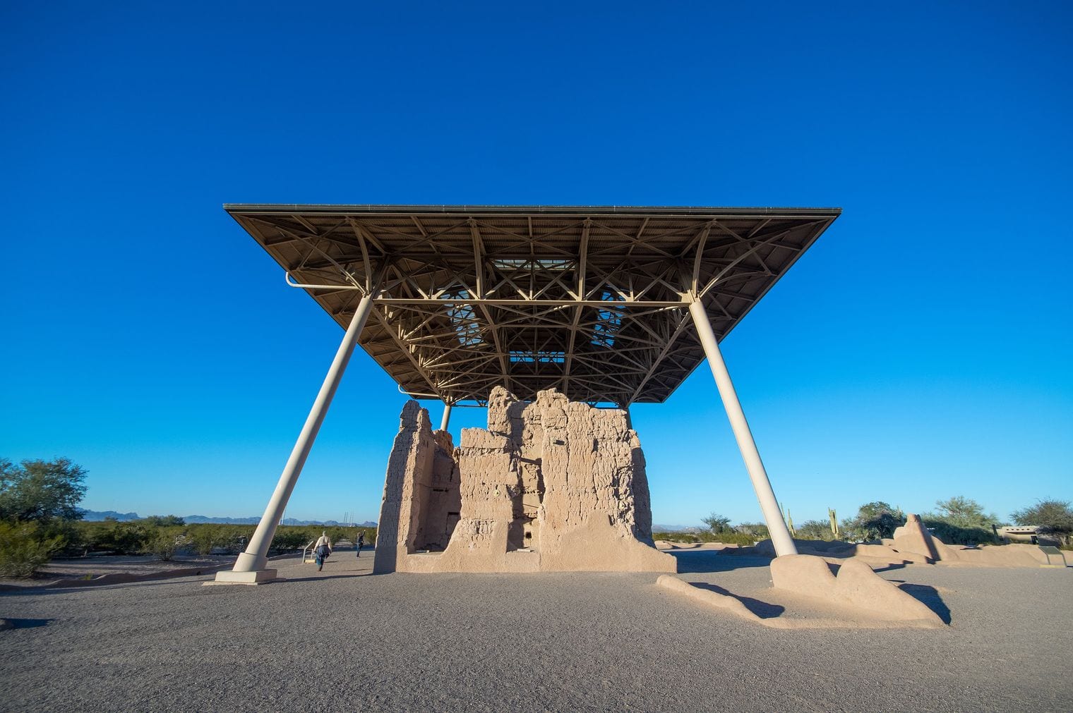
Casa Grande Ruins became the first prehistoric and cultural reserve in the United States when President Benjamin Harrison set it aside in 1892.
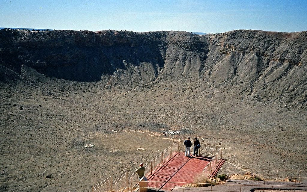
Meteor Crater is privately owned: the Barringer family still holds the site, which was designated a National Natural Landmark in 1967.
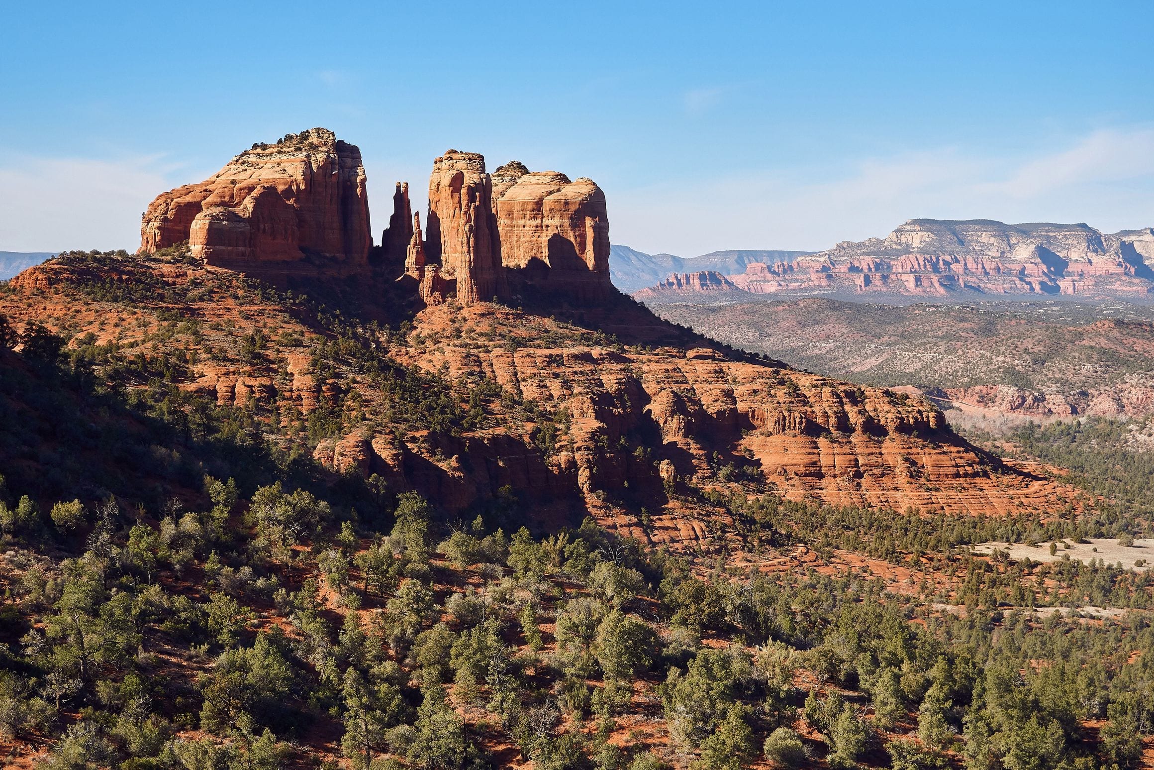
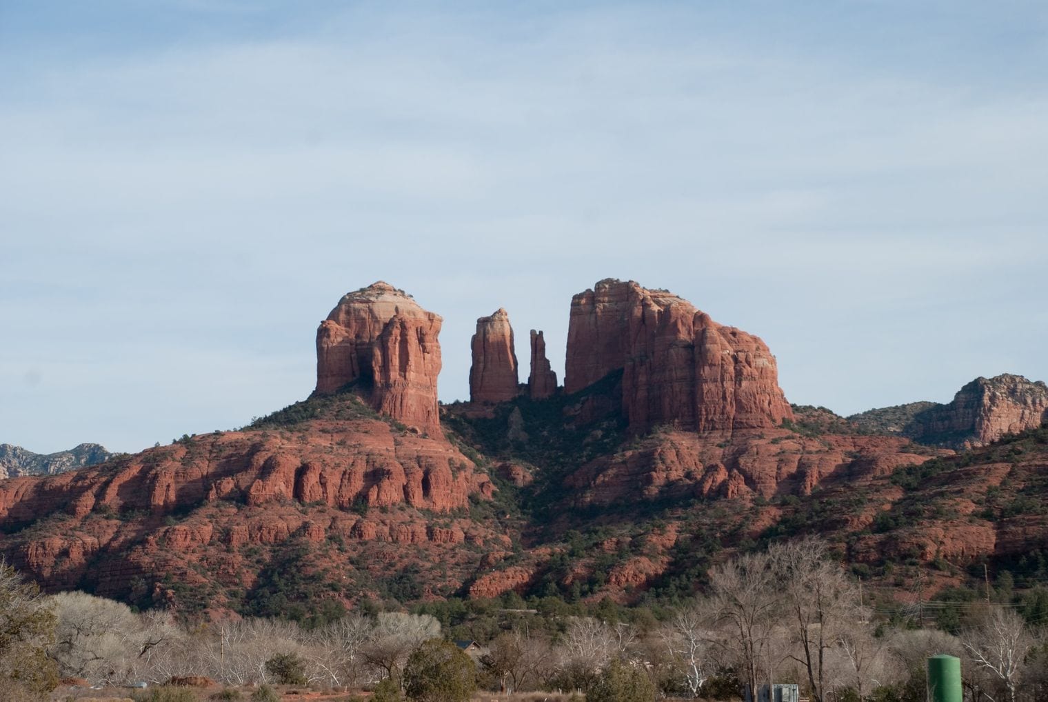
Sedona is the day trip Phoenix is famous for: a small city ringed by glowing red-rock buttes such as Cathedral Rock, Bell Rock and Courthouse Butte.
Hike the slickrock up Cathedral Rock or out to Devil's Bridge, visit the Chapel of the Holy Cross set into the rocks, browse the arts-and-crafts village of Tlaquepaque, or bounce up the back roads on a jeep tour. Many visitors come for the vortexes, spots some believe carry a special energy; the views need no belief at all.
It's about 1¾ hours (116 miles) north on I-17, then SR 179 past the Village of Oak Creek into town. Trailhead parking fills early, so arrive by mid-morning, and add Red Rock State Park on the west edge of town or the drive up Oak Creek Canyon (#8). Spring and fall are ideal, and summer is still far milder than the Valley. Guided tours from Phoenix make the run too.
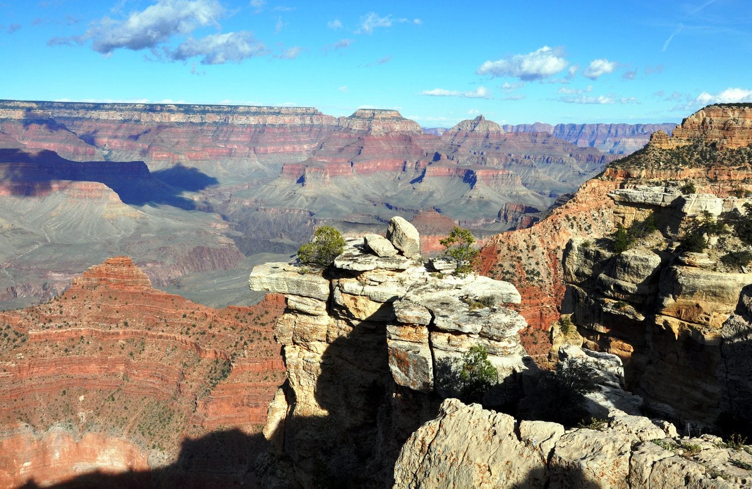
Grand Canyon National Park is the bucket-list trip from Phoenix, and the South Rim is the side to aim for. Walk out to Mather Point and Yavapai Point for the classic first look, follow the paved Rim Trail between viewpoints, then drive the Desert View road east to the stone Desert View Watchtower. The canyon has been a UNESCO World Heritage Site since 1979, and no photo prepares you for the scale of it.
Budget about 3¾ hours (229 miles) each way, north on I-17 to Flagstaff and then US-180, or via I-40 to Williams and SR 64 — around 7½ hours of driving in all, so leave at dawn. The North Rim is far too distant for a day trip, so stick to the South Rim. Guided day tours from Phoenix take the driving off your hands, and spring and fall bring the most comfortable weather on the rim.
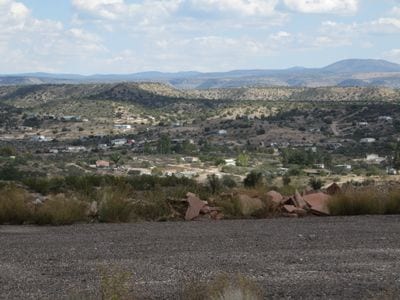
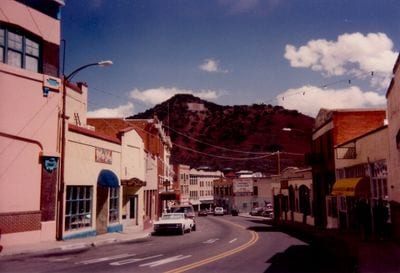
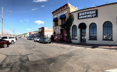
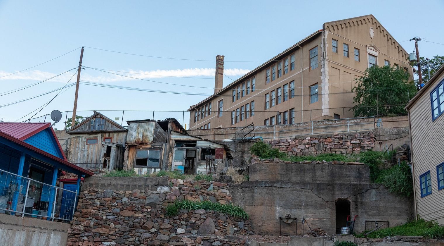
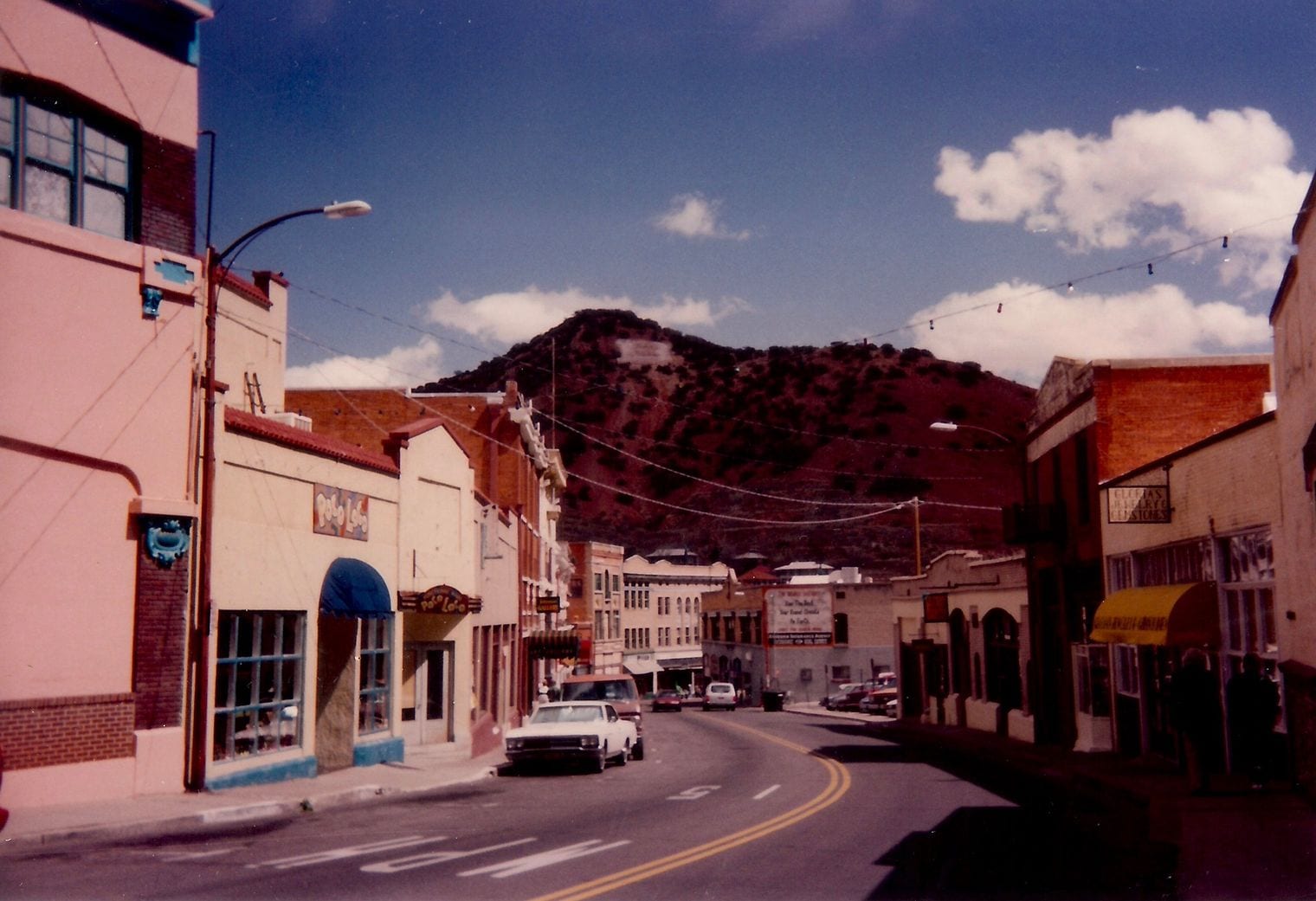
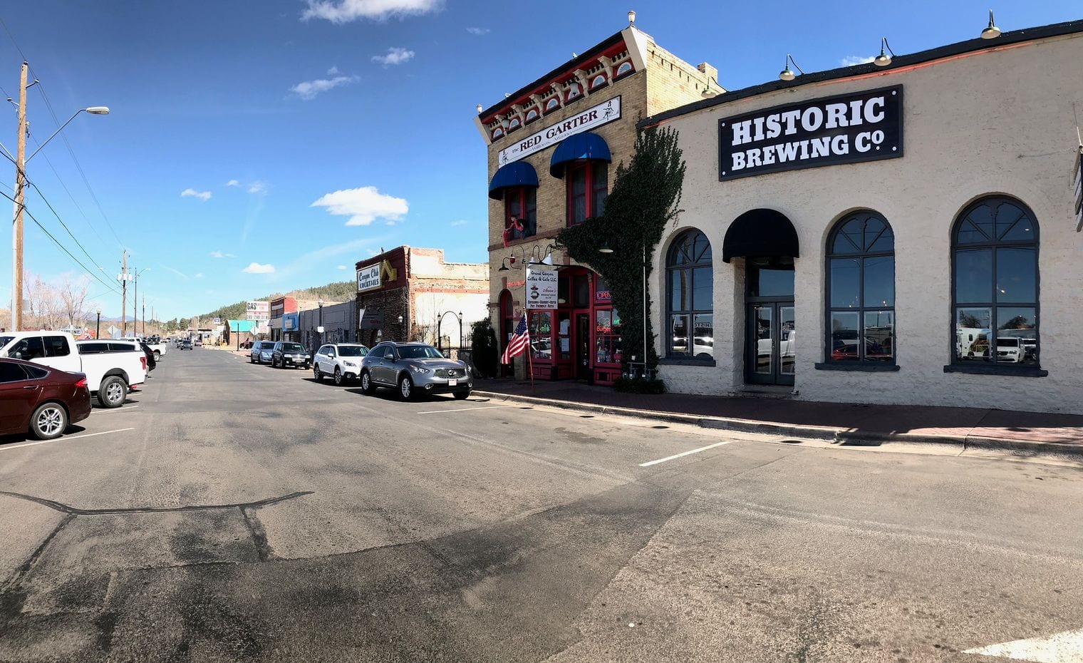
Jerome clings to Cleopatra Hill above the Verde Valley, a copper-mining boomtown that held more than 10,000 people in the 1920s and fewer than 500 today. After the mines closed it was billed as America's largest ghost town, a slogan it still wears with pride, although its steep streets are now full of galleries, tasting rooms and cafés in old brick buildings.
Jerome State Historic Park fills the 1916 Douglas Mansion with mining history, and the Gold King Mine & Ghost Town below town is a yard of rusting vintage machinery.
It's about 1¾ hours (111 miles): I-17 north, SR 260 west to Cottonwood, then the switchbacks of SR 89A up the mountain. Pair it with Cottonwood (#16) and Tuzigoot at the foot of the hill, or carry on over Mingus Mountain toward Prescott. Parking is tight on weekends, so weekdays in spring and fall are the sweet spot.
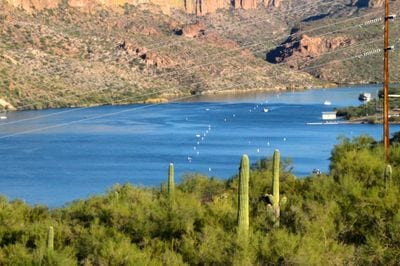
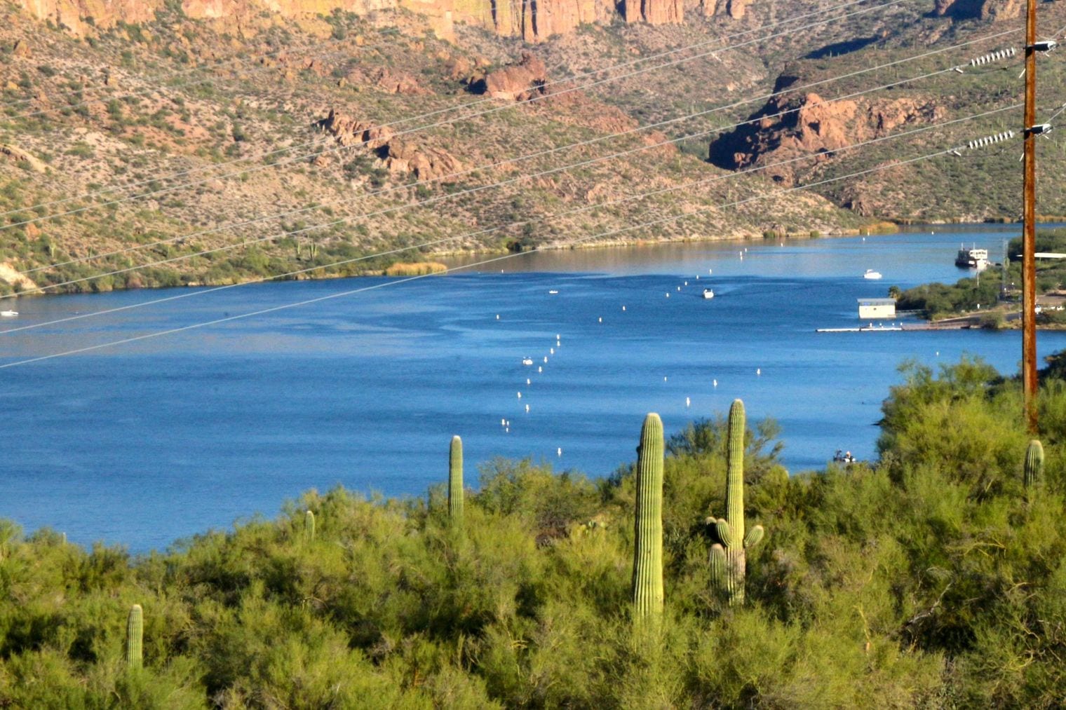
The Apache Trail (SR 88) is the closest big escape from the city, a historic stagecoach route that winds from Apache Junction into the Superstition Mountains. The first stretch passes Goldfield Ghost Town and Lost Dutchman State Park, named for the legendary lost gold mine, then twists down to the blue water of Canyon Lake, where sightseeing boats cruise beneath the canyon walls. The pavement carries on to the tiny roadside settlement of Tortilla Flat and a few miles beyond.
Tortilla Flat is about 1¼ hours (51 miles) away via US-60 east and SR 88. The unpaved road past Fish Creek Hill reopened after years of flood and rockslide damage as a primitive route for high-clearance four-wheel drives only, and monsoon storms can close it, so most drivers turn around where the asphalt ends; check ADOT or AZ511 before you set out. Fall through spring is the best time to go.
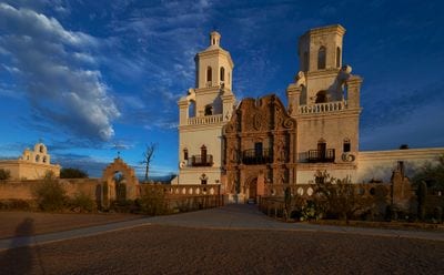
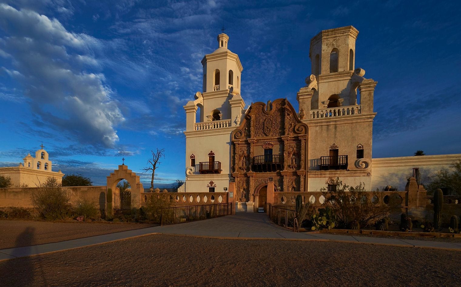
Tucson, Arizona's second-largest city, is a whole different desert day out. The Arizona-Sonora Desert Museum is part zoo, part botanical garden in the Tucson Mountains; the white Mission San Xavier del Bac rises from the desert south of town; Sabino Canyon has shady trails into the Santa Catalinas; and the Pima Air & Space Museum lines up rows of historic aircraft. Food is a draw too: in 2015 Tucson became the first US city named a UNESCO City of Gastronomy.
It's about 1¾ hours (115 miles) straight down I-10. Combine it with Saguaro National Park (#13), which flanks the city on both sides, or with the drive up Mount Lemmon (#25). Tucson summers are nearly as hot as Phoenix's, so October to April is the time to go.
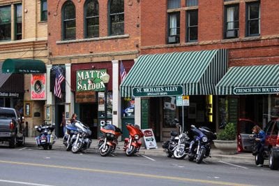
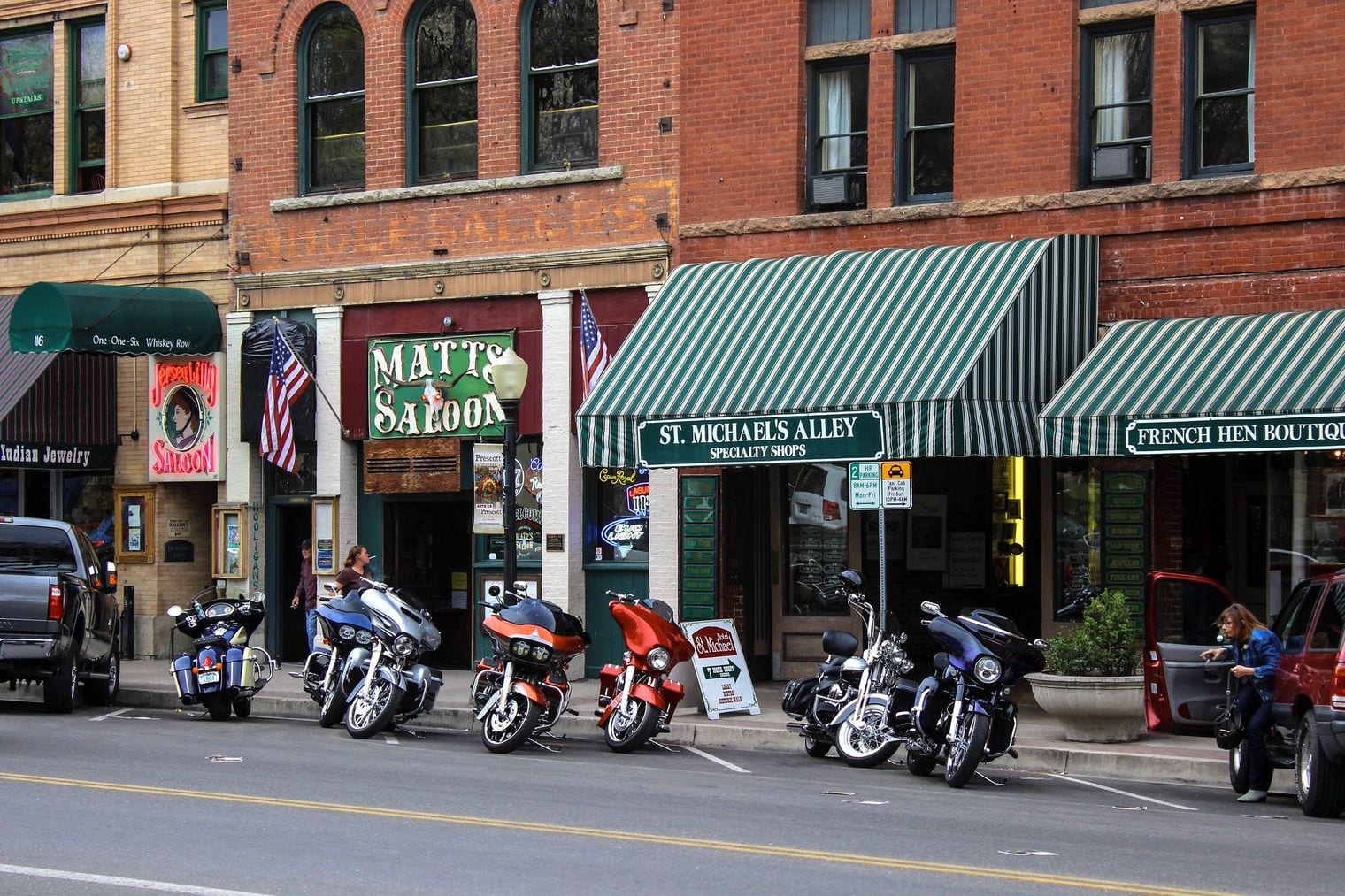
Prescott was twice the capital of the Arizona Territory, and its tree-shaded courthouse plaza still feels like a classic small-town square. Across the street, Whiskey Row lines up historic saloons rebuilt in brick after the fires of the early 1900s; the Sharlot Hall Museum tells the territorial story; and just north of town, Watson Lake sits among the rounded granite boulders of the Granite Dells, ideal for a paddle or a scramble.
It's about 1¾ hours (100 miles) north via I-17 and SR 69, and at more than 5,000 feet it runs noticeably cooler than the Valley, which makes it a favorite summer escape. For a longer stay, see our guide to things to do in Prescott; for a day, pair the plaza with a drive over Mingus Mountain to Jerome (#3).
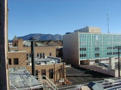
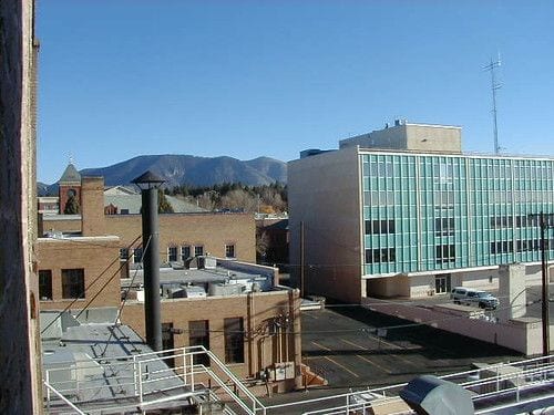
Flagstaff is a pine-forest mountain town on Route 66, sitting at around 7,000 feet beneath the San Francisco Peaks. Lowell Observatory, where Pluto was discovered in 1930, offers tours and public telescope viewing; the Museum of Northern Arizona covers the Colorado Plateau's geology and Native cultures; and Arizona Snowbowl on the peaks above town is the place for winter skiing.
It's about 2¼ hours (144 miles) straight up I-17, climbing from saguaro country into ponderosa pine. The historic downtown makes a good lunch stop, and Walnut Canyon (#21), Sunset Crater (#22) and Meteor Crater (#27) are all within an hour. Summer is the classic season to escape the heat; for a longer stay, see our guide to things to do in Flagstaff.
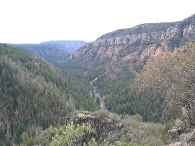
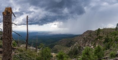
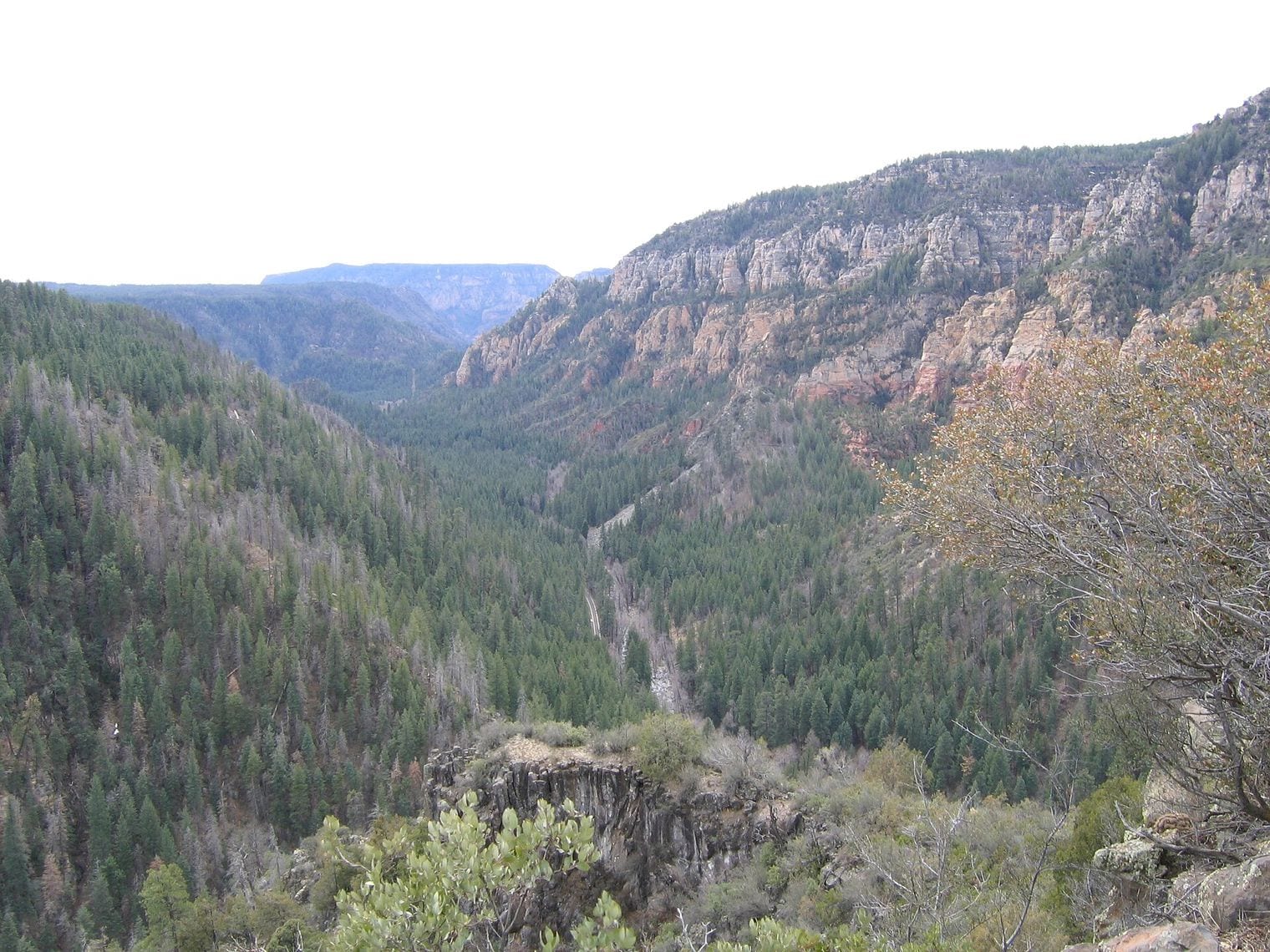
Oak Creek Canyon is the red-walled gorge that carries SR 89A between Sedona and Flagstaff, often described as a smaller cousin of the Grand Canyon. Its star is Slide Rock State Park, where Oak Creek shoots down a natural water slide in its slippery creek bed beside a historic apple farm.
Hikers head for the West Fork Trail, which crisscrosses the creek beneath towering canyon walls, and the Oak Creek Vista overlook at the top of the switchbacks looks straight down the gorge.
Slide Rock is about 2 hours (123 miles) from Phoenix: I-17 north to Sedona, then SR 89A up the canyon. Summer is peak swimming season, so go early before the parking fills, and fall color lights up the canyon later in the year. Drive the whole road to Flagstaff and return on I-17 for a loop.
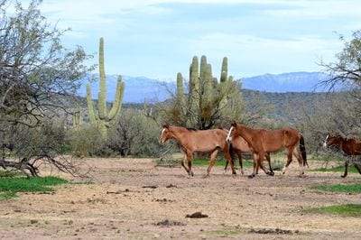
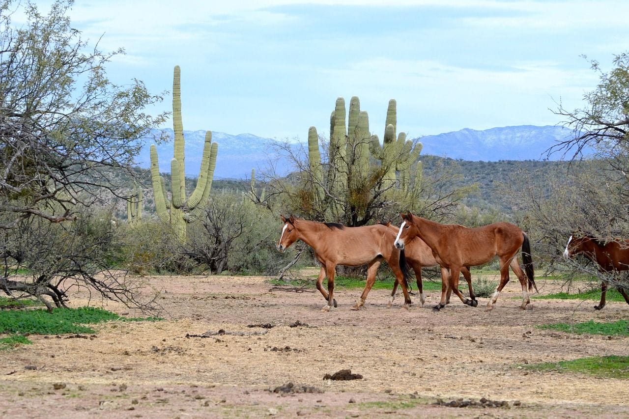
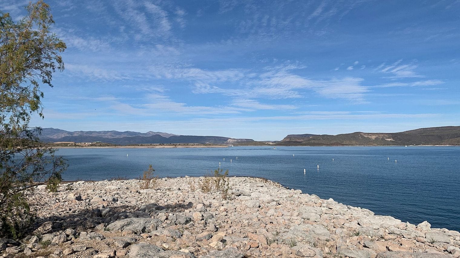
The Salt River below Saguaro Lake is Phoenix's summer playground, a cottonwood-lined stretch of the Tonto National Forest just east of Mesa. Seasonal tubing outfitters float crowds down the current on hot weekends, while kayakers and paddleboarders find quieter water on weekdays. The river is best known for the Salt River wild horses, herds that graze the banks and wade into the shallows; a 2016 state law protects them from harassment, so watch from a distance.
It's about 45 minutes (39 miles) east via the Bush Highway, the closest trip on this list. Saguaro Lake, on the same stretch of river, adds boating and a lakeside picnic. Go early in the day in summer; in the cooler months the riverbanks are quieter and good for spotting the horses.
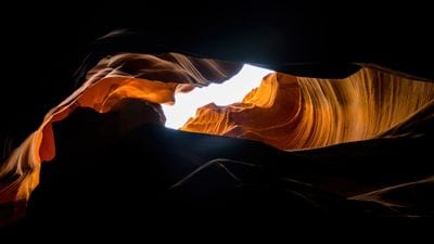
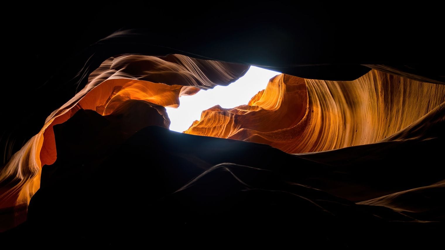
Antelope Canyon is the farthest trip on this list and among the most photographed places in the Southwest: sculpted sandstone slot canyons near Page, on Navajo land in the Lake Powell Navajo Tribal Park. Upper Antelope is the walk-in slot famous for its shafts of midday light; Lower Antelope threads a narrower, twisting passage with stairs and ladders.
Every section can be visited only on a tour with an authorized Navajo guide operator, so book ahead. A short drive away, Horseshoe Bend frames the Colorado River from a rim some 1,000 feet above the water.
At about 5 hours (285 miles) each way, north on I-17 to Flagstaff and then US-89 to Page, it's the one entry beyond the rest of the list's range, included because tours run it from Phoenix in a single day. Expect a 14- to 15-hour day; a guided tour or a night in Page is the saner way to do it. Spring and fall avoid the worst heat and the summer monsoon storms that can flood the slots.
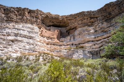
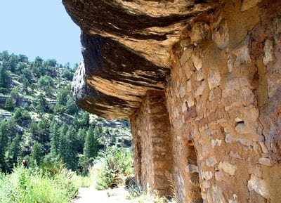
Montezuma Castle National Monument protects a five-story cliff dwelling of about 20 rooms, tucked into a limestone alcove high above Beaver Creek. It was built by the Southern Sinagua people between roughly 1100 and 1425 CE. The name is a misnomer: early settlers wrongly linked it to the Aztec emperor Montezuma, who was born almost a century after it was abandoned. A short paved loop at the foot of the cliff gives the classic view from below.
It's about 1½ hours (94 miles) north on I-17 to exit 289 at Camp Verde, and the visit takes an hour or so. Montezuma Well, a spring-fed limestone sinkhole about 11 miles away, is part of the same monument and worth the detour. Combine it with Out of Africa Wildlife Park (#30) or carry on to Cottonwood and Jerome.
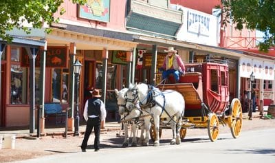
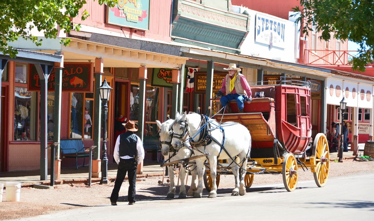
Tombstone is the silver-boom town of the Gunfight at the O.K. Corral, fought on October 26, 1881, and it leans happily into the legend. Allen Street's boardwalks host staged gunfights and stagecoach rides; the Bird Cage Theatre, which opened as a saloon and dance hall in 1881, survives as a museum; the 1882 courthouse is now Tombstone Courthouse State Historic Park; and Boothill Graveyard holds the McLaury brothers and Billy Clanton.
Plan on about 3 hours (186 miles): I-10 east past Tucson to Benson, then SR 80 south. Bisbee (#18) is about half an hour further on and makes a natural pairing, with Kartchner Caverns (#17) a short detour on the way. Fall through spring is the time to go; the town sits higher than Phoenix but summers are still hot.
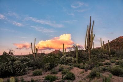
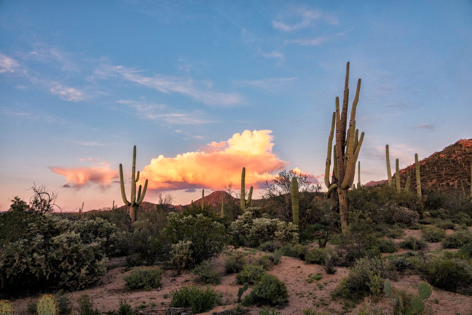
Saguaro National Park protects the giant saguaro cactus in two districts on either side of Tucson. The Tucson Mountain District to the west has the Bajada Loop Drive and the petroglyphs of Signal Hill; the Rincon Mountain District to the east has the paved Cactus Forest Loop Drive and trails climbing toward the mountains. It became a national monument in 1933 and a national park in 1994.
The western district's Red Hills Visitor Center is about 2 hours (110 miles) from Phoenix via I-10 south. Pair it with the neighboring Arizona-Sonora Desert Museum or with dinner in Tucson (#5). Come between October and April and stay for sunset, when the saguaros turn to silhouettes; summer afternoons are dangerously hot.
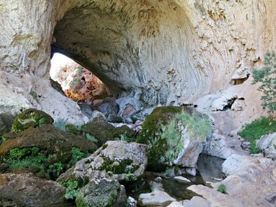
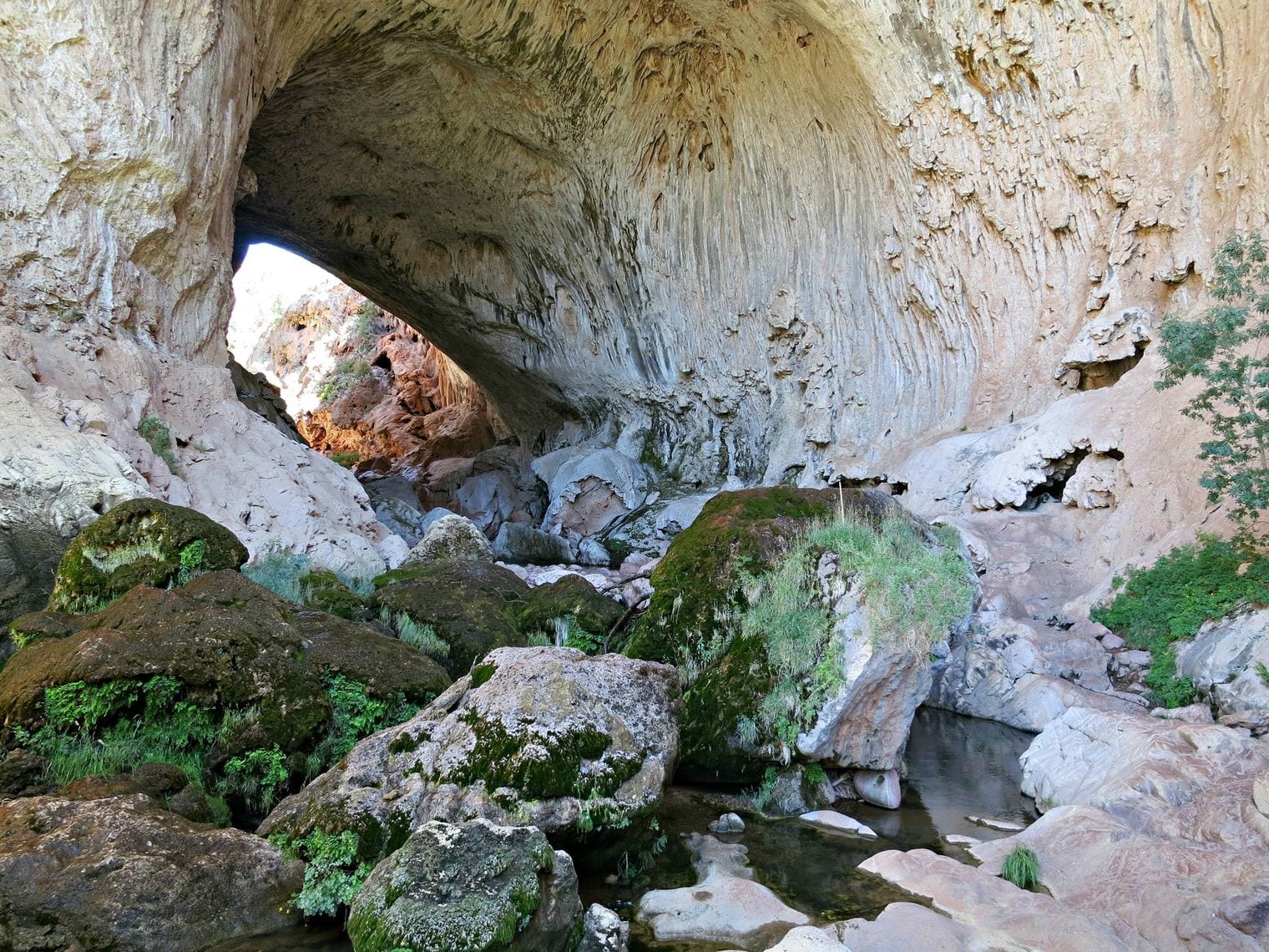
Tonto Natural Bridge State Park shelters what is believed to be the largest natural travertine bridge in the world, rising 183 feet above a 400-foot-long tunnel carved by Pine Creek. Short, steep trails lead down to the creek and into the tunnel itself, where water drips from mossy ledges, and viewpoints on the rim look straight down into the gap.
It's about 2 hours (103 miles) north on SR 87, the Beeline Highway, through Payson toward Pine. Higher and cooler than the Valley, it's a good summer choice; pair it with Payson (#20) and a drive to the Mogollon Rim. The trails are steep and can be slippery, so wear shoes with grip.
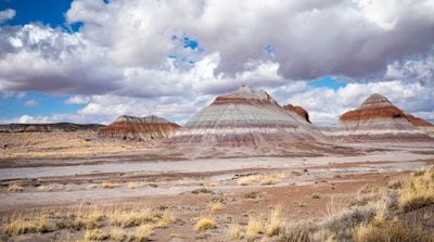
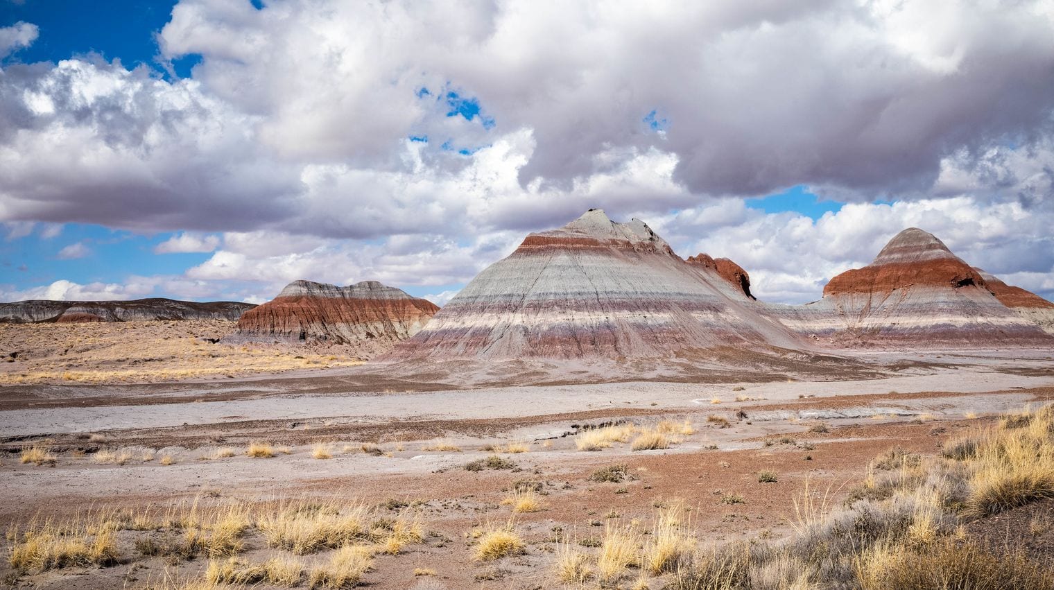
Petrified Forest National Park is a vast spread of fossilized logs and painted badlands in north-eastern Arizona. A single scenic road runs through it from end to end, linking the colorful Painted Desert overlooks in the north, a marker where old Route 66 crossed the park, the Newspaper Rock petroglyphs, the blue-and-purple badlands of Blue Mesa and the log-strewn Crystal Forest. It was declared a national monument in 1906 and a national park in 1962.
The park is about 3¾ hours (212 miles) away, north on SR 87 over the Mogollon Rim to Winslow, then east on I-40. It's a long day, but because the road crosses the whole park you can enter at one end and leave by the other. Spring and fall are best; bring water, and leave every scrap of wood where it lies, since collecting it is illegal.
Cottonwood is the Verde Valley's easygoing hub, and its walkable Old Town is lined with tasting rooms pouring wines from the Verde Valley Wine Trail. Dead Horse Ranch State Park on the Verde River has lagoons, riverside trails and fishing, and next door in Clarkdale, Tuzigoot National Monument crowns a ridge with a Sinagua pueblo of about 110 rooms.
It's about 1¾ hours (105 miles) north on I-17, then west on SR 260. Cottonwood sits at the foot of the hill below Jerome (#3) and a few minutes from the Verde Canyon Railroad (#19) depot, so the three pair easily. Spring and fall are prime; summer afternoons are warm but gentler than in the Valley.
Kartchner Caverns State Park protects a living limestone cave, still growing, that local cavers discovered in 1974; it opened to the public in 1999. The cave can be seen only on guided tours, which lead through humid chambers of stalactites, stalagmites and delicate soda straws. The Big Room is shown only seasonally, because a colony of bats uses it as a nursery in the warmer months.
It's about 2¾ hours (168 miles): I-10 east past Tucson to Benson, then a few miles south on SR 90. Book a tour ahead, and pair the cave with Tombstone (#12) and Bisbee (#18) for a long southern loop. Underground, the conditions barely change through the year, so it works in any season.
Bisbee is a Victorian copper-mining town tucked into the canyons of the Mule Mountains, its houses stacked up hillsides linked by long public staircases. Put on a hard hat and headlamp for the Queen Mine Tour, which rides a mine train into the mountain with guides who tell the town's mining story, then look down into the huge terraced Lavender Pit. Old Bisbee's Brewery Gulch and Main Street are full of galleries, bars and quirky shops.
At about 3½ hours (210 miles), via I-10 east to Benson and then SR 80 south through Tombstone, Bisbee is a long day; pairing it with Tombstone (#12), about half an hour away, makes the drive worth it. At over 5,000 feet it stays milder than Phoenix, so it works in most seasons, though many visitors stay the night.
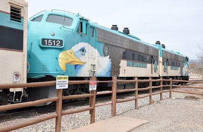
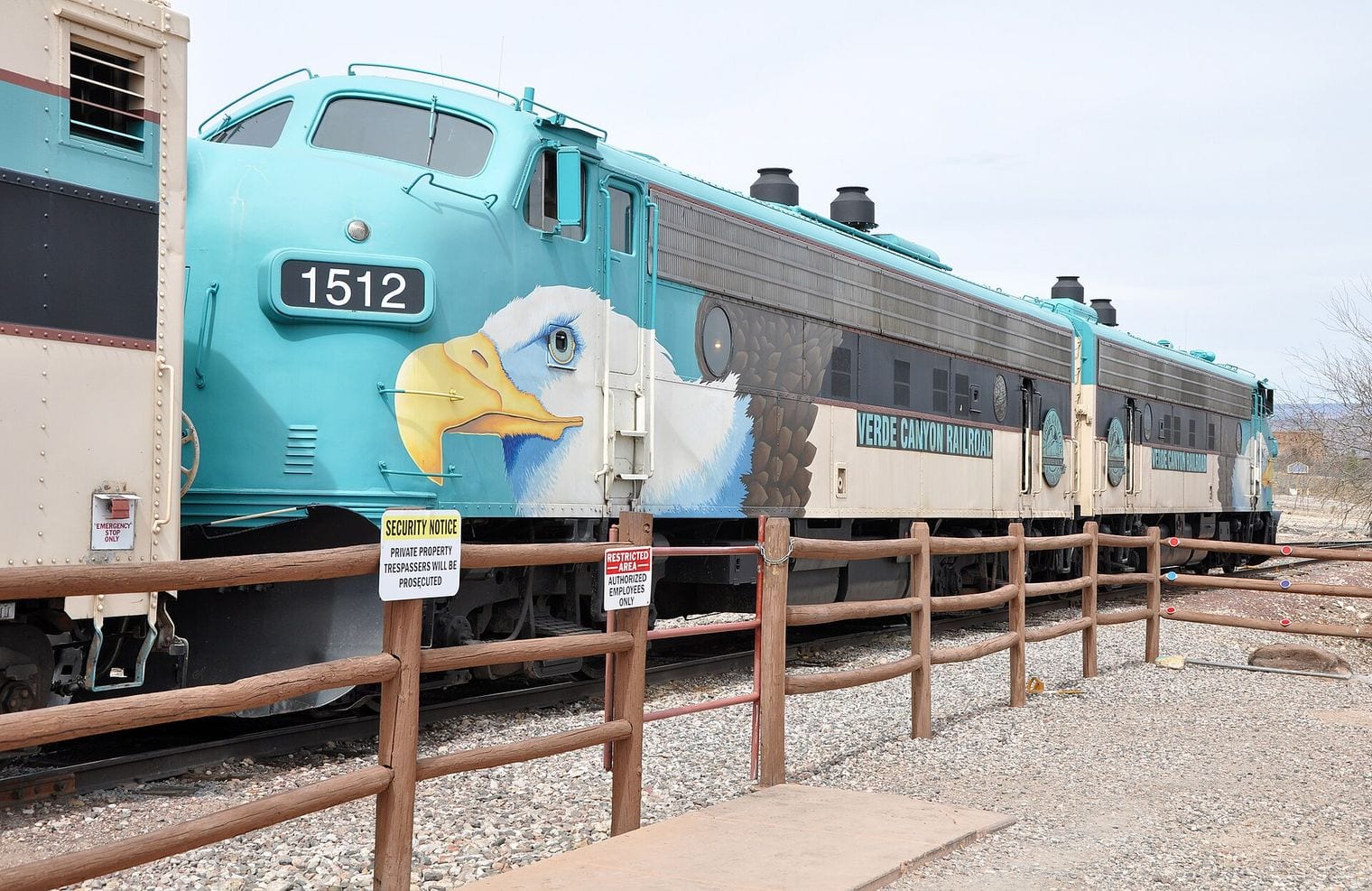
The Verde Canyon Railroad is a heritage excursion train that runs about four hours round trip from Clarkdale into a stretch of the Verde River canyon best seen by rail. The line follows the river between red-rock cliffs, passes Sinagua ruins and rolls through a 734-foot tunnel before turning back at the old Perkinsville ranch. Watch for bald eagles and herons along the water.
The Clarkdale depot is about 1¾ hours (107 miles) away via I-17, SR 260 and SR 89A. Book ahead, arrive early, and pair the ride with Tuzigoot, Cottonwood (#16) or Jerome (#3), all a few minutes away. Spring and fall bring the gentlest weather for the open-air cars.
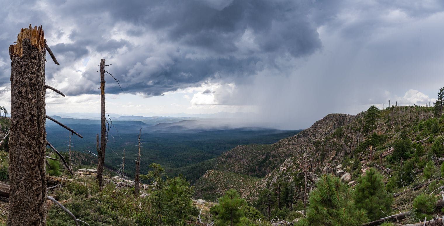
Payson calls itself the Heart of Arizona for its spot near the center of the state, and it is the gateway to Rim Country, where the forested cliffs of the Mogollon Rim rise above town. Drive the Rim Road along the top for sweeping views over the Tonto National Forest, stop in the small mountain communities of Pine and Strawberry, and visit the Rim Country Museum, where a faithful replica of author Zane Grey's cabin stands next door.
It's about 1½ hours (89 miles) north on SR 87, the Beeline Highway. At roughly 5,000 feet Payson is a summer refuge, and Tonto Natural Bridge (#14) is a short drive north. Monsoon storms build over the Rim on summer afternoons, so start early.
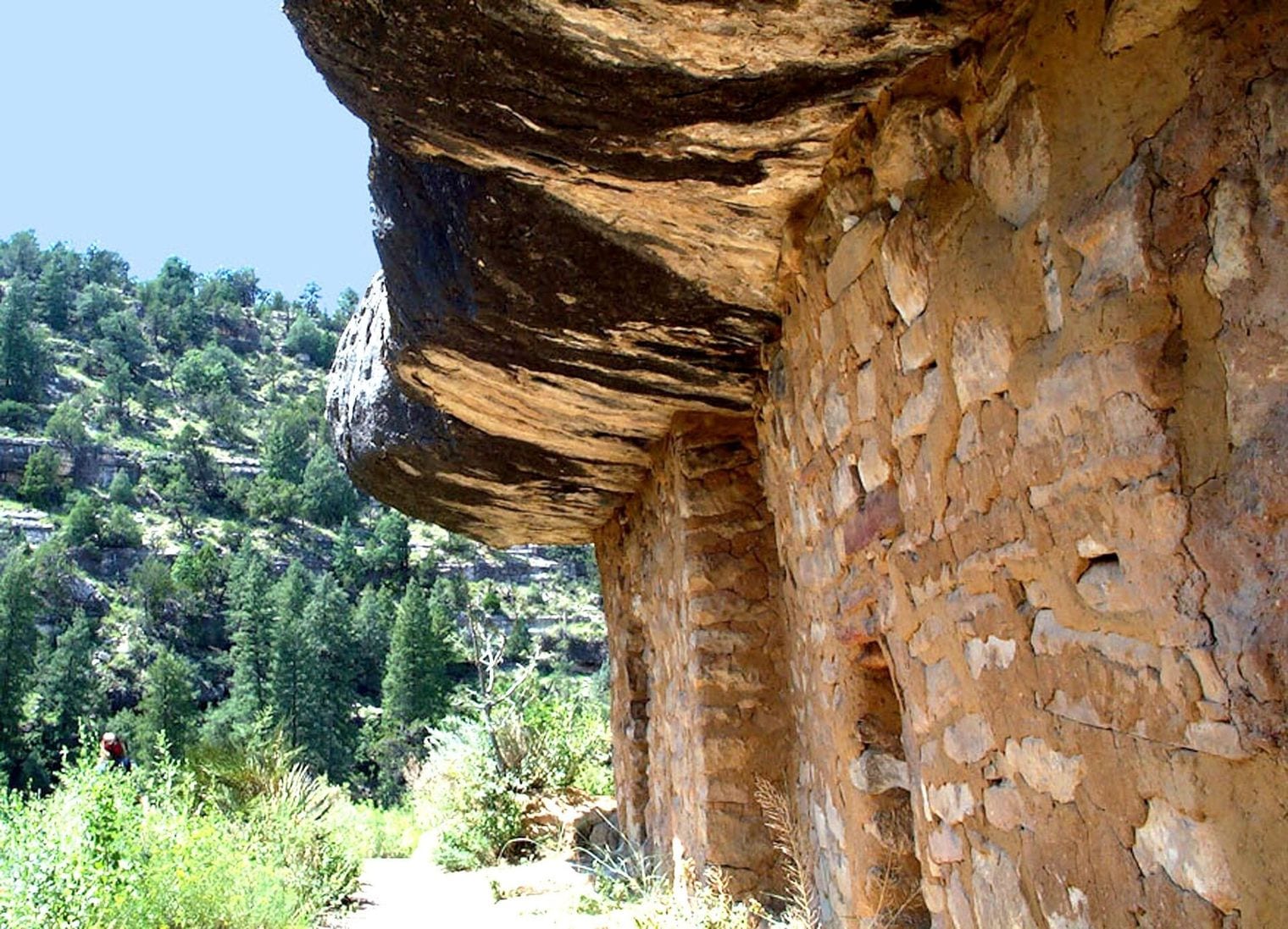
Walnut Canyon National Monument preserves cliff dwellings built by the Sinagua in the ledges of a limestone canyon east of Flagstaff, lived in from about 1100 to 1250. The Island Trail, a loop of just under a mile, drops 185 feet by stairs into the canyon and circles a rock 'island' past some 25 cliff-dwelling rooms, close enough to peer inside. The easier Rim Trail stays on top with canyon views.
Plan on about 3 hours (162 miles): I-17 north to Flagstaff, then I-40 east. Combine it with Flagstaff (#7), or with Sunset Crater (#22) and Meteor Crater (#27) for a full northern loop. The rim sits at nearly 6,700 feet, so it's cool in summer, and the climb back up the stairs is at altitude.
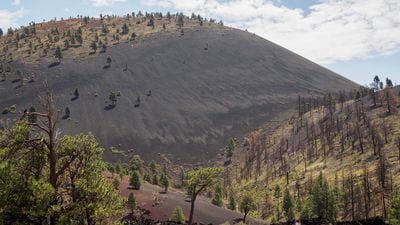
Sunset Crater Volcano National Monument protects the youngest volcano in the San Francisco volcanic field, a dark cinder cone that erupted around 1085. The cone itself has been closed to hiking since 1973 to protect it from erosion, but the Lava Flow Trail loops across a jagged lava field at its base, and the Lenox Crater Trail climbs a smaller cone nearby.
It's about 2¾ hours (165 miles): I-17 to Flagstaff, then US-89 north. A 34-mile scenic loop road continues through Wupatki National Monument, whose red-stone pueblos make it a two-monument day. Spring through fall is best, as winter snow can linger at this height.
Williams, Arizona, is a Route 66 town of neon signs and old-fashioned diners, and it was the last town on the old highway to be bypassed by Interstate 40. It's also the departure point of the Grand Canyon Railway, which runs vintage trains to the South Rim, and just outside town Bearizona lets you drive through forest enclosures of bears, wolves and bison.
It's about 2½ hours (175 miles): I-17 north, then I-40 west from Flagstaff. Riding the railway to the canyon and back is a full day, so leave early; otherwise pair Williams with Flagstaff (#7). At close to 6,800 feet, it's a cool summer escape and can be snowy in winter.
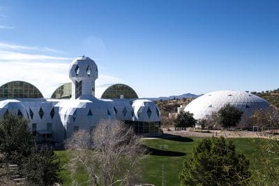
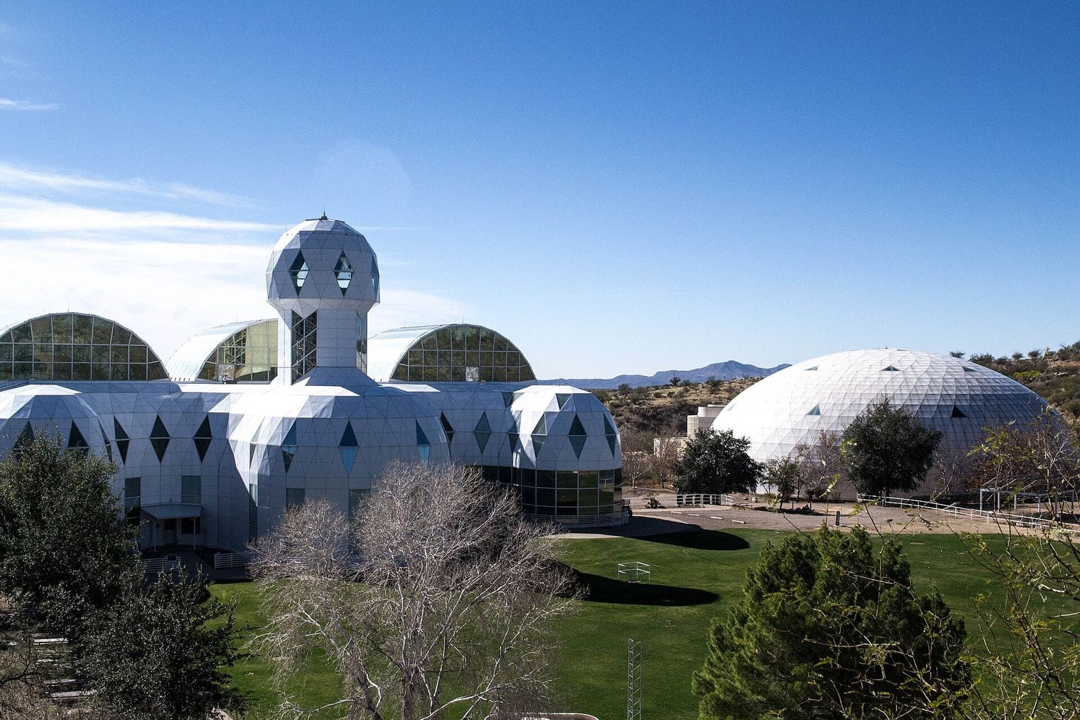
Biosphere 2 is the giant glass-and-steel structure near Oracle that sealed eight people inside for a two-year closed-habitat mission from 1991 to 1993. Built to test whether people could live in a self-contained ecosystem, it has belonged to the University of Arizona since 2011 and is now an Earth-science research facility. Tours lead through its rainforest, ocean and desert biomes and behind the scenes into the machinery that kept it sealed.
It's about 2¼ hours (114 miles) south-east of Phoenix, in the foothills north of Tucson. Pair it with Mount Lemmon (#25) or Tucson (#5); the grounds are hot in summer, so fall to spring is best.
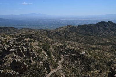
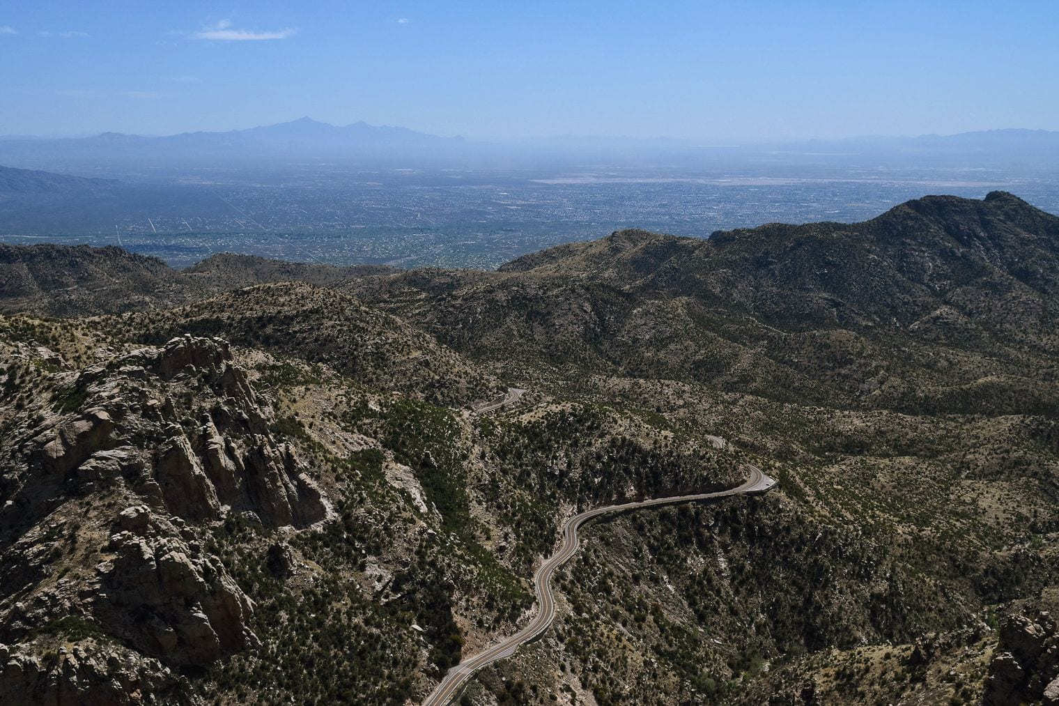
Mount Lemmon is the 9,157-foot summit of the Santa Catalina Mountains, and the drive up is the attraction: the Catalina Highway climbs from saguaro desert on Tucson's edge to pine and fir forest near the top. Stop at Windy Point Vista for the view back over the city, stroll the little mountain village of Summerhaven, and ride the lift at Mount Lemmon Ski Valley, the southernmost ski area in the continental United States.
Summerhaven is about 2¾ hours (153 miles) away: I-10 south to Tucson, then the Catalina Highway. It's southern Arizona's go-to summer escape from the heat, and heavy snow can close the highway for a day or so in winter. Combine it with Tucson (#5) or Biosphere 2 (#24).
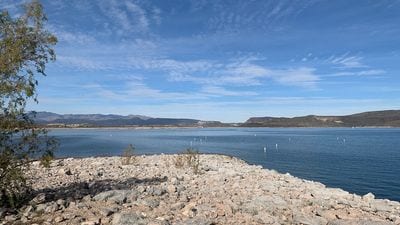
Lake Pleasant Regional Park is Maricopa County's big lake escape north of Peoria, a reservoir ringed by desert hills and saguaros. Rent a boat or paddleboard at the marina, fish, swim, or camp along the shoreline, and use the park's scenic drives and short trails for a lazy afternoon of desert views.
It's about 45 minutes (45 miles) north of downtown, making it one of the quickest trips on this list. Summer weekends are busy on the water; spring and fall bring calmer days, and winter is lovely for hiking the shoreline.
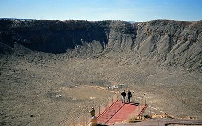
Meteor Crater, also called Barringer Crater, is one of the best-preserved meteorite impact sites on Earth: a bowl nearly a mile across and roughly 560 feet deep, blasted out of the desert about 50,000 years ago. Viewing platforms on the rim look straight into it and a visitor center explains the impact; the crater is still privately owned by the Barringer family.
It's about 3 hours (187 miles): I-17 to Flagstaff, then I-40 east to exit 233 and six miles south. Pair it with Walnut Canyon (#21) on the way, or with Winslow on old Route 66 just beyond. Winds can be strong on the rim, so bring a layer in any season.
Lake Havasu City is a desert resort town on the Colorado River where London Bridge, bought from the City of London in 1968, now spans a channel. Only the original granite facing made the journey; the bridge was rebuilt around a concrete core and completed in 1971. Boating and beaches on Lake Havasu fill the days, and more than two dozen scaled-down replica lighthouses dot the shoreline.
It's about 3¼ hours (200 miles) west of Phoenix, so treat it as a long day or an easy overnight. Summer is extremely hot on the river; October through April is the time to visit.
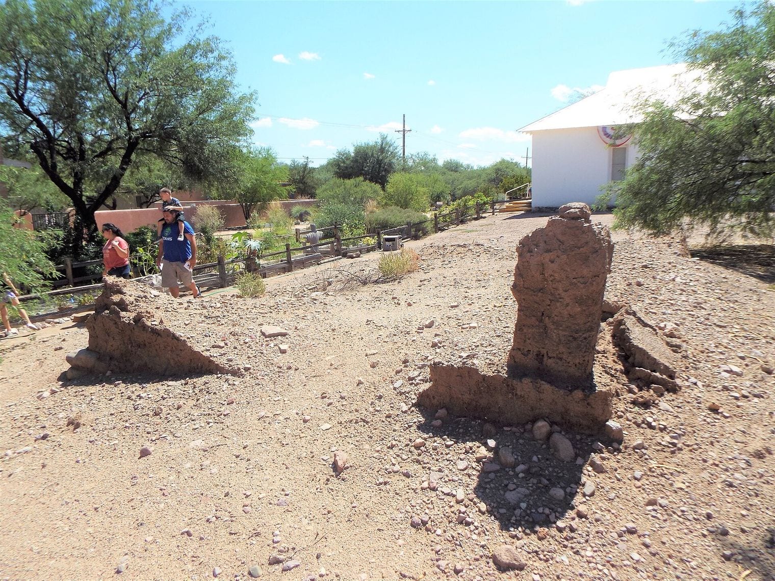
Tubac, on the Santa Cruz River south of Tucson, was the first Spanish colonial garrison in what is now Arizona and is today an artists' colony of galleries, studios and craft shops. Tubac Presidio State Historic Park, Arizona's oldest state park, preserves the ruins of the 1752 Presidio San Ignacio de Tubac with a museum and an underground archaeology display. A riverside stretch of the Juan Bautista de Anza trail leads south to the mission church at Tumacácori.
It's about 2½ hours (159 miles): I-10 south to Tucson, then I-19 south. Pair it with Tumacácori or with Mission San Xavier del Bac on the way back. Winter and spring are ideal; summer brings heat and monsoon storms.
Out of Africa Wildlife Park in Camp Verde has shown big cats and African animals in large, naturalistic habitats since 2005. The African Bush Safari bus tour takes you close to giraffes and zebras, the Predator Feed has keepers throwing meat to lions and tigers on scheduled days, and a zip-line course crosses above the predator enclosures.
It's about 1½ hours (93 miles) north on I-17 to Camp Verde. Pair it with Montezuma Castle (#11), a few minutes away, for an easy family day. Spring and fall are the most comfortable seasons; in summer, go in the morning.
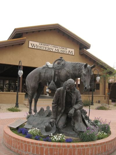
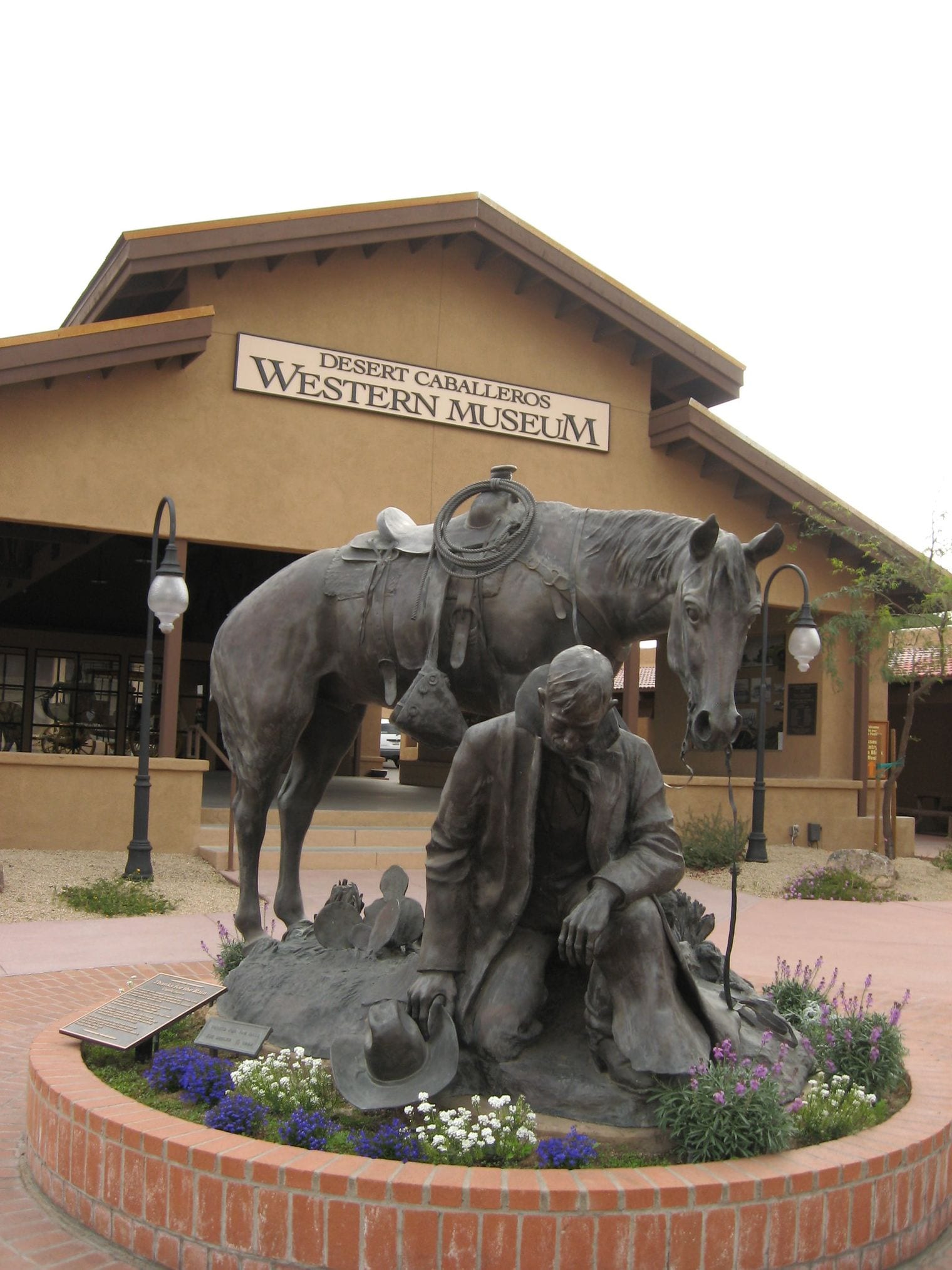
Wickenburg is an Old West ranching town that owes its start to the Vulture Mine, an 1863 gold strike that became the most productive gold mine in Arizona history. Its guest ranches earned it the slogan Dude Ranch Capital of the World, the Desert Caballeros Western Museum is packed with Western art, and the Hassayampa River Preserve protects a shady stretch where the usually underground river flows above ground.
It's about 1¼ hours (67 miles) north-west on US-60. Wickenburg is at its best from fall to spring, when trail rides and downtown strolls are comfortable. It's an easy half day, so it pairs well with a sunset drive back across the Sonoran Desert.
Casa Grande Ruins National Monument, near Coolidge, protects the Great House, a multi-story earthen building raised by the Ancestral Sonoran Desert People, often called the Hohokam, and in use until around 1450 CE. In 1892 it became the first prehistoric and cultural reserve in the United States, and the steel shelter roof that shades it dates from 1932. Don't confuse it with the separate city of Casa Grande to the south-west.
It's about 1 hour (57 miles) south-east of Phoenix, making it one of the easiest half-day trips here. Visit from October to April, as the site is exposed and summer heat is fierce.
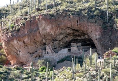
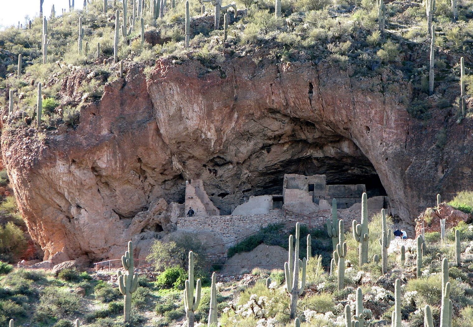
Tonto National Monument protects cliff dwellings built by the Salado people about 700 years ago in caves above the Salt River valley, looking out toward Theodore Roosevelt Lake. A paved but steep half-mile trail climbs to the Lower Cliff Dwelling, and the larger Upper Cliff Dwelling can be visited only on reserved, ranger-guided tours in the cooler months. Don't mix it up with Tonto Natural Bridge (#14), a different place entirely.
It's about 2 hours (109 miles) east: US-60 through Superior and Globe, then SR 188 north above Roosevelt Lake. Pair it with Boyce Thompson Arboretum (#34) on the way; winter and spring are the best seasons.
Boyce Thompson Arboretum State Park is Arizona's oldest and largest botanical garden, founded in 1924 by mining magnate William Boyce Thompson beneath the volcanic cliffs of Picketpost Mountain. A main loop trail of about 1.5 miles winds through a cactus garden, palm and eucalyptus groves, an Australian exhibit and a creekside walk along Queen Creek.
It's about 1 hour (62 miles) east on US-60, just west of Superior. Fall through spring is peak season, with wildflowers and cactus blooms in spring; in summer, go early in the day.
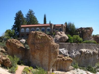
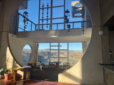
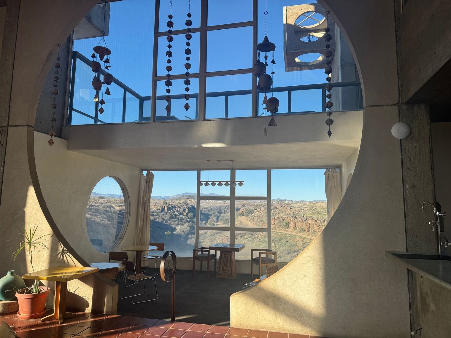
Arcosanti is architect Paolo Soleri's experimental town above the Agua Fria River, begun in 1970 to test his idea of arcology, a fusion of architecture and ecology in one compact, walkable settlement. Guided tours explain its concrete vaults and apses, and its foundry and studios still cast the bronze bells sold to support the project.
It's about 1¼ hours (67 miles) north on I-17 to Cordes Junction, then a short gravel road, which makes it an easy stop on the way to Prescott or Sedona. At about 3,700 feet it's pleasant for much of the year.
Plan your trip
Best Time to Visit for Phoenix Day Trips
Phoenix's heat sets the calendar. From October to April the low desert is at its best, so that's the season for the southern and low-elevation trips: Tucson, Saguaro National Park, Tombstone, Casa Grande Ruins, Boyce Thompson Arboretum, the Apache Trail and Lake Havasu City. In summer, go high instead: Flagstaff, Prescott, Payson, Williams and Mount Lemmon all sit thousands of feet above the Valley and run far cooler.
July through September is monsoon season. Afternoon thunderstorms can send flash floods through slot canyons and washes, close unpaved roads such as the far end of the Apache Trail, and bring lightning to high, exposed rims. Start early, check the forecast and ADOT's AZ511 road reports, and never drive into a flooded wash. In winter, snow can reach Flagstaff, the Grand Canyon's South Rim and the top of Mount Lemmon.
Getting to Phoenix
Most visitors fly into Phoenix Sky Harbor International Airport (PHX), a few miles east of downtown, and pick up a car at its consolidated rental-car center, linked to the terminals by shuttle bus. From the city, the highways fan out in every direction these trips need: I-17 north to Sedona, Flagstaff and the Grand Canyon, I-10 south to Tucson and the border country, US-60 east to the Superstition Mountains, and SR 87 north-east to Payson and the Mogollon Rim.
Getting Around on Phoenix Day Trips
You'll need a car or a tour, since public transit reaches almost none of these destinations. An ordinary car handles every paved route on this list; only the unpaved far end of the Apache Trail calls for high-clearance four-wheel drive. Leave the Valley early, especially on Friday and Sunday afternoons, when I-17 fills with weekend traffic between Phoenix and the high country, and carry more water than you think you need, because services are sparse on desert roads.
Guided tours are the easy alternative for the long-haul entries. Day tours from Phoenix run to Sedona, the Grand Canyon and Antelope Canyon, where a Navajo-authorized guide is required anyway, and Kartchner Caverns and the Upper Cliff Dwelling at Tonto National Monument can only be seen on guided tours too.
Where to Stay on Phoenix Day Trips
For most of this list, base yourself in the Phoenix metro area and come home each night. Downtown Phoenix, Scottsdale and Tempe all sit close to I-17, I-10 and US-60; the north side of the city shaves time off the I-17 trips, and the East Valley suits the Apache Trail and the Salt River.
The farthest trips reward a single night away. Sleeping in Sedona or Flagstaff turns the Grand Canyon into a relaxed day instead of a marathon, a night in Page takes the sting out of Antelope Canyon, and Bisbee makes a characterful base for Tombstone and Kartchner Caverns. For what to do on the days you stay put, see our guide to things to do in Phoenix.
Free Things to Do on Day Trips from Phoenix
Several of the best days out cost nothing but fuel. Driving the paved Apache Trail past the Superstitions to Tortilla Flat is free, as is the scenic drive up Oak Creek Canyon on SR 89A. Watching the wild horses on the Salt River costs nothing, though Tonto National Forest recreation sites require a day pass to park.
Strolling the historic streets of Jerome, Bisbee and Tombstone is free, and so is the Rim Road above Payson in the warmer months. National parks and monuments, state parks and private attractions charge entry fees.
Sedona is the classic day trip from Phoenix: red-rock buttes, trails for every level, jeep tours and an arts village, all about 1¾ hours up I-17. The Grand Canyon's South Rim is the bucket-list alternative, while Jerome and the Apache Trail offer something shorter and quirkier, and Tucson is the best big-city day out.
Can you do the Grand Canyon as a day trip from Phoenix?
Yes, but it is a long day. The South Rim is about 3¾ hours (229 miles) each way, so plan on roughly 7½ hours of driving plus time at the viewpoints. Leave at dawn and focus on Mather Point, the Rim Trail and Desert View, or join a guided day tour. The North Rim is too far for a day trip.
What are the closest day trips from Phoenix?
The Salt River and Lake Pleasant Regional Park are about 45 minutes away; Casa Grande Ruins National Monument and Boyce Thompson Arboretum take about an hour; and the Apache Trail, Wickenburg and Arcosanti are about 1¼ hours out. Each works as a half day, leaving plenty of time to get home before dark.
Where can you go from Phoenix to escape the summer heat?
Head uphill. Flagstaff at about 7,000 feet, Williams, Payson and the Mogollon Rim, Prescott and Mount Lemmon near Tucson all run far cooler than the Valley in summer, and Slide Rock State Park in Oak Creek Canyon offers a swim. Start early, because monsoon storms often build over the high country in the afternoon.
How many days do you need for day trips from Phoenix?
Allow one full day per destination for most of this list, since the typical trip is 1½ to 3 hours each way. The Grand Canyon, Petrified Forest, Bisbee and Antelope Canyon are long days that many visitors turn into overnights. A week based in Phoenix covers Sedona, the Grand Canyon, Jerome, Tucson and the Apache Trail comfortably.
Do you need a tour to visit Antelope Canyon?
Yes. Upper and Lower Antelope Canyon lie on Navajo land and can be entered only with an authorized Navajo guide operator, so book ahead. From Phoenix the canyon is about 5 hours each way, which is why many people take a full-day guided tour from the city or stay overnight in Page.