We may earn a commission if you book tickets, tours or a stay through a link on
this page, at no extra cost to you. It never affects which places we list or how
we rank them (how we make money).
Short answer
Start with Big Sur's Bixby Creek Bridge and McWay Falls, then the Hearst Castle tour at San Simeon and the elephant seals at Piedras Blancas just up the road. Driving all 656 miles of Highway 1 from Dana Point to Leggett takes five to seven unhurried days, and Big Sur alone deserves a full day.
California's Highway 1 runs 656 miles from Dana Point in Orange County to the redwoods at Leggett, and for most of that distance it hugs the Pacific: surf towns and piers in the south, the cliffs of Big Sur in the middle, fog-wrapped headlands and lighthouses in the north.
This guide ranks 60 stops along the route, from sea arches and Spanish missions to elephant seal beaches, each placed on the road so you can plan the drive. Allow five to seven unhurried days for the whole highway, or pick one stretch, and pair it with our guides to the state's beaches and small towns.
Map of Pacific Coast Highway Stops in California
Pacific Coast Highway Stops in California
Pacific Coast Highway Stops in California at a Glance
At 656 miles, Highway 1 is the longest state route in California, running from Interstate 5 near Dana Point to US 101 at Leggett.
"Pacific Coast Highway" is only one of its names — other stretches are signed Cabrillo Highway, Shoreline Highway or Coast Highway, and parts of it share the road with US 101.
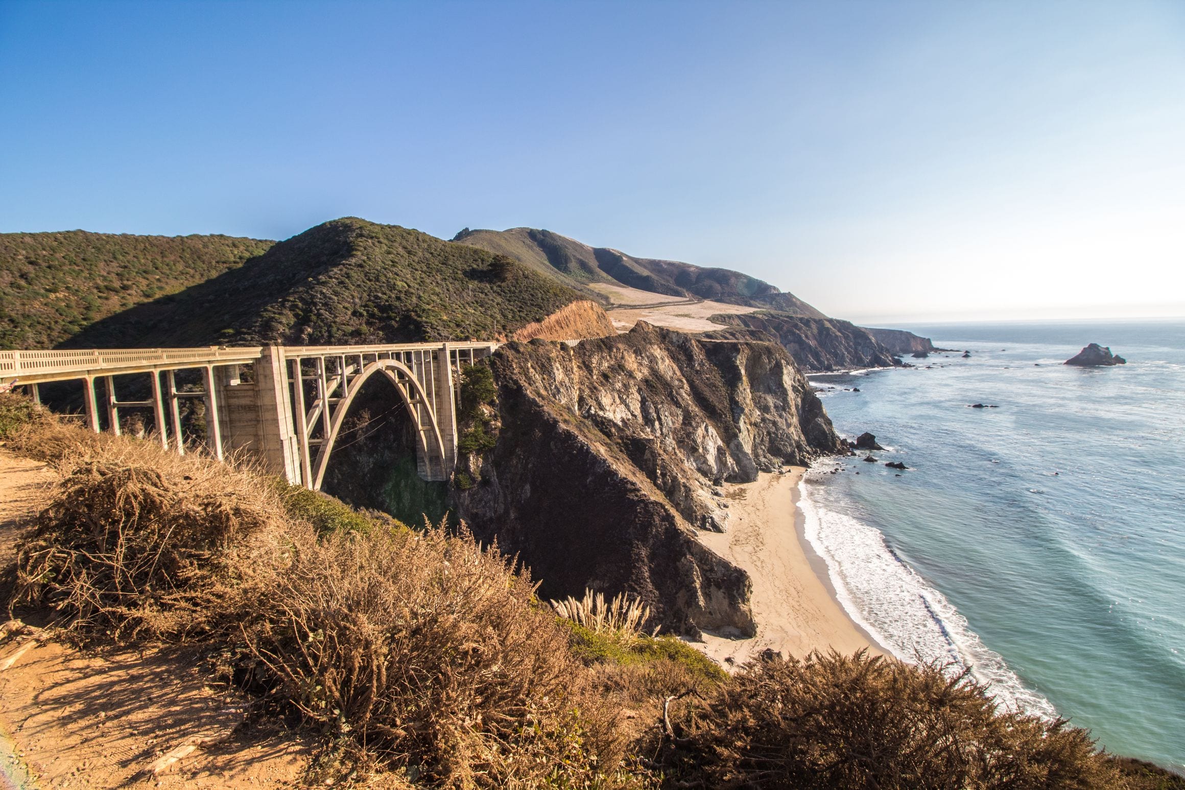
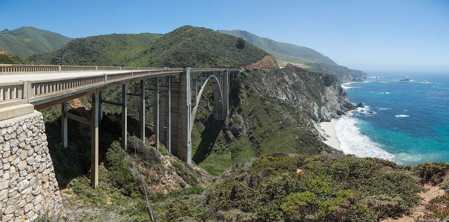
When Bixby Creek Bridge opened in 1932, it was the highest single-span arch bridge in the world.
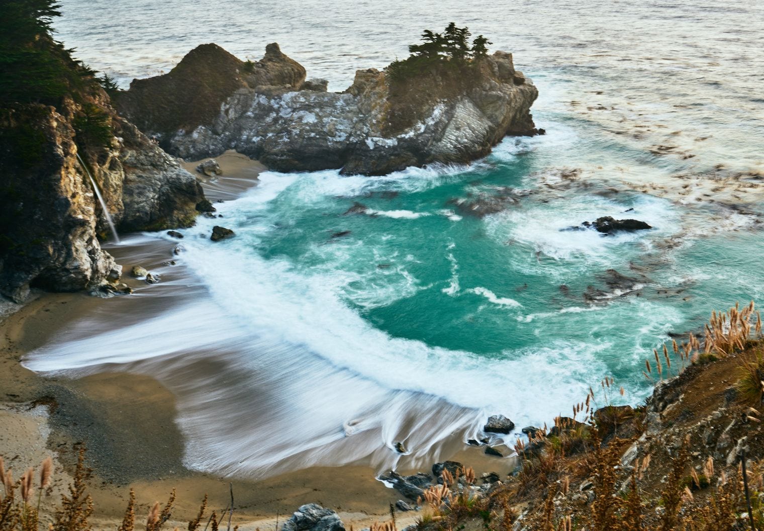
California has only two tidefalls — waterfalls that drop straight into the ocean — and both are near Highway 1: McWay Falls in Big Sur and Alamere Falls at Point Reyes.
The route passes both of the West Coast's tallest lighthouses, Pigeon Point and Point Arena, which share the title.
Año Nuevo State Park holds California's coastal midpoint, the halfway point of the state's shoreline.
Bixby Creek Bridge is the picture most people have in mind before they ever drive Highway 1: a single concrete arch leaping a deep canyon where the creek meets the sea, about 13 miles south of Carmel at the northern gateway to Big Sur. It opened in 1932, and before it, Big Sur's few residents were often cut off in winter when the old inland road became impassable.
The classic view is from the north side, looking back at the arch with the ocean behind it, and late afternoon light is the kindest to it. Roadside parking around the bridge has been restricted to ease congestion, so obey the posted signs, use a legal turnout and never stop on the highway shoulder for a photo.
McWay Falls drops about 80 feet from a cliff onto a pale, crescent beach in Julia Pfeiffer Burns State Park, roughly 37 miles south of Carmel in the heart of Big Sur. At high tide it falls straight into the ocean, making it one of only two tidefalls in California; the other, Alamere Falls, is also near Highway 1 at Point Reyes.
The short Overlook Trail from the park's day-use area is the usual viewpoint, but it has been closed for long stretches for retaining-wall repairs, so check the park's trail page before you go; the falls can also be glimpsed from the roadside above the cove. The beach and the cove around the falls are strictly off limits, with no ocean access at all; the fenced cliff-top viewpoint is as close as anyone gets.
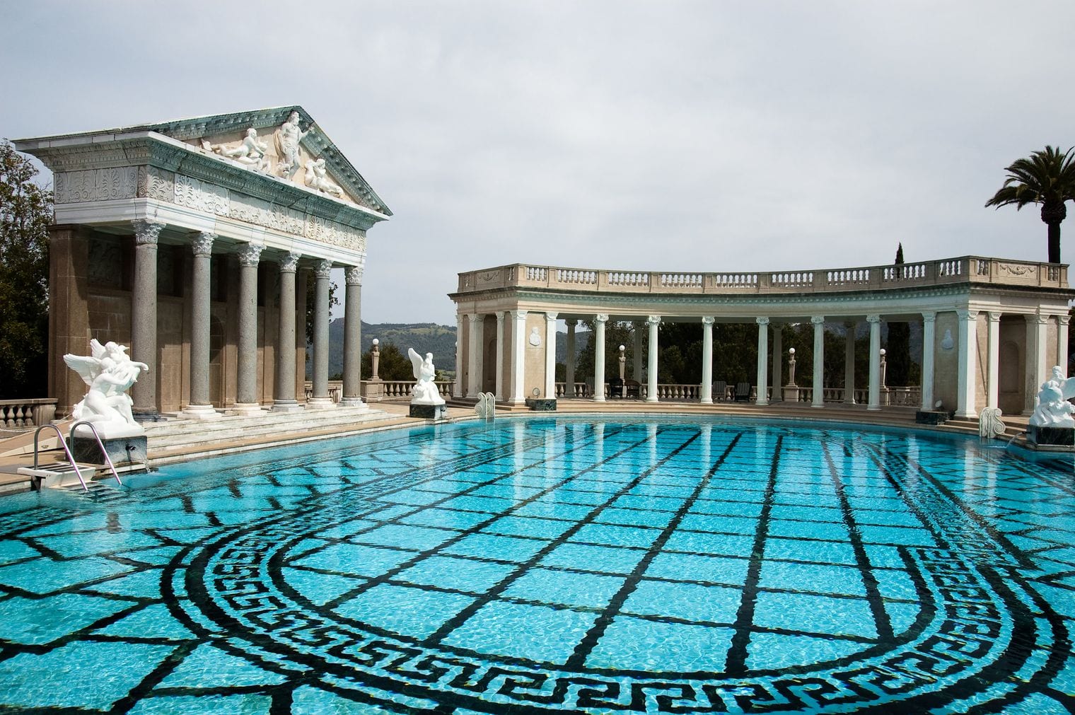
Hearst Castle crowns a hill above San Simeon at the southern end of Big Sur, the estate newspaper publisher William Randolph Hearst built with architect Julia Morgan between 1919 and 1947. Formally called La Cuesta Encantada, it is now a California State Park and a National Historic Landmark, filled with European art and antiques and set among terraced gardens.
Visits are by guided tour, which start at the visitor center beside Highway 1 and ride a bus up the winding road to the house. The outdoor Neptune Pool and the gilded indoor Roman Pool are the images everyone remembers; book ahead, especially in summer, and pair the visit with the elephant seals a few miles north.
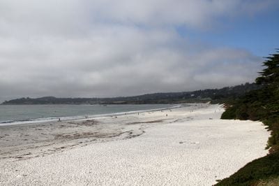
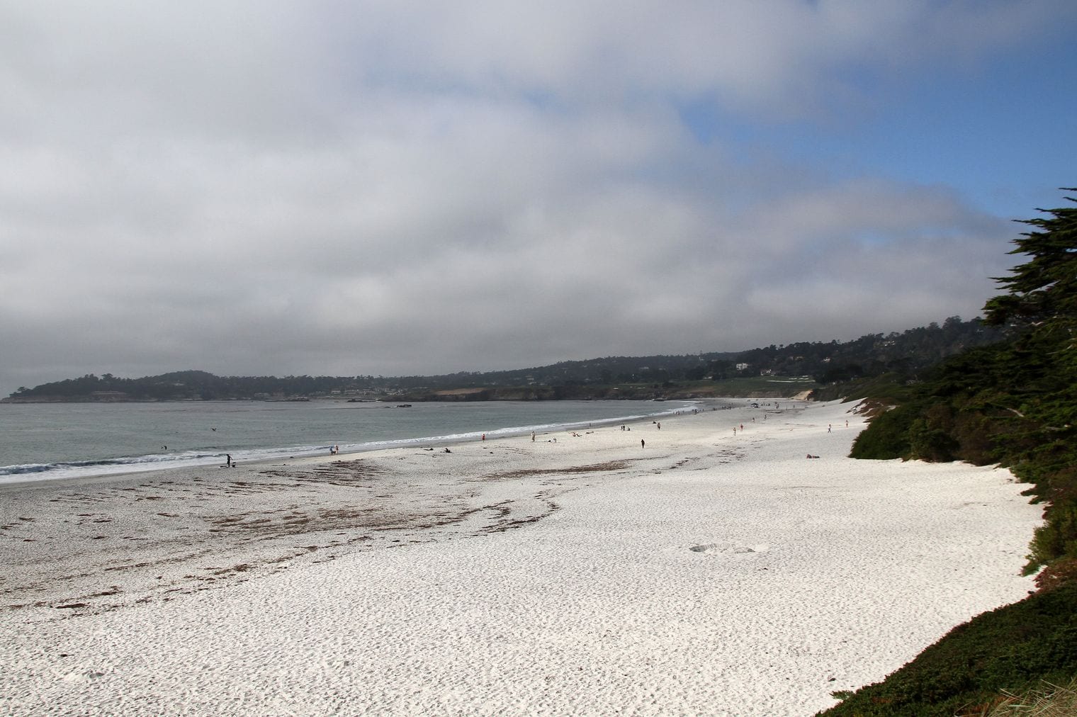
Carmel-by-the-Sea is the storybook village at the southern edge of the Monterey Peninsula, where Highway 1 leaves the bay behind and turns toward Big Sur. It grew into an artists' colony after the early 1900s, and its lanes of fairy-tale cottages, courtyards and galleries still feel more village than resort town.
Walk down Ocean Avenue, past the shops and cypress trees, until it ends at Carmel Beach, a sweep of white sand that is one of the peninsula's best places to watch the sunset. The town makes a comfortable base for Big Sur day trips, and the Carmel Mission sits on its southern edge by the mouth of the Carmel River.
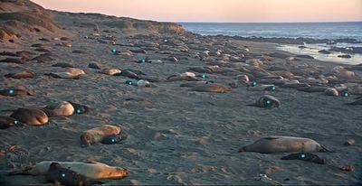
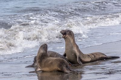
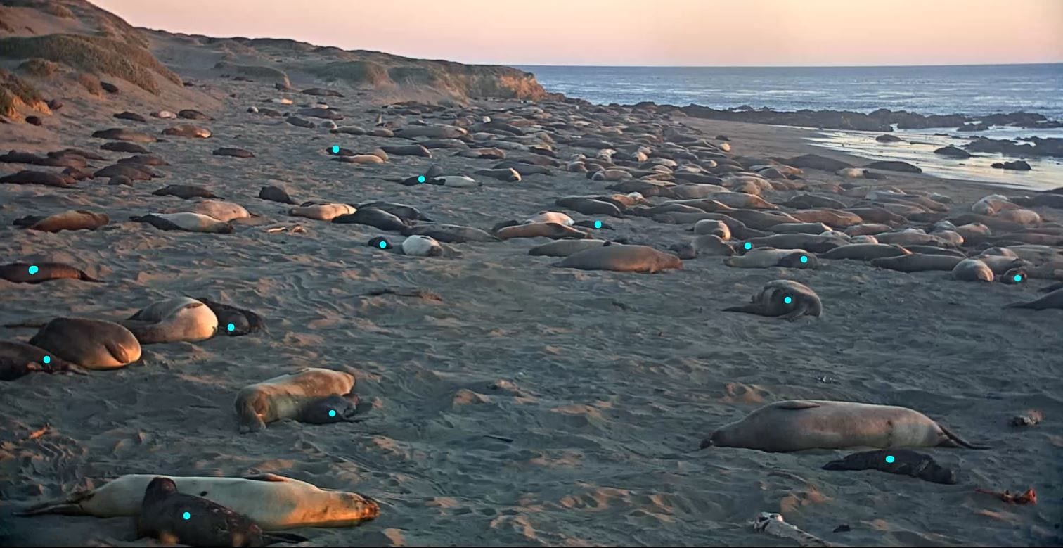
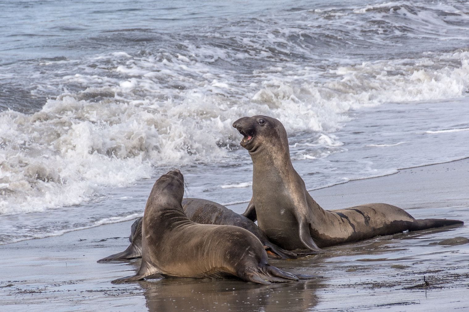
The Piedras Blancas Elephant Seal Rookery lines the beaches beside Highway 1 about seven miles north of San Simeon, just south of where Big Sur's cliffs give way to open coastal terraces. Northern elephant seals haul out here in large numbers through the year, and a flat, railed boardwalk lets you watch them from a few yards away at no cost.
Winter is the headline season, when the bulls fight for territory and the pups are born, but spring and summer bring molting seals too. Volunteer docents are often on hand to explain what you're seeing, and the viewing areas are right off the highway with their own parking, so it's an easy stop on the way to or from Hearst Castle.
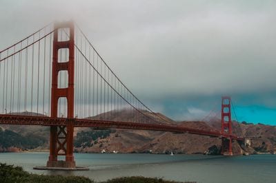
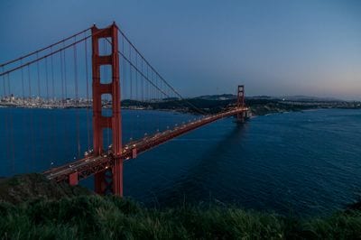
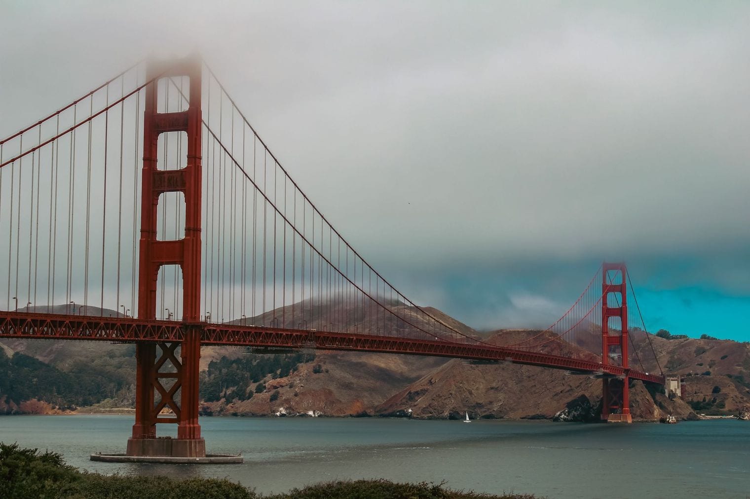
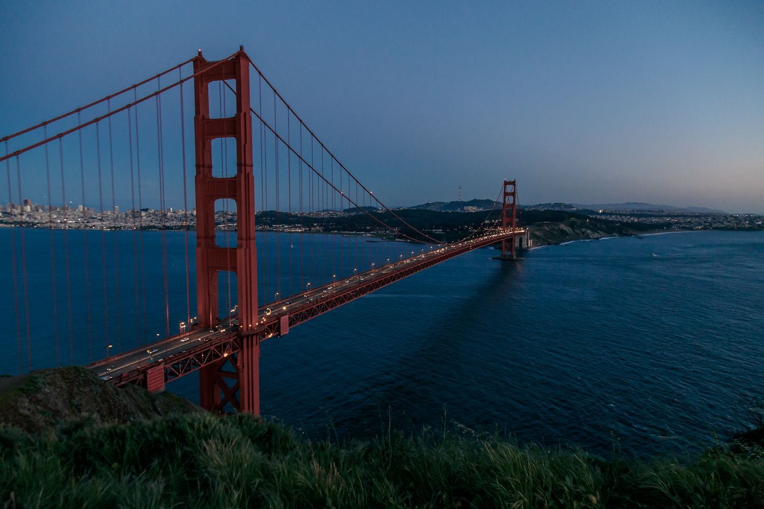
The Golden Gate Bridge carries Highway 1, together with US 101, across the mile-wide strait between San Francisco and Marin County, and it is the one stretch of the route every visitor recognizes. The suspension bridge opened in 1937, and its orange-red towers are often wrapped in fog that pours in from the ocean on summer afternoons.
Driving across takes a few minutes, but walking or cycling the bridge is the way to feel its scale, with views of Alcatraz and the city skyline on one side and open ocean on the other. Viewpoints at both ends, including Battery Spencer on the Marin side, give the classic angles.
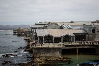
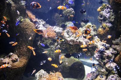
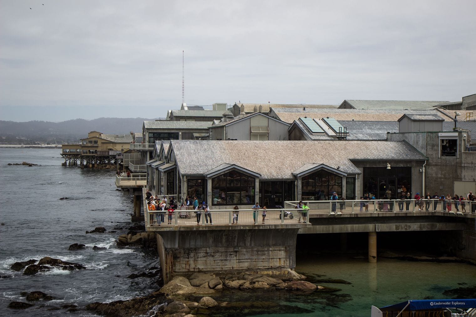
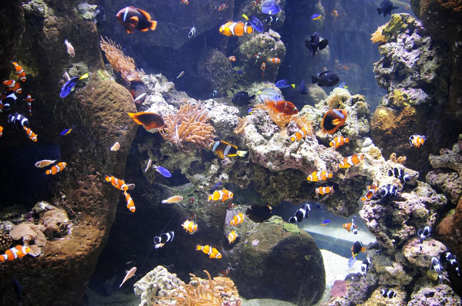
The Monterey Bay Aquarium sits on Cannery Row in Monterey, where Highway 1 rounds the southern shore of Monterey Bay. It focuses on the waters right outside its windows, and when it opened in 1984 it was the first aquarium to exhibit a living kelp forest, a tall tank of swaying kelp and schooling fish that is still the centerpiece.
Plan a half day for the sea otters, the drifting jellyfish galleries, the open-sea exhibit and the touch pools, and step out onto the back decks to watch the bay itself; wild otters and harbor seals often turn up just offshore. It is a strong rainy-day or foggy-day stop on any coastal drive.
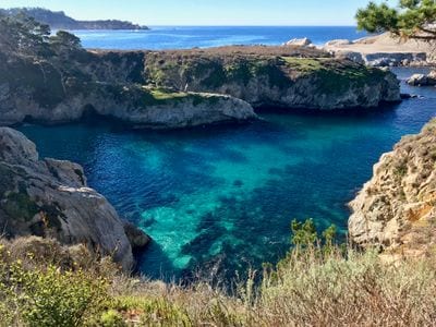
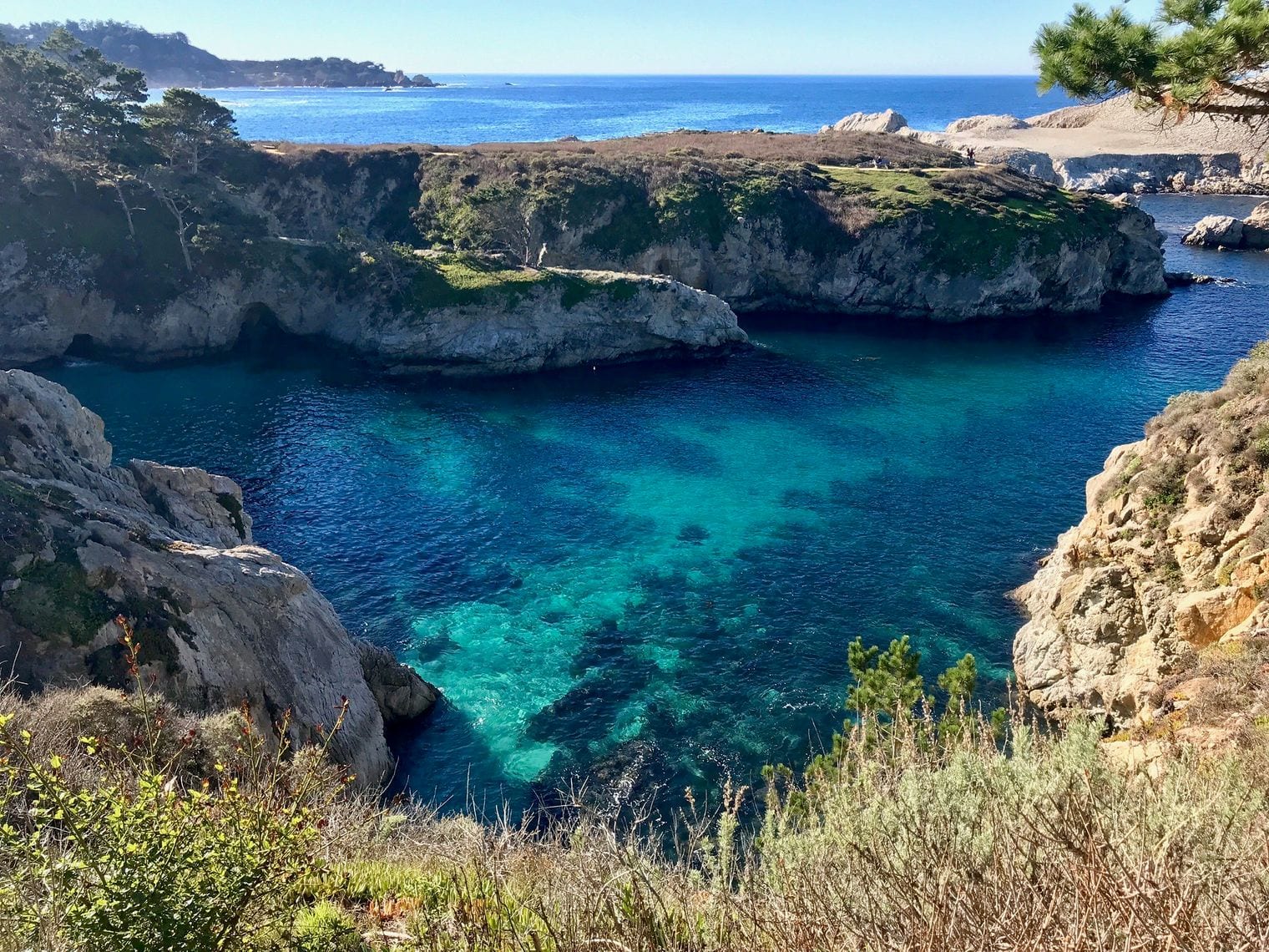
Point Lobos State Natural Reserve guards the coast just south of Carmel, where the Monterey Peninsula ends and the Big Sur coast begins. Its granite coves, cypress groves and offshore rocks sit beside what has been called one of the richest marine habitats in California, protected by two marine reserves.
Easy trails loop along the shoreline to viewpoints over coves such as China Cove, where sea otters, harbor seals and sea lions are regular sightings and gray whales pass offshore in season. The historic Whalers Cabin, built by Chinese fishermen, is now a small museum. Arrive early: the reserve's parking fills quickly, and it is one of the first stops heading south from Carmel.
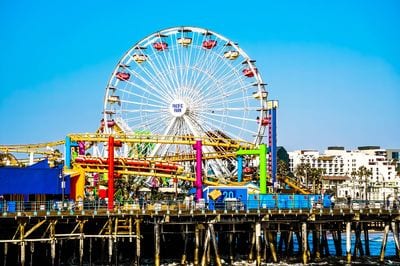
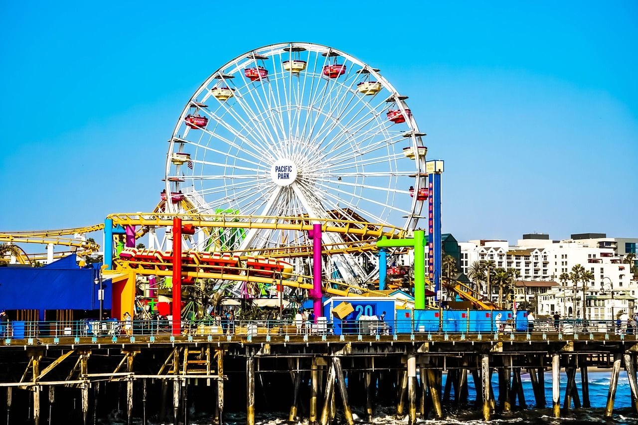
Santa Monica Pier juts into the Pacific at the foot of Colorado Avenue, a few blocks from where Highway 1 runs through Santa Monica on the western edge of Los Angeles. It holds a small amusement park with a Ferris wheel and roller coaster, arcades, fishing spots and food stands, and it's free to walk.
The pier is also the symbolic end of Route 66, marked with a sign that draws a steady line of photographers. Come at sunset, when the Ferris wheel lights up, then walk or cycle the beach path south toward Venice or north toward the Malibu coast, where the highway starts to feel like a coastal road again.
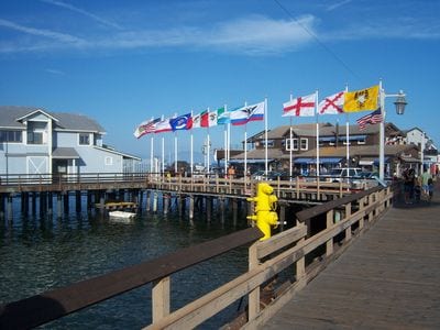
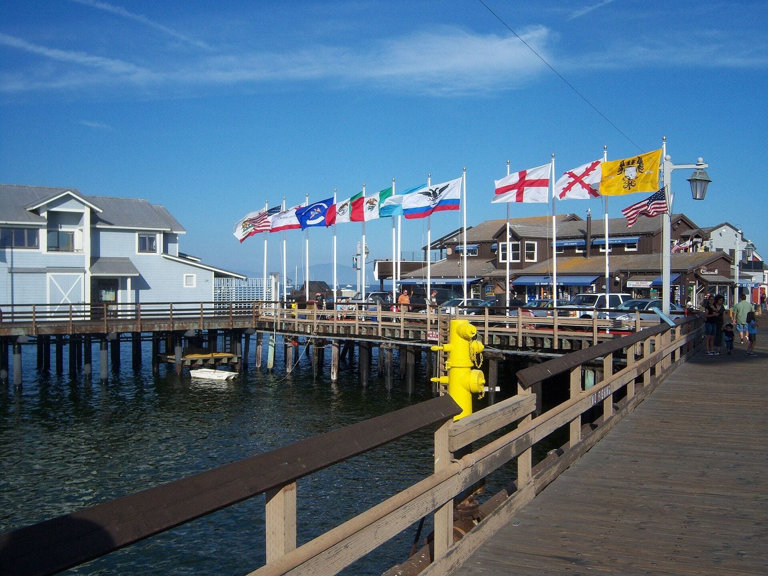
Santa Barbara faces south onto the Pacific between the Santa Ynez Mountains and the sea, one of the stretches where Highway 1 shares the road with US 101 on its way between Gaviota and Oxnard. Nicknamed the American Riviera, the city pairs a Mediterranean climate with Spanish Colonial Revival architecture and red-tile roofs.
Walk out on Stearns Wharf for the views back to the mountains, browse the tasting rooms and galleries of the Funk Zone near the waterfront, and climb the clock tower of the Santa Barbara County Courthouse for a rooftop panorama. Old Mission Santa Barbara, a separate stop in this guide, sits on the hillside above town.
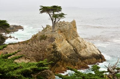
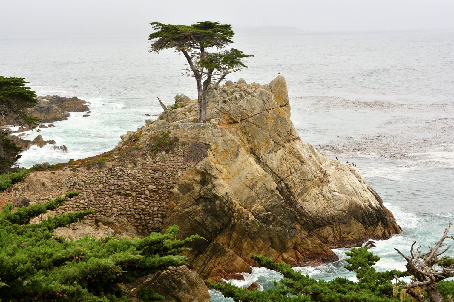
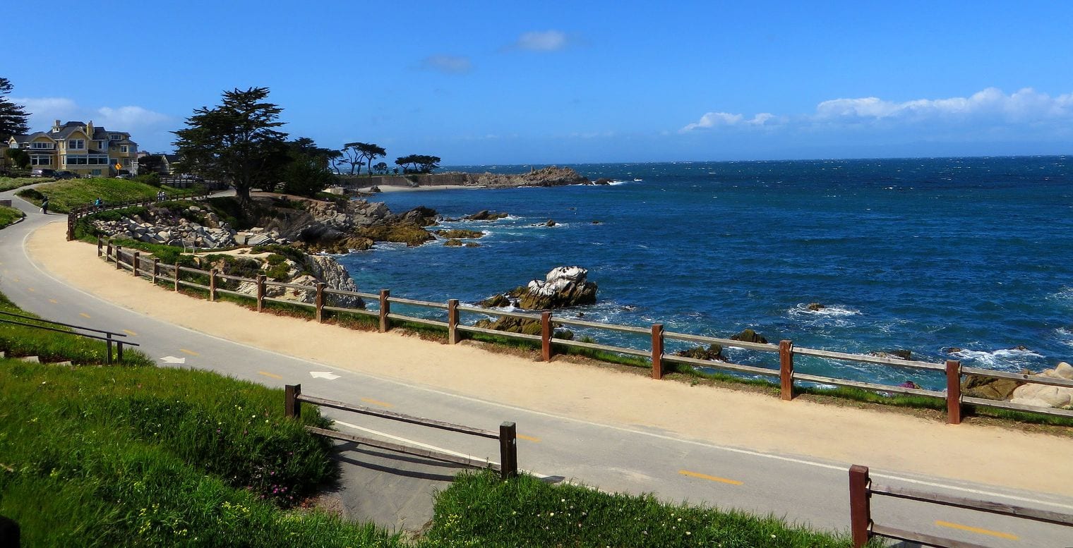
17-Mile Drive is a private scenic loop through Pebble Beach and Pacific Grove on the Monterey Peninsula, with an entrance gate right off Highway 1 between Monterey and Carmel. Most of it hugs the coast, winding past famous golf courses, grand homes and the cypress woods of the Del Monte Forest.
The famous stops are the Lone Cypress, clinging to its granite outcrop above the surf, and Bird Rock, crowded with sea birds and sea lions. Non-residents pay a toll per car at the gate, and the route is marked with a dashed line on the pavement, so it's easy to follow at your own pace before rejoining the highway in Carmel.
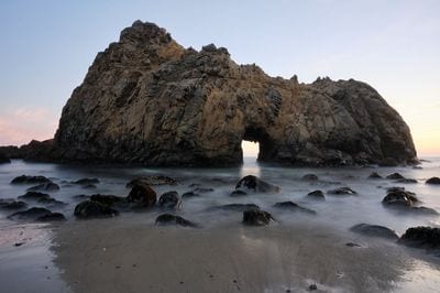
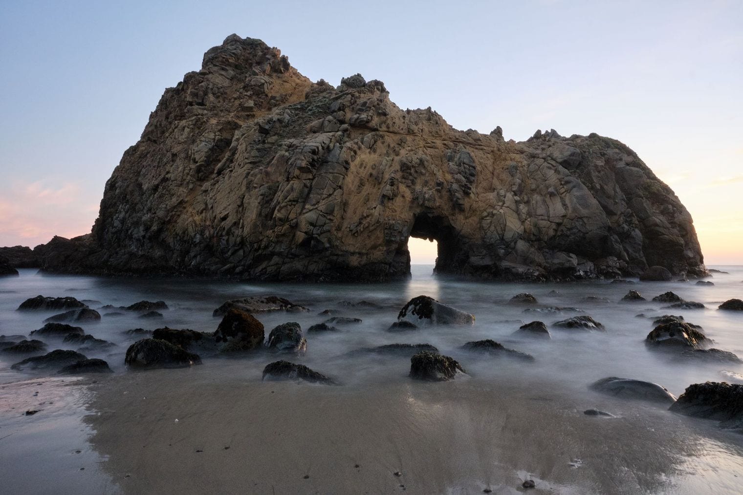
Pfeiffer Beach is Big Sur's most famous stretch of sand, reached by a narrow, winding lane called Sycamore Canyon Road that drops off Highway 1 toward the sea south of the Big Sur valley. It is one of the few places on this steep coast where you can walk down to the water, and it's known for streaks of purple-tinted sand.
The draw is Keyhole Rock, an arch in a sea stack that waves crash through; for a few weeks around the winter solstice the setting sun lines up with the opening and photographers pack the beach. The beach sits in Los Padres National Forest, the lane is not suited to RVs or trailers, and parking is limited, so arrive early.
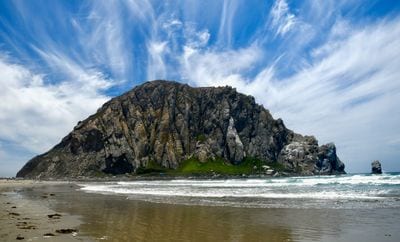
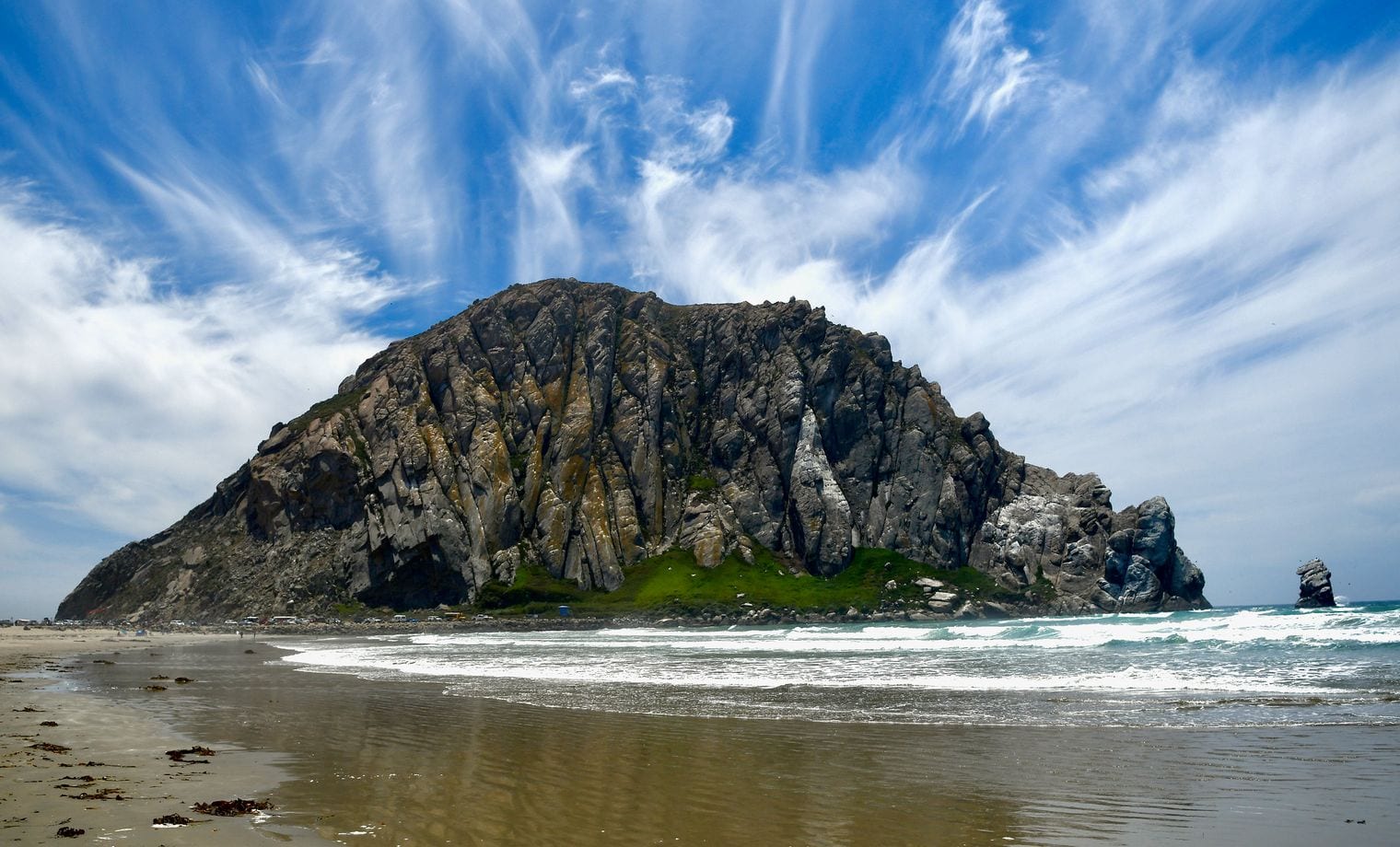
Morro Rock rises from the entrance to Morro Bay harbor, a volcanic plug joined to the shore by a causeway, right where Highway 1 reaches the coast again after its inland run from San Luis Obispo. It is protected as Morro Rock State Preserve, and climbing is off limits because the rock is a nesting site for peregrine falcons.
You can drive or walk to its base, where sea otters often float in the harbor channel, then stroll the Embarcadero waterfront in town. The rock is best seen from the beach to its north at sunset, and it's a short detour from the highway on the way between Hearst Castle and San Luis Obispo.
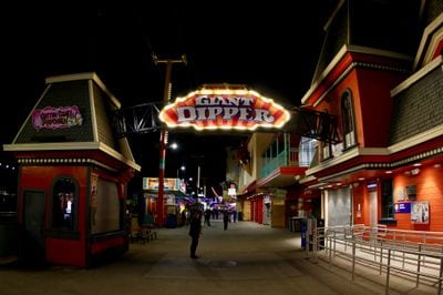
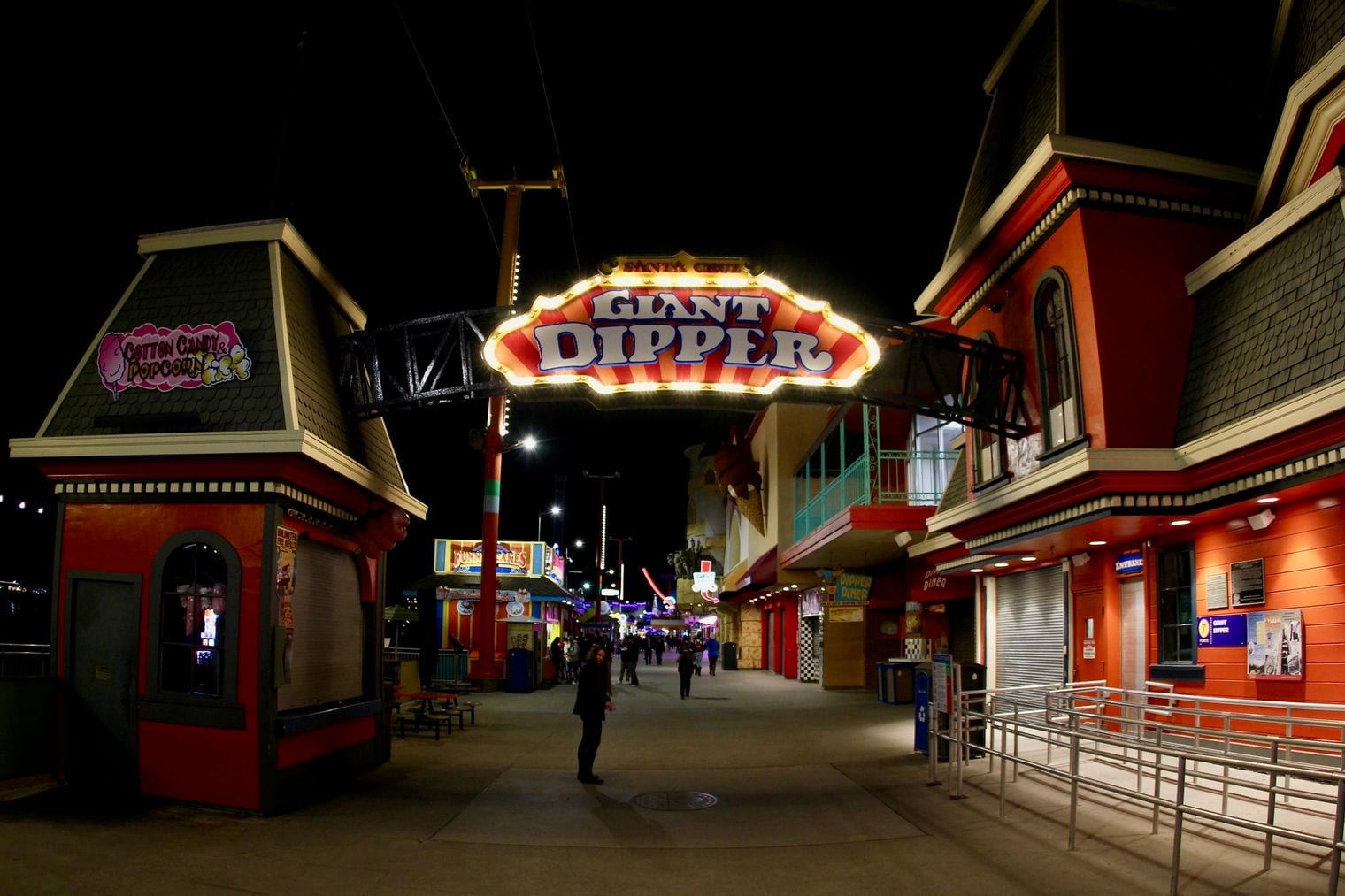
The Santa Cruz Beach Boardwalk spreads along the beach at the northern tip of Monterey Bay, a few minutes off Highway 1 as it passes through Santa Cruz. Founded in 1907, it is California's oldest surviving amusement park and one of the few seaside amusement parks left on the West Coast.
The wooden Giant Dipper roller coaster and the vintage carousel are the classics, surrounded by arcades, rides and snack stands right on the sand. Entry to the boardwalk itself is free; you pay only for the rides. Pair it with a walk out on the Santa Cruz Wharf or a sunset at West Cliff Drive, which leads toward Natural Bridges State Beach.
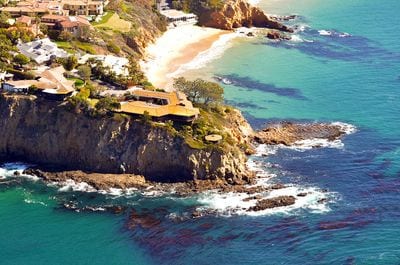
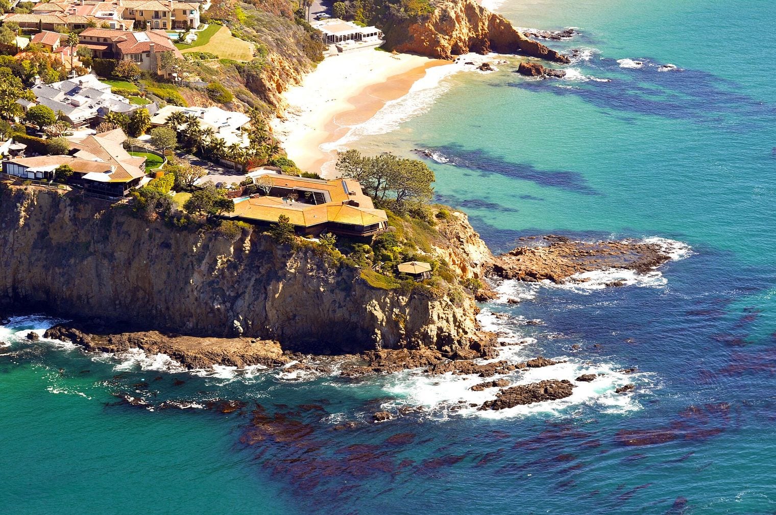
Laguna Beach is the prettiest town on Orange County's stretch of the Pacific Coast Highway, a longtime art colony tucked into coves and canyons between Newport Beach and Dana Point. Its coastline is protected by marine reserves, which is why its tide pools and snorkeling are so good.
Start at Main Beach in the middle of town, then walk the clifftop paths of Heisler Park above rocky coves. Farther south, Thousand Steps Beach sits at the bottom of a long staircase, and Victoria Beach hides a stone tower built into the cliff. Galleries and small shops fill the streets just back from the sand.
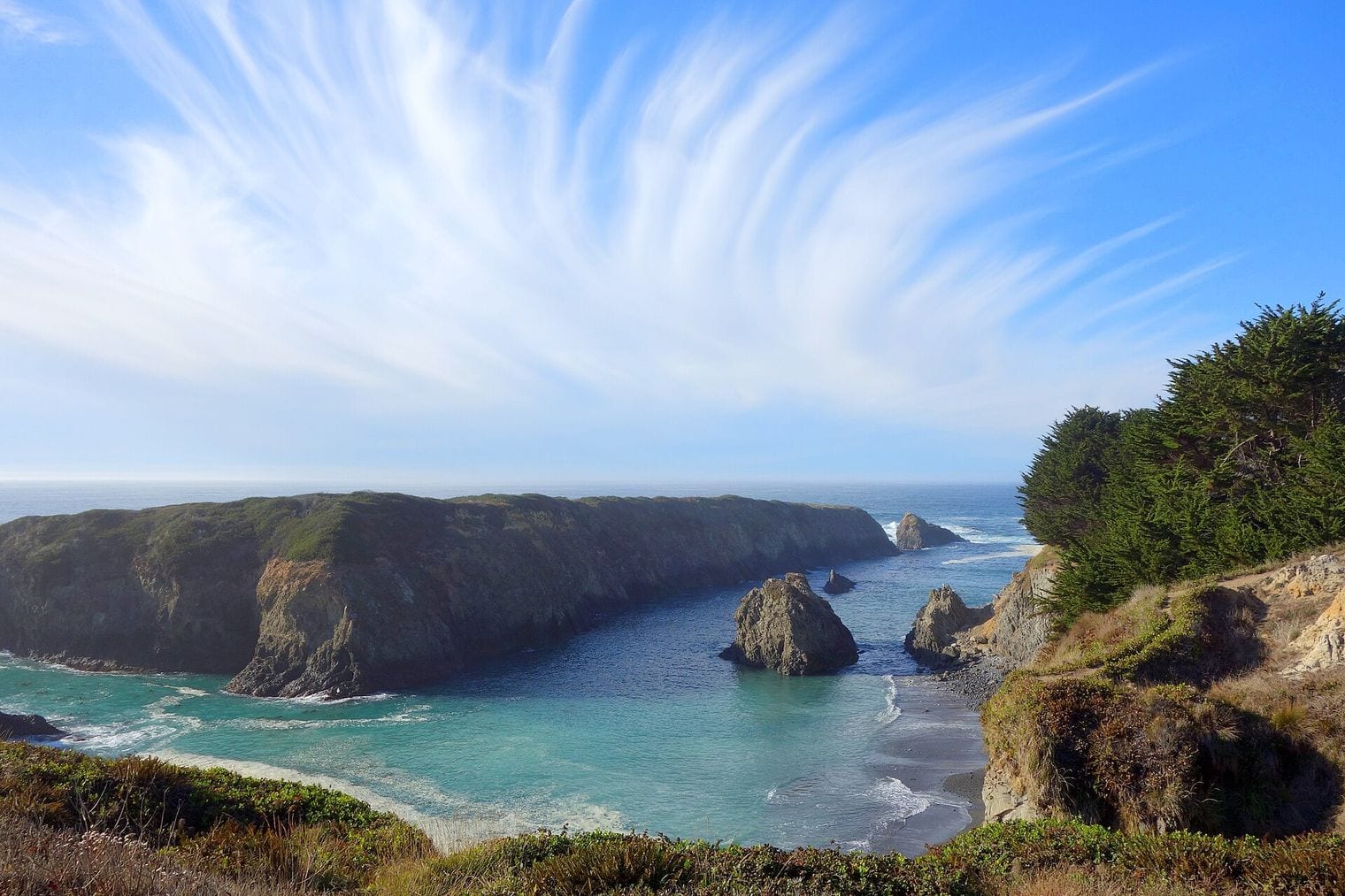
Mendocino Headlands State Park wraps the town of Mendocino in about 347 acres of wild bluffs, sea stacks and islets, right beside Highway 1 on the Mendocino Coast north of Point Arena. Created in the 1970s to keep the bluffs free of development, it means the town's clapboard houses and water towers stand directly above the surf.
Footpaths trace the edge of the headlands past blowholes, arches and hidden coves, with Big River Beach and Portuguese Beach below. Walk out at sunset, when the fog often lifts, then wander back into the historic village for its galleries and bakeries. It is one of the most rewarding free stops on the northern coast.
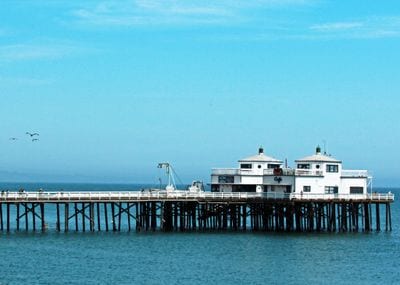
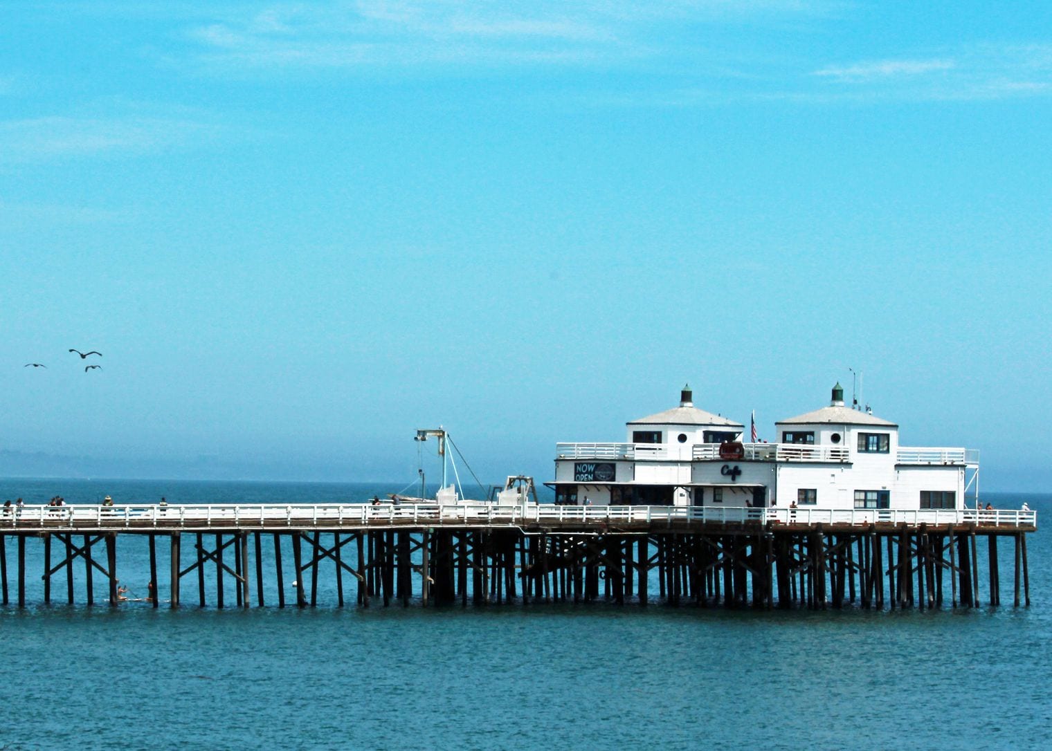
Malibu Pier reaches out from the sand in the middle of Malibu, right beside the Pacific Coast Highway. First built in 1905, it overlooks Surfrider Beach, where long, peeling waves draw surfers, and the view back to the Santa Monica Mountains is pure Southern California.
Stroll the planks to watch the surfers, or fish from the rail. Structural repairs have kept the far end of the pier closed for long stretches, so check California State Parks' notices before you plan to walk all the way out. Malibu Lagoon State Beach, next door, adds a birding walk to the stop.
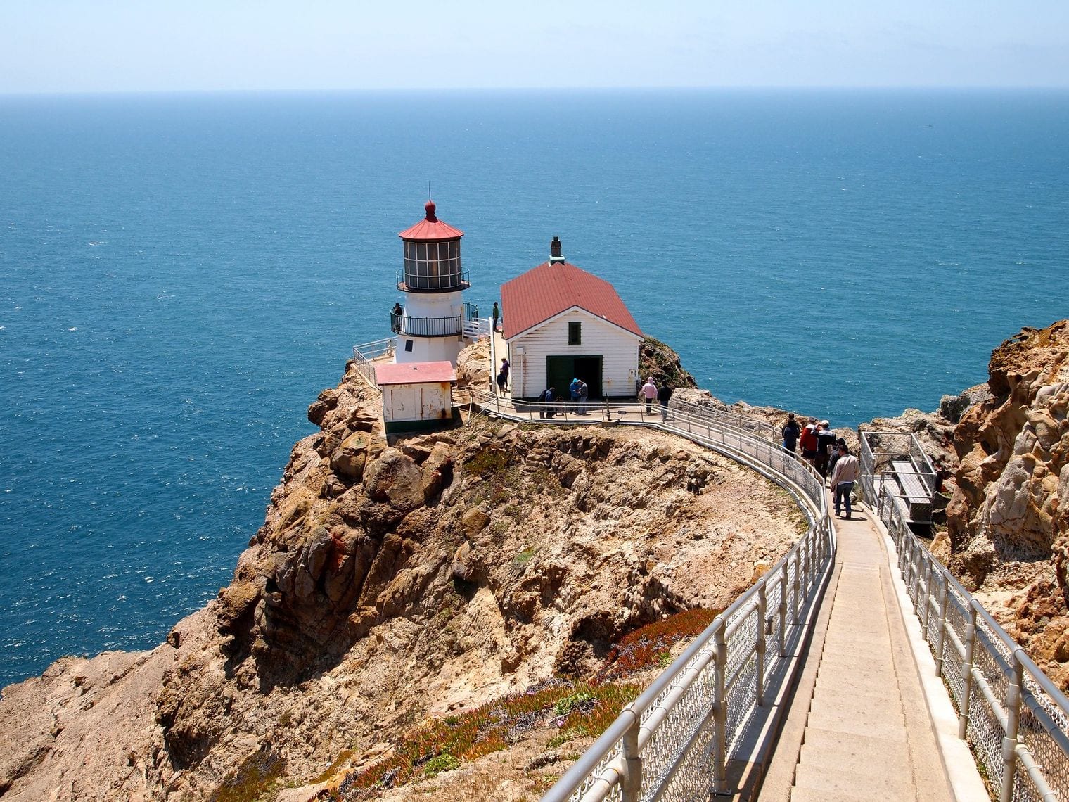
Point Reyes National Seashore covers more than 71,000 acres of Marin County peninsula, with the Bear Valley Visitor Center just off Highway 1 near Olema, about an hour north of the Golden Gate. No other US national park south of Alaska hosts breeding elk and breeding elephant seals, and about half the seashore is protected as wilderness.
The Point Reyes Lighthouse is the headline, but budget time: it sits about 20 miles off the highway, roughly a 45-minute drive, and 313 steps lead down to it. On the way, stop at the Cypress Tree Tunnel, and on another day hike out to Tomales Point, where tule elk roam the grasslands above the ocean.
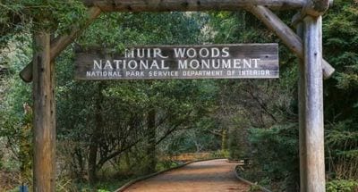
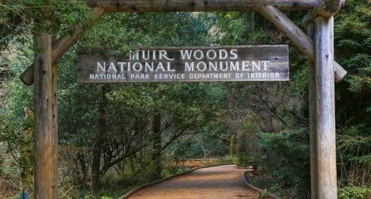
Muir Woods National Monument protects a stand of old-growth coast redwoods in a canyon on Mount Tamalpais, about 12 miles north of San Francisco and a winding detour inland from Highway 1. Named for naturalist John Muir and part of the Golden Gate National Recreation Area, it is one of the few old-growth redwood groves left in the Bay Area.
A flat boardwalk loop along Redwood Creek suits every age, while longer trails climb the canyon walls into quieter forest. Parking or shuttle reservations must be made in advance, so book before you set off. Come early in the morning for the stillest, least crowded walk under the giants.
Half Moon Bay is the main town on the San Mateo coast, about 25 miles south of San Francisco on Highway 1, named for the crescent shape of its shoreline. Just north of town, Pillar Point Harbor looks out toward Mavericks, the big-wave surf break that comes alive in big winter swells.
Walk the bluffs at Poplar Beach, where a coastal trail runs above the sand, and head north to the Fitzgerald Marine Reserve at Moss Beach for some of the best tide pooling around San Francisco at low tide. Farm stands and pumpkin patches fill the fields around town in fall, and the old Main Street is made for a coffee stop.
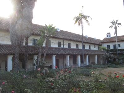
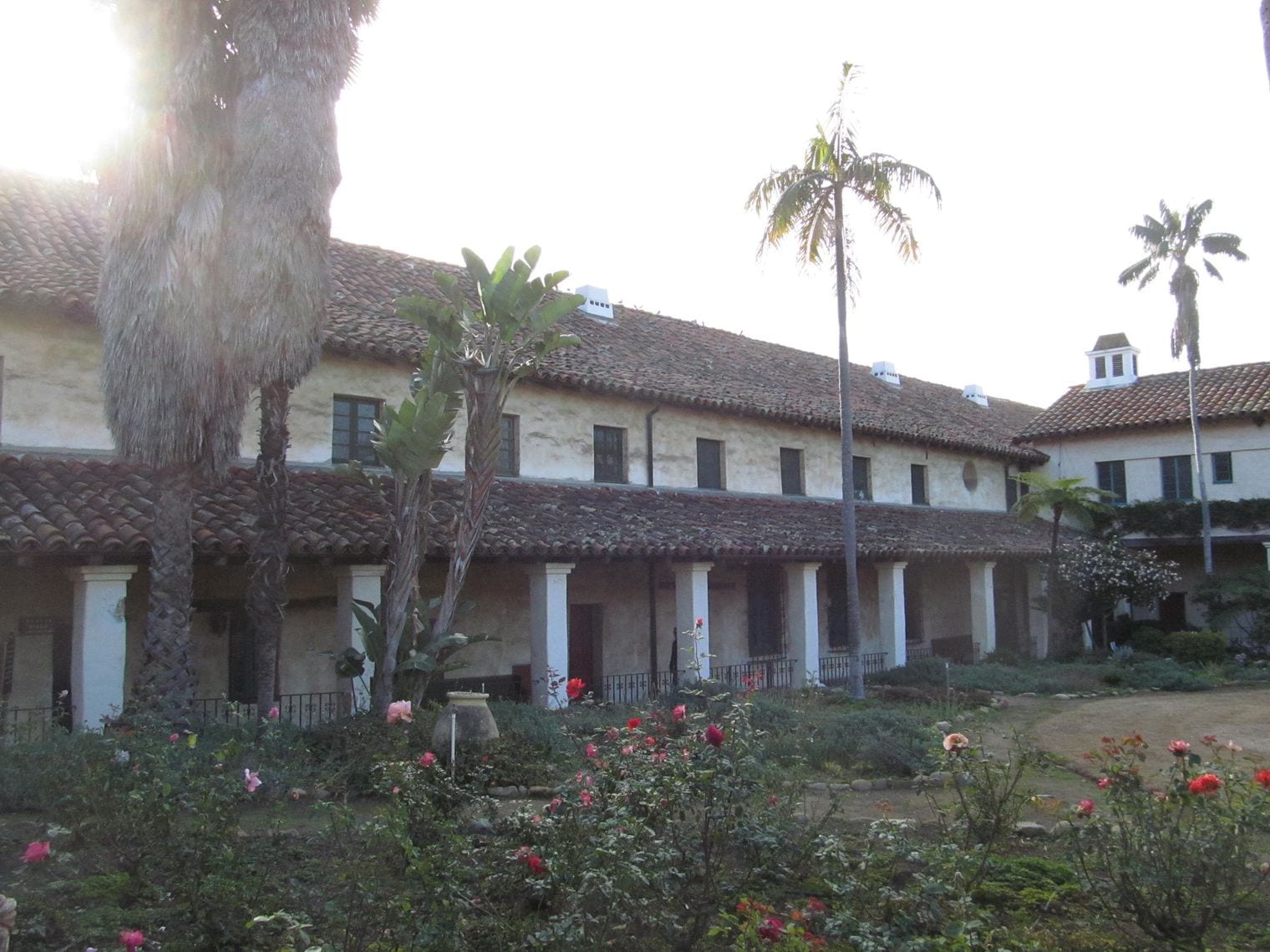
Old Mission Santa Barbara, often called the Queen of the Missions, looks out over the city from its hillside above the coast where Highway 1 and US 101 run together. It was founded in 1786 by the Franciscans as the tenth of California's 21 Spanish missions, and its twin bell towers and classical facade are among the most photographed in the state.
Self-guided tours take in the church, the museum rooms, the cemetery and the gardens, with the story of the Chumash people who lived and labored at the mission. Afterward, the rose garden across the road frames the facade beautifully, and it's a short drive back to the waterfront.
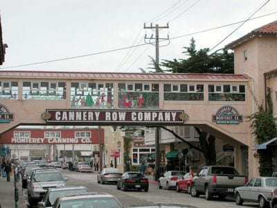
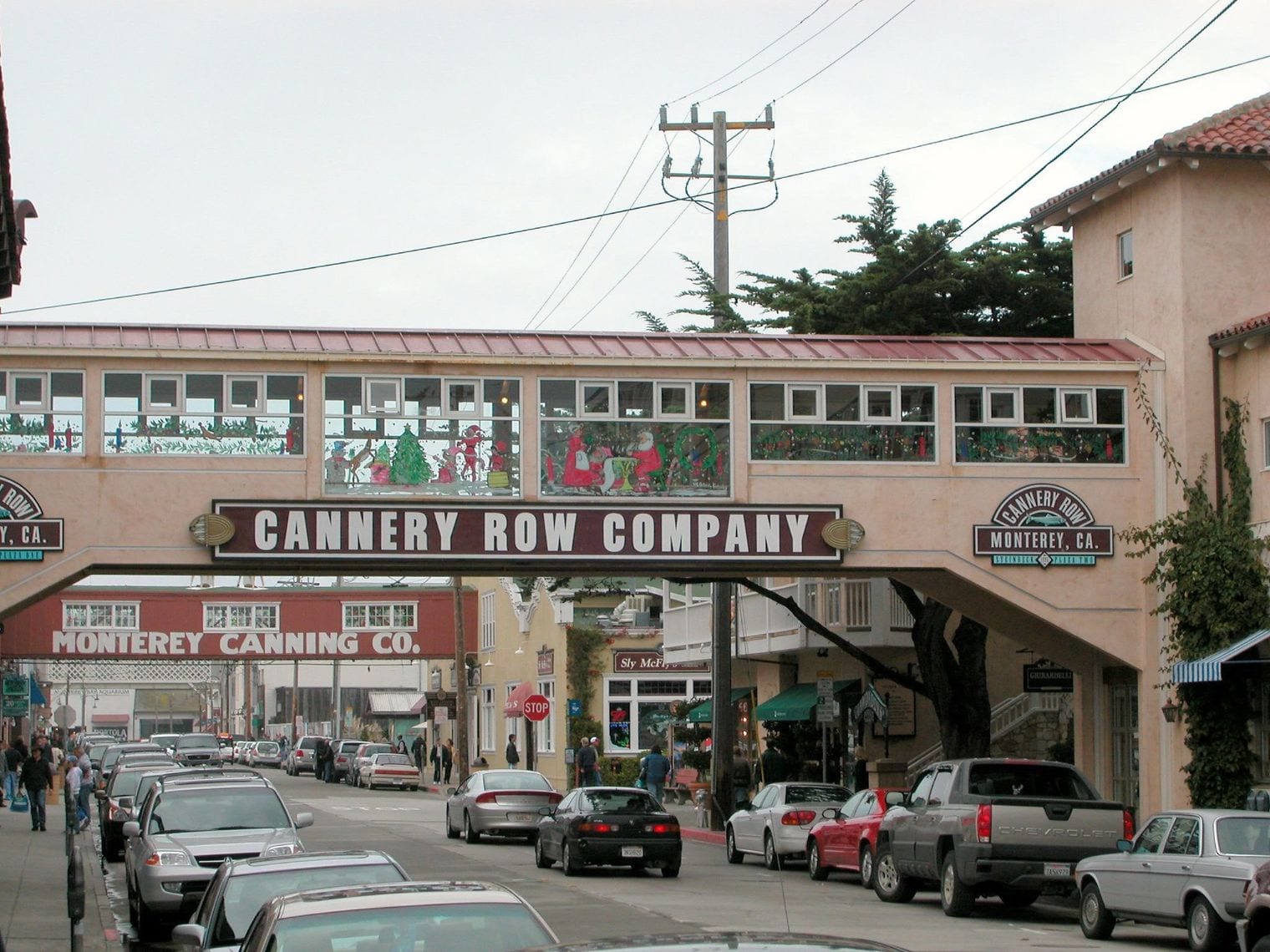
Cannery Row is the historic waterfront street in Monterey where more than 30 canneries and reduction plants once processed the bay's sardine catch, a short detour from Highway 1 on the southern shore of Monterey Bay. Originally Ocean View Avenue, it was officially renamed in 1958 after John Steinbeck's 1945 novel made it famous.
The old cannery buildings now hold shops, restaurants and wine-tasting rooms, and the Monterey Bay Aquarium anchors the western end of the street. Walk the coastal recreation trail that runs behind it toward Pacific Grove, watching for sea otters and harbor seals in the kelp beds just offshore.
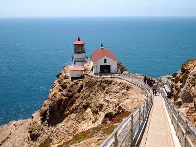
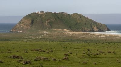
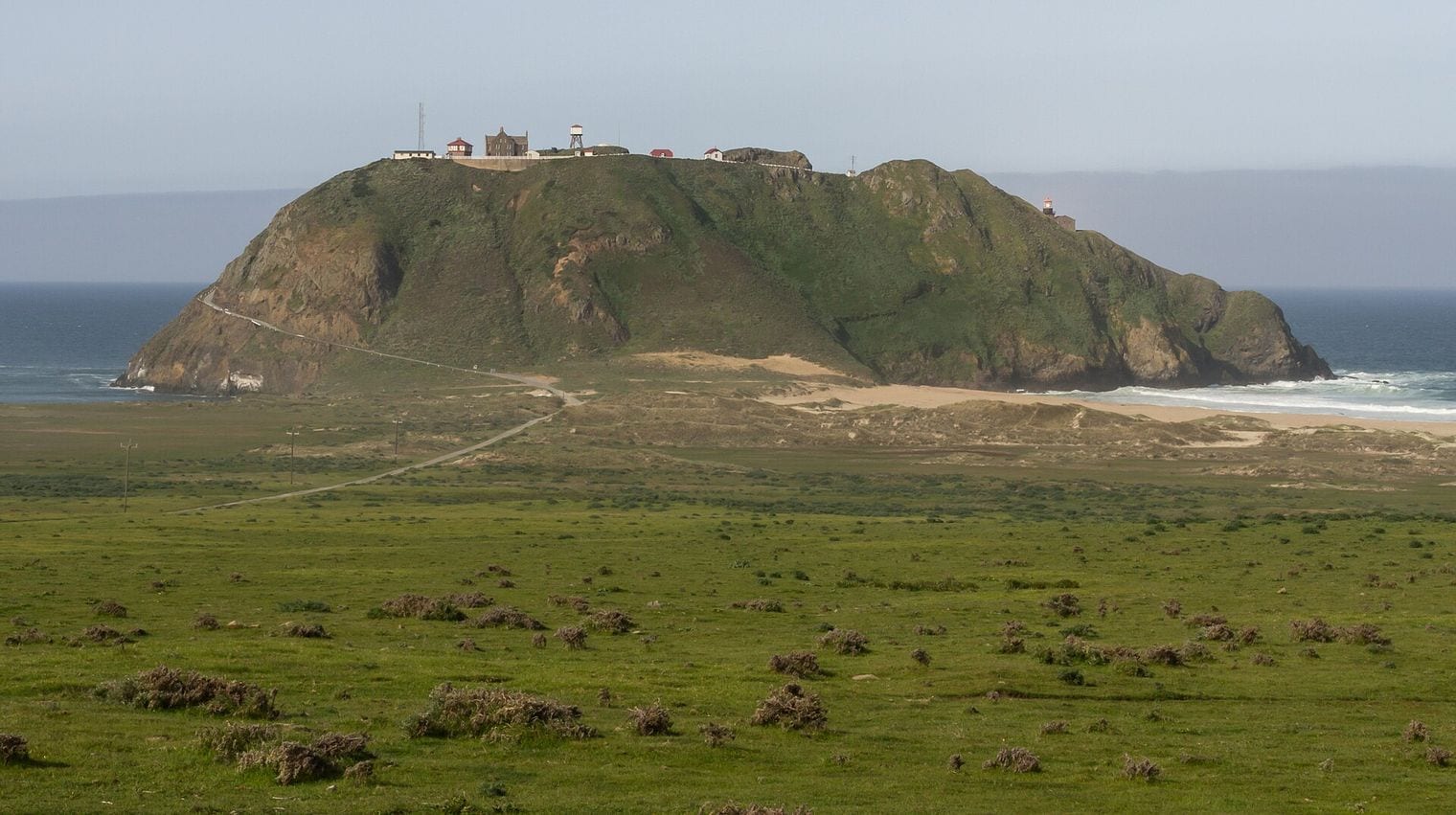
Point Sur Lighthouse sits on top of a 361-foot rock that stands alone off Highway 1, about 19 miles south of Carmel on the Big Sur coast. First lit in 1889 and still an active aid to navigation, it is the centerpiece of Point Sur State Historic Park, with its stone keepers' buildings perched on the summit.
The station can only be visited on docent-led walking tours, which meet at a farm gate on the west side of Highway 1 and run on a limited schedule, first come first served, so check the park's calendar before you drive. Even without a tour, the rock is a striking sight from the highway pull-outs to the north.
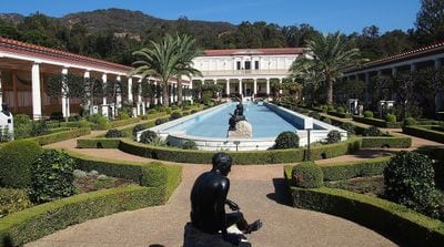
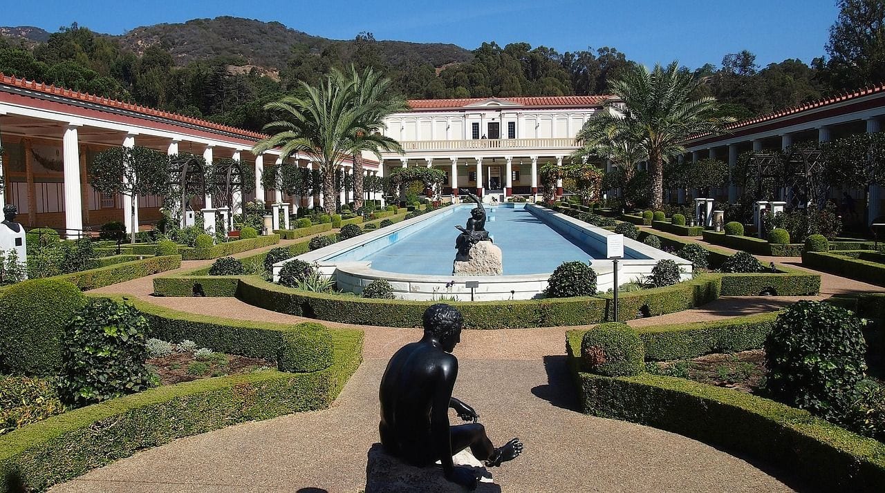
The Getty Villa sits in a canyon above the Pacific Coast Highway at the eastern end of the Malibu coast, in the Pacific Palisades. One of the two campuses of the J. Paul Getty Museum, it is devoted to the art of ancient Greece, Rome and Etruria, with a collection of some 44,000 antiquities.
The building is modeled on an ancient Roman country house, the Villa dei Papiri at Herculaneum, and its long reflecting pool and herb garden are as much the attraction as the galleries. Admission is free but requires a timed reservation, so book before you go.
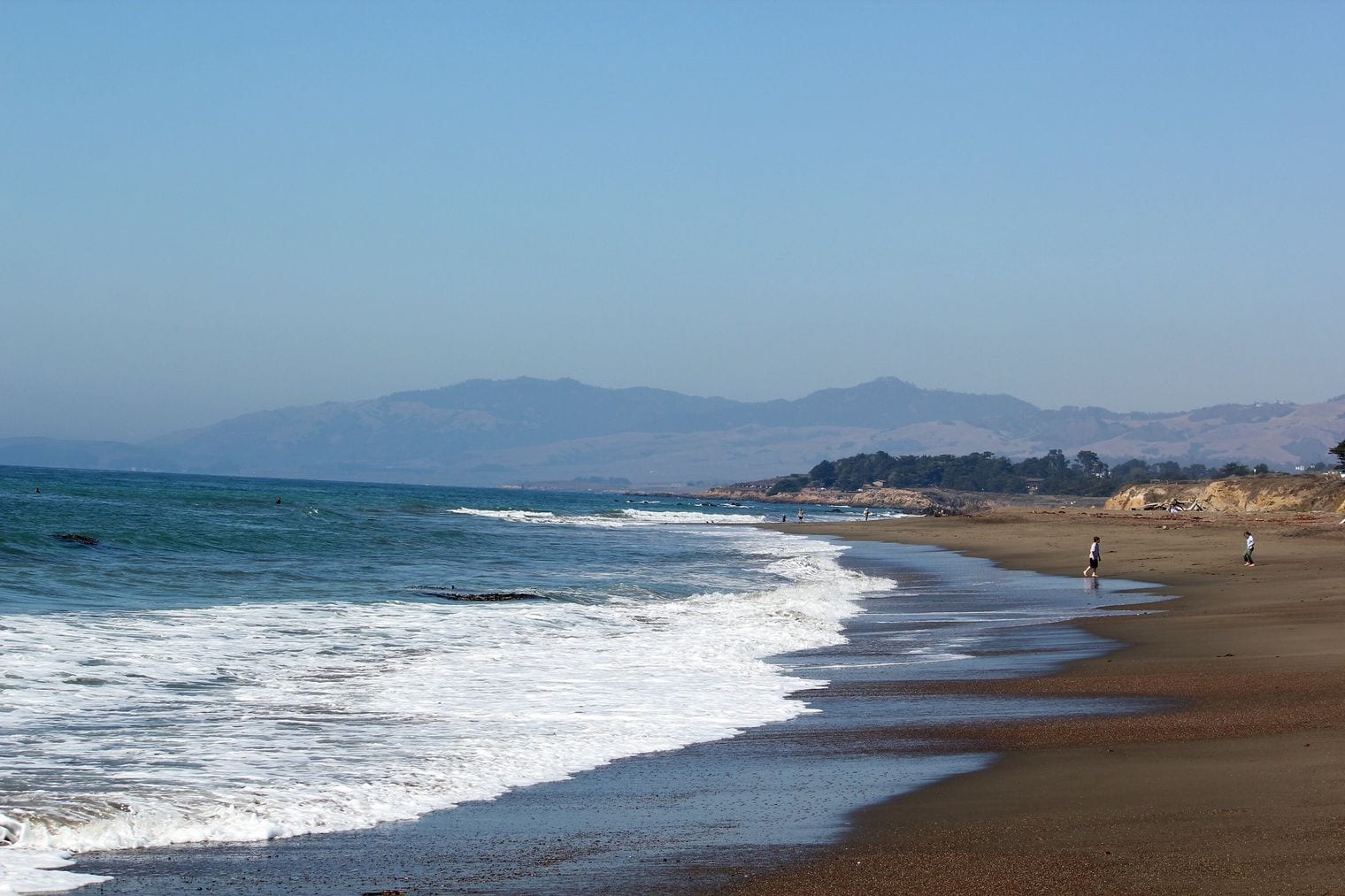
Moonstone Beach runs along the western edge of Cambria, just off Highway 1 on the San Luis Obispo County coast, a short drive south of Hearst Castle. It is named for the translucent agates that turn up among its pebbles, and it's part of the state parklands of Hearst San Simeon State Park.
A wooden boardwalk follows the bluff for about a mile from Leffingwell Landing to Santa Rosa Creek, with benches overlooking the surf, sea otters in the kelp and, in season, passing whales. Afterward, head inland to Cambria's East and West villages for galleries, bakeries and a slower pace than the big towns farther south.
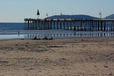
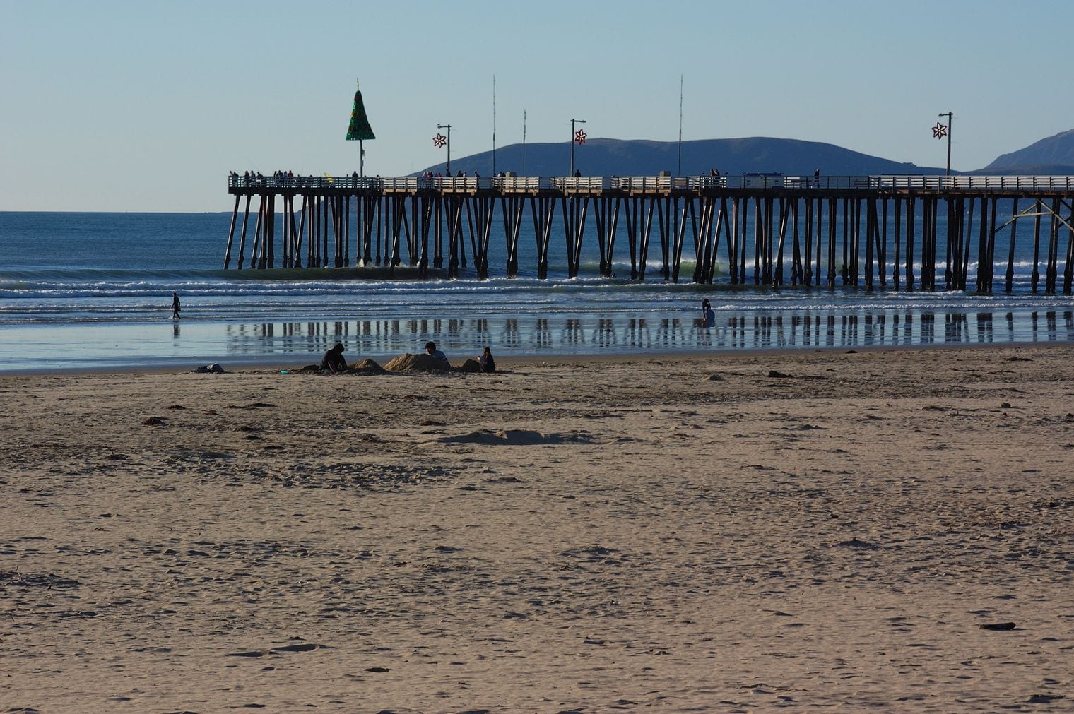
Pismo Beach is a classic California beach town on the San Luis Obispo County coast, where Highway 1 leaves US 101 and heads south toward the dunes. Its long, wide beach and wooden pier, first built in 1924 and renovated in 2018, are the heart of town, with surfers in the water and casual shops on the streets behind the sand.
From roughly November to February, the monarch butterfly grove at Pismo State Beach fills with clusters of wintering butterflies hanging from the eucalyptus trees. Watch the sunset from the pier, then carry on south through Oceano and Guadalupe.
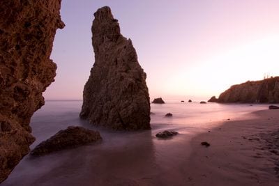
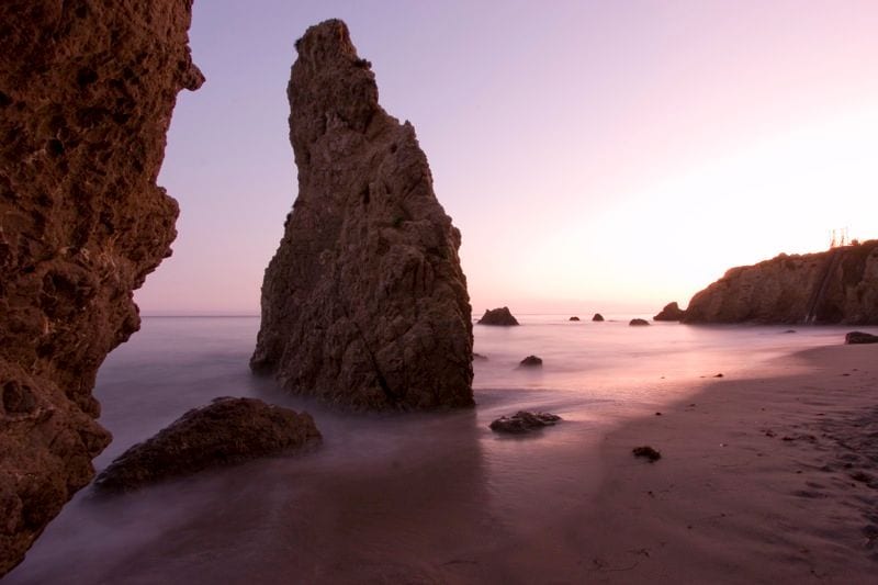
El Matador State Beach is a small cove below the bluffs of northern Malibu, reached by a steep trail and stairs from a small parking area beside the Pacific Coast Highway. It is part of Robert H. Meyer Memorial State Beach, and its sea stacks, arches and caves make it a favorite with photographers.
Come at low tide to explore between the rocks, and at golden hour for the light on the sea stacks. The parking lot is small and fills quickly on weekends, and the beach narrows at high tide, so check the tide chart first and bring shoes that can handle the climb back up.
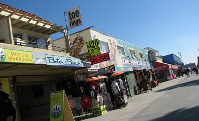
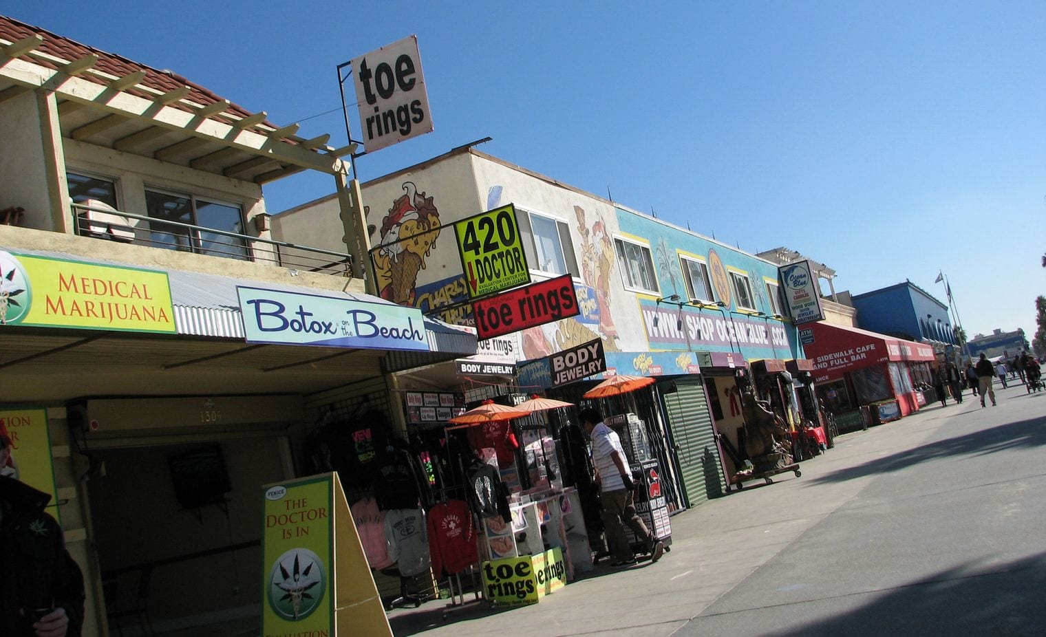
The Venice Beach Boardwalk, formally Ocean Front Walk, is a two-and-a-half-mile promenade of street performers, fortune-tellers, vendors and people-watching in the Venice neighborhood of Los Angeles, a short hop west of the Pacific Coast Highway. Developer Abbot Kinney founded Venice as a seaside resort in 1905.
Watch the skaters at the concrete skate park and the lifters at Muscle Beach, then leave the beach behind for the quieter Venice Canals a few blocks inland, where footbridges cross the water between colorful homes. It is free, lively and best on a weekend morning before the crowds get too thick.
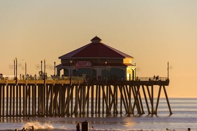
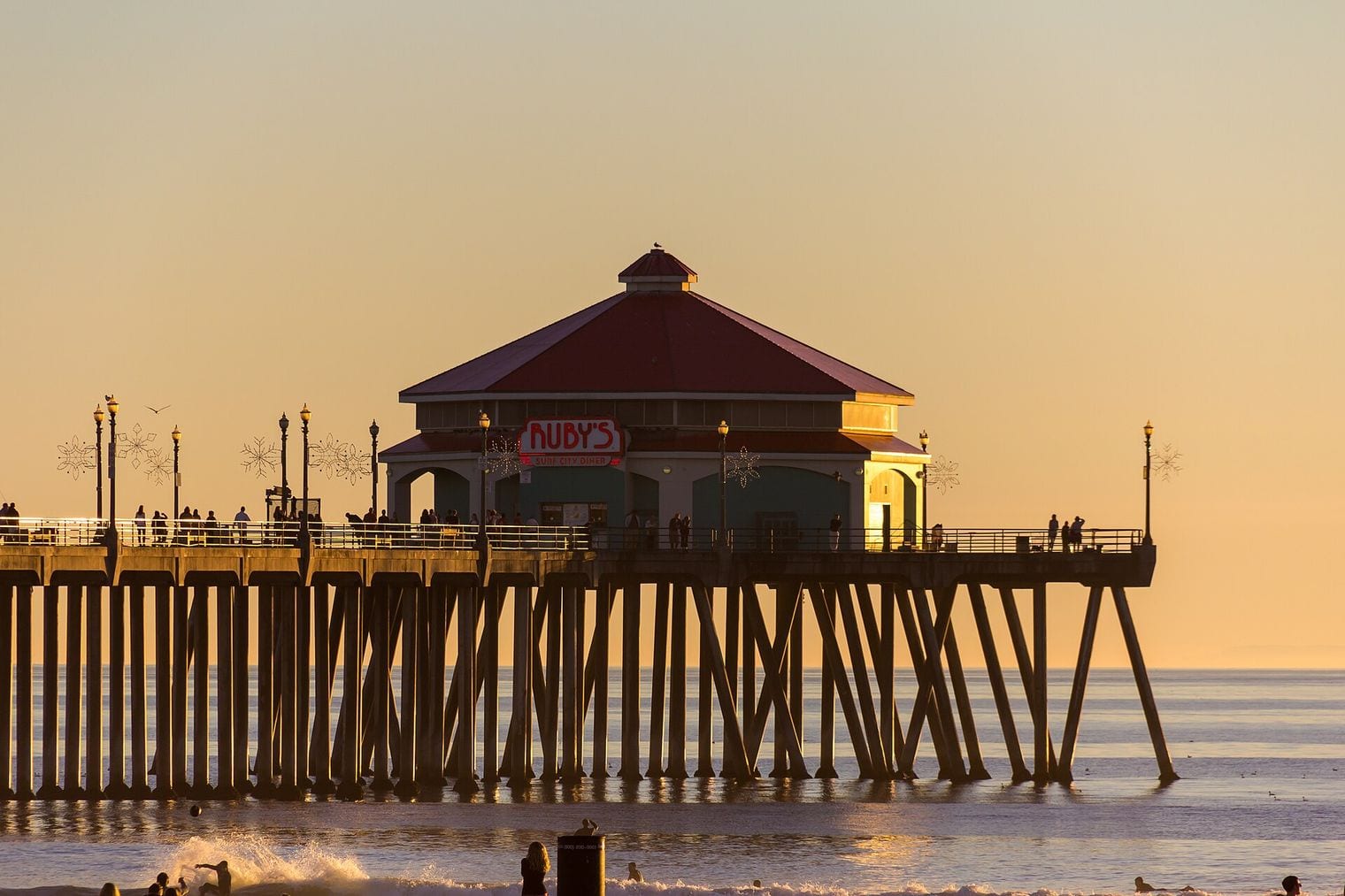
Huntington Beach Pier runs 1,850 feet into the Pacific from the end of Main Street, right beside the Pacific Coast Highway in the town that calls itself Surf City USA. It is one of the longest public piers on the West Coast, and it's listed on the National Register of Historic Places.
Walk out over the lineup to watch surfers riding the waves on both sides, then wander Main Street's surf shops. The wide beaches north and south of the pier are ideal for a long walk, a bike ride on the beachfront path or a bonfire at dusk in the designated fire rings.
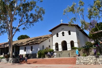
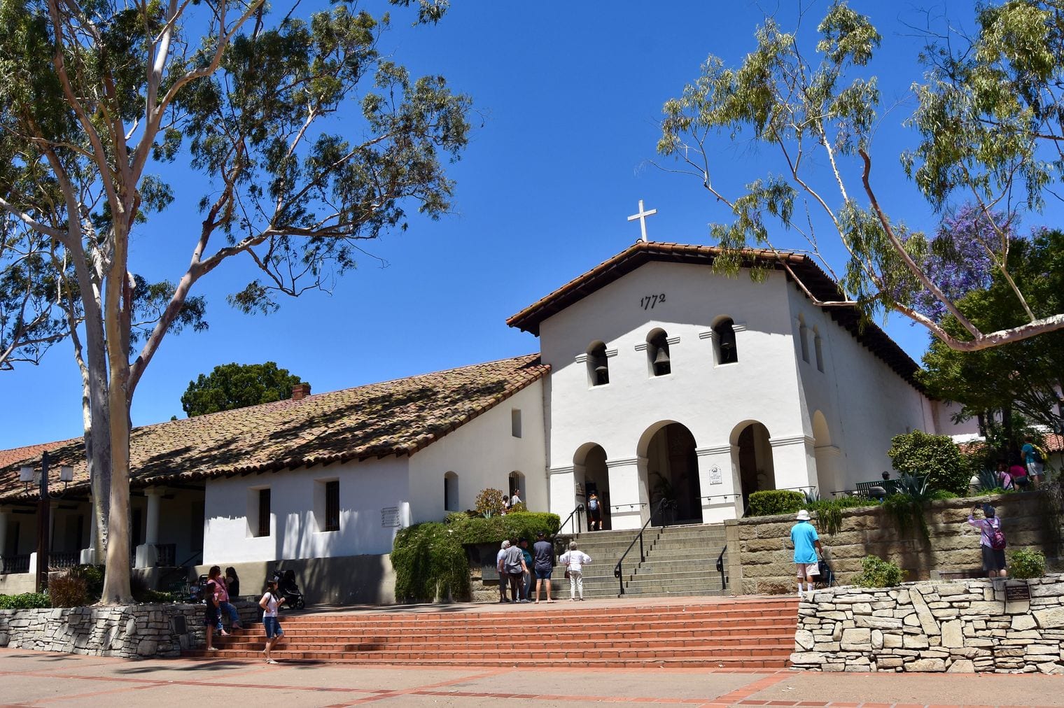
San Luis Obispo is a lively college town where Highway 1 and US 101 meet, roughly halfway between San Francisco and Los Angeles; from here the coast route heads northwest to Morro Bay and Big Sur. The town grew around Mission San Luis Obispo de Tolosa, founded in 1772 by Junípero Serra, which still anchors the plaza beside San Luis Creek.
See the mission, then walk the creekside Mission Plaza and the downtown streets around it, including Bubblegum Alley, whose walls are plastered with decades of chewed gum. Vineyards spread across the surrounding valleys, and the town makes a handy overnight stop between Big Sur and Santa Barbara.
Lands End is the wild northwestern corner of San Francisco, a cliffside park within the Golden Gate National Recreation Area where the city meets the mouth of the Golden Gate. It lies a few minutes west of where Highway 1 crosses the city on its way to the bridge.
The Lands End Trail follows the old railbed of a line that once carried visitors along the cliffs, with cypress-framed views of the Golden Gate Bridge, the Marin Headlands and the ships passing below. Side trails lead down to hidden beaches and to the ruins of the Sutro Baths, the concrete shell of a grand bathhouse above the surf.
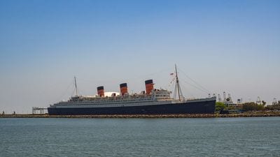
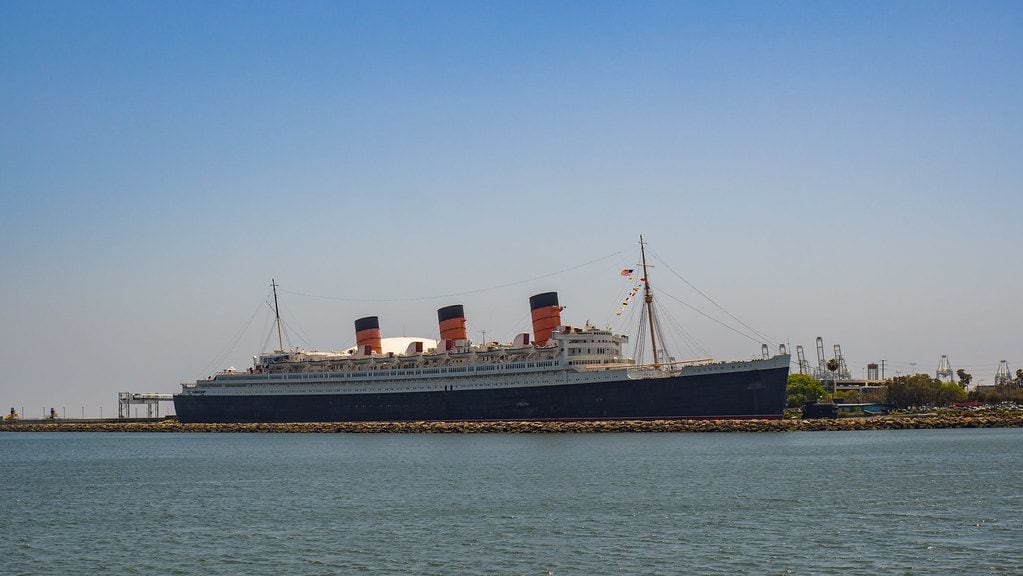
The Queen Mary is a former Cunard ocean liner that sailed the North Atlantic from 1936 to 1967 and is now permanently moored in Long Beach, a short drive south of the Pacific Coast Highway's route through the city. Built in Scotland, it is listed on the National Register of Historic Places.
Today the ship is a hotel, museum and attraction, and self-guided and guided tours take in the Art Deco interiors and the decks, with views across the harbor to the Long Beach skyline. The Aquarium of the Pacific is directly across the water, so the two pair easily.
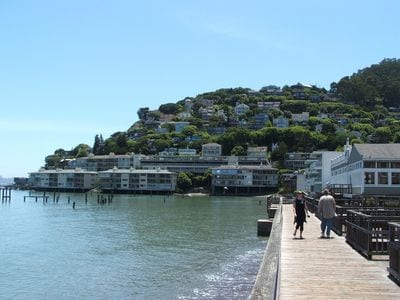
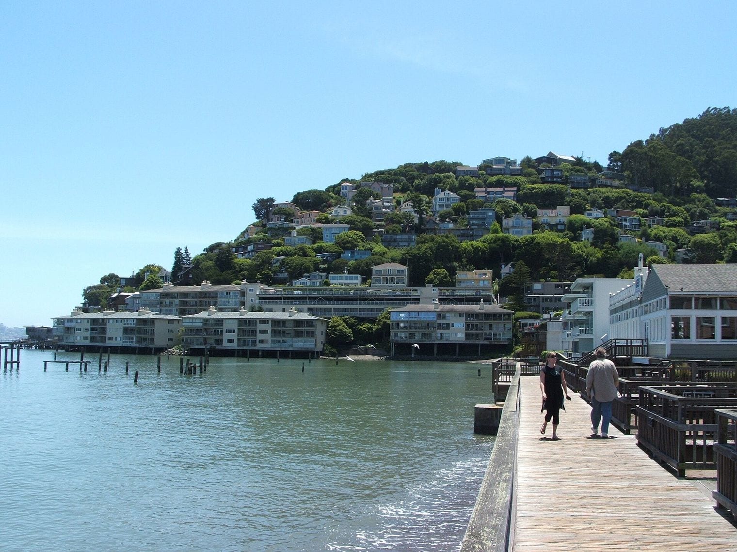
Sausalito is the waterfront town just north of the Golden Gate Bridge, about 4 miles from San Francisco on the stretch where Highway 1 and US 101 run together through southern Marin. Once a shipbuilding center, it is now known for its hillside homes, art galleries and a large community of houseboats.
Stroll the bayside promenade along Bridgeway for views back across the water to the city, then walk out to the colorful houseboat docks at the north end of town. Many visitors arrive by ferry from San Francisco, but it's also an easy first stop after crossing the bridge, before the road climbs toward Muir Woods and Stinson Beach.
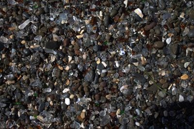
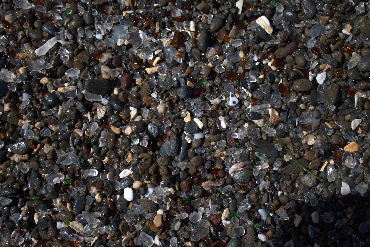
Glass Beach lies on the northern edge of Fort Bragg on the Mendocino Coast, beside MacKerricher State Park and just off Highway 1. For decades the town dumped its garbage along this shore, and the waves have ground the old bottles and tableware into smooth sea glass that glints among the pebbles.
Walk the coastal trail above the coves and scramble down at low tide to see the glass up close; the best patches are in the small coves rather than on the open shore. Please leave the glass where you find it so others can enjoy it too. The Skunk Train depot and the rest of Fort Bragg are a few minutes south.
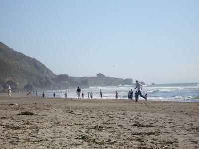
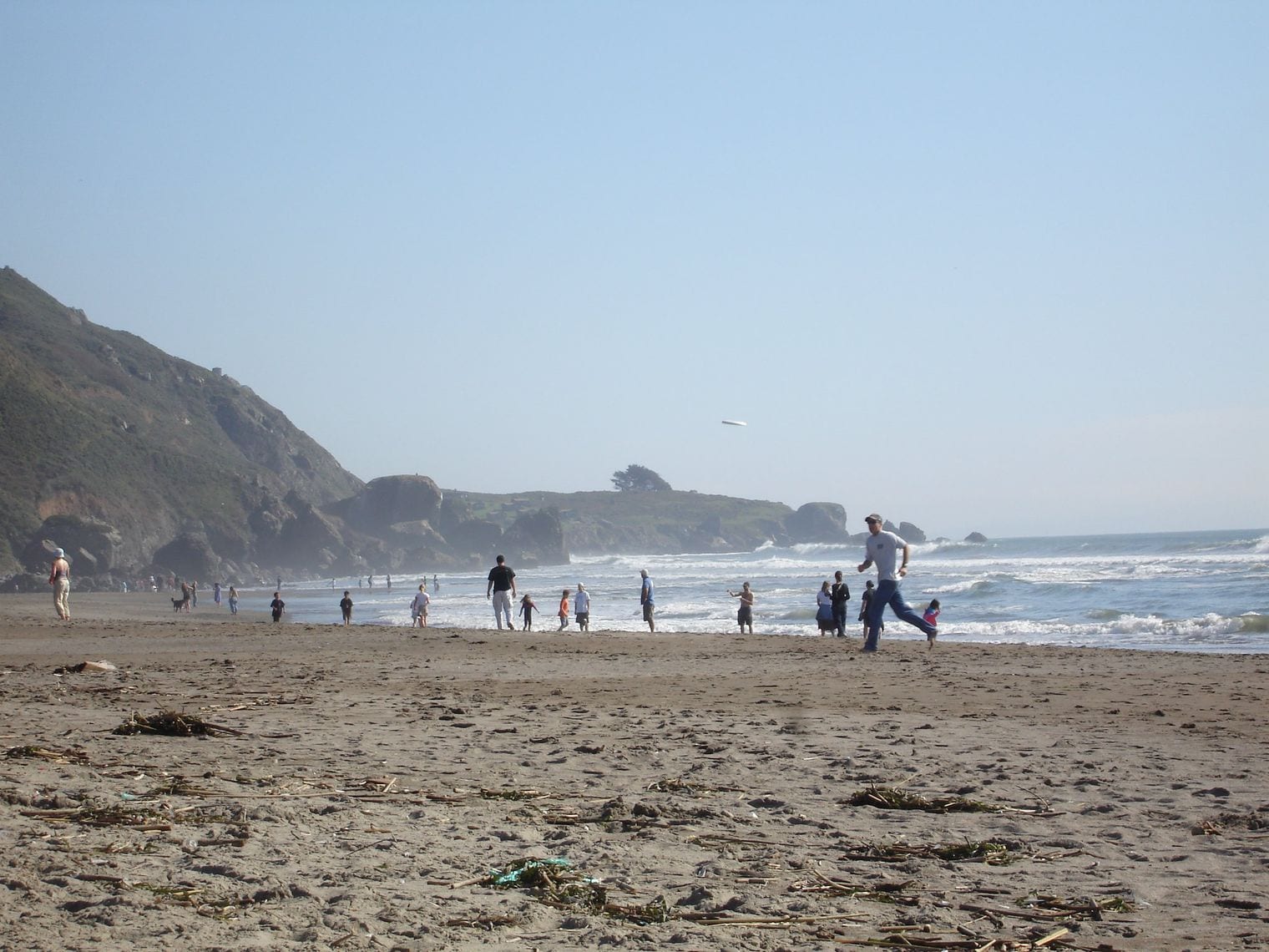
Stinson Beach is the long, sandy beach and small village about 35 minutes north of the Golden Gate Bridge on Highway 1's twisting Shoreline Highway, below the slopes of Mount Tamalpais. The beach sits at the mouth of Bolinas Lagoon, and on a clear day it is one of the best places near San Francisco to spend an afternoon on the sand.
The drive in, with its hairpin bends high above the ocean, is part of the experience. Once there, swim or walk the beach, look for harbor seals and shorebirds on the lagoon, or hike up into the Mount Tamalpais trails from town. The village has cafes and a relaxed, beach-town feel.
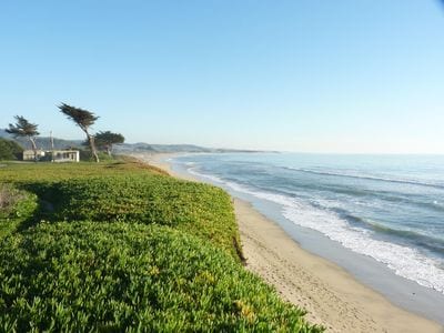
Ragged Point is a headland at the southern end of Big Sur, in northern San Luis Obispo County, where Highway 1 climbs back onto the cliffs after the open coast around San Simeon. For drivers heading north it is the gateway to Big Sur, and for those heading south it's the last big cliff-top view before the road flattens out.
Walk the short paths to the viewpoint for a sweeping look up the Big Sur coast, with the highway threading along the cliffs to the north. Facilities cluster at the point, and it makes a natural break to stretch your legs after the long, winding drive from Monterey.
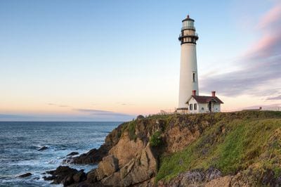
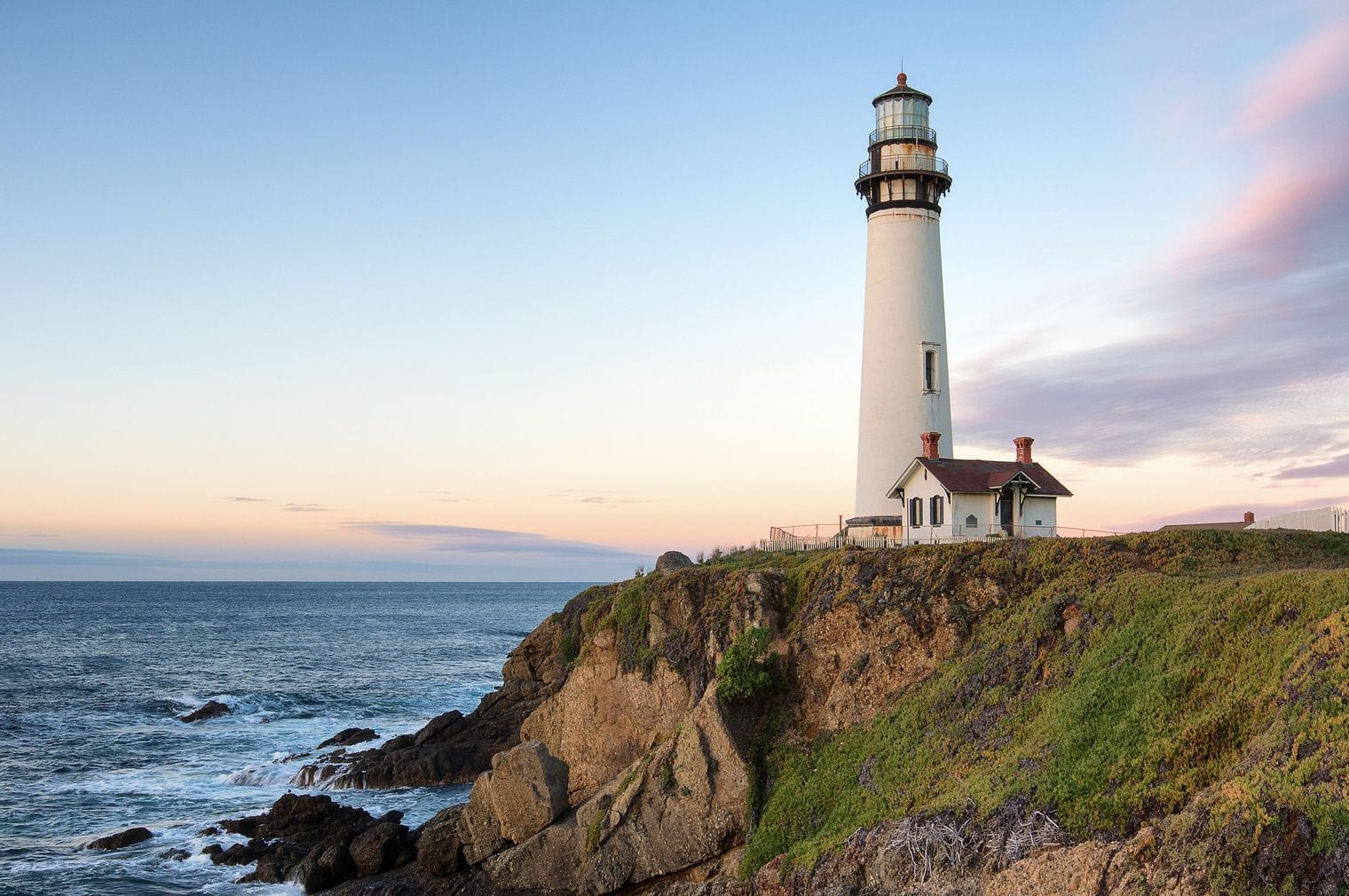
Pigeon Point Light Station stands beside Highway 1 about 5 miles south of Pescadero on the San Mateo coast, between Half Moon Bay and Santa Cruz. Built in 1871, its 115-foot white masonry tower shares the title of tallest lighthouse on the West Coast with Point Arena Light farther north.
The tower itself is closed while it undergoes restoration, but you can walk the grounds and the bluff-top boardwalk, look for whales offshore, and visit the fog signal building, which displays the station's original Fresnel lens. The views up and down this empty stretch of coast make it one of the most photogenic lighthouses in California.
Año Nuevo State Park protects a major elephant seal breeding colony on a windswept point beside Highway 1 about 55 miles south of San Francisco. The park also marks the coastal midpoint of California, and its island and point hold rookeries for seals and sea lions, backed by dunes, marshes and forest.
During the winter breeding season, the seals can only be seen on ranger-guided walks that must be booked in advance; the rest of the year, a free permit from the park lets you hike out to the viewing areas on your own. The walk is about 3 to 4 miles round-trip over sand dunes, so allow a few hours.
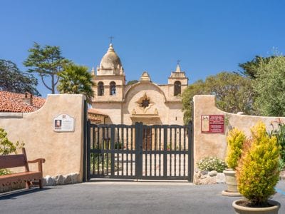
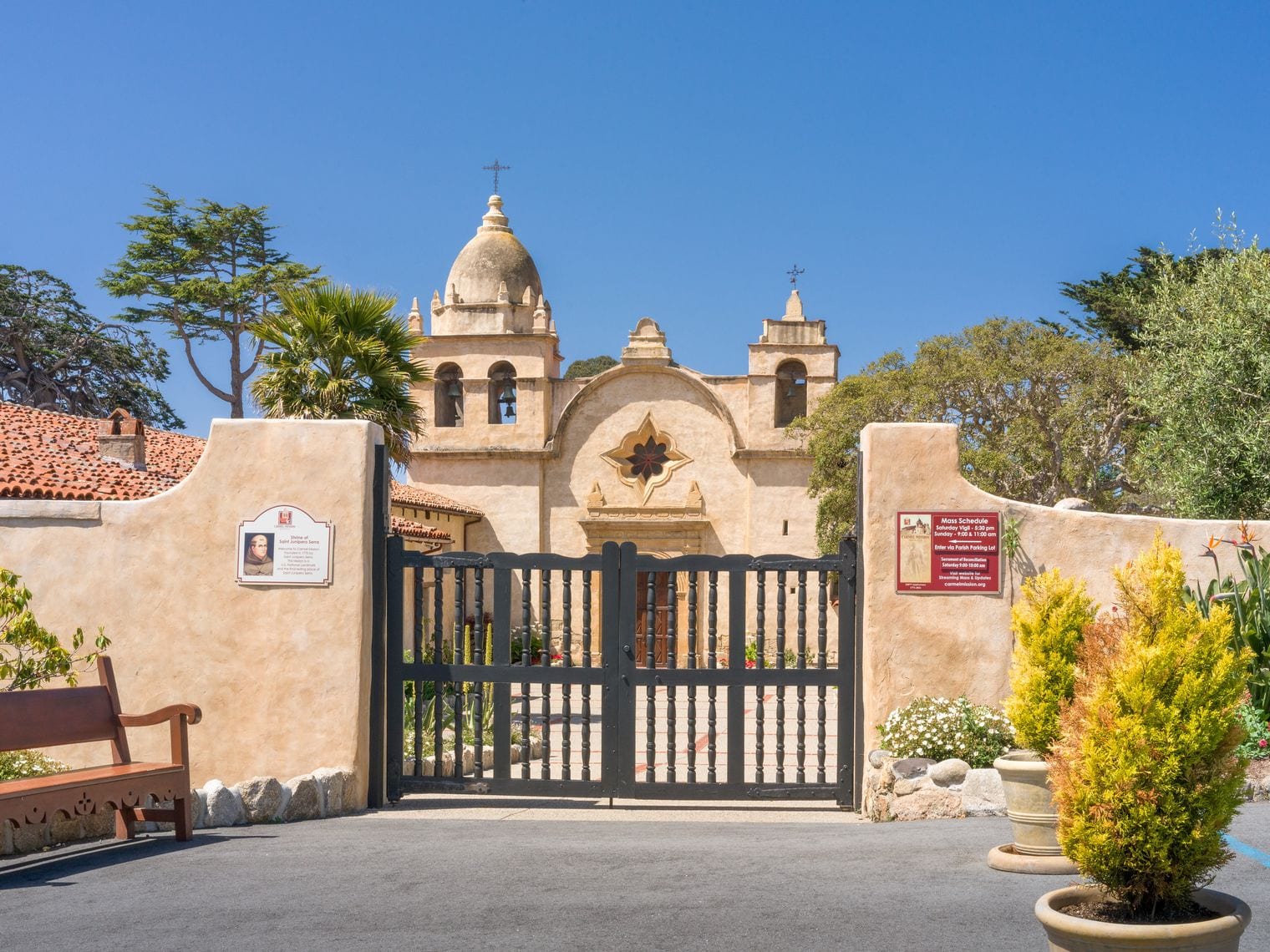
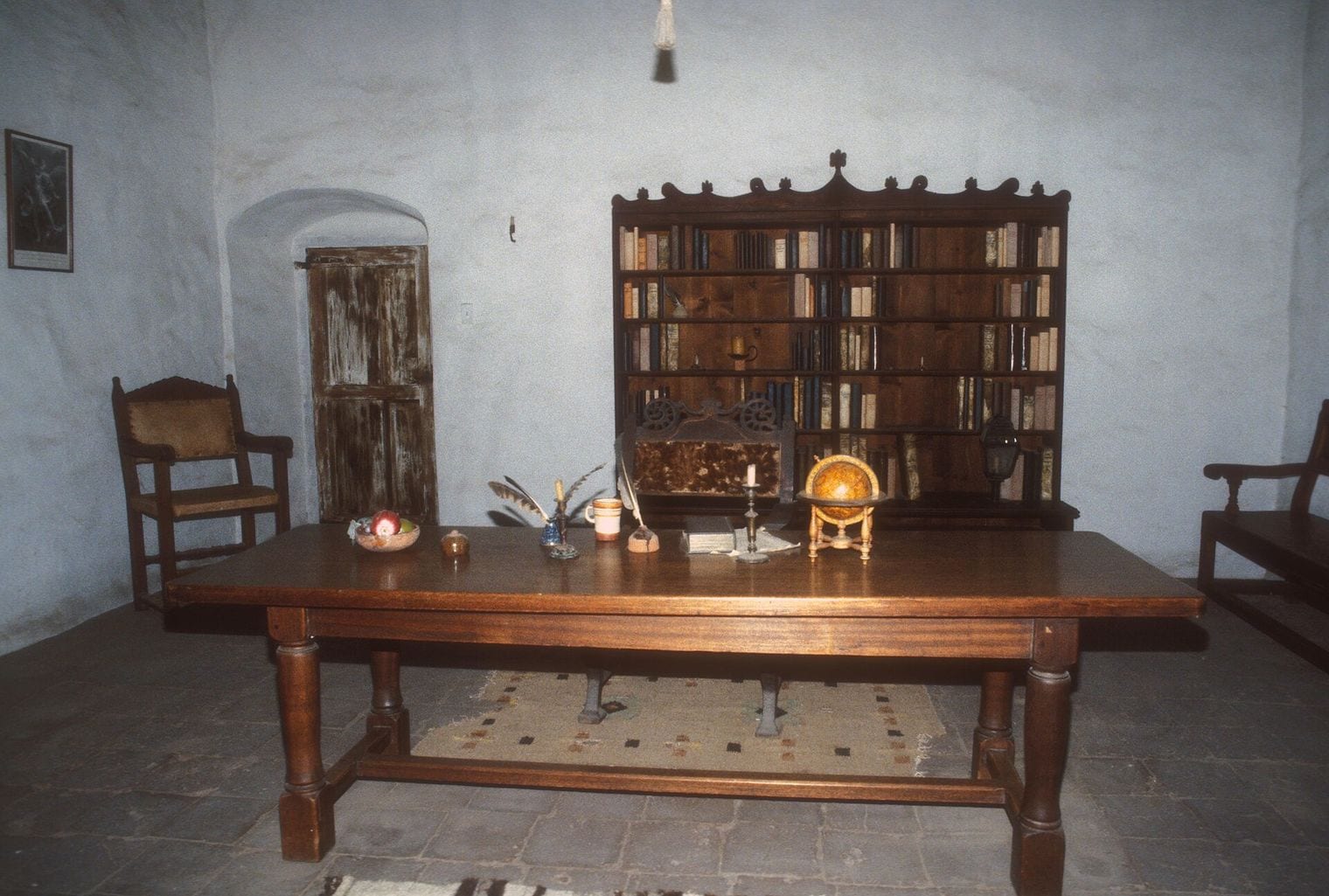
The Carmel Mission, formally Mission San Carlos Borromeo de Carmelo, stands near the mouth of the Carmel River on the southern edge of Carmel-by-the-Sea, a few minutes off Highway 1. Moved here in 1771, it served as the headquarters of the Alta California missions until 1833, and Junípero Serra, who led them, is buried in its church.
It is one of the most authentically restored missions in California, a National Historic Landmark with a stone basilica, a star window, museum rooms and flower-filled courtyards. Visit before heading south into Big Sur, and walk down to Carmel River State Beach, a short drive away.
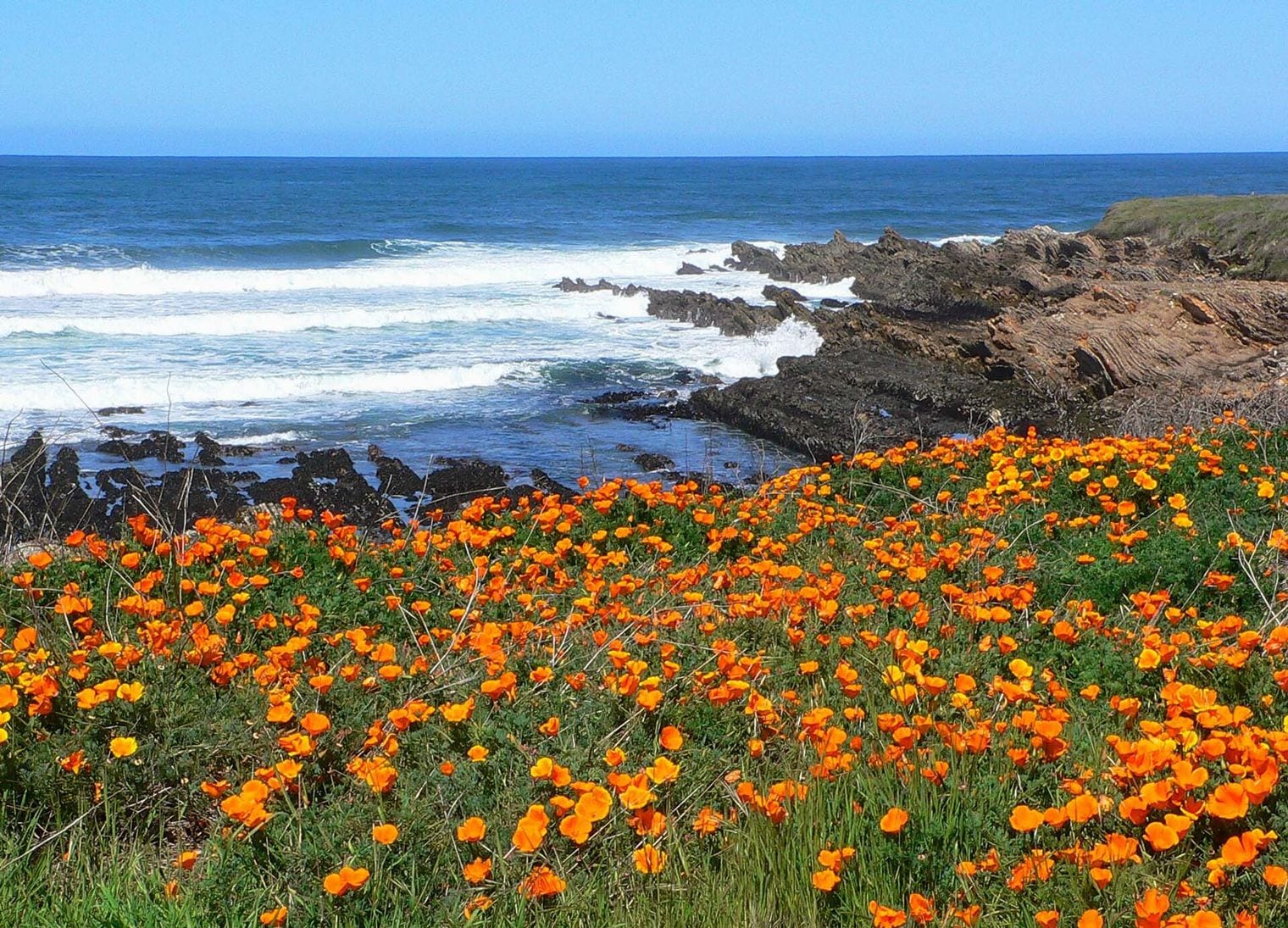
Montaña de Oro State Park covers about 8,000 acres of cliffs, coves, dunes and hills, six miles southwest of Morro Bay and two miles south of Los Osos, a short detour from Highway 1. The name means Mountain of Gold in Spanish, a nod to the wildflowers that cover the hills in spring.
The easy Bluff Trail follows the coast past sea stacks, tide pools and hidden coves, starting near Spooner's Cove, the park's most popular beach. For a bigger view, hike to the summit of Valencia Peak. Erosion sometimes closes individual coves or trail spurs, so follow the posted signs.
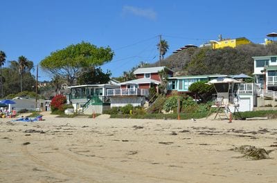
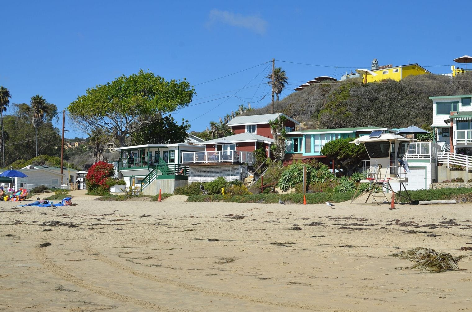
Crystal Cove State Park protects 3.2 miles of coastline between Newport Beach and Laguna Beach, with the Pacific Coast Highway running along its inland edge. Established in 1979, it combines beaches, tide pools and an underwater park with chaparral canyons that climb into the hills.
The highlight is the Crystal Cove Historic District, a cluster of vintage beach cottages right on the sand that feels like a step back to the California coast of the early 20th century. Explore the tide pools at low tide, walk the bluff-top trail, or head inland for miles of hiking and mountain-biking trails.
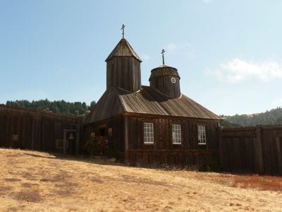
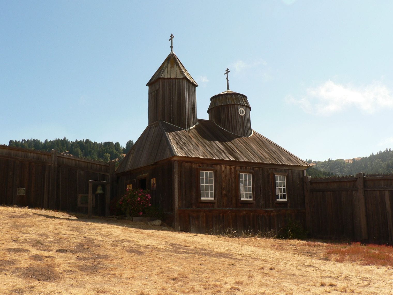
Fort Ross State Historic Park preserves the southernmost Russian settlement in North America, on a grassy marine terrace beside Highway 1 in Sonoma County, north of Jenner. The Russian-American Company ran it from 1812 to 1841, and its community included Native Californians, Native Alaskans, Russians and Finns.
Walk inside the wooden stockade to see the Russian Orthodox chapel, the corner blockhouses and the officials' quarters, then follow the path down to the cove below. The drive to reach it, on a twisting stretch of cliffside highway, is one of the most dramatic on the northern coast.
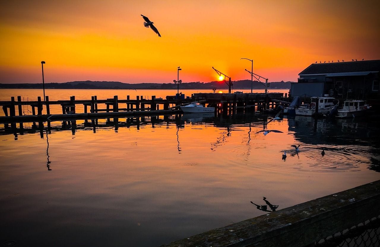
Bodega Bay is a small fishing village on Highway 1 in Sonoma County, on the eastern side of Bodega Harbor, about 90 minutes north of San Francisco. It is best known as the setting for Alfred Hitchcock's The Birds, and fishing boats still work out of its harbor.
Drive out to Bodega Head at the end of the peninsula for a cliff-top walk and, in winter and spring, a good chance of spotting gray whales. Then browse the waterfront for fresh seafood before continuing north along the Sonoma Coast. The town is also an easy day trip from Santa Rosa, under an hour inland.
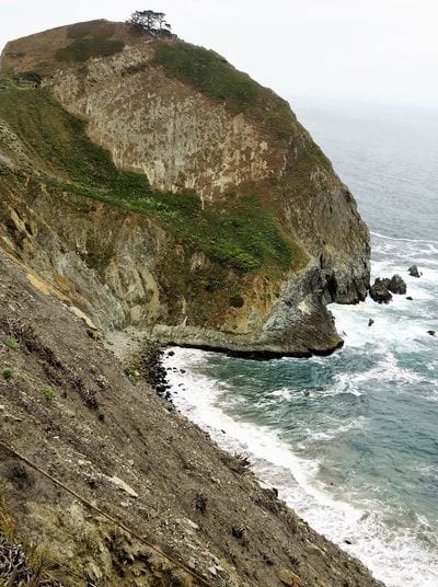
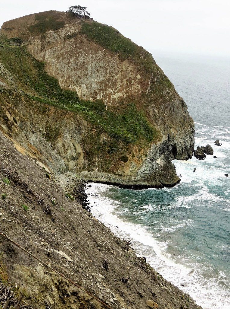
Devil's Slide Trail follows a retired stretch of Highway 1 on the San Mateo coast between Pacifica and Montara, a few miles south of San Francisco. When a pair of tunnels took the highway inland, this crumbling cliffside segment was turned into a paved trail about 1.3 miles long for walkers and cyclists.
Overlooks with benches and viewing scopes look straight down to the surf and out to the seabird colonies on the offshore rocks, and the old World War II bunker on the ridge above is a landmark. Parking lots sit at both ends of the tunnels, making it an easy stop on the drive south from the city.
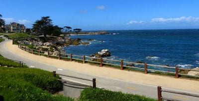
Pacific Grove is the quiet town at the tip of the Monterey Peninsula, where the coast road bends from Monterey Bay to the open Pacific, a short drive off Highway 1. It is known for its Victorian homes, its shoreline paths and the monarch butterflies that winter in its groves.
Start at Lovers Point, a small beach and park on the bay, then follow the shore south along Ocean View Boulevard past tide pools and harbor seals to Point Pinos Lighthouse and the dunes of Asilomar State Beach. From about October to February, the Monarch Grove Sanctuary is the place to see clusters of butterflies hanging in the trees.
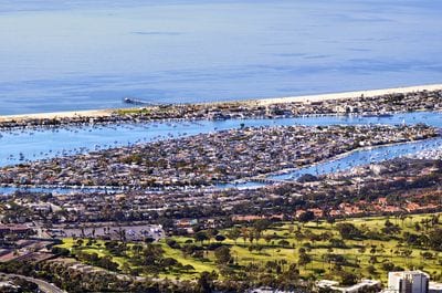
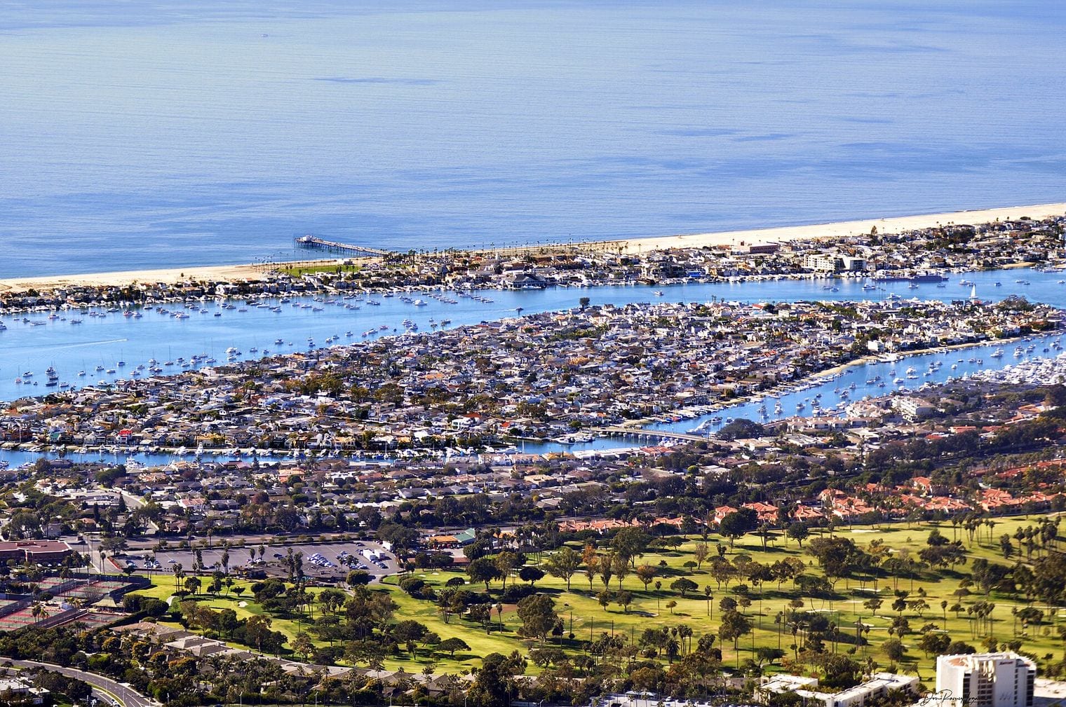
Balboa Island is a small harborside neighborhood in Newport Beach, reached from the Pacific Coast Highway by a short bridge. Its narrow streets are lined with cottages, and a concrete boardwalk circles the entire island along the water.
Walk the boardwalk around the island, stopping on Marine Avenue for its small shops and bakeries, then ride the little car ferry across the harbor to the Balboa Peninsula for the beach and the fun zone. It's a relaxed, walkable stop that shows off Newport Harbor's boats and waterfront homes, and it pairs well with nearby Crystal Cove.
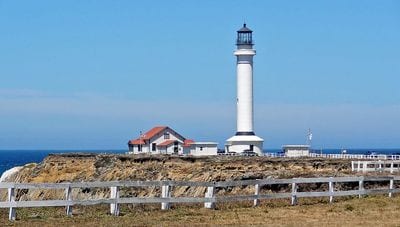
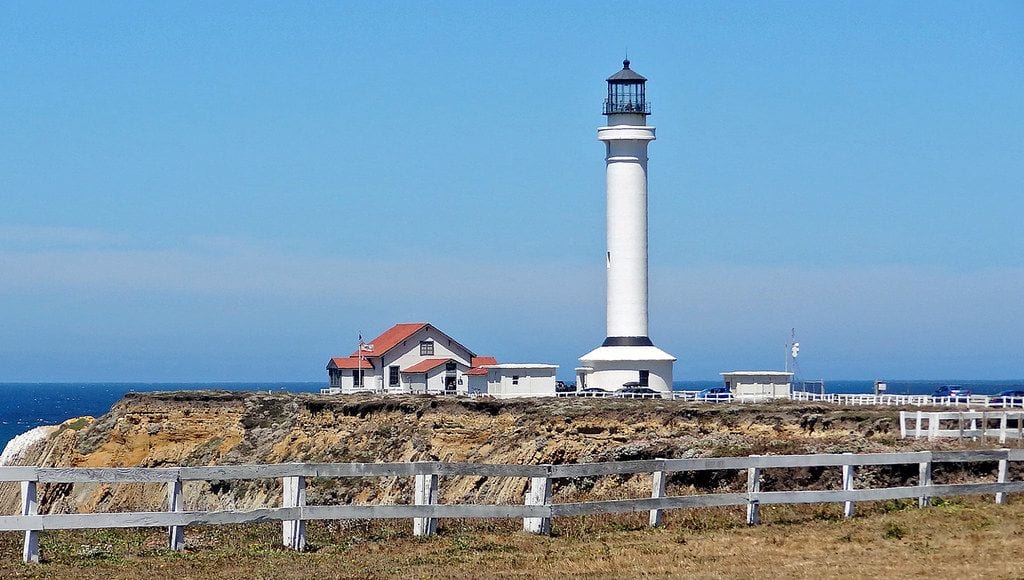
Point Arena Lighthouse stands on a narrow headland about 2 miles north of the town of Point Arena, on Highway 1 in Mendocino County, roughly 130 miles north of San Francisco. Along with Pigeon Point, it shares the title of tallest lighthouse on the West Coast.
The light station has a small museum, and guided tours of the station are offered. Even without climbing, the grounds are worth the detour for the wind-sculpted headland, the pounding surf and seasonal whale watching. The road out to the point runs through open ranchland and makes an easy side trip from the highway.
Sonoma Coast State Park is a chain of beaches strung along Highway 1 for about 17 miles, from just north of Jenner to Bodega Head in Sonoma County. It alternates sandy coves and rocky shoreline, backed by coastal prairie on a marine terrace above the sea.
The most famous stops are Goat Rock Beach, near the mouth of the Russian River, and Arched Rock Beach, with its offshore sea arch, but every pull-out along this stretch seems to reveal another cove. Swimming is dangerous here because of strong currents and sneaker waves, so enjoy it from the sand, the bluffs and the scenic turnouts.
Battery Spencer is an old Army gun emplacement high in the Marin Headlands, at the northern end of the Golden Gate Bridge where Highway 1 and US 101 cross into Marin. Built in the early 1900s, it sits almost 500 feet above the bay and gives one of the most famous views of the bridge.
From the concrete gun platforms, the north tower rises almost at eye level with the San Francisco skyline behind it. It's reached by Conzelman Road, a steep, winding road that fills quickly at sunset, and the whole area is part of the Golden Gate National Recreation Area, so it's free to visit.
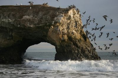
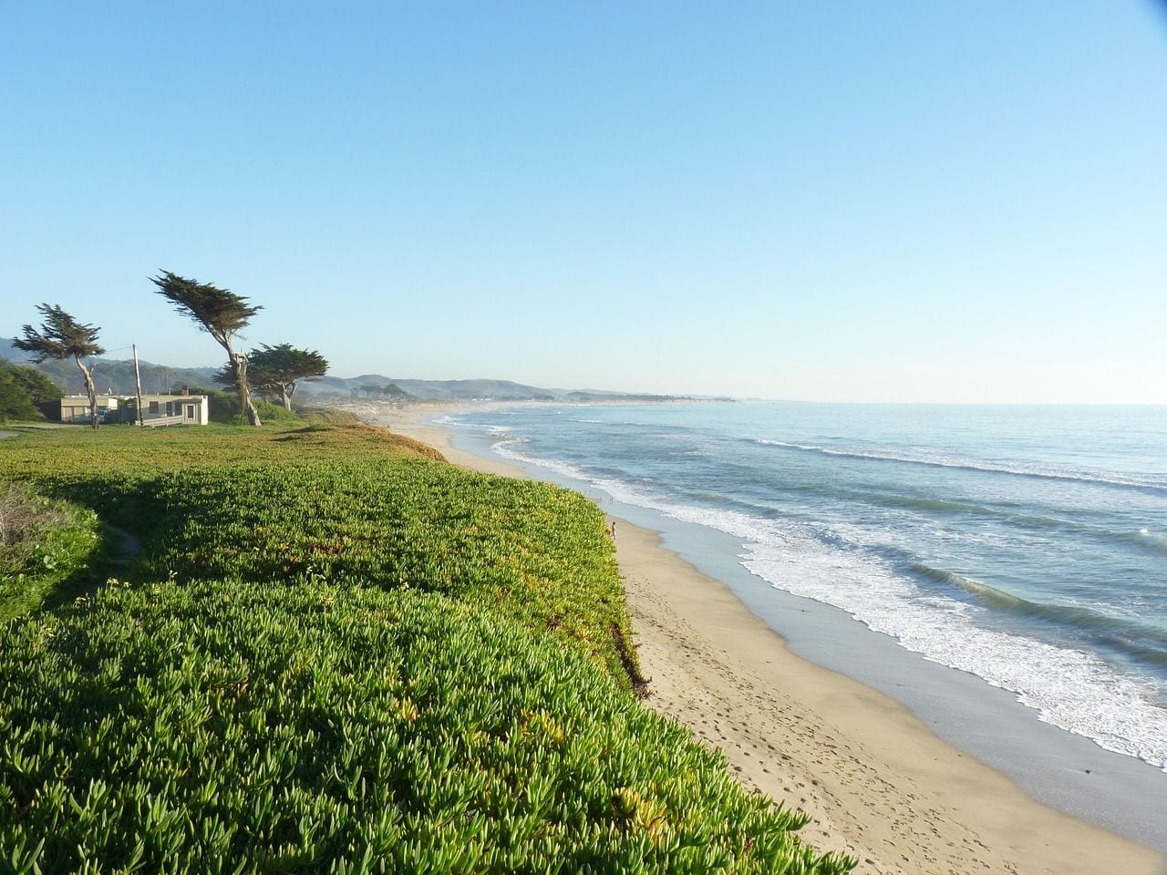
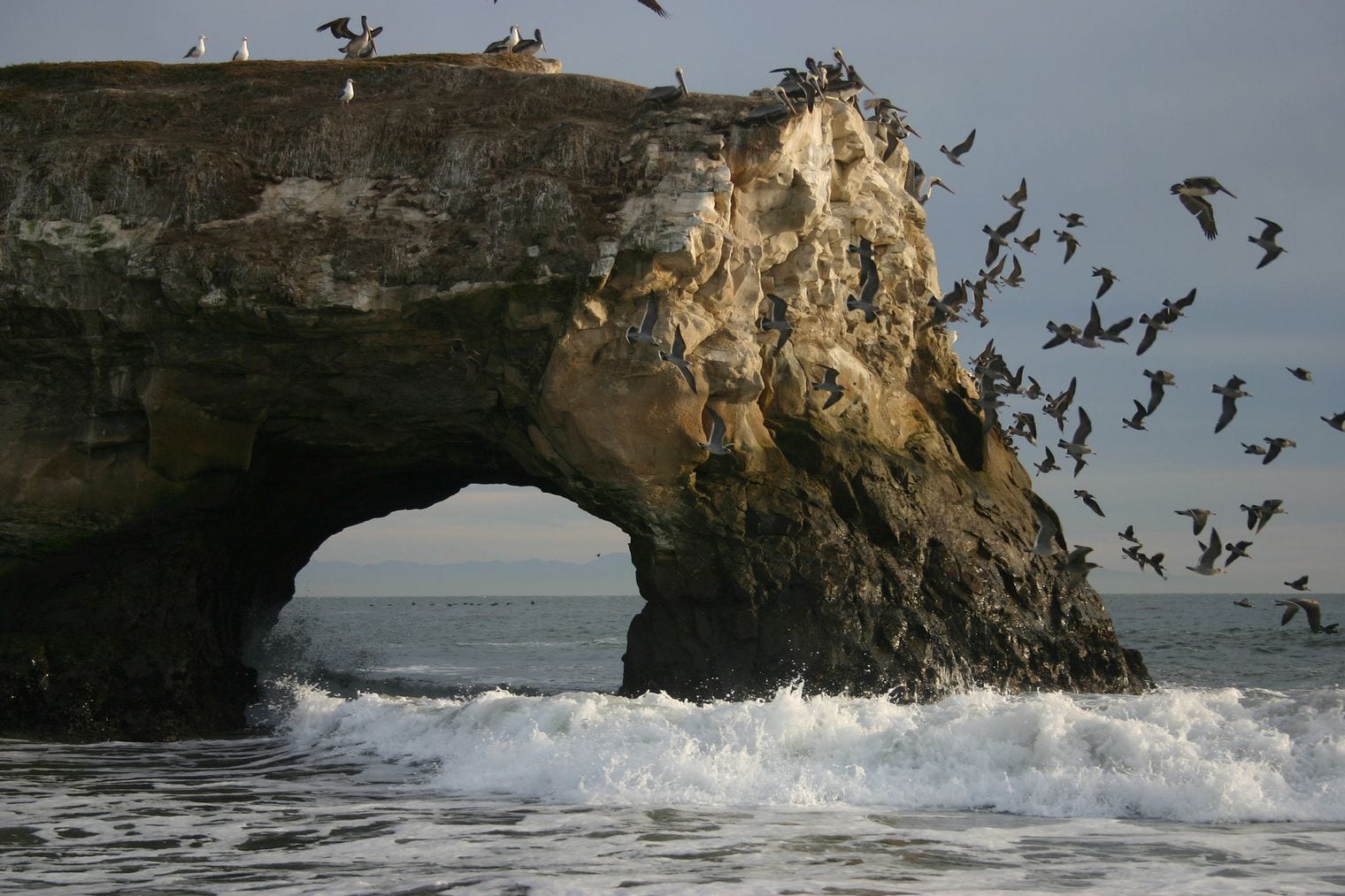
Natural Bridges State Beach sits on the western edge of Santa Cruz, just off Highway 1 where the city gives way to open coast. The 65-acre park is named for its sandstone sea arch, and its small beach, tide pools and eucalyptus grove make it one of the best short stops in Santa Cruz.
From about October to February, the grove fills with thousands of monarch butterflies, and a boardwalk leads to viewing areas. At low tide, the rocky shelves reveal anemones, sea stars and crabs. Follow West Cliff Drive east from here to reach the Santa Cruz Wharf and the Beach Boardwalk.
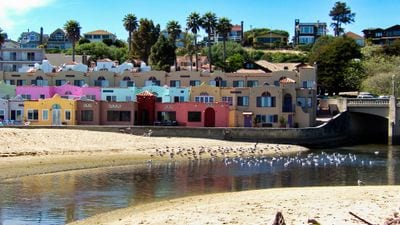
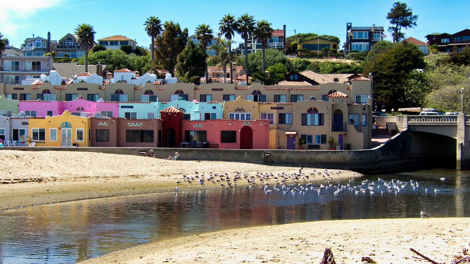
Capitola Village is a small beach town on the northern shore of Monterey Bay, just east of Santa Cruz and a short hop off Highway 1. Its brightly painted buildings along the beach and its village streets have made it a favorite summer escape for generations.
Spend an afternoon on the sand where Soquel Creek meets the bay, browse the boutiques along the Esplanade and the side streets, and watch the sunset over the bay. It is a slower-paced alternative to the busy Santa Cruz boardwalk next door, and a good place to break the drive between Santa Cruz and Monterey.
The Aquarium of the Pacific sits on Rainbow Harbor in downtown Long Beach, a short drive south of the Pacific Coast Highway's route through the city. Opened in 1998, it focuses on Pacific Ocean habitats, and it's across the water from the Queen Mary.
Exhibits cover the cold waters of the North Pacific, the kelp forests of Southern California and the coral reefs of the tropics, with sea otters, sea lions, sharks and a lorikeet aviary among the highlights. It works well as a rainy-day stop or a family break, and the waterfront around Rainbow Harbor is pleasant for a walk afterward.
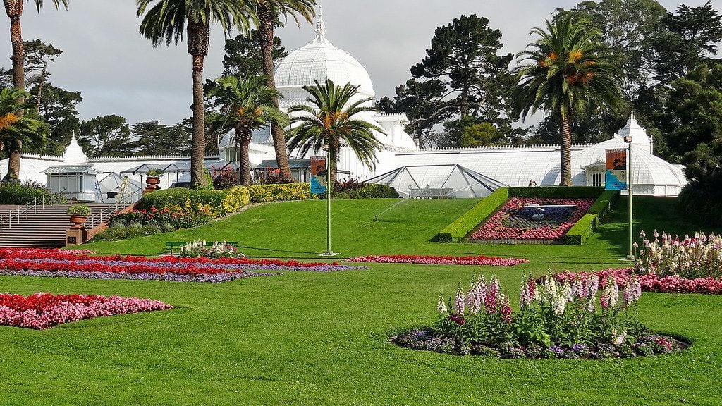
Golden Gate Park stretches more than three miles across western San Francisco, and Highway 1 runs straight through it on its way to the Golden Gate Bridge. At 1,017 acres, it is the city's largest park, built over sand dunes in the late 1800s.
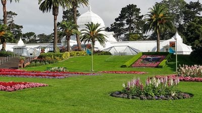
Its gardens and museums could fill a day: the glass Conservatory of Flowers, the Japanese Tea Garden, the de Young Museum and the California Academy of Sciences sit near its eastern end, while the western end has windmills, lakes and a bison paddock before the park meets Ocean Beach. Stop here before crossing the bridge north or after arriving from the south.
Elkhorn Slough is a 7-mile tidal estuary that winds inland from Moss Landing, at the midpoint of Monterey Bay, right where Highway 1 crosses its mouth. It is California's second-largest estuary, and it protects the largest tract of tidal salt marsh in the state outside San Francisco Bay.
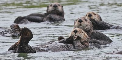
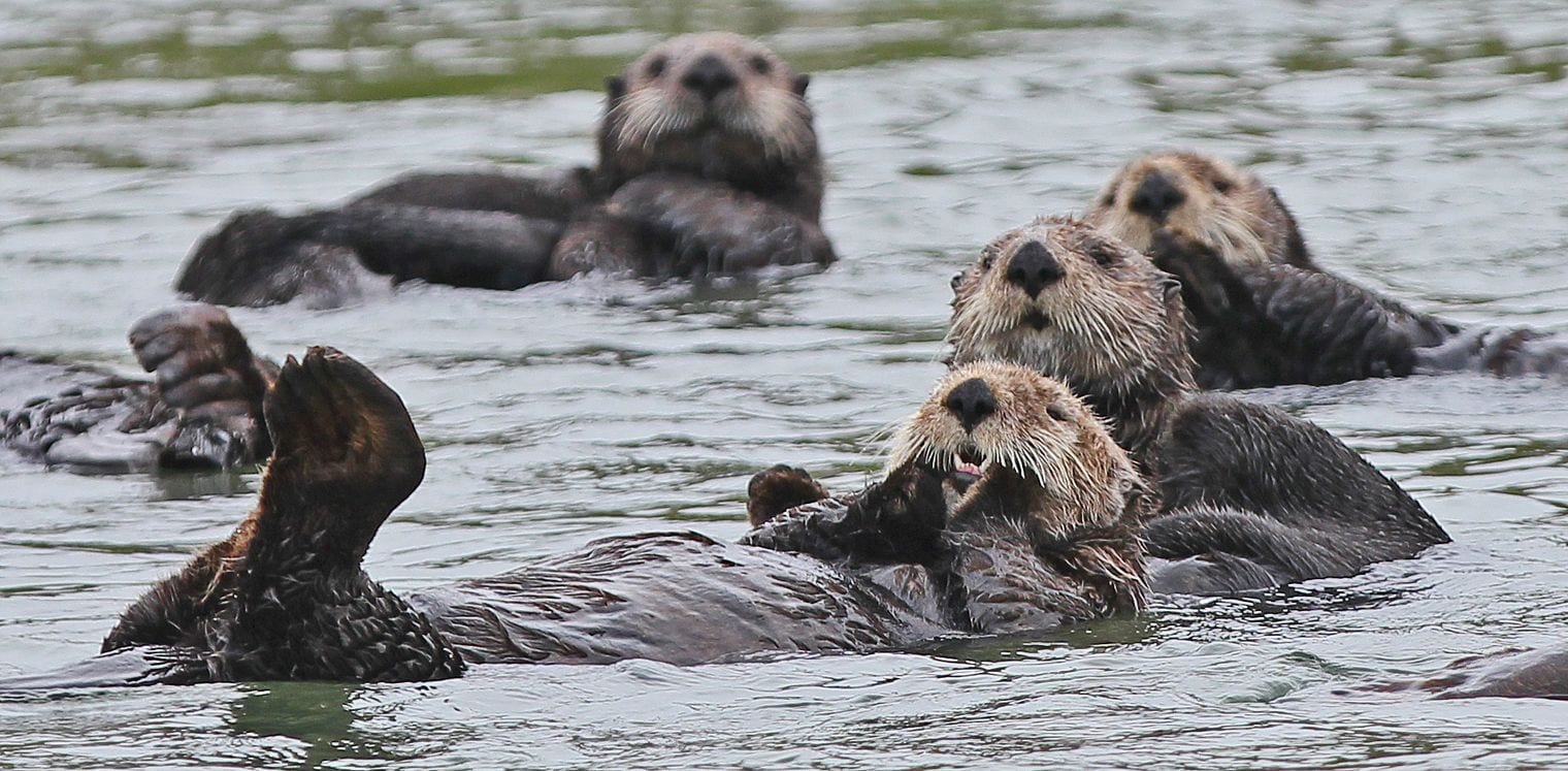
The slough is one of the best places on the coast to see southern sea otters, which float and feed in the channel, along with harbor seals and more than 340 bird species. Paddle a kayak or join a boat trip from Moss Landing, or walk the trails of the reserve for views over the marsh.
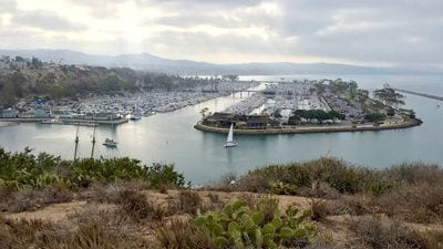
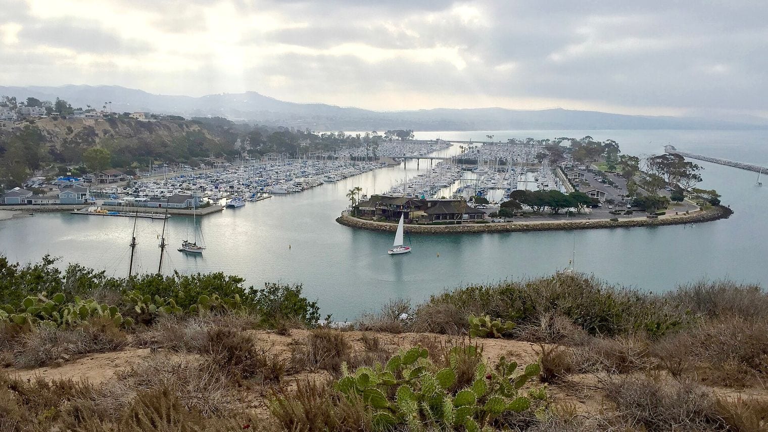
Dana Point Harbor is the marina at the southern tip of the Pacific Coast Highway, in the Orange County town of Dana Point, where Highway 1 begins at Interstate 5. The town takes its name from Richard Henry Dana Jr., whose 1840 memoir Two Years Before the Mast described this headland.
Walk the harbor and the breakwater, watch the fishing and sightseeing boats come and go, and look for dolphins and seasonal whales on a boat trip from the harbor. Parts of the harbor have been under long-running redevelopment, so expect some construction. Doheny State Beach and Mission San Juan Capistrano are only minutes away.
La Purísima Mission State Historic Park sits in a quiet valley on the edge of Lompoc, the town Highway 1 passes through on its inland loop between Pismo Beach and the Gaviota coast. Founded in 1787, the mission was destroyed by an earthquake in 1812 and rebuilt at its present site.
It is one of only two of California's Spanish missions no longer run by the Catholic Church, and the state park presents it as a working mission complex, with restored living quarters, workshops, gardens and grazing livestock. Walk the grounds and the trails around them for a sense of mission life beyond the church. Solvang is a short drive east.
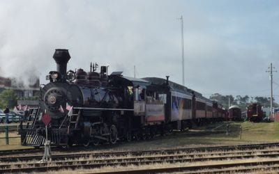
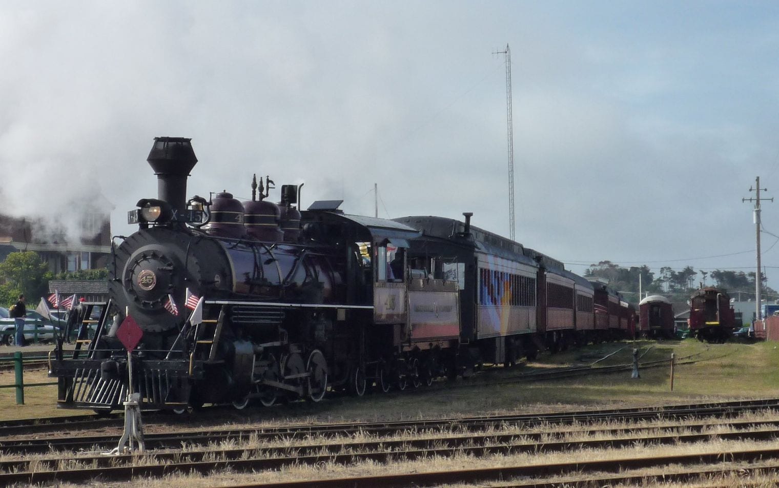
The Skunk Train is the nickname of the California Western Railroad, which runs heritage trains from its depot in downtown Fort Bragg, on Highway 1 along the Mendocino Coast, into the redwood forests inland. Its tracks follow Pudding Creek and the Noyo River, crossing trestles and passing through deep tunnels.
From Fort Bragg, the shorter route follows Pudding Creek into the redwoods to Glen Blair Junction, where passengers can stretch their legs on a forest loop trail. There are also pedal-powered railbikes that follow the same tracks. It is a relaxing half-day break from the coast drive and a favorite with families.
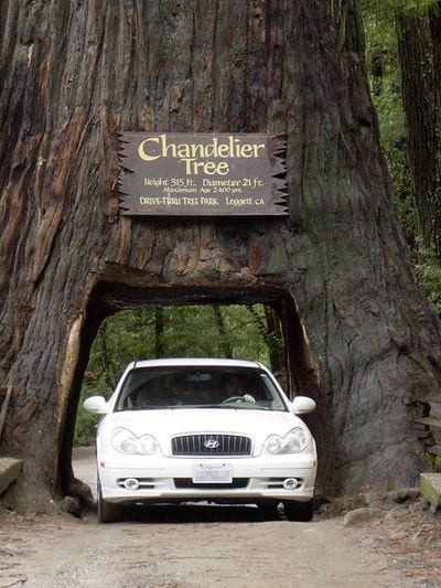
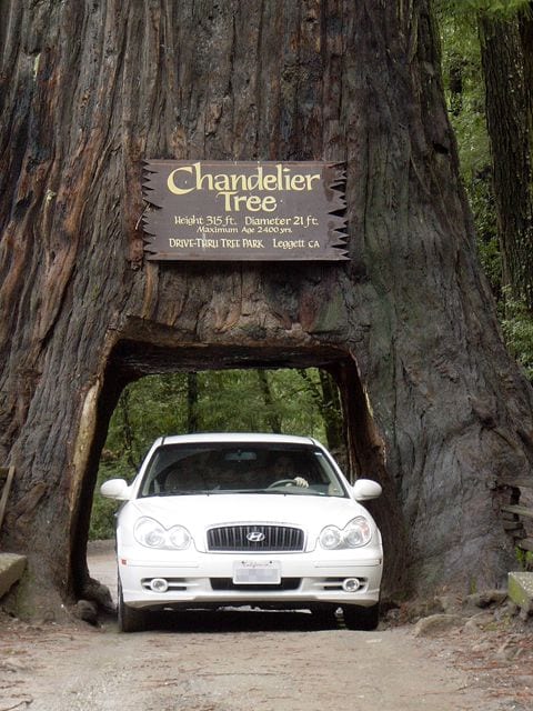
The Chandelier Drive-Thru Tree stands in a private redwood grove in Leggett, the Mendocino County town where Highway 1 ends at its junction with US 101. The coast redwood is about 276 feet tall, and a hole roughly 6 feet wide has been cut through its base so that cars can drive through it.
Its name comes from the huge limbs that branch out like a chandelier far up the trunk. There's an entry fee, and wide vehicles won't fit through, but squeezing a car through the tree is a classic road-trip photo. It makes a fitting end or beginning for a Highway 1 trip, depending on which way you drive.
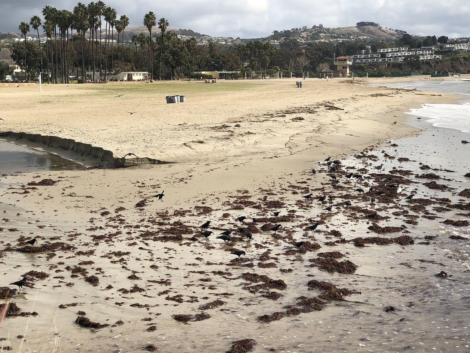
Doheny State Beach sits at the mouth of San Juan Creek in Dana Point, near the southern end of Highway 1. Often described as the first state beach in California's park system, it has gentle waves and grassy picnic areas that make it a popular spot for families and beginner surfers.
The beach is next to Dana Point Harbor and near other surf spots such as Salt Creek and Capistrano Beach. Spread out on the lawns, try a surf lesson in the gentle waves, or walk along the sand toward the harbor. The campground by the sand is one of the most sought-after in Orange County.
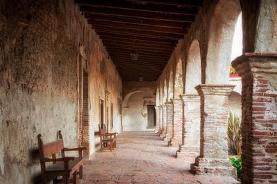
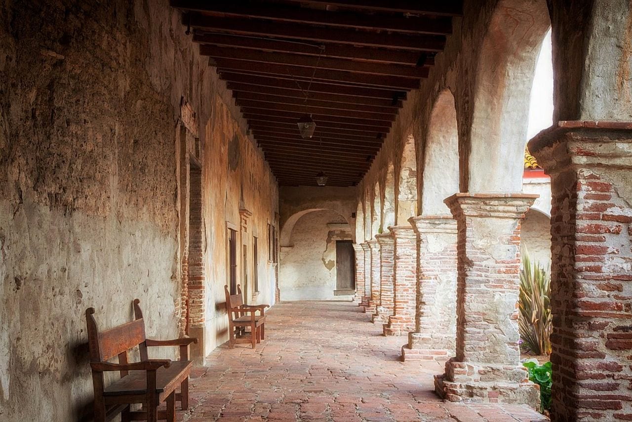
Mission San Juan Capistrano lies a few miles inland from Dana Point, a short detour from the southern end of Highway 1 at Interstate 5. Founded in 1776 by Franciscan missionaries, it is one of the best-known of California's missions, and today it functions as a museum and historic site.
Walk through its gardens and courtyards, the adobe rooms and the ruins of the Great Stone Church, which collapsed in an earthquake in 1812. The mission is famous for the swallows that return each spring, and the historic Los Rios Street, with its old adobes and cottages, is just across the railroad tracks.
Plan your trip
Best Time to Visit the Pacific Coast Highway
September and October are the sweet spot for most of the route: the summer fog that blankets Big Sur, San Francisco and the northern coast usually thins out, the water is at its warmest, and the summer crowds have gone home.
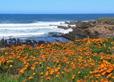
Spring is the other strong season, with green hills, wildflowers at Montaña de Oro and along the Big Sur cliffs, and gray whales passing the headlands on their way north. Summer brings the longest days and the busiest roads, and north of Santa Barbara it also brings the fog locals call June Gloom.
Winter is the season for wildlife and the one with the most risk. Elephant seals crowd the beaches at Piedras Blancas and Año Nuevo, and monarch butterflies cluster in the groves at Pismo Beach, Natural Bridges and Pacific Grove. But winter storms are also when landslides are most likely to close Highway 1 through Big Sur, so build a backup plan along US 101 inland.
Getting to the Pacific Coast Highway
Highway 1 begins at Interstate 5 in Dana Point in Orange County and ends at US 101 in Leggett in Mendocino County, and US 101 runs roughly parallel to it for much of the way, so you can join or leave the coast almost anywhere.
The big gateway airports are Los Angeles International at the southern end and San Francisco International in the middle; smaller airports at Orange County, Long Beach, Santa Barbara, San Luis Obispo, Monterey and San Jose sit close to the route and suit one-way trips.
Many travelers fly into San Francisco, drive south to Los Angeles and return a one-way rental car there. Amtrak trains also follow parts of the coast between Los Angeles and San Luis Obispo, but you will need a car to reach almost every stop in this guide.
Getting Around the Pacific Coast Highway
A car is essential, and the classic direction is north to south. Driving south puts you in the lane on the ocean side, so the views are unobstructed and pulling into a scenic turnout is a simple right turn rather than a left across oncoming traffic.
Through Big Sur the road is narrow and winding, gas stations are few and far between, and cell coverage is patchy; fill the tank in Carmel or Cambria, and use the turnouts to let faster traffic pass.
Always check Caltrans QuickMap before you drive Big Sur: landslides and wildfires close sections of Highway 1 for months at a time, and when the road is shut the detour is inland on US 101. Several stops, including the Point Reyes Lighthouse, Montaña de Oro and Muir Woods, are detours of up to 45 minutes off the highway, and Muir Woods requires a parking or shuttle reservation in advance.
Where to Stay Along the Pacific Coast Highway
Split the drive into regions and base yourself in towns rather than trying to find a bed at every stop. In the north, Mendocino and Fort Bragg cover the Mendocino Coast, and Bodega Bay suits the Sonoma Coast. San Francisco or Sausalito works for the Golden Gate area, Half Moon Bay for the San Mateo coast, and Santa Cruz for the northern end of Monterey Bay.
For Big Sur, stay in Monterey, Pacific Grove or Carmel to the north, or in Cambria and San Simeon to the south; lodging and campgrounds within Big Sur itself are limited and book up months ahead. Farther south, San Luis Obispo and Pismo Beach make a good halfway stop, followed by Santa Barbara, then Malibu or Santa Monica for the Los Angeles coast and Laguna Beach or Dana Point at the southern end.
Join a docent tour of the Point Sur Lighthouse if one is running, then take the narrow lane down to Pfeiffer Beach for Keyhole Rock. Continue south to McWay Falls, dropping onto its cove in Julia Pfeiffer Burns State Park.
Watch the sun set over the cliffs at Ragged Point, then drive on to Cambria or San Simeon for the night, ready for the elephant seals at Piedras Blancas and a tour of Hearst Castle the next morning.
How long does it take to drive the Pacific Coast Highway in California?
The full length of Highway 1 is 656 miles from Dana Point to Leggett. You could drive it in two or three long days, but five to seven unhurried days leaves time to stop, walk and detour. Big Sur alone deserves a full day, and the stretch from San Francisco to Mendocino is slower than it looks on the map.
Does the Pacific Coast Highway go to San Diego?
No. Highway 1 begins at Interstate 5 in Dana Point, in southern Orange County, so San Diego and La Jolla are not on it. To continue south along the coast, follow the old route of US 101 through the beach towns of north San Diego County, or take Interstate 5, which is faster. That is why this guide ends at Dana Point.
Is it better to drive the Pacific Coast Highway north to south or south to north?
North to south is the classic choice. Heading south keeps you in the lane closest to the ocean, so the views are unobstructed and scenic turnouts are easy right turns instead of left turns across traffic. It also makes the dramatic Big Sur cliffs the middle of the trip, with the beach towns of Southern California as a relaxed finish.
Is Highway 1 through Big Sur open?
Highway 1 through Big Sur closes regularly, sometimes for months, because of landslides, storm damage and wildfires. Before driving the stretch between Carmel and Cambria, check Caltrans QuickMap for current closures. When a section is shut, US 101 inland is the detour.
What are the must-see stops on the Pacific Coast Highway?
The top five in this guide are Bixby Creek Bridge and McWay Falls in Big Sur, Hearst Castle at San Simeon, the village of Carmel-by-the-Sea and the Piedras Blancas elephant seal rookery. Farther afield, the Golden Gate Bridge, the Monterey Bay Aquarium, Point Lobos and the Santa Monica Pier round out the essential stops along the route.
Where does the Pacific Coast Highway start and end?
Highway 1 runs from Interstate 5 in Dana Point in Orange County to US 101 in Leggett in Mendocino County. Only part of it is officially named the Pacific Coast Highway, mainly in Southern California; farther north it is signed as the Cabrillo Highway and the Shoreline Highway, and in places it shares the road with US 101.