We build and rank every list first. Booking links come after, and only where
a partner sells a ticket, tour or stay for that exact place, so a place with
nothing to book is listed exactly as prominently as one you can book.
So how do we earn? Some links on this page go to booking
partners, and if you book tickets, tours or a stay through
one, we may earn a commission. It costs you nothing extra.
That commission never decides which places make the list, the order they
appear in, or what we write about them. No entry is sponsored or a paid
placement.
By the CityViking Research TeamPublished Ranked by mean annual precipitation · 12 min read
Last verified Checked before launchOct 30, 202615 sourcesPublished · Oct 31, 2026Researched and checked before it went liveClick for every source and the full change log.
The record
0.32 mm0.0 in
Abu Simbel
Egypt
The record
The driest inhabited place in the world is Abu Simbel, in Egypt — 0.32 mm (0.0 in), mean annual precipitation.
Source: nodc.noaa.gov. Verified .
Short answer
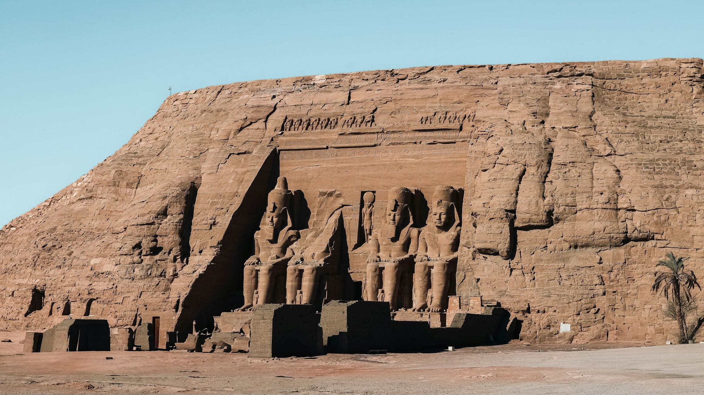
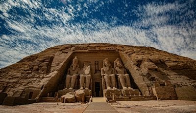
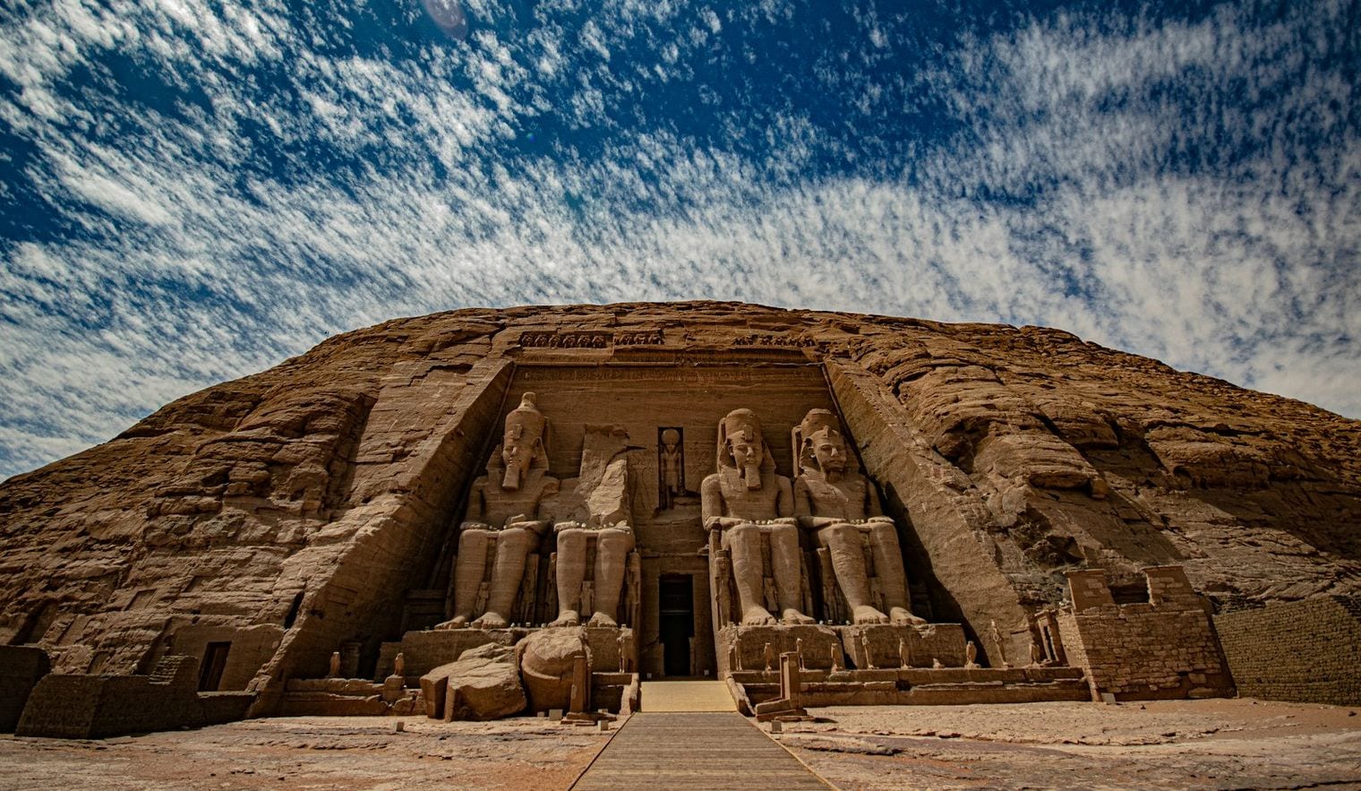
Abu Simbel in southern Egypt is the driest place in the world, averaging 0.32 mm of precipitation a year on the 1991–2020 WMO normals, just ahead of Wadi Halfa in Sudan at 0.6 mm. To see it for yourself, visit Abu Simbel's relocated temples of Ramesses II, linked to Aswan by a desert road.
Ask where on Earth gets the least rain and three answers usually come back: the Atacama Desert, the McMurdo Dry Valleys of Antarctica, and Quillagua, the Chilean oasis town Guinness World Records names on an older record of 0.5 mm a year for 1964–2001.
None of them is ranked here. This list measures one thing, the 1991–2020 WMO climate normal for annual precipitation at the weather station that carries a place's name, and on that basis the driest place in the world is Abu Simbel in southern Egypt, at 0.32 mm.
The fifteen places below run from there to Dongola in Sudan at 11.5 mm, across Egypt, Sudan, Chile, Peru and Libya. Every entry is a town or city where people live: the Dry Valleys have no residents and no station normal, and the Atacama is a region rather than a place. The #1 rests on a single station's thirty-year normal, which is why Quillagua's older figure sits out.
The Guinness driest place is not on this list. Guinness World Records names Quillagua in Chile, on an average of 0.5 mm a year measured from 1964 to 2001. That is an older record from a different period, not a 1991–2020 WMO normal, so the town is not ranked here.
The two driest places share a lake.Abu Simbel and Wadi Halfa lie about 65 km apart on the reservoir Egypt calls Lake Nasser and Sudan calls Lake Nubia, and both had to move to higher ground when the water rose behind the Aswan High Dam.
Arica's mummies are older than Egypt's. The Chinchorro people of Arica are the first known culture to have mummified their dead, some 2,000 years before the ancient Egyptians.
Only one of the fifteen is in Asia.Sharm El Sheikh stands on the Sinai Peninsula, on the Asian side of the Red Sea; the other fourteen are in Africa or South America.
The rain arrives in opposite seasons.Dongola gets most of its rain in July and August, Antofagasta in the southern winter with June the wettest month, and Aplao between January and March.
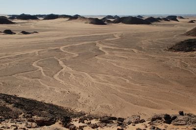
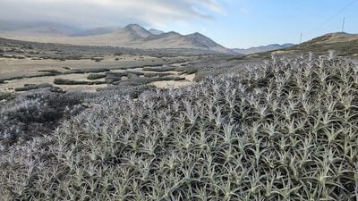
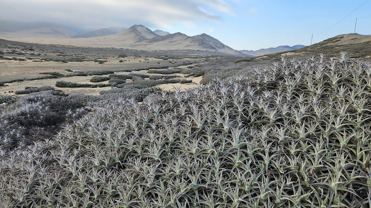
The driest desert of all is a region, not a place. The Atacama is the driest nonpolar desert on Earth, beaten only by spots in Antarctica's McMurdo Dry Valleys, and all four Chilean entries lie in or beside it.
At 0.32 mm a year, Abu Simbel is the driest place in the world on the 1991–2020 WMO normals. The village lies in the Egyptian part of Nubia, about 240 km southwest of Aswan and close to the Sudanese border, and almost all of its thirty-year average comes from two faint traces of rain, one in January and one in May.
About 2,600 people lived here in 2012, and the village exists because of the twin temples Ramesses II had carved into the mountainside in the 13th century BC. When Lake Nasser rose behind the Aswan High Dam, the temples and the village were both moved to higher ground, the temples in 1968. They now belong to the UNESCO World Heritage Site of the Nubian Monuments, and a desert road running west of the lake links them to Aswan.
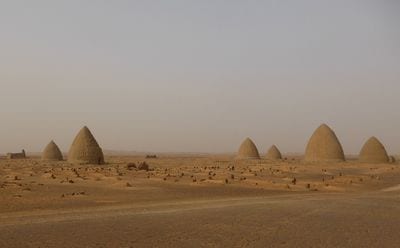
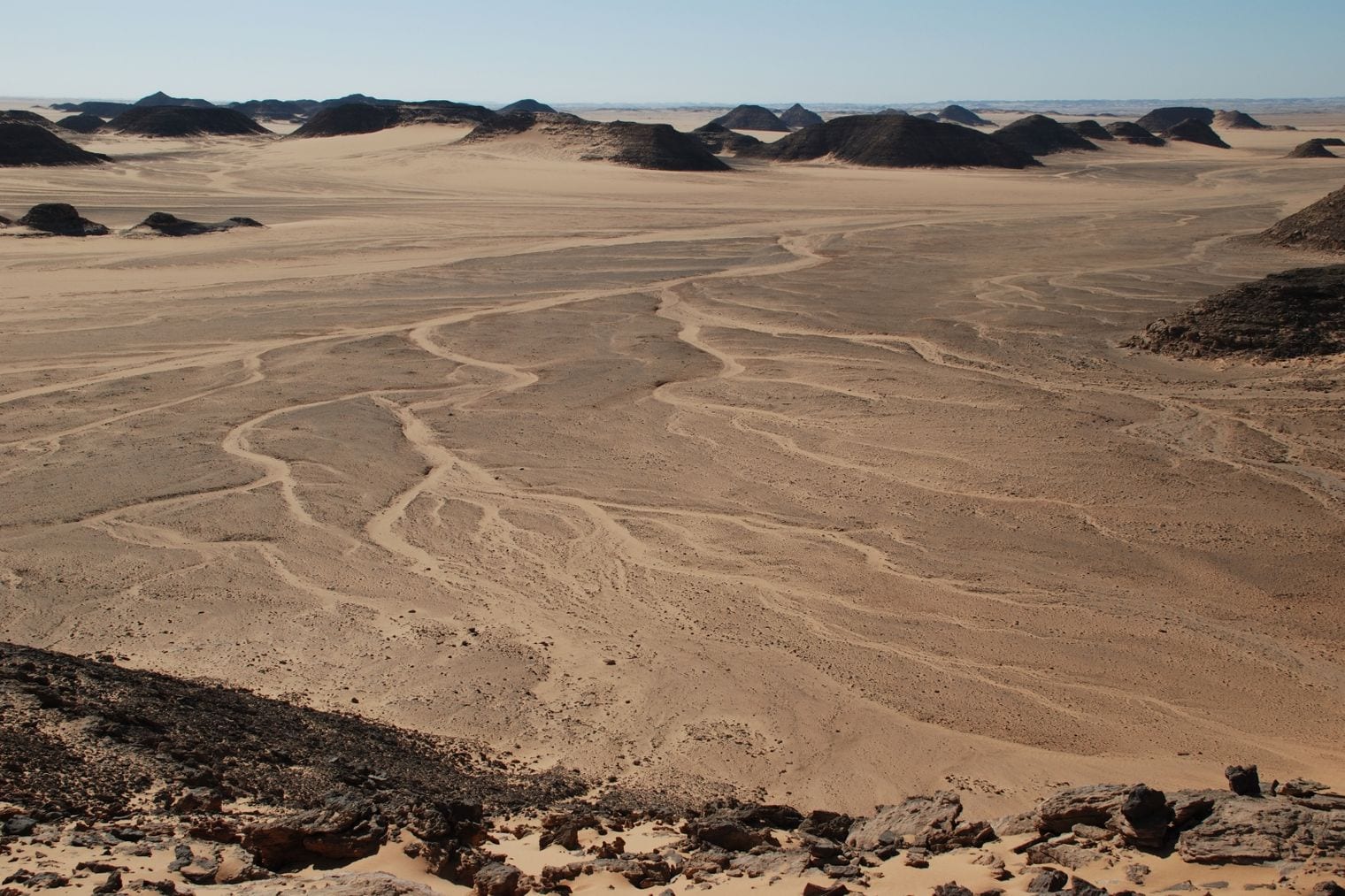
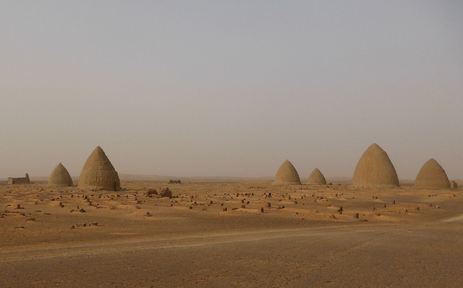
Wadi Halfa records 0.6 mm of precipitation in an average year, and on the 1991–2020 normals all of it falls in July and August. The Sudanese city stands on the shore of Lake Nubia, the Sudanese name for Lake Nasser, near the Egyptian border and about 65 km from Abu Simbel.
The town on the lakeshore is not the original. The old Wadi Halfa was flooded in 1964 when the Aswan High Dam's reservoir filled, and some 52,000 people in the area had to be resettled. The new town is the terminus of the railway from Khartoum and the point where goods pass from the trains to the lake ferries, the link between Sudan's rail network and the lake route north into Egypt.
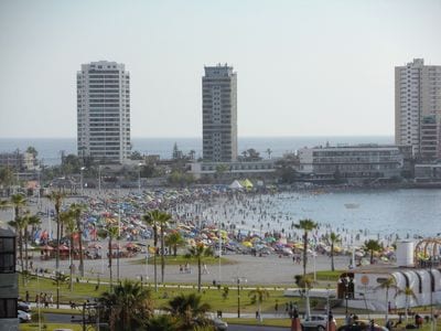
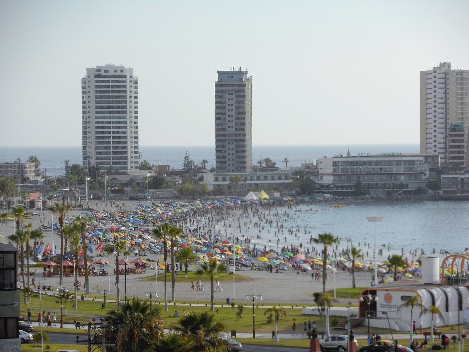
Iquique's 1991–2020 normal is 0.9 mm a year, the lowest of any place in the Americas on this list. The WMO figure comes from Diego Aracena International Airport, about 40 km south of the city, while the Chilean weather service's own climate table gives 0.8 mm, so the city sits somewhere between 0.8 and 0.9 mm depending on the source.
Iquique is a Pacific port of about 200,000 people and the capital of the Tarapacá Region, on the coast west of the Pampa del Tamarugal.
It grew rich on the saltpetre boom of the 19th century, and its nitrate-era heritage architecture is still part of its appeal, while inland the Humberstone and Santa Laura Saltpeter Works have been a UNESCO World Heritage Site since 2005. It is also one of only two free ports in Chile, and the beaches at Cavancha and Playa Brava keep the waterfront busy.
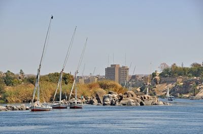
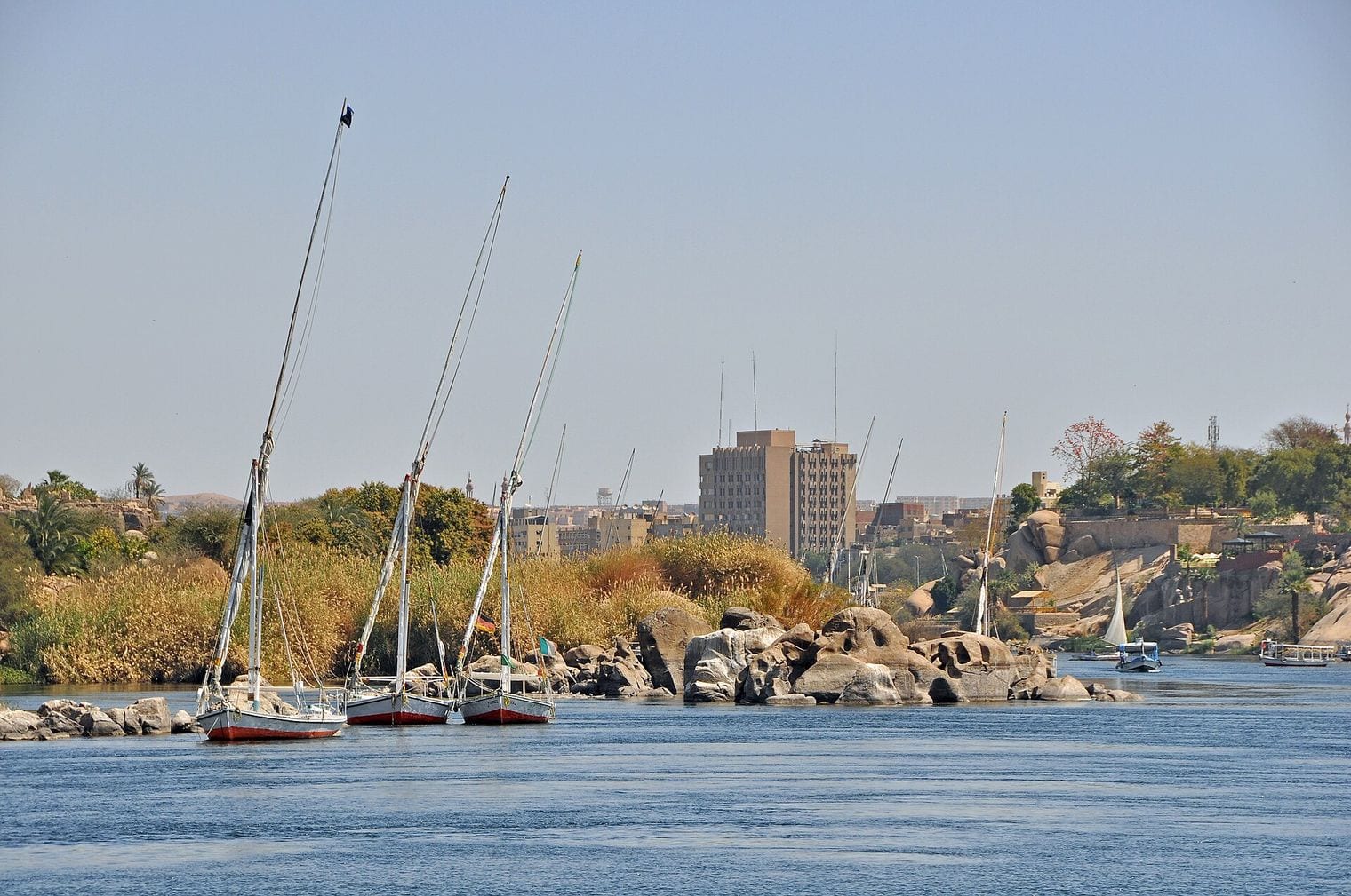
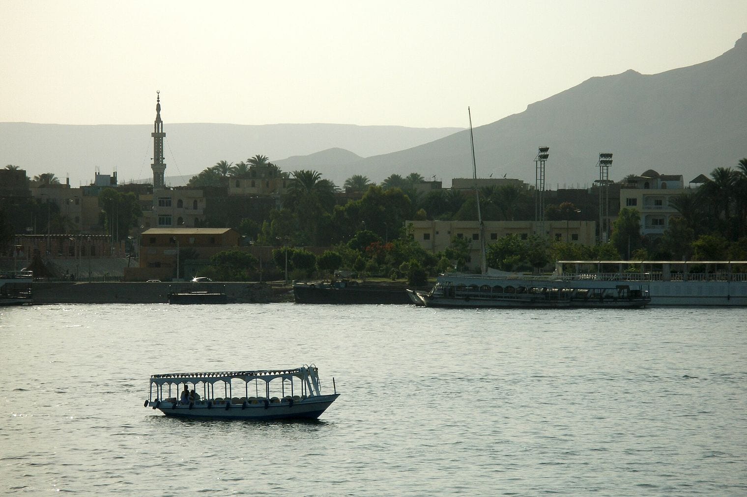
Aswan averages 2.03 mm of precipitation a year, and even its wettest month, October, sees less than a millimetre on the 1991–2020 normals. The city stands on the east bank of the Nile at the first cataract, just north of the Aswan Dam, and it was the southern frontier of ancient Egypt.
It is among the oldest continuously inhabited cities, with a recorded history of more than 2,600 years. Its quarries supplied granite to many of ancient Egypt's monuments, and the Unfinished Obelisk still lies where the stonecutters left it. Elephantine Island, the tombs of Qubbet el-Hawa and the Nubian Museum, which holds finds rescued before the reservoir flooded Lower Nubia, have made Aswan a well-known winter destination.
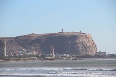
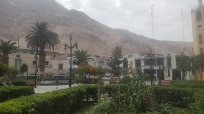
Arica's 1991–2020 normal is 2.2 mm a year at Chacalluta airport north of the city, and the Chilean weather service's own table gives 2.3 mm. That is still dry enough to rank among the driest cities on Earth, and the mild climate has earned Arica the nickname of the city of the eternal spring.
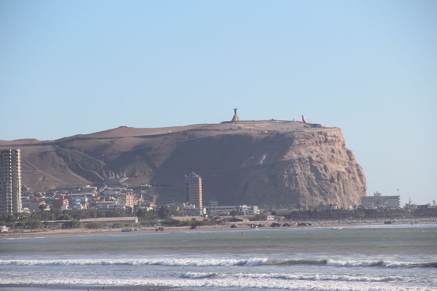
Arica is Chile's northernmost city, about 18 km south of the Peruvian border, where the Azapa and Lluta valleys cut through the Atacama to the sea and grow citrus and olives. The Morro de Arica, a near-vertical headland about 139 metres above sea level, watches over the port. The dry ground has also kept the mummies of the Chinchorro people, the first known culture to mummify its dead, some 2,000 years before the Egyptians.
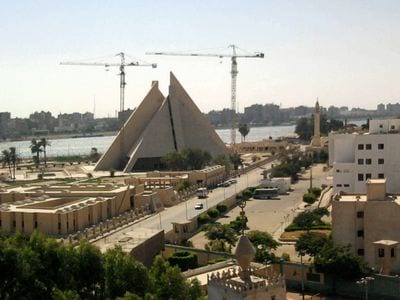
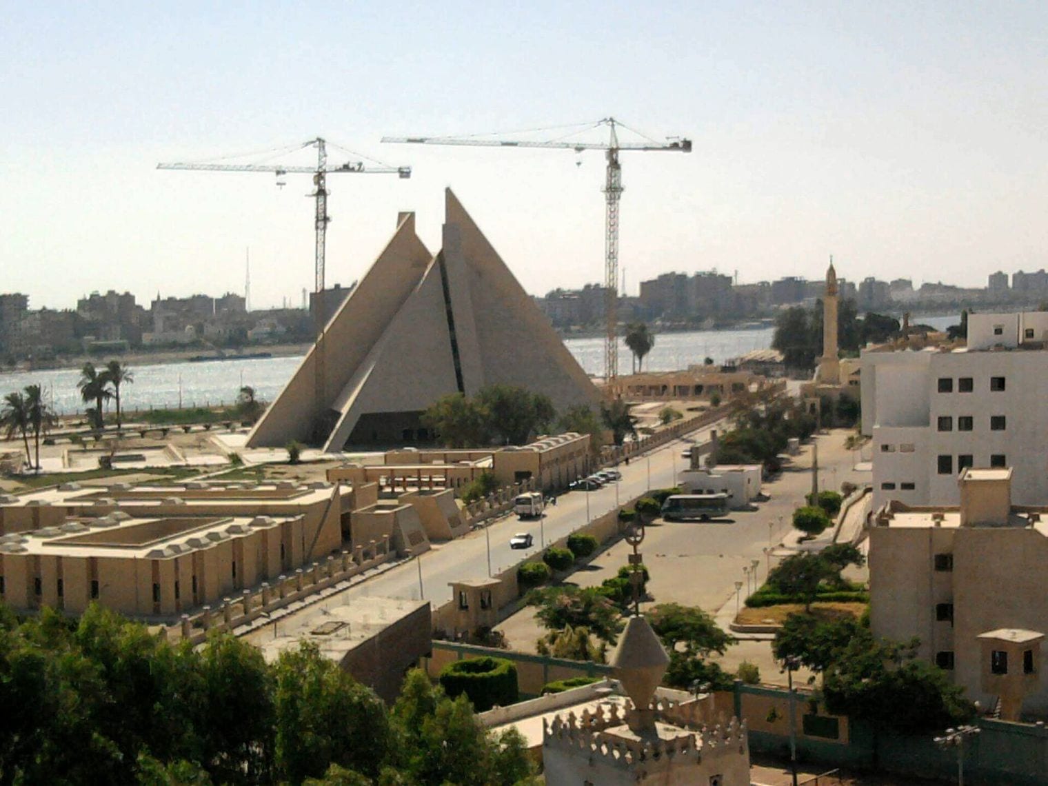
Minya averages 2.82 mm a year on the 1991–2020 normals, and most of it arrives in a few light showers between January and March. The capital of Minya Governorate lies on the west bank of the Nile, about 245 km south of Cairo, with the river flowing north through the city.
The city has one of the highest concentrations of Coptic Christians in Egypt, about half its population, and is home to Minya University. Its best-known sight lies in the limestone cliffs above the village of Beni Hasan, where thirty-nine rock-cut tombs can be visited; their painted walls reveal more about daily life in Egypt 4,000 years ago than almost any other monument in the country.
Antofagasta's 1991–2020 normal is 4.5 mm a year at Cerro Moreno airport north of the city, while the Chilean weather service's table gives 4.4 mm. Unlike the Egyptian entries, its little rain comes mostly in the southern winter, with June the wettest month.
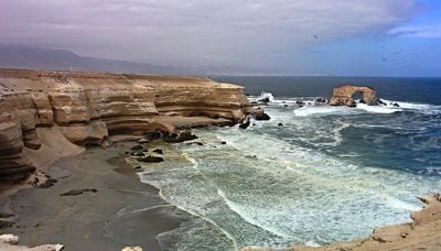
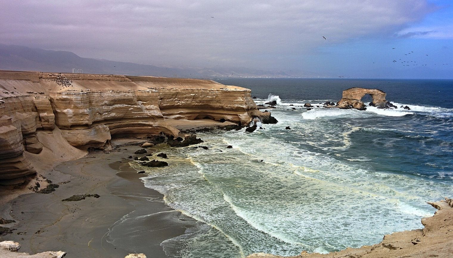
With 401,096 people at the 2024 census, Antofagasta is Chile's fifth-largest city. It lies about 1,100 km north of Santiago and was captured by Chile from Bolivia on 14 February 1879, the act that started the War of the Pacific. Today it is the port and service hub for one of Chile's great copper-mining regions, and the sea arch of La Portada natural monument stands on the coast just north of town.
Get new guides like this by email
One email every Thursday with our newest guides for the places you tick.
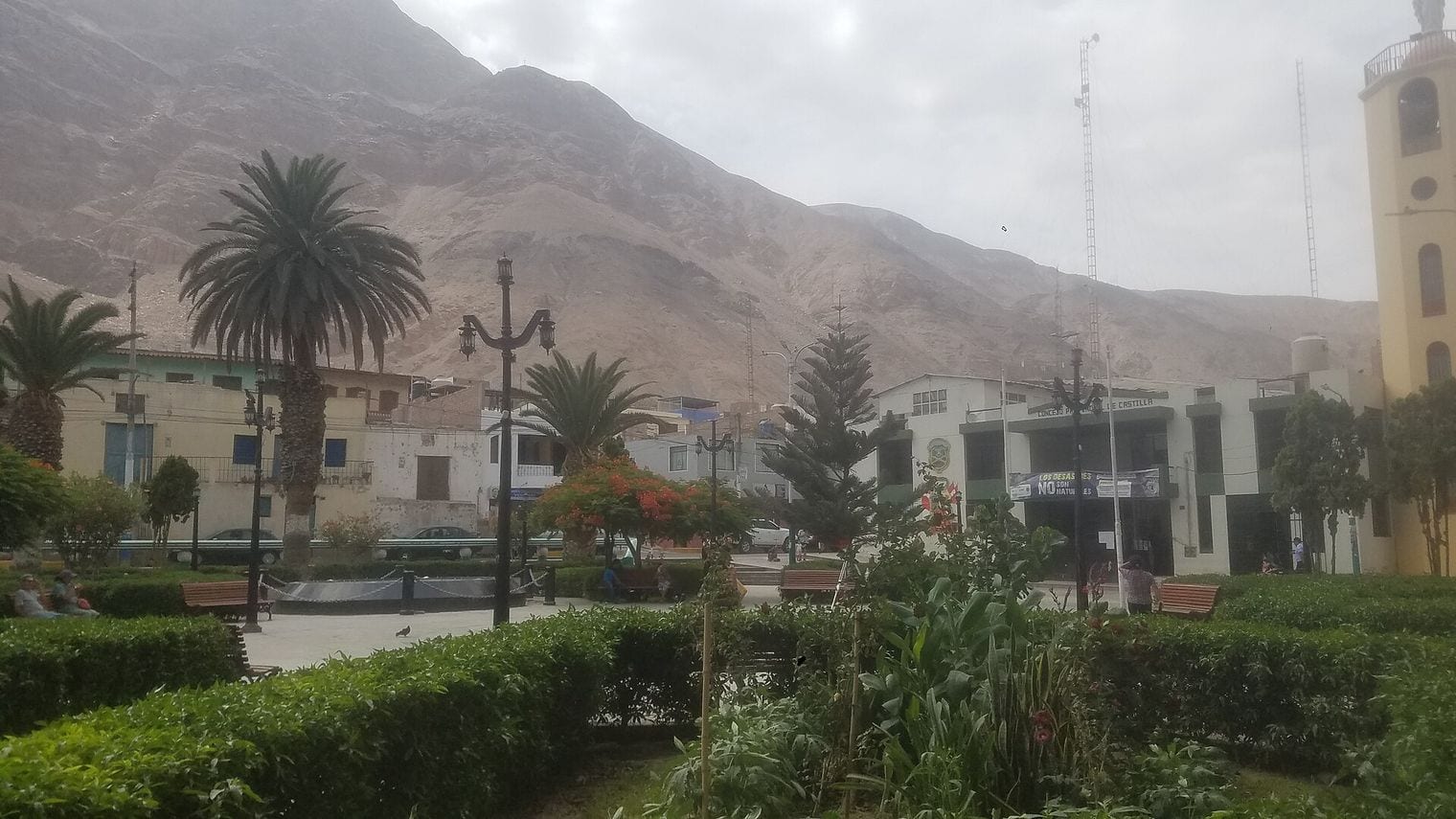
Aplao averages 6.4 mm a year on the 1991–2020 normals, and nearly all of it falls between January and March, the months of the Andean summer rains. The small Peruvian town is the capital of Castilla Province in the Arequipa Region, with about 4,700 people at the 2005 census.
Aplao sits in the green Majes valley, a ribbon of fields fed by the Majes River, which upstream carries the name Colca. The river is known for its freshwater shrimp, the camarones celebrated in the district's shrimp festival, and the irrigated farmland makes a sharp contrast with the bare desert hills on either side.
Calama records 6.8 mm a year on the 1991–2020 WMO normals at its El Loa airport, and the Chilean weather service's climate table gives 6.6 mm. Unlike the Chilean ports on this list, it lies inland in the Atacama Desert, and its rain is scattered across the year, with February the wettest month.
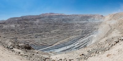
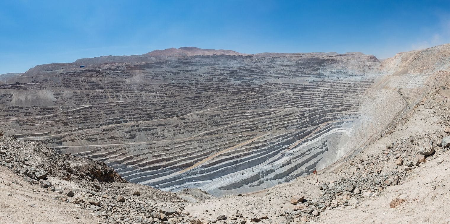
The capital of El Loa Province has about 166,000 people, making it the second-largest city in the Antofagasta Region, and the River Loa, Chile's longest, flows through it. Calama is a copper town at heart, with the vast Chuquicamata open-pit mine just to the north, and it is also where many travellers fly in for the high desert around San Pedro de Atacama.
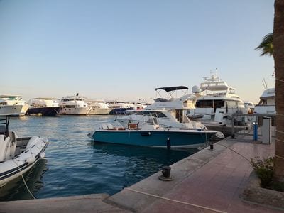
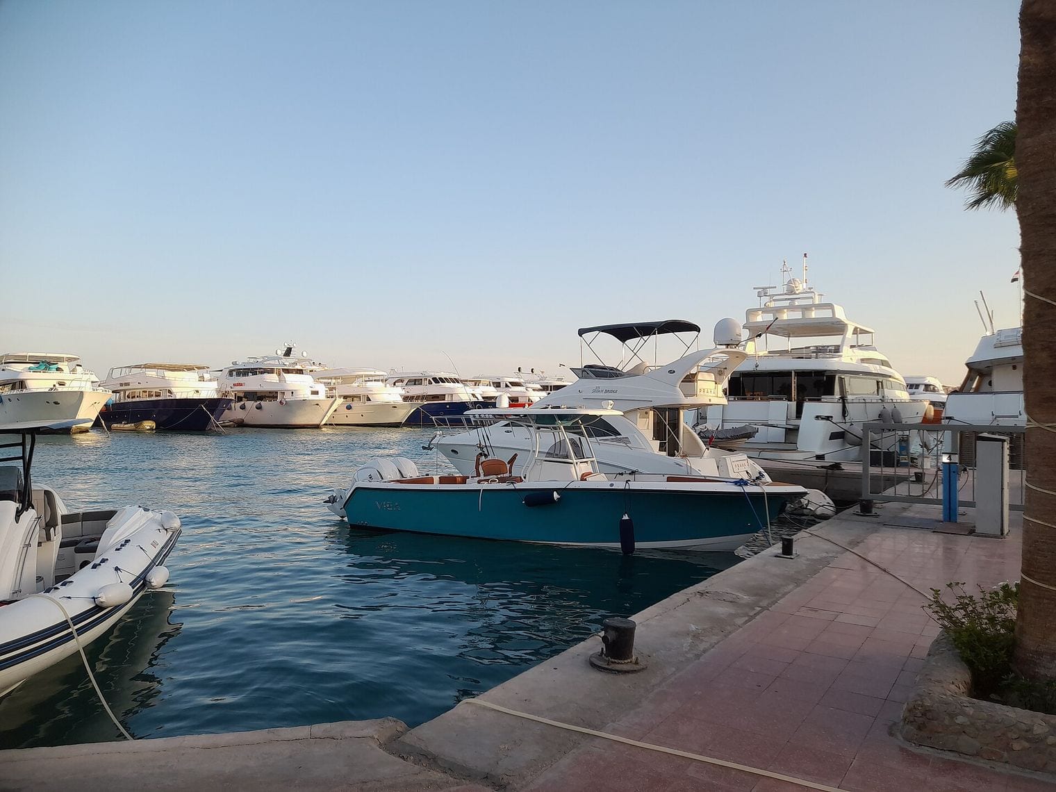
Hurghada averages 7.9 mm a year at its airport station on the 1991–2020 normals, and more than half of that falls in October and November. The capital and largest city of Egypt's Red Sea Governorate stretches for close to 40 km along the coast, with the Red Sea Mountains rising behind it.
For many decades Hurghada was a small fishing village, but investment from the 1980s turned it into one of the largest resort destinations on the Red Sea. Offshore islands such as Giftun draw divers and snorkellers, the resorts offer windsurfing and kitesurfing, and resort towns such as El Gouna and Makadi Bay spread along the shore to either side.
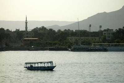
Luxor's 1991–2020 normal is 8.25 mm a year, with January the wettest month; the Wikipedia climate table rounds the same normal to 8.3 mm. The city of about 285,000 people is the capital of the Luxor Governorate in Upper Egypt, and it stands on the site of ancient Thebes, one of the capitals of ancient Egypt.
Luxor is often called the world's greatest open-air museum, because the temple complexes of Karnak and Luxor stand inside the modern city. Across the Nile, the West Bank holds the Theban Necropolis, with the Valley of the Kings and the Valley of the Queens, and the hot-air balloons that rise over it have become one of the city's best-known sights.
1212. Buena Vista Alta
Buena Vista Alta, Casma Province, Áncash Region, Peru
Buena Vista Alta averages 8.6 mm a year on the 1991–2020 normals, most of it in February and March. The small town, also written Buenavista Alta, is the capital of its district in Casma Province on Peru's northern desert coast, about 13 km from the town of Casma.
The Buenavista valley is farming country, and the district has become one of the province's leading growers of export mangoes, along with a local plum it celebrates in a mango and plum festival. The valley is also rich in archaeology: the ruins of Sechín Alto lie within the district, part of a cluster of early sites in the Casma and Sechín valleys.
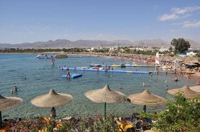
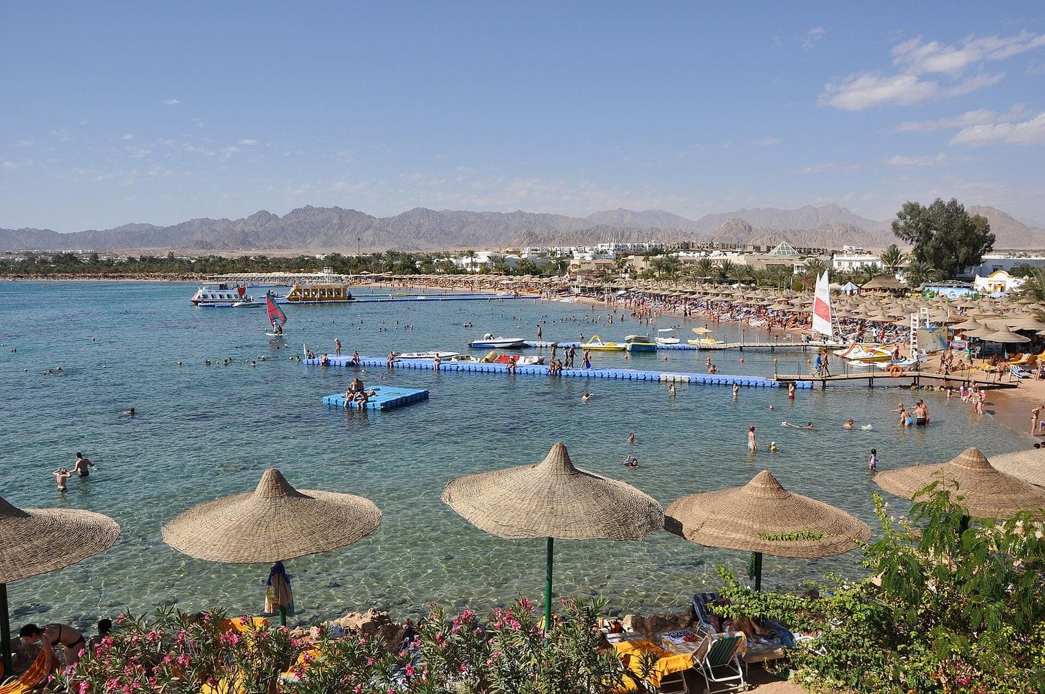
Sharm El Sheikh averages 10.05 mm a year at its airport station on the 1991–2020 normals, mostly from a few showers between November and January. The city sits on a promontory at the southern tip of the Sinai Peninsula, overlooking the Straits of Tiran at the mouth of the Gulf of Aqaba, which puts it on the Asian side of the Red Sea.
It was a fishing town and military base before Egypt developed it into a major international resort, and with about 77,000 people it is now the administrative hub of the South Sinai Governorate. Naama Bay is the best-known of its five districts, and Ras Muhammad National Park, a marine reserve since 1983, protects the reefs and coast about 12 km away at the very tip of the peninsula.
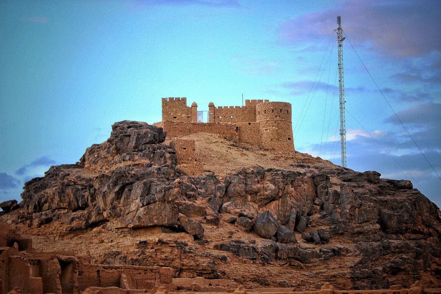
Ghat averages 10.7 mm a year on the 1991–2020 normals, and its rain is spread in small amounts through most of the year, with October the wettest month. The town is the capital of the Ghat District in the Fezzan, deep in southwestern Libya just east of the Algerian border, and the only Libyan entry on this list.
Ghat was a stronghold of the Kel Ajjer Tuareg, whose territory once reached across southwestern Libya and into southeastern Algeria. It is best known as the gateway to the Acacus Mountains, whose prehistoric rock paintings and engravings have been a UNESCO World Heritage Site since 1985, and to the Tassili n'Ajjer across the border, with the desert landscapes around the town a draw in their own right.
Dongola averages 11.5 mm a year on the 1991–2020 normals, and about 9 mm of that falls in July and August alone, the months of Sudan's summer rainy season. The city is the capital of Sudan's Northern State and lies on the banks of the Nile.
The modern town, also called New Dongola, should not be confused with Old Dongola, a deserted medieval city about 80 km upstream on the opposite bank, which was the capital of the Christian kingdom of Makuria until the 14th century. One theory traces the name to a Nubian word for red brick, after houses built of fired brick where neighbouring towns used mud.
FAQ: The World's Driest Places
What is the driest place in the world?
On the 1991–2020 WMO climate normals, it is Abu Simbel in southern Egypt, where the weather station averages just 0.32 mm of precipitation a year. Wadi Halfa, across the border in Sudan, is second at 0.6 mm, and Iquique in northern Chile is the driest place in the Americas on the same basis, at 0.9 mm.
Why isn't Quillagua, Lima or the Kharga oasis on the list?
Because their figures come from other periods, not the 1991–2020 WMO normals this list is ranked on. That covers Quillagua in Chile (the Guinness driest place, 0.5 mm for 1964–2001), the Kharga, Dakhla and Siwa oases in Egypt, Al Kufrah in Libya, and Ica, Lima and Pisco in Peru. None of them is ranked here.
Which other dry places were left out, and why?
Sabha in Libya, Faya-Largeau in Chad, Walvis Bay in Namibia, Aoulef in Algeria, Chimbote, Talara and Trujillo in Peru, and San Pedro de Atacama in Chile have no 1991–2020 WMO normal either. Punta Atico and Punta Coles in Peru are headland stations rather than settlements, and the McMurdo Dry Valleys of Antarctica are uninhabited, with no station normal.
Isn't the Atacama Desert the driest place on Earth?
The Atacama is the driest nonpolar desert in the world, but it is a region rather than a single place, so it is not ranked as one; the same goes for the Rub' al Khali. Four of its towns and cities are on the list instead: Iquique, Arica, Antofagasta and Calama.
Does it ever rain in the driest places in the world?
Yes, but very little and very rarely. A climate normal is an average over thirty years, so a single shower in one year can account for most of a place's figure. At Abu Simbel almost the whole 0.32 mm average comes from two faint traces, one in January and one in May. More record-breaking countdowns are on our world record breakers page.
Sources & updates
How this ranking was verified
Checked before launch
Sources cited
15
Every figure in this ranking was checked against the record-keeper or official source behind it before publication, and the top of the ranking re-checked live so a newer record would not be missed.
One email every Thursday with our newest guides for the places you tick.
Newsletter
Stay updated with new World Record Breakers
One email every Thursday with our newest guides for the places you tick.
We use cookies to analyze site traffic and improve your experience.
You can accept or reject analytics cookies. See our
May we use analytics cookies? See ourCookie Policy.