The record
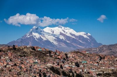
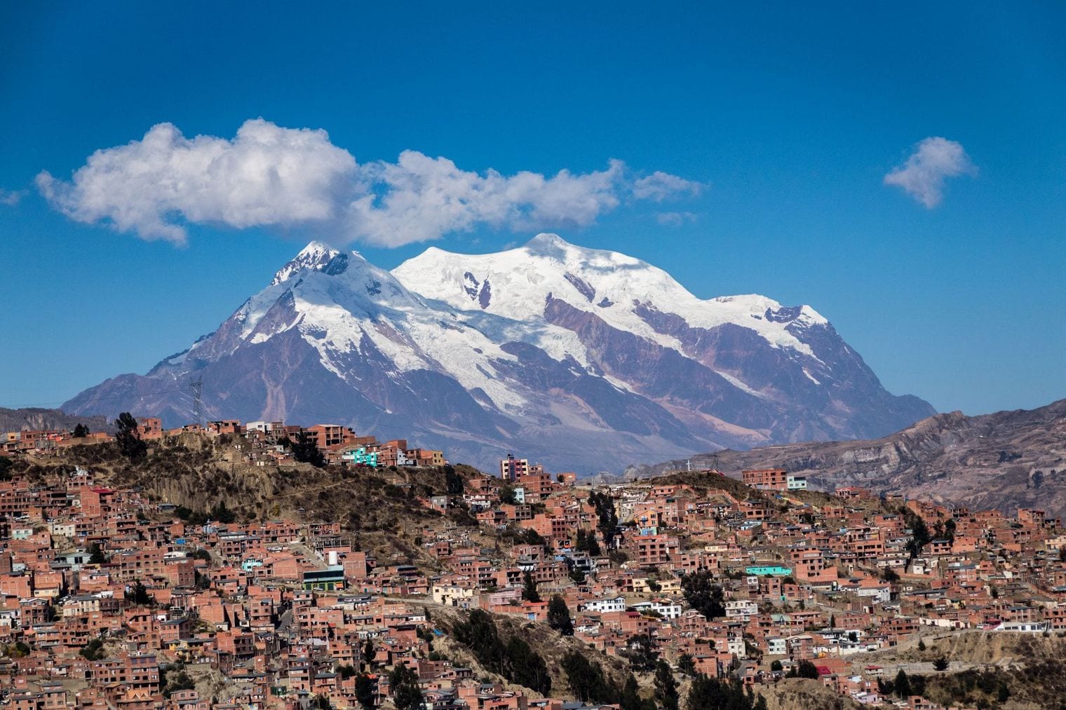
The highest capital city in the world is La Paz, in Bolivia — 3,640 m (11,942 ft), elevation.
Source: Britannica / Wikipedia; Copernicus DEM GLO-90 at centre 3,646 m. Verified .
Kathmandu sits in the shadow of Everest and still does not make this list. Neither does Madrid, the highest capital in Europe at 667 m, nor Ankara at 938 m. The fifteen capitals ranked here run from La Paz at 3,640 m down to Guatemala City at 1,500 m, and they cluster in three regions — the Andes, the East African highlands and the Ethiopian plateau — with Thimphu, Sanaa and Kabul the Asian outliers.
Not one of them is in Europe. Two rules set the order. Elevation is measured above mean sea level at each city's central reference point, because a mountain capital is a range rather than a single number: La Paz alone falls from roughly 4,100 m at the rim to 3,200 m on the valley floor.
And only a country's current official capital qualifies, one per country, which is why Sucre at 2,810 m gives way to La Paz, Bolivia's seat of government. Tehran is the telling absence — the 2,040 m figure republished across the internet is a hillside reading, not the city, which centres nearer 1,200 m.
Fun Facts About the World's Highest Capital Cities
Lesotho is the only country on Earth that lies entirely above 1,000 m — its lowest point, around 1,400 m, is higher than the lowest point of any other nation, which makes Maseru the low-lying corner of the world's highest country.
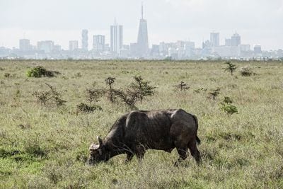
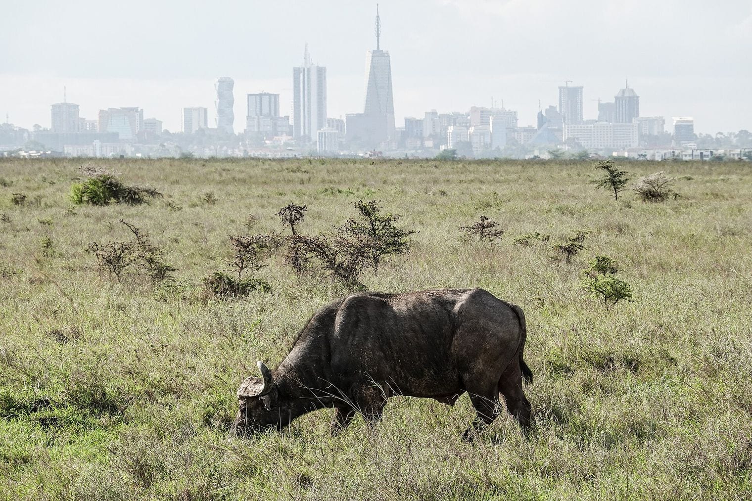
Nairobi is the only capital with a national park inside its city limits — the 117 km² Nairobi National Park sits immediately south of the centre, so the skyline appears behind grazing rhino and giraffe. See Nairobi.
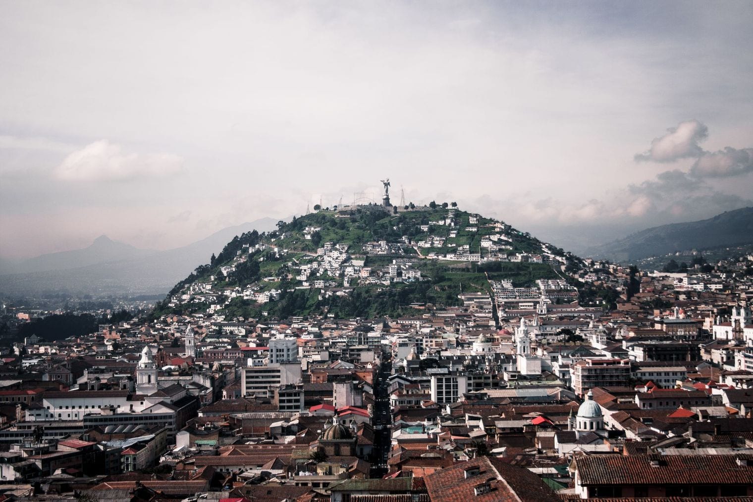
The highest capital and the highest official capital are two different cities — La Paz is Bolivia's seat of government rather than its constitutional capital, which leaves Quito holding the official title.
Thimphu has no traffic lights — a set was installed at the main junction and taken out again after the public objected, and white-gloved police have directed traffic by hand ever since.
Mexico City is sinking — it was built on the bed of a drained lake, and parts of the historic centre have dropped several metres over the past century.
Gitega is the newest capital on this list — Burundi moved its seat of government there in 2019, climbing roughly 700 m from Bujumbura on Lake Tanganyika.
At 3,640 m, La Paz is the highest seat of government on Earth, and it leads this list by a margin nothing else comes close to — 790 m clear of Quito in second place.
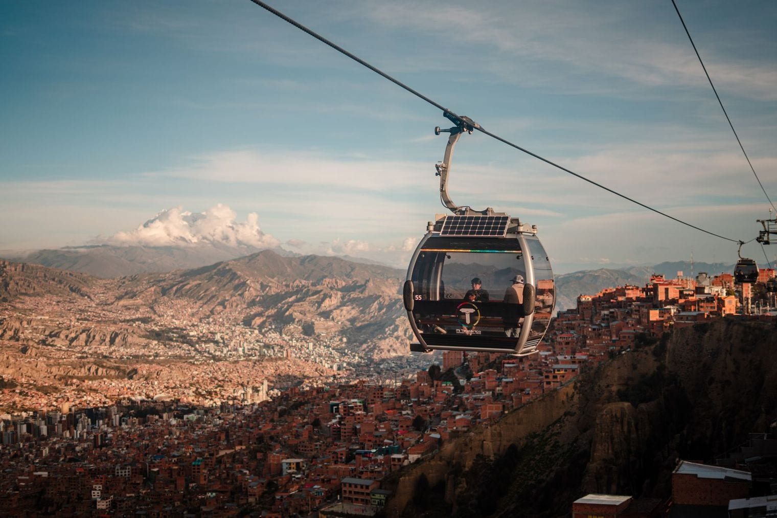
The Bolivian capital fills a canyon cut into the Altiplano, so the city itself rises and falls by something like 900 m from the rim down to the valley floor. Altitude effectively sets the price of property here: the lower and warmer you live, the more you pay, which inverts the usual logic of a hillside city.
That vertical sprawl is why La Paz commutes by cable car. An aerial network strung across the canyon carries passengers between the valley and El Alto on the rim above, which sits higher again at over 4,000 m. Visitors tend to feel the elevation within hours — the air holds roughly a third less oxygen than at sea level — and coca tea is offered everywhere as the local remedy. Give yourself a slow first day before attempting anything strenuous.
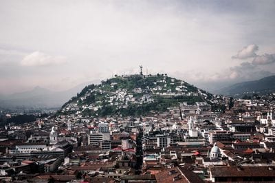
Quito stands at 2,850 m and holds a title of its own: it is the highest official capital city in the world. La Paz outranks it in altitude but is Bolivia's seat of government rather than its constitutional capital, a distinction Ecuador is happy to point out. The city runs as a long, narrow strip along the eastern slopes of the Pichincha volcano, hemmed in so tightly by the terrain that it is many times longer than it is wide.
Quito's colonial centre is among the best preserved in the Americas, and it was one of the very first sites inscribed on the UNESCO World Heritage list in 1978.
The equator passes just north of the city, which gives Quito something no other high capital has: twelve-hour days all year and no real seasons, only a wetter and a drier half of the year. Temperatures hover in the mid-teens Celsius almost permanently — cool for the tropics, and entirely down to the altitude.
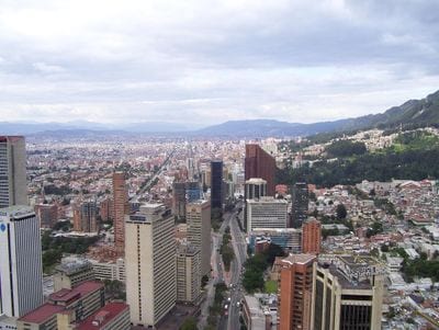
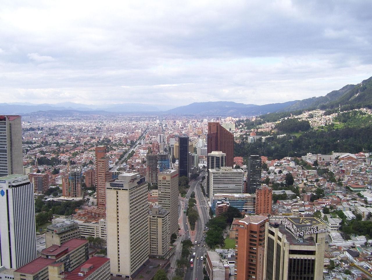
Bogotá sits at 2,625 m on a high plateau in the Eastern Andes known as the Sabana de Bogotá, a broad flat basin ringed by mountains that rise several hundred metres above the city. That plateau is what makes Bogotá unusual among high capitals: instead of clinging to a slope or filling a canyon, it spreads out across level ground, which is why it has been able to grow into one of the largest cities in South America.
The altitude gives Bogotá a climate that barely moves. Daytime temperatures sit around 14 °C year round, so the city has no summer and no winter — only wetter and drier months, and a running joke that the weather changes several times a day instead of by season. Two peaks on the eastern edge, Monserrate and Guadalupe, are the city's landmarks. A funicular and a cable car climb Monserrate to a church and a view back across the entire plateau.
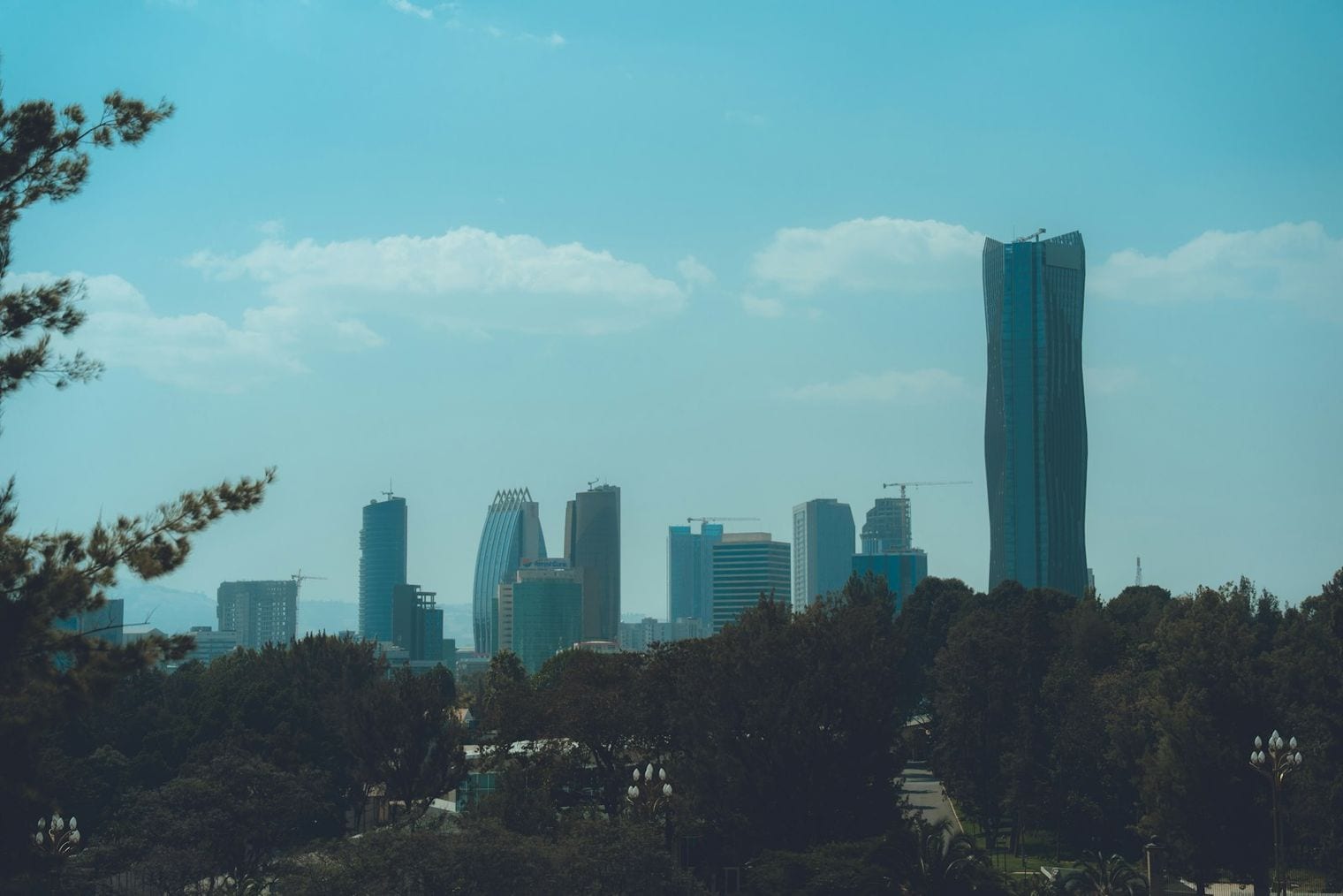
At 2,355 m, Addis Ababa is the highest capital city in Africa, and it keeps climbing from there: the city spreads up the foothills of Mount Entoto, where the northern suburbs pass 2,800 m. Emperor Menelik II established the city in 1886 at the urging of Empress Taytu, who wanted the site for its hot springs and for the mild air that the elevation guaranteed — a deliberate choice of altitude over convenience.
That height has made Addis Ababa an unlikely capital of distance running. The Ethiopian teams that dominate world middle- and long-distance events train in and around the city, and the trails on Entoto above it are part of the reason. Addis Ababa is also the diplomatic centre of the continent: the African Union has its headquarters here, which brings a permanent international presence to a city that most visitors arrive at knowing little about.
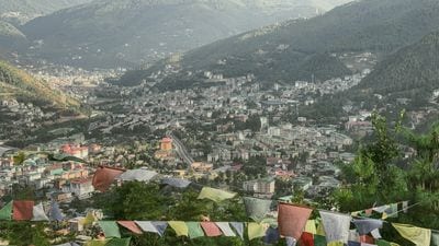
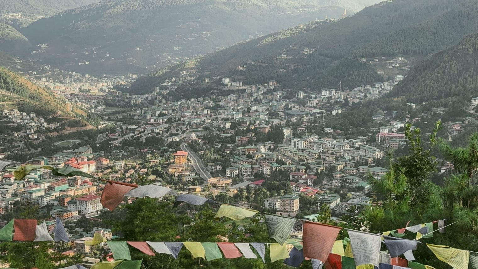
Thimphu occupies a narrow Himalayan valley at 2,334 m, strung out along the Wang Chhu river with the land rising steeply on both sides — the city's own limits run from around 2,250 m up past 2,600 m. It is the only capital in this ranking where buildings must follow a traditional architectural code, so even new offices and apartment blocks carry painted timber window frames and sloping roofs. The effect is a capital that looks deliberately of a piece.
Thimphu is also, famously, a capital with no traffic lights. A set was installed at the main junction and taken out again after the public objected, and white-gloved police have directed traffic from a painted pavilion ever since. Bhutan measures its progress by Gross National Happiness alongside economic output, and the capital reflects that: the pace is slow, the valley is quiet, and the enormous Buddha Dordenma statue looks down over the whole city from a ridge to the south.
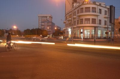
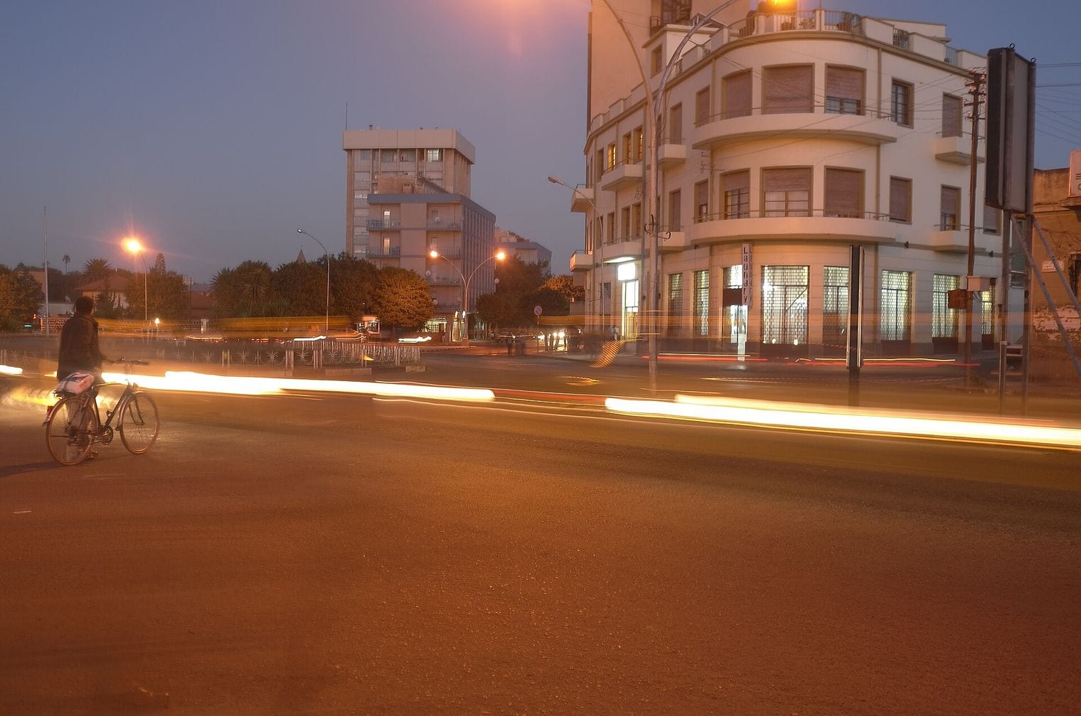
Asmara stands at 2,325 m on the lip of the Eritrean highlands, at the point where the plateau ends and the land falls away almost all of that height to the Red Sea. The old railway makes the descent in a long series of tunnels and switchbacks. That elevation is why a city barely 70 km from one of the hottest coastlines on Earth enjoys a mild, dry climate for most of the year.
Asmara is on the UNESCO World Heritage list for a reason no other capital here shares: its twentieth-century architecture. Italian planners rebuilt the city through the 1930s in modernist, futurist and art deco styles, and because remarkably little has been replaced since, the result is an unusually complete early-modernist city — cinemas, service stations, villas and all.
UNESCO added it to the World Heritage list in 2017. Walking Asmara feels less like visiting a preserved quarter than like walking through an entire city that stopped changing.
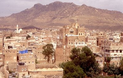
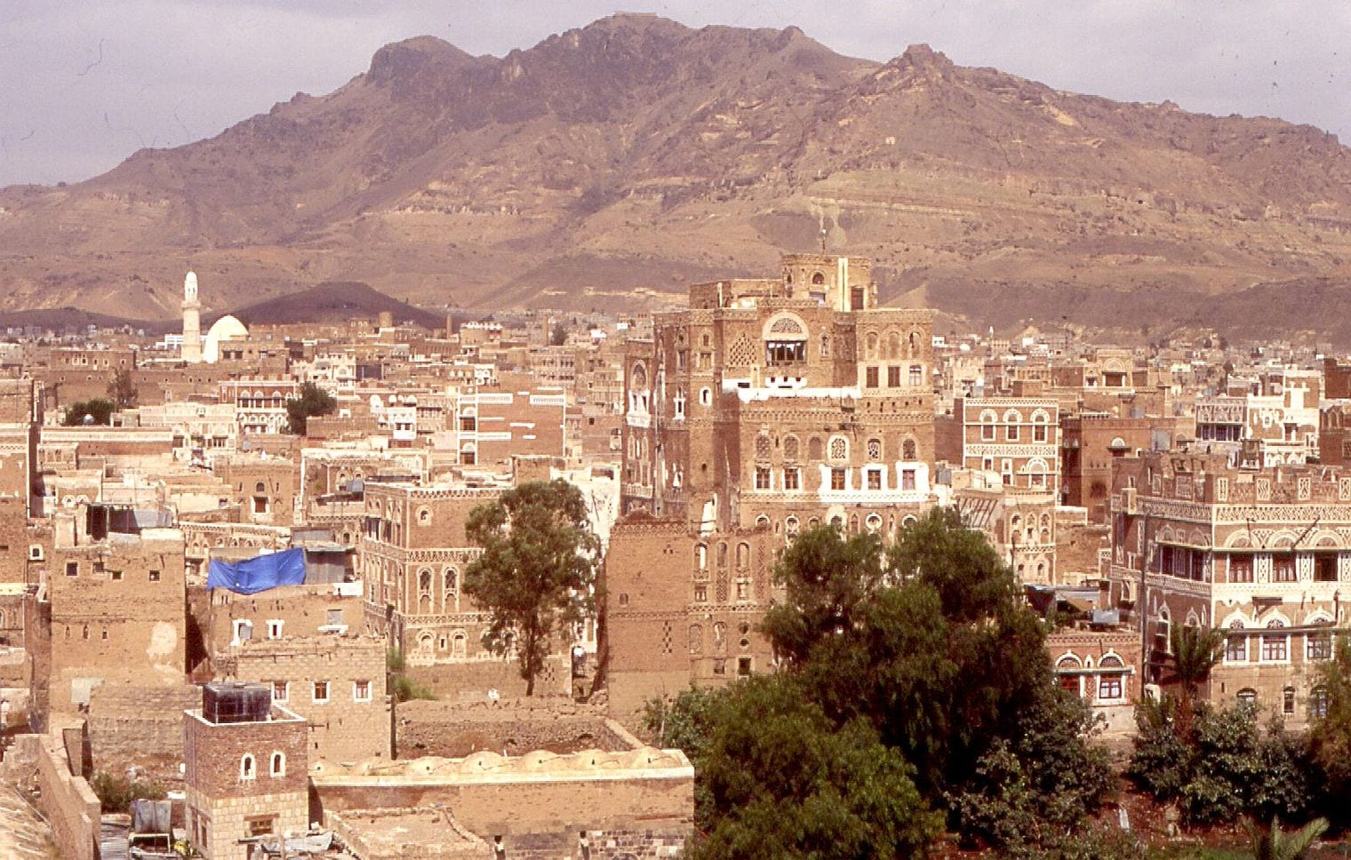
Sanaa sits at 2,250 m in a broad mountain basin on the Yemeni plateau, ringed by peaks climbing well above 3,000 m. It is one of the oldest continuously inhabited cities in the world, and the altitude is a large part of the reason: the basin is fertile, temperate and defensible in a country that is otherwise largely desert. Height here has meant water and agriculture as much as it has meant cool air.
The old city is what Sanaa is known for beyond the region. Its tower houses — several storeys of rammed earth and fired brick, decorated with white gypsum tracery around the windows — have been built the same way for centuries, and UNESCO inscribed the Old City of Sanaa as a World Heritage site in 1986, adding it to the List of World Heritage in Danger in 2015.
Yemen's conflict means the city is not a realistic destination for travellers, and Sanaa appears here on the elevation of the capital status its constitution retains.
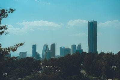
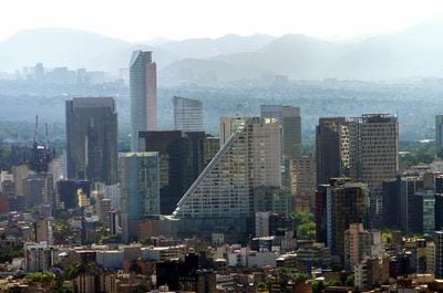
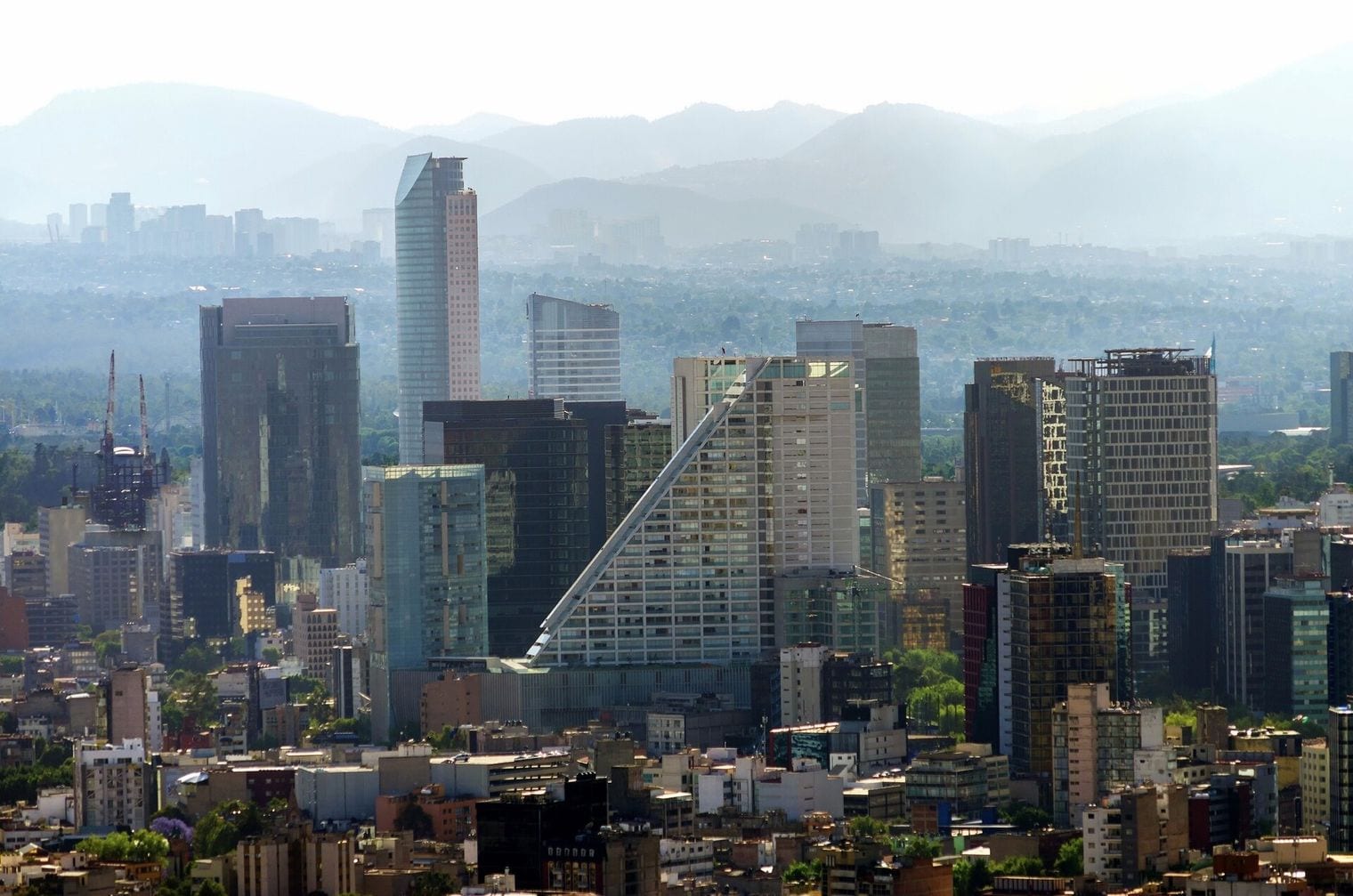
At 2,240 m, Mexico City is the giant of this ranking — no other capital combines this kind of altitude with a metropolitan area of more than twenty million people. It fills the Valley of Mexico, a basin enclosed by volcanic peaks including Popocatépetl and Iztaccíhuatl, both of which clear 5,000 m and stand visible from the city on clear days, snow-capped above a subtropical capital.
The city sits on the bed of a drained lake, and that is the source of its most famous problem: the ground is compacting, and parts of the historic centre have sunk several metres over the past century, with the Metropolitan Cathedral requiring active stabilisation as a result.
The altitude has consequences of its own — visiting athletes have long treated Mexico City as thin-air territory, and the 1968 Olympics held here produced a set of long-standing sprint and jump records precisely because of the reduced air resistance.
Nairobi's published elevation is 1,795 m, though the city is better understood as a gradient: it climbs from about 1,530 m in the industrial east to over 1,900 m in the western suburbs, with the central business district sitting nearer 1,670 m. Nairobi exists because of that height. It began as a depot on the railway inland from Mombasa, sited on the cool, well-watered plateau rather than the hot and malarial coast.
It is also the only capital in the world with a national park inside its city limits. Nairobi National Park covers roughly 117 km² immediately south of the centre — close enough that the city skyline appears in the background of photographs of grazing rhino and giraffe. The altitude gives Nairobi its climate too: a city almost on the equator that is rarely hot, with warm days and genuinely cool nights throughout the year.
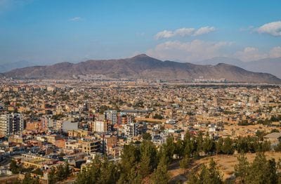
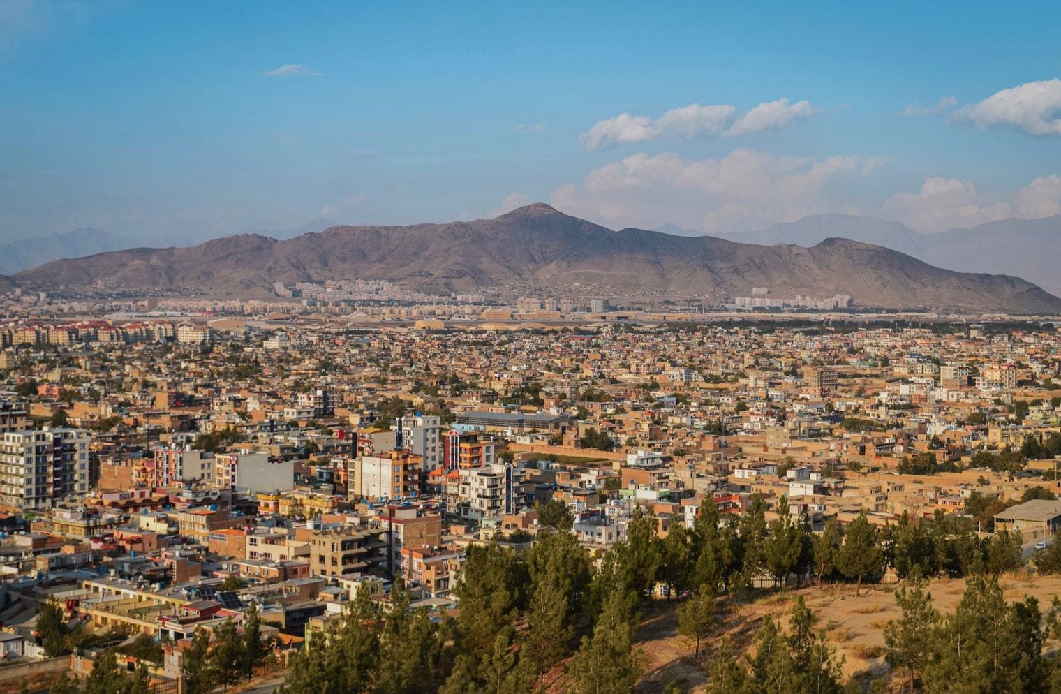
Just five metres of elevation separate Kabul at 1,790 m from Nairobi above it — a gap narrow enough that the order between them depends on which reference point each city publishes. Kabul lies in a narrow valley in the Hindu Kush, walled in by mountains rising above 3,000 m on nearly every side, with the Kabul river running through the middle of the city and the ridges never out of view.
That valley made Kabul one of the great crossroads of Asia. The routes between Central Asia and the Indian subcontinent converge here, which is why the city has been fought over for more than two thousand years, and why the remains of the Bala Hissar fortress and long stretches of ancient city wall still climb the ridges above it. Winters at this altitude are genuinely cold, with snow closing the surrounding passes for weeks at a time.
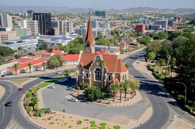
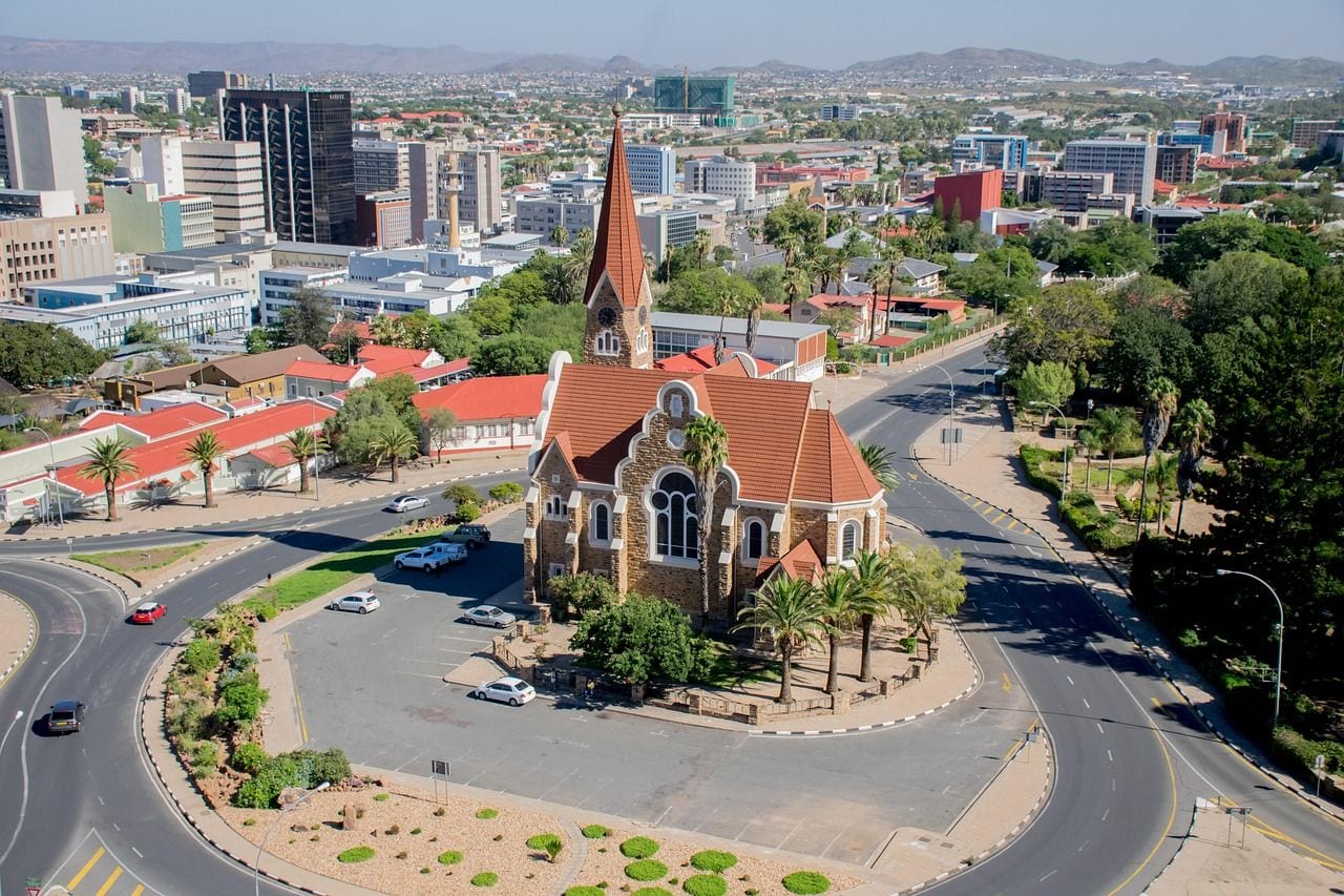
Windhoek sits at around 1,700 m in the Khomas Highland, a plateau of rolling hills in the centre of Namibia, with the Auas Mountains rising behind it to the south. It is one of the most isolated capitals anywhere — the nearest city of comparable size lies hundreds of kilometres away across desert and scrub — and the elevation is the main reason the site was settled at all: hot springs and higher, cooler ground in a very dry country.
That altitude and deep inland position give Windhoek a sharp daily temperature swing, with hot afternoons and genuinely cold winter nights. The skies are clear enough that Namibia has become one of the world's recognised destinations for stargazing, and the capital is the usual starting point for it. The city itself carries a visible German colonial layer in its churches and older public buildings, standing alongside its Namibian civic architecture.
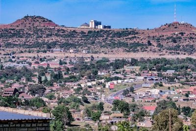
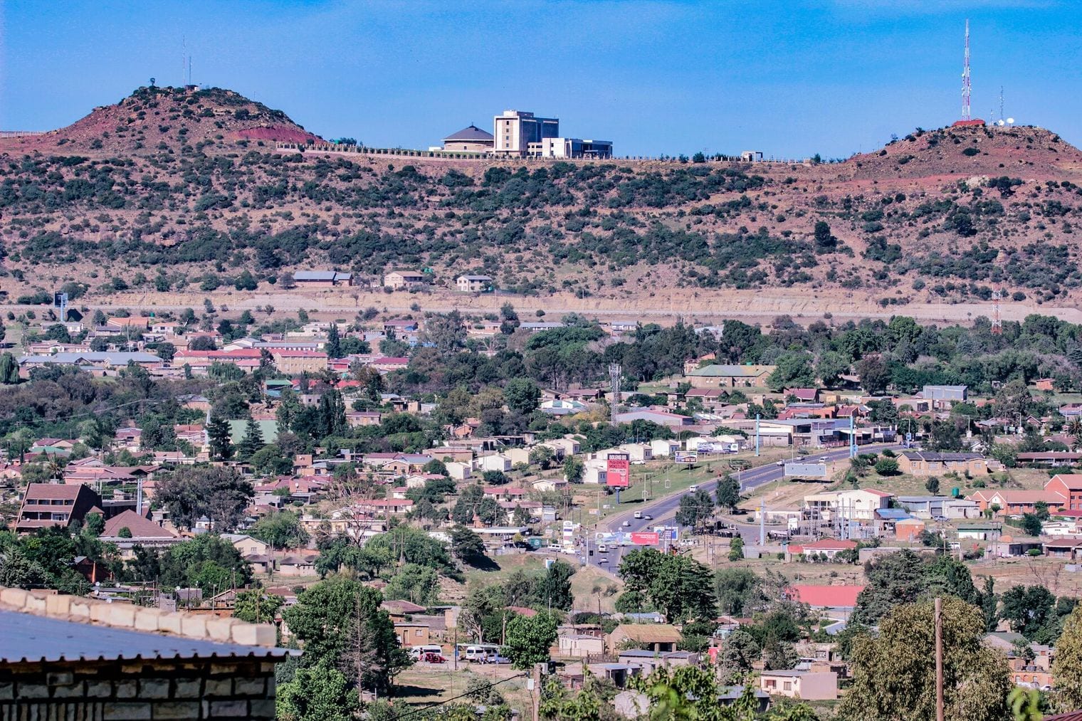
Maseru's 1,600 m makes it the lowest-lying part of the highest country on Earth. Lesotho is the only nation whose entire territory sits above 1,000 m, and its lowest point — around 1,400 m, where the Senqu and Makhaleng rivers meet — is higher than the lowest point of any other country in the world.
The capital sits out on the western edge, on the Caledon river that forms the border with South Africa, in what the Basotho call the lowlands.
Everything east of Maseru goes up. The Maloti and Drakensberg ranges fill the rest of the country and climb past 3,400 m, high enough that Lesotho has a ski resort and reliable winter snow. Lesotho is also one of just three countries completely surrounded by a single other country, which makes Maseru a border capital in the most literal sense — the bridge across into South Africa is a short walk from the centre of town.
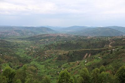
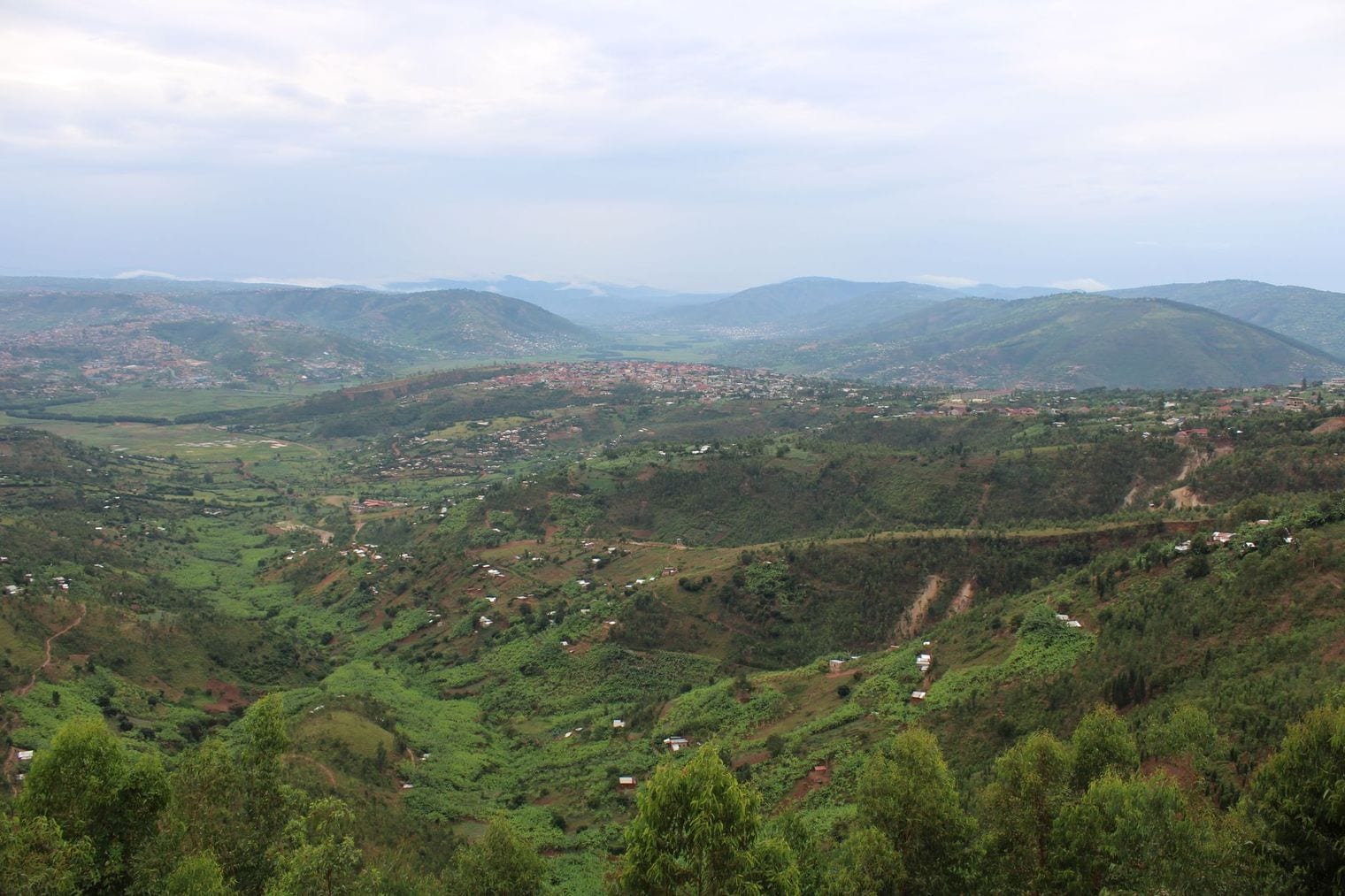
Kigali's 1,567 m is a central reading for a city that is really a collection of hills. Rwanda is called the land of a thousand hills, and its capital demonstrates exactly why: neighbourhoods sit along ridge tops separated by steep valleys, so two districts barely a kilometre apart as the crow flies can mean a long descent and a longer climb between them. The highest ground within the city passes 1,800 m.
Kigali is unusually central for a capital, sitting close to the geographic middle of Rwanda, which is part of why it was chosen when the country became independent. The altitude gives it a temperate climate less than two degrees south of the equator, with daytime temperatures in the twenties year round and cool evenings. The city has a strong reputation for cleanliness, helped by Umuganda, a national community work morning held on the last Saturday of every month.
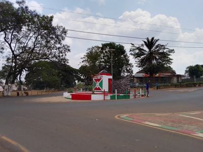
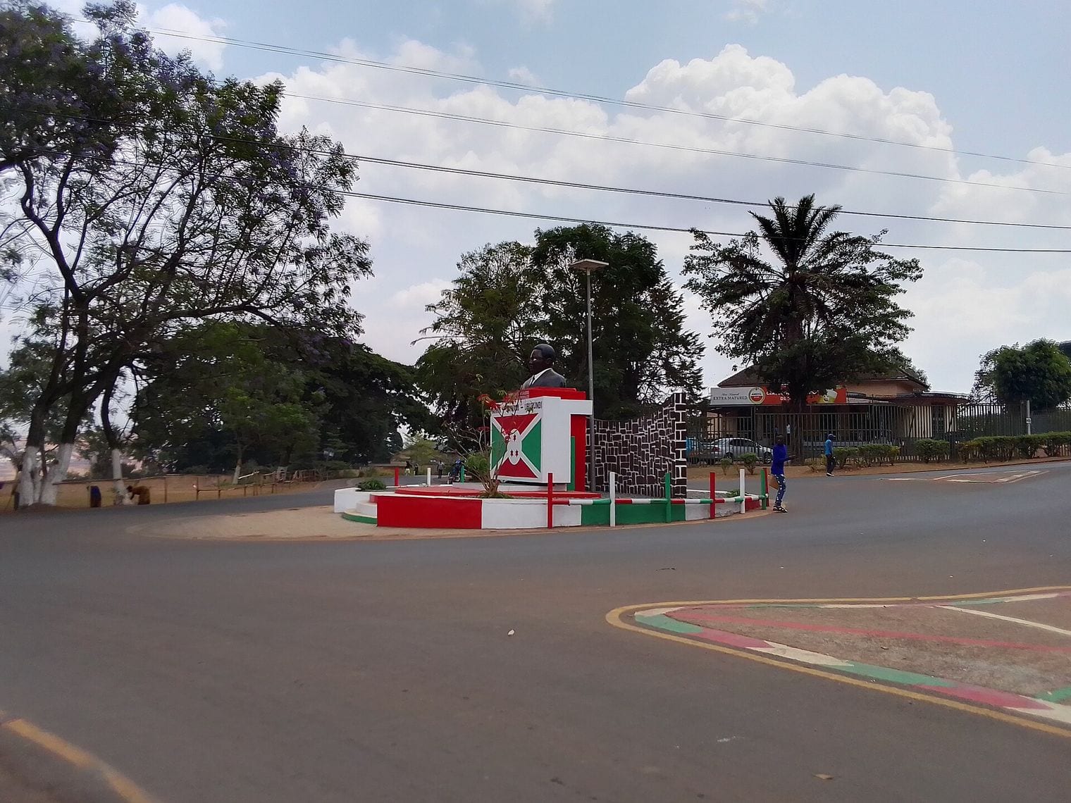
At 1,504 m, Gitega is the newest capital in this ranking. It took over as Burundi's political capital in 2019, when parliament voted to move the seat of government inland from Bujumbura on the shore of Lake Tanganyika — a shift of roughly 700 m upward and about 100 km east, onto the country's central plateau. Bujumbura continues as the economic capital and remains the larger of the two cities.
Gitega is not a new place, though, which is why the move was framed as a return rather than a relocation: it was the seat of the Burundian monarchy before and during the colonial period. The town sits among the hills and the tea and coffee country of the interior, and its national museum holds the country's collection of royal artefacts and traditional crafts. The elevation keeps it noticeably cooler than the lakeshore city it took over from.
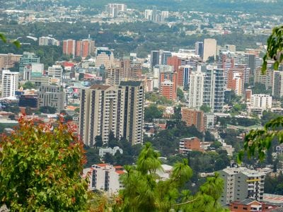
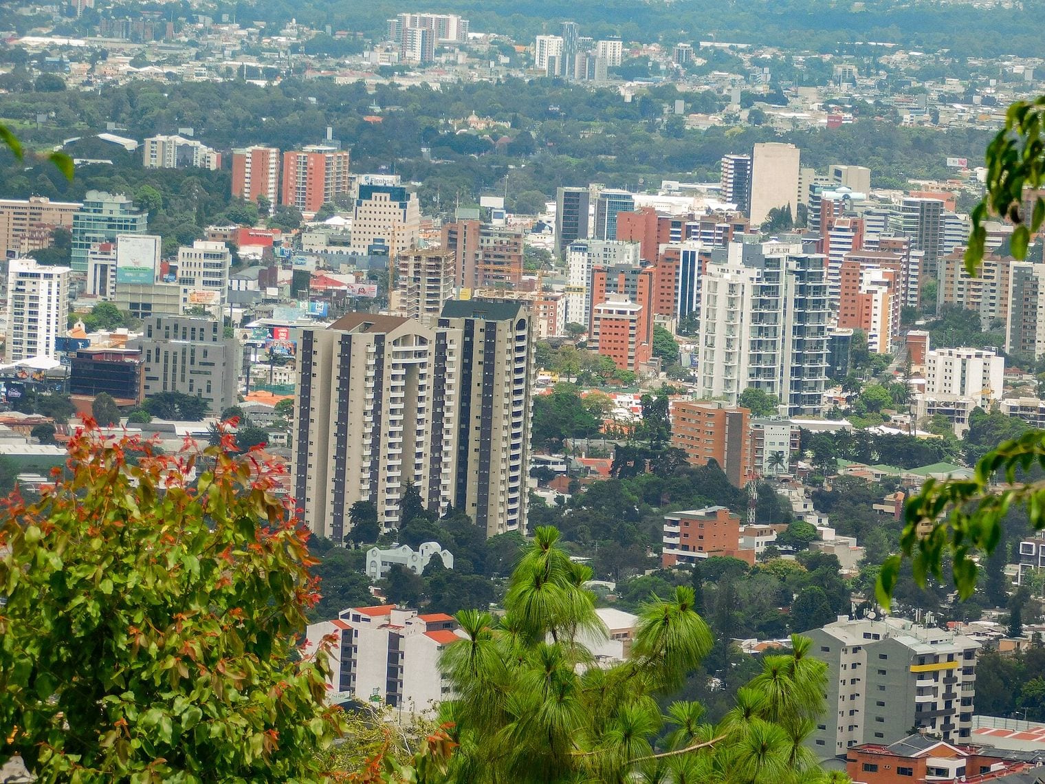
Guatemala City closes this list at 1,500 m, four metres behind Gitega — a gap narrow enough that either could reasonably be published above the other depending on the reference point used. The city fills a mountain valley in the central highlands and is surrounded by volcanoes: Pacaya, Agua and Fuego are all visible from the city, and Fuego is among the most consistently active volcanoes anywhere in the Americas.
Guatemala City is the capital because of an earthquake. The colonial capital at Antigua Guatemala was wrecked in 1773, and the administration moved to the present valley shortly afterwards — which is why Antigua survives as an unusually intact colonial town an hour to the west while the capital grew into the largest city in Central America. The altitude keeps the climate mild enough that Guatemala markets itself as the land of eternal spring.
FAQ: The World's Highest Capital Cities
What is the highest capital city in the world?
La Paz, Bolivia, at 3,640 m above sea level — around 790 m clear of Quito in second place. La Paz is Bolivia's seat of government rather than its constitutional capital, so Quito is often described instead as the highest official capital city in the world. Both claims are accurate; they simply measure different things.
How is a capital city's elevation measured?
At a single central reference point, because a mountain capital spans a wide range rather than one height. La Paz runs from roughly 3,200 m to 4,100 m across the city, and Nairobi from about 1,530 m to 1,930 m. Published figures differ between sources largely because they pick different reference points.
Why is Kathmandu not on this list?
Kathmandu sits at about 1,400 m, roughly 100 m below Guatemala City at the bottom of this ranking. Nepal's position beneath Everest suggests a very high capital, but the Kathmandu Valley itself is comparatively low — the Himalaya rise around the valley rather than underneath it.
Which is the highest capital city in Africa?
Addis Ababa, at 2,355 m, just ahead of Asmara at 2,325 m. Africa is the best-represented continent in this ranking with seven entries — Addis Ababa, Asmara, Nairobi, Windhoek, Maseru, Kigali and Gitega. The East African highlands and the Ethiopian plateau account for nearly all of them.
Does the altitude affect visitors to these cities?
Above roughly 2,500 m altitude sickness becomes a genuine consideration, which covers the top three cities here. The air in La Paz holds about a third less oxygen than at sea level. The usual advice is to arrive rested, take the first day slowly, avoid alcohol and drink plenty of water.