We may earn a commission if you book tickets, tours or a stay through a link on
this page, at no extra cost to you. It never affects which places we list or how
we rank them (how we make money).
The record
5,386 m17,671 ft
Sengli Co
China
The record
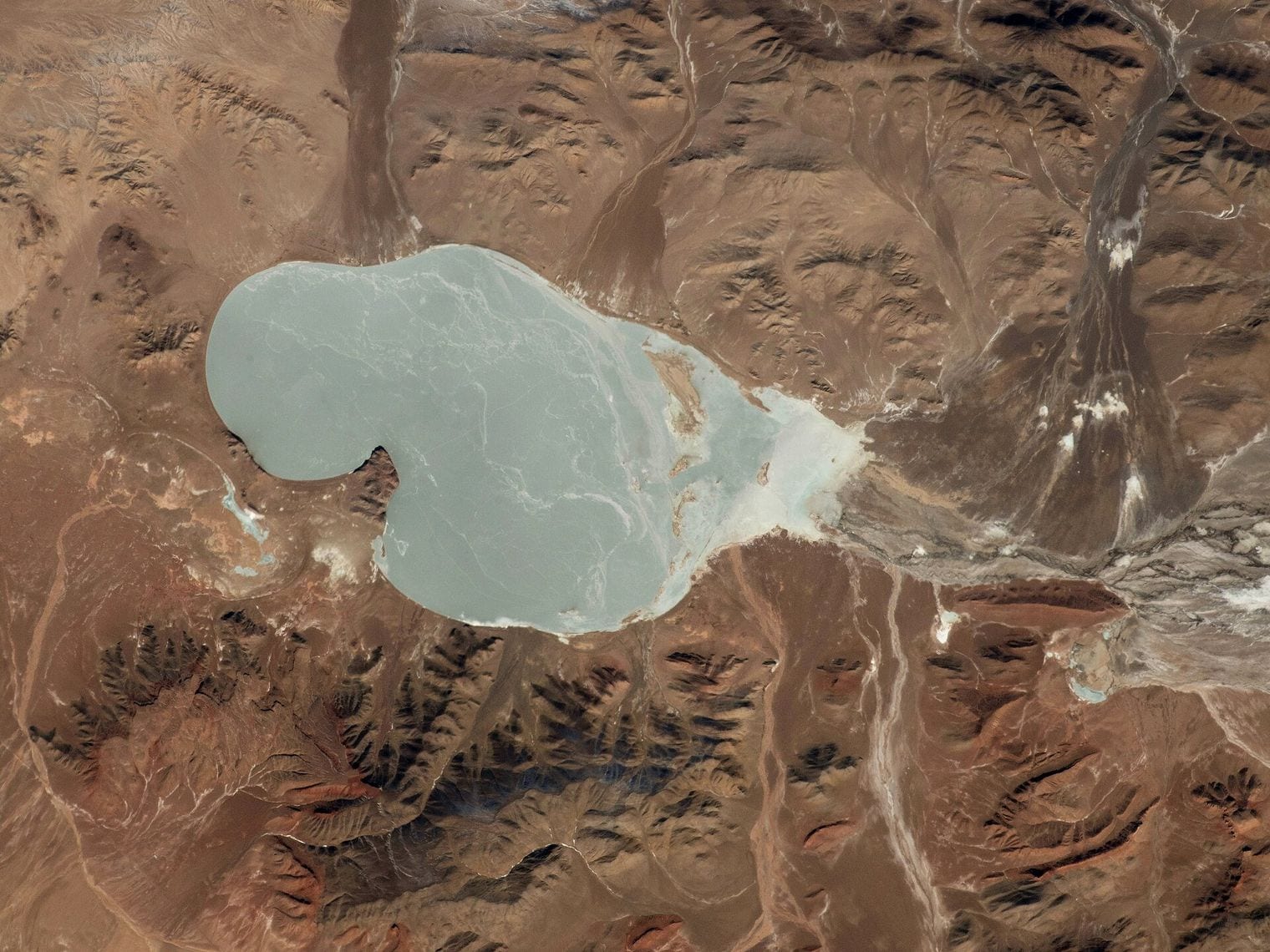
The highest lake in the world is Sengli Co, in China — 5,386 m (17,671 ft), surface elevation.
Source: Wikipedia (Sengli Co, current revision); SRTM30m DEM at lake centroid 5,387 m. Verified .
Ask which lake sits highest on Earth and you will usually be told Titicaca, which is short by more than a thousand metres, or the pool near the summit of Ojos del Salado, which is a puddle you could walk around in a minute.
This countdown applies a stricter test: a lake must be named, permanent and at least a hectare across, and it is ranked on surface elevation above sea level, with every figure checked against a satellite elevation model sampled at the lake's own coordinates.
That rules out the celebrated crater pools of the Andes, Ojos del Salado's included, and it rules out Lhagba Pool, listed second in the world for two decades until satellite imagery showed it was no longer there. What survives runs from 4,848 m to 5,386 m across five countries, and the highest of them is a lake almost nobody outside Tibet has heard of.
The highest water on Earth is not a lake at all — the pool below the summit of Ojos del Salado in Chile sits at about 6,390 m, but at roughly 100 m across it covers less than a hectare, which is why the registers that catalogue it call it a pool rather than a lake.
The world’s long-standing number two has vanished — Lhagba Pool, on the flanks of Everest at 6,368 m, was listed as the second-highest lake on the planet for two decades until an examination of satellite imagery concluded it had ceased to hold water.
Lake Titicaca is the wrong answer, but for an interesting reason — at 3,812 m it holds a genuine world record, as the highest lake navigable by large vessels, which is a different claim entirely. It sits more than 1,000 m below the cut-off for this list.
People live on the shore of number nine — Tuiwa, on Puma Yumco, is reckoned the second-highest permanent settlement on Earth after La Rinconada in Peru. Its herders drive flocks of sheep across the frozen lake each winter to graze island pastures.
The highest islands in the world are here — four of them break the surface of Orba Co at 5,209 m, in the emptiest corner of western Tibet.
Every figure on this list was re-checked against a satellite elevation model sampled at each lake’s own coordinates, and two entries moved as a result: the official signage at Gurudongmar Lake claims 5,430 m where orbit reads 5,148 m, and Tso Lhamo Lake is widely listed at 5,330 m where orbit reads 5,094 m.
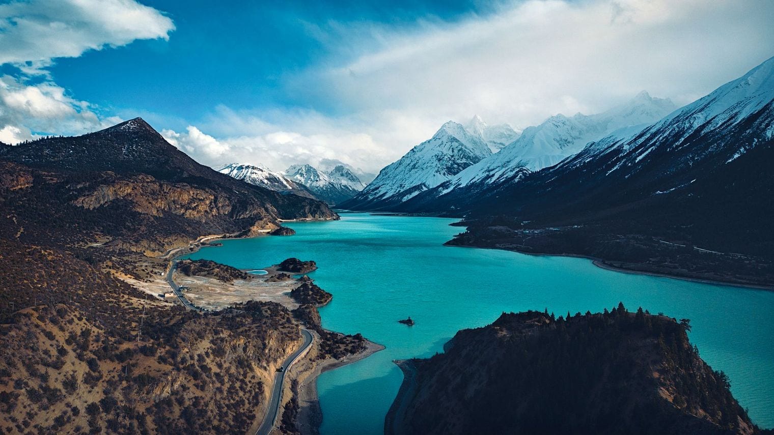
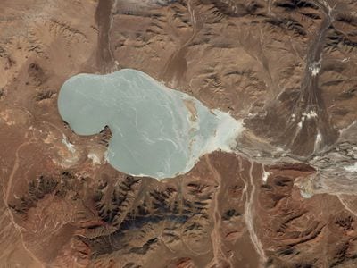
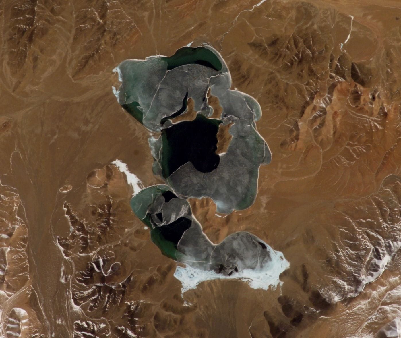
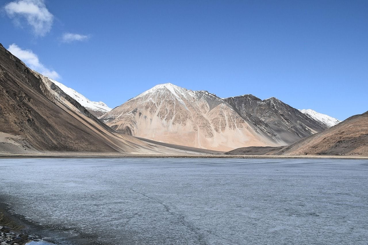
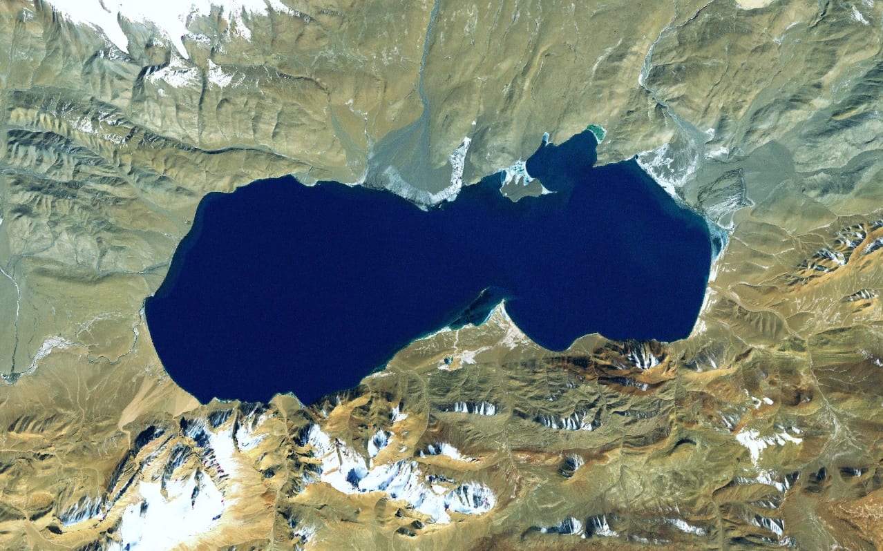
At 5,386 m, Sengli Co is the highest substantial lake anywhere on Earth, and the fact that it is not a household name says a great deal about how little of the Tibetan plateau most maps trouble to fill in. It lies in Zhongba County in Shigatse, in the far south-west of the region, a sheet of fresh water of around 78 square kilometres sitting higher than the summit of any mountain in North America outside Alaska.
What makes it remarkable is not only the altitude but the fact that it drains. Most lakes this high sit in closed basins and lose water only to evaporation, which is why so many of them turn saline.
Sengli Co runs north to south through the Laiwuzangbo and empties into the upper reaches of the Yarlung Tsangpo, the river that eventually becomes the Brahmaputra. It freezes over each winter and thaws each spring, and the satellite elevation model reads its surface at 5,387 m, within a metre of the published height.
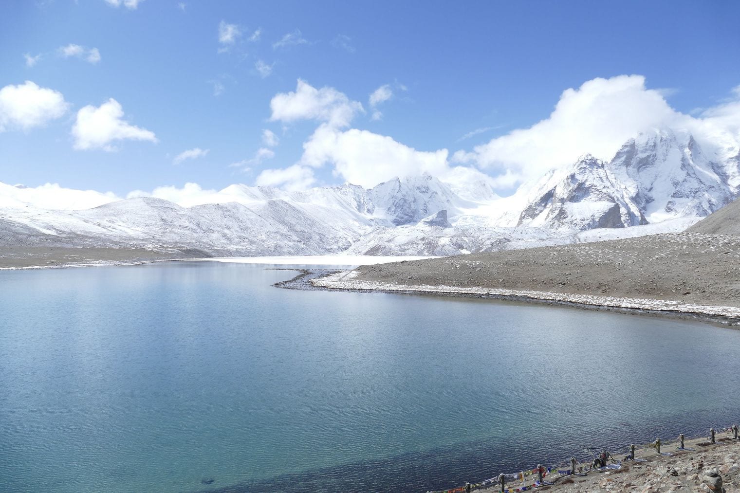
Khangchung Lake sits at 5,303 m in the far north-east of Sikkim, and it is the highest lake on this list that scientists actively monitor. Catalogued as GL-46 in the glacial-lake inventories of the Sikkim Himalaya, it is one of a handful of Indian lakes studied for outburst risk, because meltwater lakes at this altitude grow as the glaciers feeding them retreat.
Grow it has. Khangchung has expanded substantially over the past four decades and now covers about 1.87 square kilometres of deep blue water ringed by rock and ice. Reaching it means a long trek through some of the most remote country in the Indian Himalaya, which is why photographs of it are so scarce. The satellite elevation model agrees with the published height to the metre, one of the cleanest matches on this entire countdown.
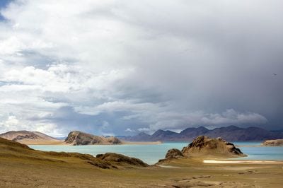
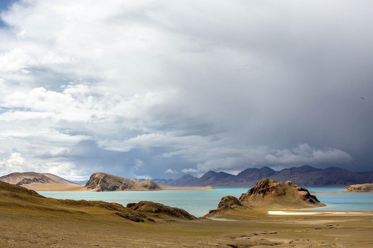
Orba Co lies at 5,209 m in Rutog County, in the Ngari prefecture of far western Tibet, and it has something no other lake this high can claim: islands. Four of them break its surface, which makes them among the highest islands anywhere in the world.
The setting is about as empty as land gets. Ngari is the least populated corner of Tibet, a high desert of rock and salt where the horizon runs flat for tens of kilometres before the mountains begin.
Orba Co is a large lake by any measure, freezing hard in winter and holding its shape through a summer that barely warms it. The satellite elevation model reads 5,194 m at its centre, fifteen metres under the published figure and comfortably inside the margin that surveys of country this remote tend to carry.
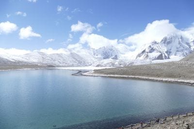
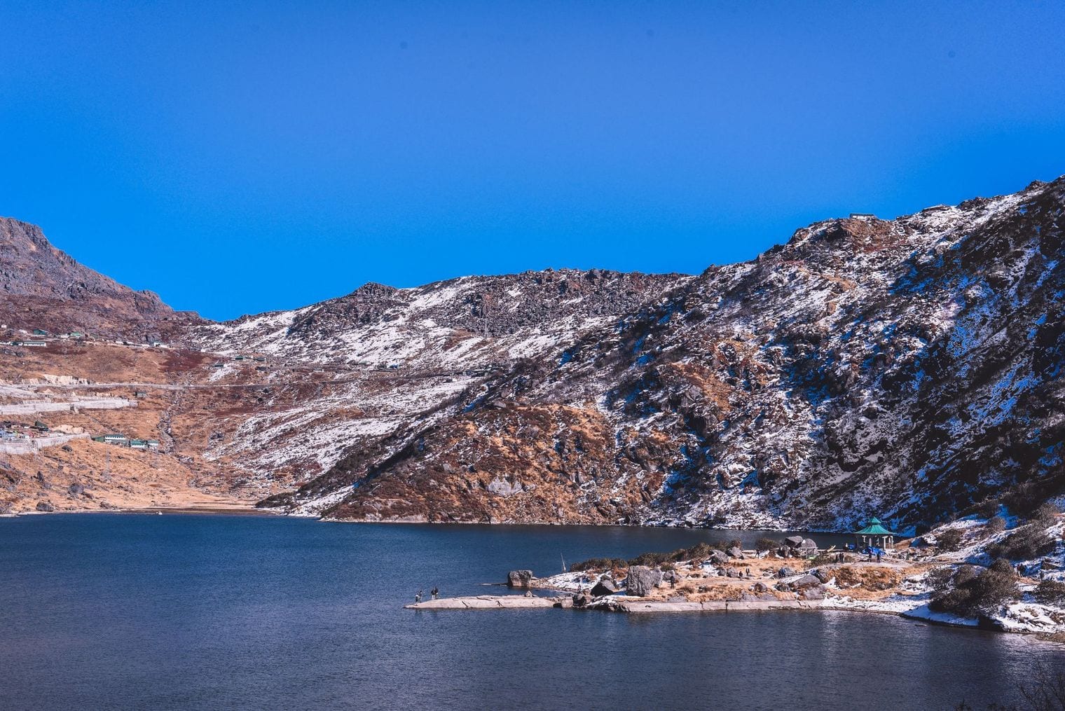
Gurudongmar Lake sits at 5,148 m in north Sikkim, though you will see it advertised as considerably higher. The Government of Sikkim's own signage puts it at 5,430 m, but terrain maps and satellite elevation models both read close to 5,148 m, and that is the figure this countdown ranks on, because it is the one that can be checked independently.
Whatever the exact number, it is a startling place. The lake is sacred to Buddhists, Sikhs and Hindus alike, and takes its name from Guru Padmasambhava, who is said to have passed this way and blessed a portion of the water so that it would not freeze.
It sits inside a restricted border zone, so visitors need permits, and the thin air means most are advised not to linger. Around 1.18 square kilometres of it stay frozen for much of the year.
Tso Lhamo Lake lies at 5,100 m a short distance from Gurudongmar, fed by the same glaciers, and it is the source of the Teesta, the river that drains Sikkim before joining the Brahmaputra in Bangladesh. Joseph Dalton Hooker recorded it as Cholamoo when he travelled the region in the 1850s, and the older spelling still turns up on maps today.
It is shallow for its size, about 5.5 m at its deepest, spread across a little over a square kilometre of high plateau with the Tibetan border on its far shore. Published elevations range from 5,100 m up to 5,486 m depending on which source you consult, a spread of nearly four hundred metres. The satellite model reads 5,094 m, which is why the lower figure is the one used here.
Guozha Lake covers more than 250 square kilometres at 5,080 m, which makes it comfortably the largest body of water on this countdown, an inland sea sitting a kilometre higher than the highest point in the Alps. Also known as Kotra Tso, it is a glacial lake fed by the Kunlun range, and it drops to nearly 82 m at its deepest point.
It lies in Rutog County, on the Aksai Chin plateau, territory administered by China and claimed by India since the war of 1962, and effectively closed to travellers as a result. Almost everything known about it comes from satellite survey rather than fieldwork, which is part of why a lake this size barely registers outside specialist literature. The elevation model matches its published height exactly.
Hongshan Lake sits at 5,060 m and spreads across roughly 24 square kilometres of the Aksai Chin plateau, an alkaline lake in a basin with no outlet. Water arrives as snowmelt and leaves only by evaporation, and over thousands of years that has concentrated the salts and minerals which give lakes of this kind their strange colouring.
Like Guozha to its north-east, it lies in the disputed Aksai Chin, administered by China and claimed by India, and it freezes through the winter months. The nearest settlement of any size is hundreds of kilometres away across a plateau where the ground stays frozen for much of the year and almost nothing grows. It is one of several large lakes in this corner of the map that have never been studied on the ground.
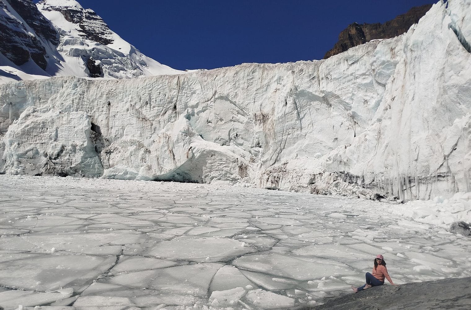
At 5,038 m, Laguna Glaciar is the highest lake in the Americas to meet this list's test, and the only entry outside Asia in the top ten. It sits above the town of Sorata in Bolivia's Cordillera Real, in a rock basin gouged out beneath the glaciers of Illampu, and it has grown noticeably over the past half-century as that ice has pulled back.
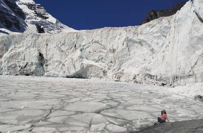
The approach is a serious two- or three-day trek from Sorata, climbing through cloud forest and then out onto bare moraine, and those who make it find a lake the colour of milk sitting directly beneath a wall of ice.
At roughly 20 hectares it is small next to the Tibetan giants further up this list, but it clears the one-hectare bar many times over, and it is the highest water on this list that a trekker can reach without leaving the Americas.
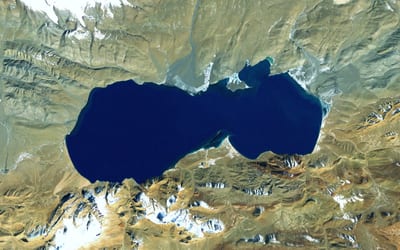
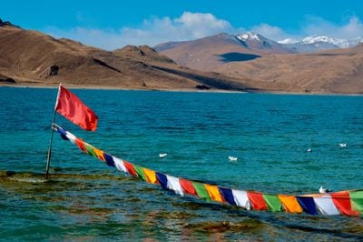
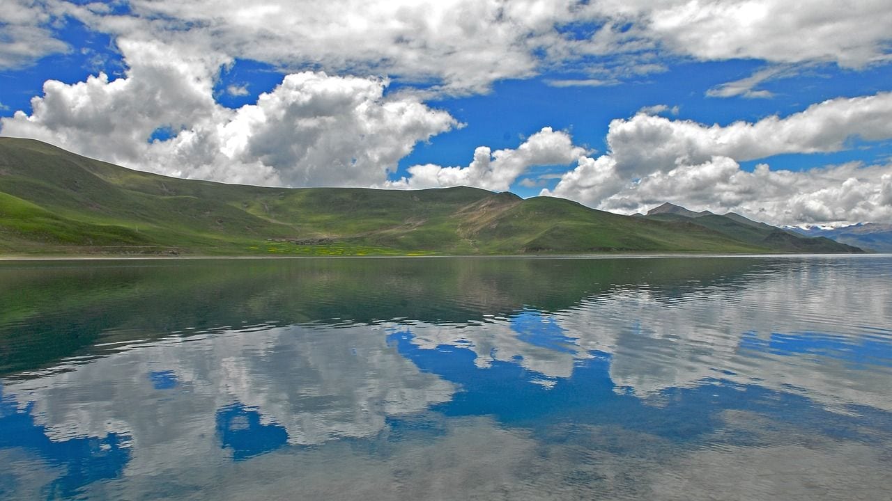
Puma Yumco stretches across roughly 285 square kilometres at 5,030 m, which makes it one of the largest high lakes in Tibet and, unlike almost everything else on this list, a place where people actually live. The village of Tuiwa on its shore is among the highest permanently inhabited settlements on Earth.
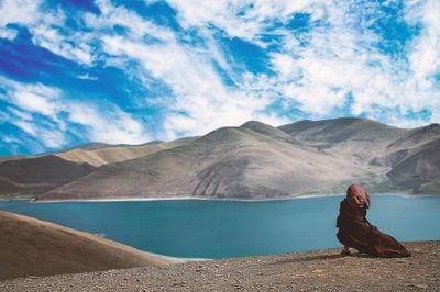
Its herders drive sheep out across the frozen lake each winter to reach island pastures, a slow procession of animals moving over ice at more than five thousand metres, and it is one of the more extraordinary sights in the Himalaya. The lake lies in Nagarze County in Shannan prefecture, south-east of Yamdrok, and its water reads a deep, startling blue against brown hills. The elevation model puts its surface at 5,013 m.
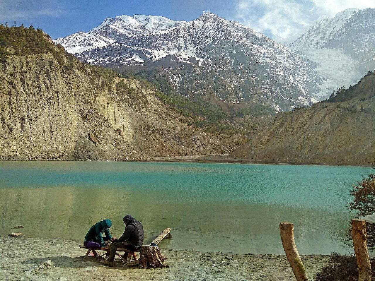
Kajin Sara sits at 5,020 m in the Manang district of Nepal and is the newest entry on this list by a wide margin. A group of mountaineers brought it to wider attention only in 2019, and it was promoted for a time as a candidate for the world's highest lake. It is not that, but it is genuinely high and genuinely large, running about 1,500 m long by 600 m wide.
The figure that circulated then put it at 5,200 m, which the satellite record does not support: the elevation model reads 4,989 m. Locally the lake is also called Singar, a name referring to the yak and sheep grazed on the slopes around it. It is reached on a multi-day trek from Chame in the Annapurna region, and the route to it is still lightly travelled enough that most seasons see only a handful of visitors.
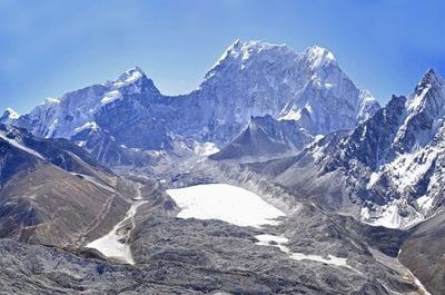
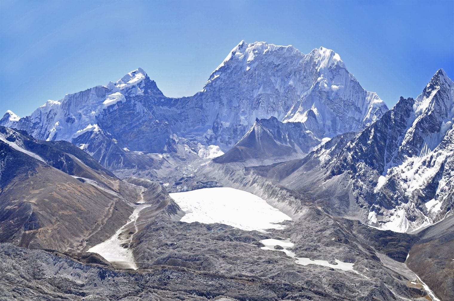
Imja Tsho lies at 5,010 m below Everest's southern approaches, and its most striking feature is that within living memory it was not there at all. In 1960 the site held nothing but the Imja Glacier. As the ice retreated, meltwater pooled behind the moraine, and the lake now covers more than a square kilometre.
That growth made it one of the most closely watched lakes in the Himalaya. Engineers cut a controlled channel through the moraine in 2016 to lower the water level and reduce the danger to the Khumbu villages downstream, an extraordinary piece of engineering carried out at five thousand metres. Trekkers on the Everest Base Camp route can detour to see it from the Chukhung valley, which makes it the most accessible of the Nepali entries here.
Lhamo La-tso sits at 4,950 m and is, by some distance, the most spiritually significant lake in Tibet. For centuries the regents charged with finding each new Dalai Lama have travelled here to look into its water for visions, and the search that led to the present Dalai Lama began with a vision reported at this lake in the 1930s.
It is small, around 23 hectares, and held in a steep bowl of mountains in Gyaca County east of Lhasa. Pilgrims still make the difficult journey up to the ridge above it, where the viewing point looks straight down onto the surface. The lake is frozen for much of the year and the light on it shifts constantly with the weather, which is presumably part of why people have seen so much in it.
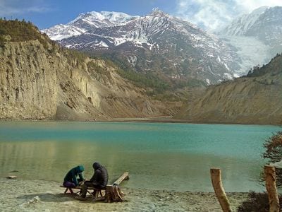
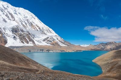
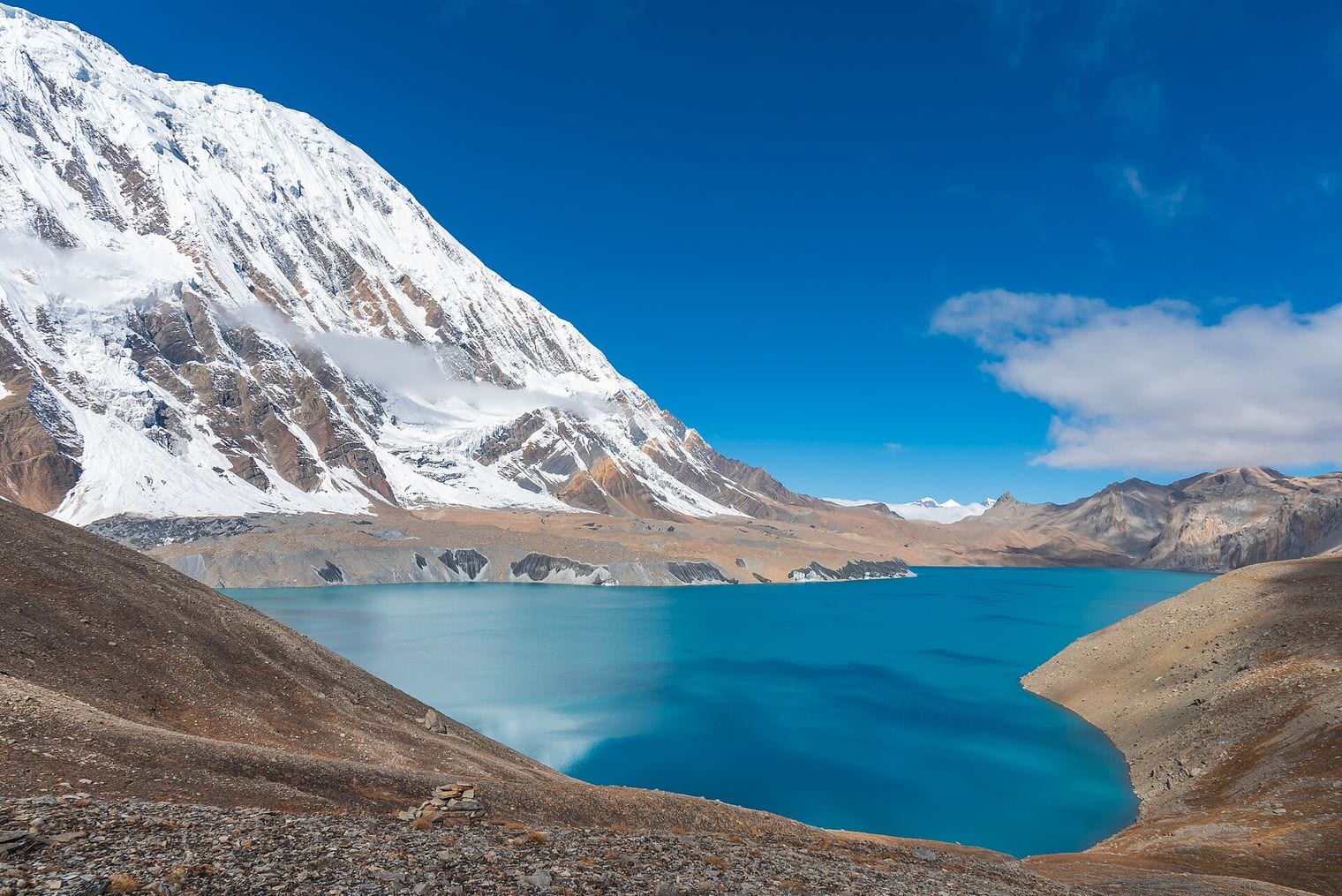
Tilicho Lake spreads across 4.8 square kilometres at 4,919 m in the Annapurna range, and for years Nepal promoted it as the highest lake in the world. That was never quite right, but it is comfortably the most visited lake on this countdown and by far the most photographed.
It sits in a vast amphitheatre below Tilicho Peak, fed entirely by glaciers, and its water is an opaque, chalky turquoise from the rock flour they carry down. The trek in from Manang is a well-established side trip off the Annapurna Circuit, crossing landslide-prone slopes to a base camp before the final climb to the shore. A Russian team dived in it in 2000 and claimed the highest scuba dive attempted anywhere at that point.
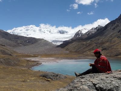
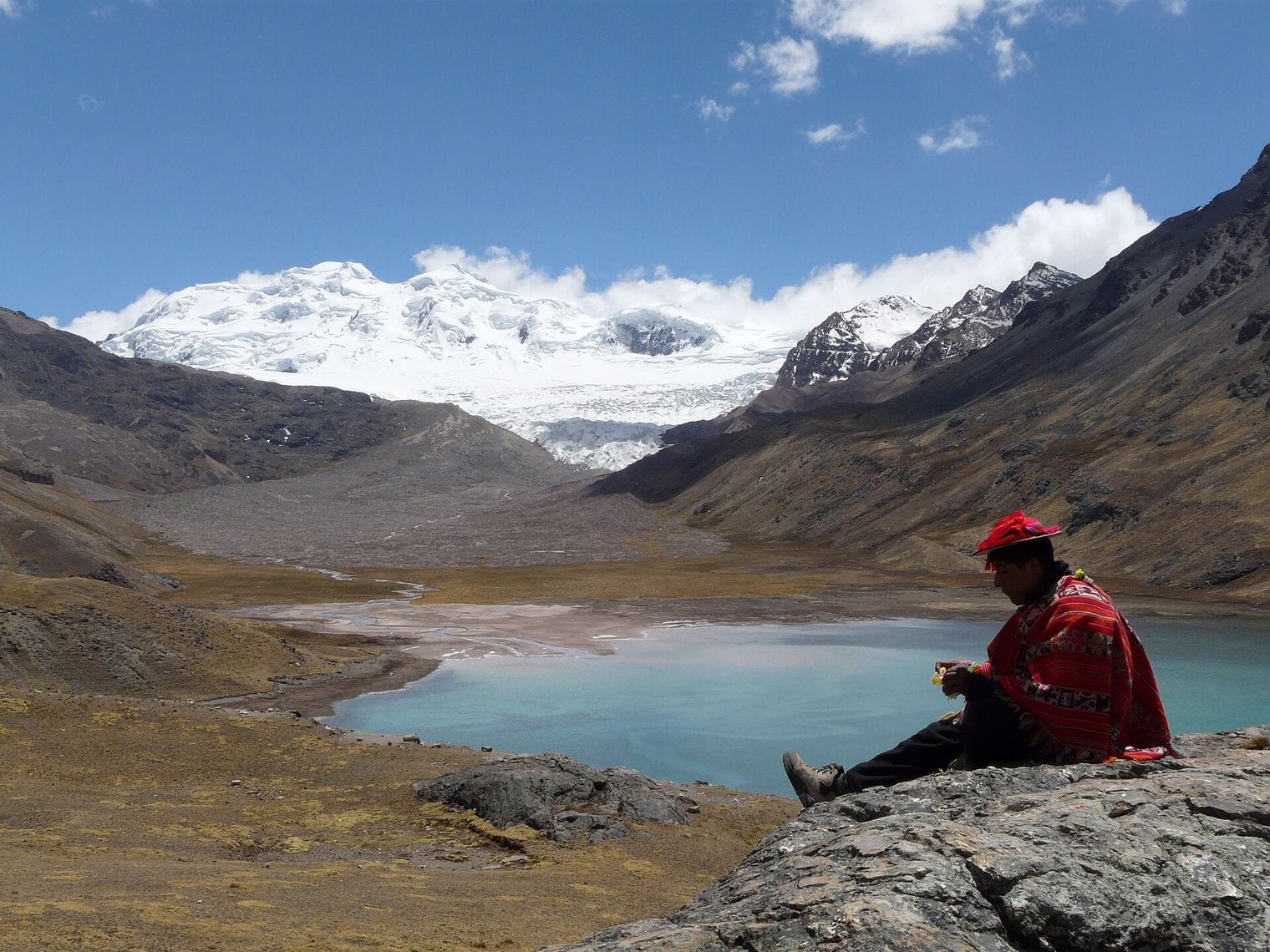
Lake Sibinacocha runs for some 15 km at 4,869 m in Peru's Cordillera Vilcanota, a long ribbon of water east of Cusco and the highest lake of its size anywhere in the Americas. It is fed in part by meltwater from the Quelccaya ice cap, the largest tropical glacier on Earth, and the watershed around it has become an important site for high-altitude ecological research.
Its shores are grazing country for alpaca and vicuna, and the lake supports a substantial colony of Andean flamingos alongside giant coots, life at an altitude where you might reasonably expect none. The Ausangate trekking circuit passes within reach of it, which makes it one of the few entries here that an ordinarily fit traveller can realistically stand beside. The elevation model reads 4,868 m, a one-metre match with the published figure.
Aksai Chin Lake closes this countdown at 4,848 m, spread across 166 square kilometres of the plateau that gives it its name. It is an endorheic salt lake, with nothing flowing out of it, in one of the most inaccessible and most contested places on Earth.
Aksai Chin is administered by China and claimed by India, and the highway China built across it in the 1950s was among the triggers for the 1962 war. The lake itself sits in a landscape almost devoid of vegetation, where the average elevation tops 4,800 m and the wind runs unbroken for hundreds of kilometres. Almost nobody sees it; what is known comes from satellites and from the handful of survey expeditions that have crossed the plateau.
FAQ: The World's Highest Lakes
What is the highest lake in the world?
On the test this list applies — named, permanent and at least a hectare across — it is Sengli Co, at 5,386 m in Zhongba County in south-west Tibet. It covers around 78 square kilometres and drains south into the upper Yarlung Tsangpo. Smaller pools of water do sit higher, but none of them qualify as lakes.
Is Lake Titicaca the highest lake in the world?
No, and it is not close. Titicaca sits at 3,812 m, more than a thousand metres below the lowest entry on this list. Its real record is a different one: it is the highest lake in the world navigable by large commercial vessels. That is a claim about shipping rather than altitude, and the two get confused constantly.
Why is the crater lake on Ojos del Salado not number one?
The pool near its summit does sit higher, at roughly 6,390 m, and it is genuinely the highest body of water on the planet. It measures only about 100 m across, which puts it under a hectare, and the registers that catalogue high water classify it as a pool rather than a lake for exactly that reason.
Which of the world's highest lakes can you actually visit?
Tilicho Lake in Nepal is the most accessible, a well-trodden side trip off the Annapurna Circuit. Imja Tsho can be reached from the Everest Base Camp route, Gurudongmar Lake and Tso Lhamo Lake by permit from north Sikkim, and Laguna Glaciar on a two- or three-day trek up from Sorata in Bolivia.
What is the highest lake in India?
On this list's test it is Khangchung Lake at 5,303 m, ahead of Gurudongmar Lake at 5,148 m and Tso Lhamo Lake at 5,100 m. All three lie in the same corner of Mangan district in north Sikkim near the Tibetan border, and all three sit inside a restricted zone that requires permits.
Why are so many of the world's highest lakes in Tibet?
The Tibetan plateau is the largest expanse of high ground on Earth, averaging over 4,500 m across an area roughly the size of western Europe. That gives it far more room for large lakes above 5,000 m than the narrow ridges of the Andes or the Himalaya, which is why seven of these fifteen sit in China.