We may earn a commission if you book tickets, tours or a stay through a link on
this page, at no extra cost to you. It never affects which places we list or how
we rank them (how we make money).
The record
14,200,000 km²5,482,651 sq mi
Antarctic Desert
Antarctica
The record
The largest desert in the world is the Antarctic Desert, in Antarctica — 14,200,000 km² (5,482,651 sq mi), desert area.
Source: Wikipedia (Antarctica). Verified .
The Sahara is not the largest desert on Earth, and it is not even in the top two. A desert is defined by how little water falls on it rather than by how hot it gets: any region receiving under 250 millimetres of precipitation a year qualifies, which puts the frozen Antarctic and Arctic caps above every dune field on the planet. Ranked that way, the twelve largest run from 14,200,000 km² down to 350,000 km² and touch twenty-six countries.
Two rules decide the order. One aridity definition applies to every row, so the polar deserts are ranked alongside the hot ones. And a recognised aggregate is counted once — Australia's ten named deserts are ranked together as the Great Australian Desert, which is why the Great Victoria has no separate line, and why the Kalahari enters at the size of the desert itself rather than of the far larger basin around it.
The two largest deserts on Earth are frozen — the Antarctic and Arctic deserts cover more than 28 million km² between them, over three times the area of the Sahara.
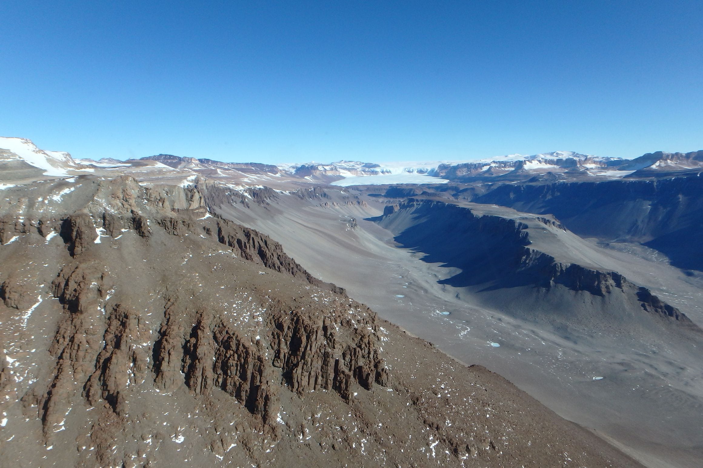
A desert is defined by precipitation, not temperature — anywhere receiving under 250 mm of water a year qualifies, which is why the Antarctic Desert and its ice-free McMurdo Dry Valleys rank above every dune field on the planet.
Sand is the exception, not the rule. Sand seas cover only a minority of the Sahara; most of it is gravel plain, rock plateau and mountain, rising to 3,415 m at Mount Koussi in Chad.
Australia’s ten named deserts are counted as one region — Geoscience Australia puts the Great Australian Desert at 1,371,000 km², about 18 per cent of the mainland.
At 14,200,000 km², the Antarctic Desert is the largest desert on Earth, and it clears the Sahara by five million square kilometres — more than half the Sahara again. It earns the title on rainfall alone.
The interior receives only a few centimetres of snow a year measured as water, less than falls across much of the Sahara, and the air above the polar plateau is so cold that it holds almost no moisture at all. What little does arrive rarely leaves, which is how a place that is effectively rainless ends up buried under kilometres of ice.
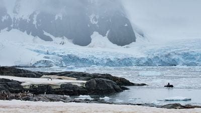
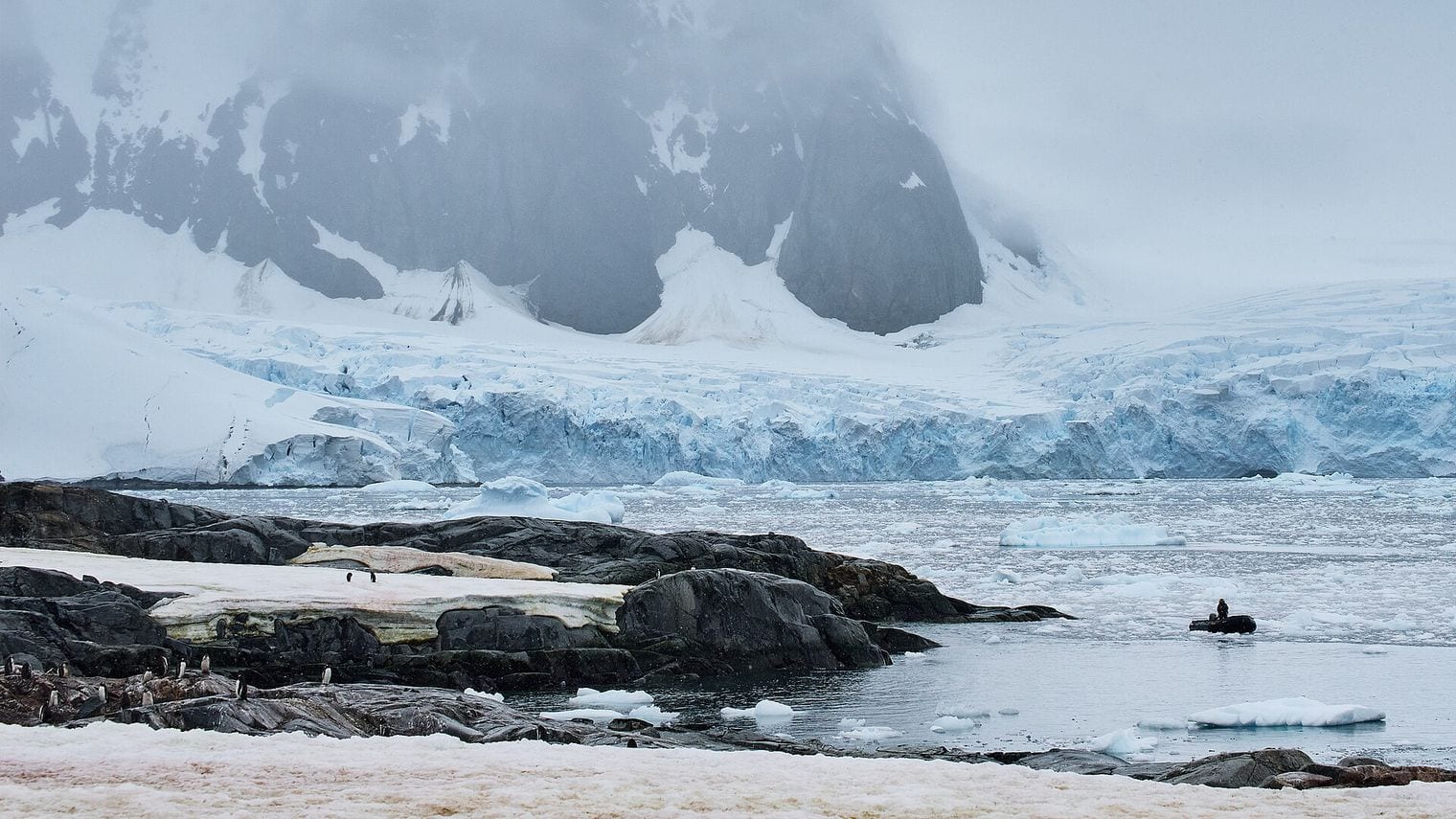
The clearest proof sits in the McMurdo Dry Valleys, a run of ice-free basins where wind strips snow away faster than it can settle and bare rock and gravel are left exposed. Most visitors meet the continent from the other side, on expedition ships crossing the Drake Passage to the Antarctic Peninsula, where the desert reads as glacier fronts, penguin colonies and the occasional research station rather than as anything a traveller would recognise as arid.
The Arctic Desert covers 13,900,000 km², which puts the planet's second-largest desert at the opposite pole from its first. It spreads across the top of eight countries — the bulk of it over Russia, Canada and Greenland, with the rest reaching into Norway, Iceland, Sweden, Finland and Alaska. The same rule that admits Antarctica admits this: precipitation across the High Arctic is low enough to qualify, and the cold locks away what does fall.
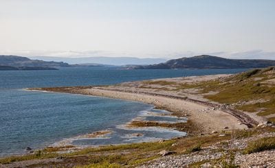
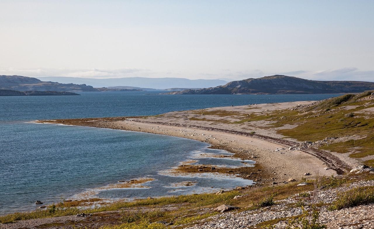
On the ground it looks nothing like a dune field. This is a landscape of bare rock, gravel flats, thin soils and ice, with plant life reduced to mosses, lichens and a few hardy cushion plants that hug the ground out of the wind.
It is also by far the more reachable of the two polar deserts: Svalbard, Greenland and the Canadian Arctic all run summer visitor seasons, so a traveller can stand in the world's second-largest desert without ever boarding an expedition ship.
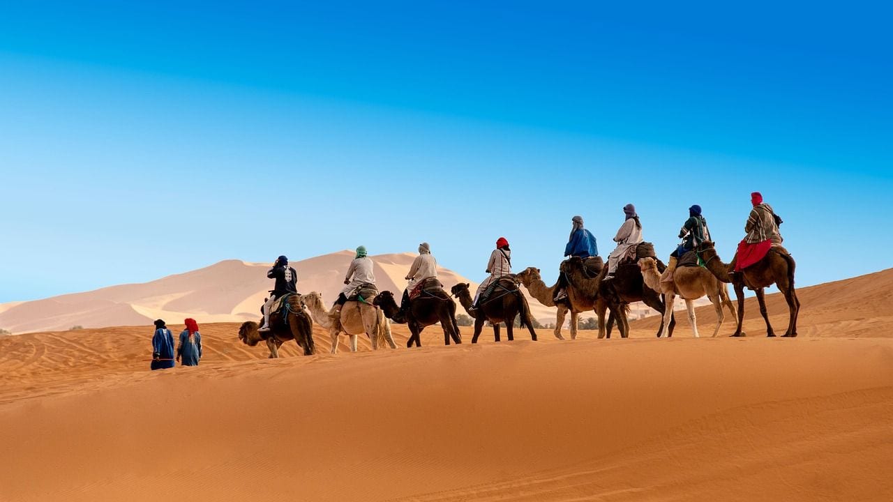
Spanning 9,200,000 km², the Sahara Desert is the largest hot desert on Earth and roughly the size of the United States. That is the standard comparative figure, though the edges genuinely move — Britannica puts the Sahara nearer 8,600,000 km², and the desert expands and contracts over time. Either way the gap below it is enormous: the Sahara is close to four times the size of the Arabian Desert at number four.
It also looks far less like a desert postcard than most people expect. Sand seas cover only a minority of it; the rest is gravel plain, rock plateau, dry basin and mountain. The high point is Mount Koussi in Chad's Tibesti Mountains at 3,415 metres, while the lowest ground lies 133 metres below sea level in Egypt's Qattara Depression. Eleven countries hold a share, running from Morocco and Western Sahara on the Atlantic across to Sudan and the Red Sea.
44. Arabian Desert
the Arabian Peninsula, Saudi Arabia / Yemen / Oman / United Arab Emirates
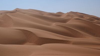
The Arabian Desert measures 2,330,000 km² and covers nearly the whole Arabian Peninsula, reaching across Saudi Arabia, Yemen, Oman and the United Arab Emirates and touching several of their neighbours. It is the largest desert in Asia, and the first entry on this list that a traveller is likely to cross on an ordinary trip, since the peninsula's major cities sit on or near its edges.
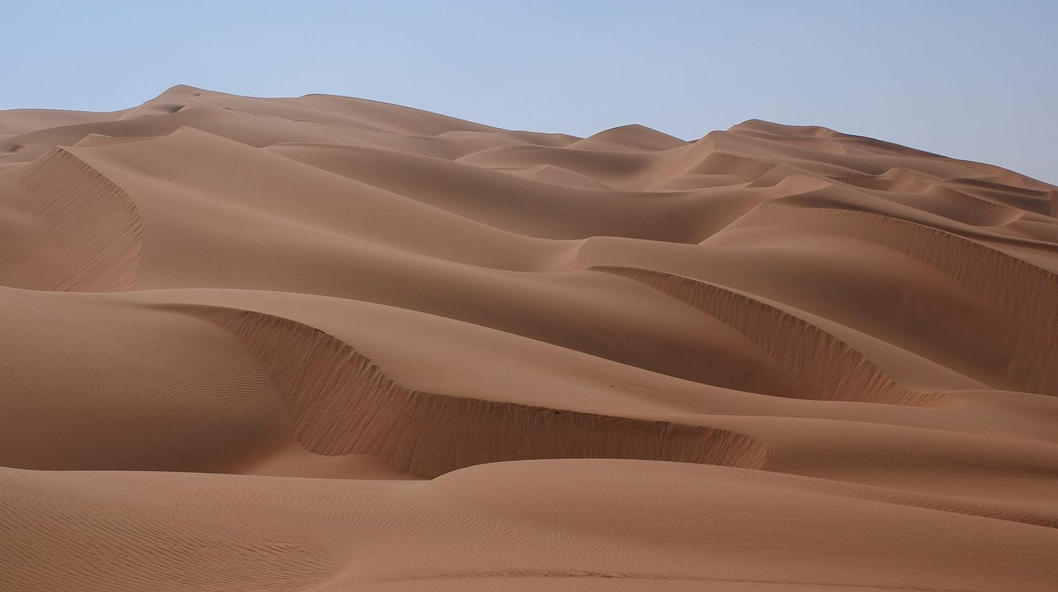
Its most famous quarter is the Rub al Khali, the Empty Quarter, which is the largest continuous sand sea in the world — an uninterrupted expanse of dunes filling the southern third of the desert.
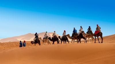
North of it the terrain shifts to gravel plain and limestone escarpment, and along the Gulf coast the sand runs straight into salt flats known as sabkha. Desert camps outside Dubai, Abu Dhabi and Riyadh put visitors on the edge of it with very little effort.
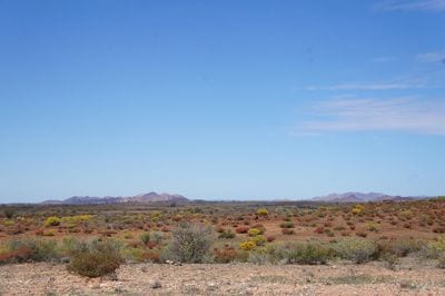
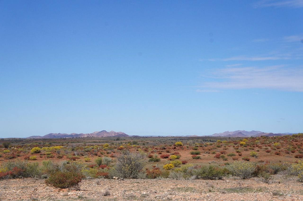
At 1,371,000 km², the Great Australian Desert is not one desert but ten counted as a single region, and that figure comes from Geoscience Australia rather than from any one landform. Together those named deserts cover about 18 per cent of the Australian mainland, which is what earns the aggregate its place here — and why the Great Victoria, the largest of the components, has no separate line further down this list.
The individual deserts have quite different characters. The Great Victoria is the biggest at 348,750 km², followed by the Great Sandy at 267,250 km², then the Tanami, the Simpson and the Gibson.
The Simpson is the one most travellers picture: long parallel dunes running for hundreds of kilometres, crossed only by four-wheel-drive tracks. Uluru and Kata Tjuta rise from the arid centre near where several of these deserts meet, which is why the region's best-known scenery looks nothing like its emptiest country.
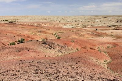
The Gobi Desert spans 1,295,000 km² across southern Mongolia and northern China, making it the largest of the cold-winter deserts. It sits in the rain shadow of the Himalaya, which strips the monsoon of its moisture before it can reach the Mongolian plateau, and it lies high enough that winter temperatures fall far below freezing while summer days climb into the thirties.
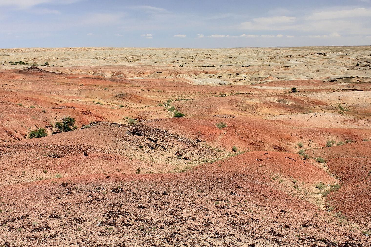
Like the Sahara, the Gobi is mostly not sand. Bare rock, gravel pavement and dry steppe make up the great majority of it, and the dunes visitors come to see are concentrated in a few places such as Khongoryn Els in the south.
It is also one of the richest dinosaur fossil grounds on Earth: the Flaming Cliffs at Bayanzag produced the first scientifically recognised nests of dinosaur eggs, and the site is still a fixture of Gobi itineraries running out of Ulaanbaatar.
77. Kalahari Desert
southern Africa, Botswana / Namibia / South Africa
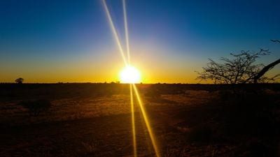
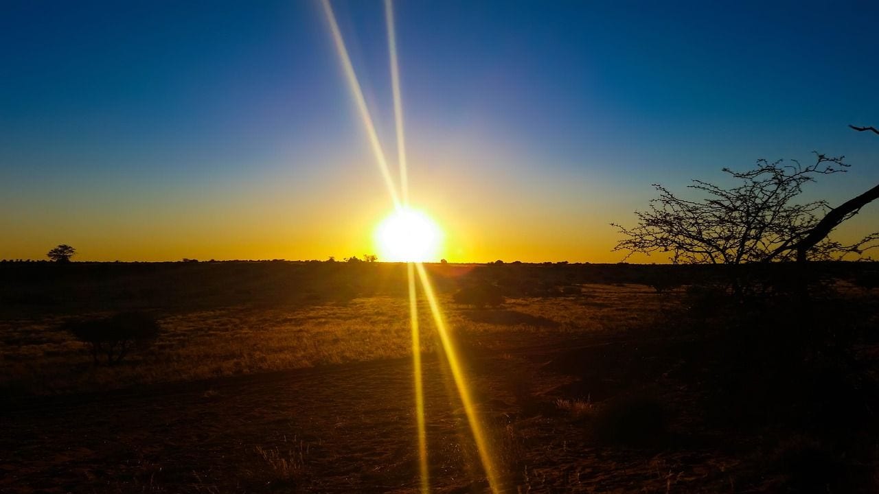
The Kalahari Desert covers 900,000 km² across Botswana, Namibia and South Africa, and it is the entry on this list that most tests the word desert. It is a semi-arid sandy savanna rather than a barren one, carrying grass, acacia and enough seasonal water to support large game — which is why it is safari country rather than somewhere people simply cross.
It is also routinely confused with something much larger. The Kalahari Basin, the sand-filled depression the desert sits inside, covers over 2,500,000 km² and reaches into Angola, Zambia and Zimbabwe; the desert proper is the 900,000 km² figure ranked here. On its northern edge the Okavango River empties inland and never reaches the sea, creating the Okavango Delta, while the Central Kalahari Game Reserve protects a slab of the interior large enough to be a country in its own right.
At 673,000 km², the Patagonian Desert is the largest desert in the Americas, filling southern Argentina and spilling across the Andes into Chile. It exists because of those mountains: weather systems arriving from the Pacific drop their moisture on the Chilean side and cross the range dry, leaving the eastern steppe in a rain shadow that runs for more than a thousand kilometres.
The defining experience of it is wind rather than heat. This is a cold desert of gravel plains, tussock grass and low thorny scrub, grazed by guanaco and patrolled by rhea, with temperatures that stay mild in summer and dip below freezing in winter.
Its eastern edge meets the Atlantic at the Valdés Peninsula, where the desert runs down to a coast known for southern right whales, elephant seals and penguin colonies — an unusually generous payoff for somewhere so bare.
99. Syrian Desert
the northern Arabian Peninsula, Syria / Iraq / Jordan / Saudi Arabia
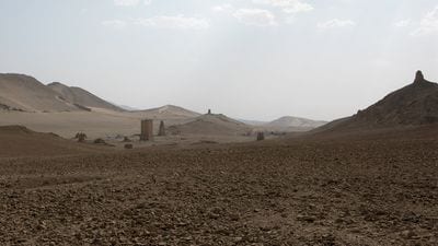
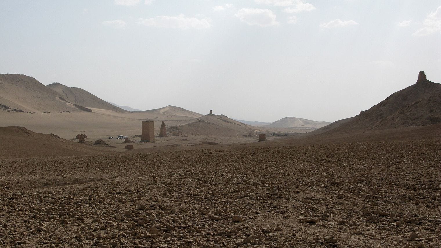
The Syrian Desert covers 500,000 km² and is shared between Syria, Iraq, Jordan and Saudi Arabia, occupying the block of country between the Mediterranean coast and the Euphrates. It is a combination of true desert and dry steppe rather than a uniform sand region, and its northern reaches carry enough seasonal grazing to have supported herders for thousands of years.
Much of the surface is stony plain and basalt, the remains of old lava fields that make travel awkward away from the roads. The desert's most celebrated site is Palmyra, the oasis city whose colonnades and temples grew rich on caravan trade crossing this ground between the Mediterranean and Mesopotamia.
The routes that later linked Damascus and Baghdad ran the same way, which is why a landscape this empty is threaded with more history than almost any other desert on the list.
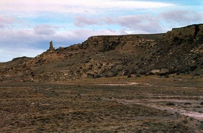
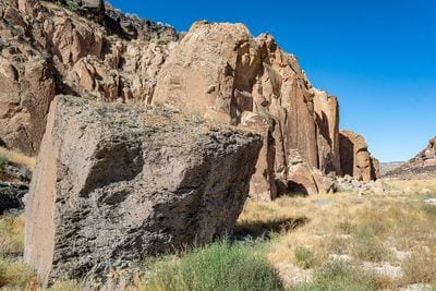
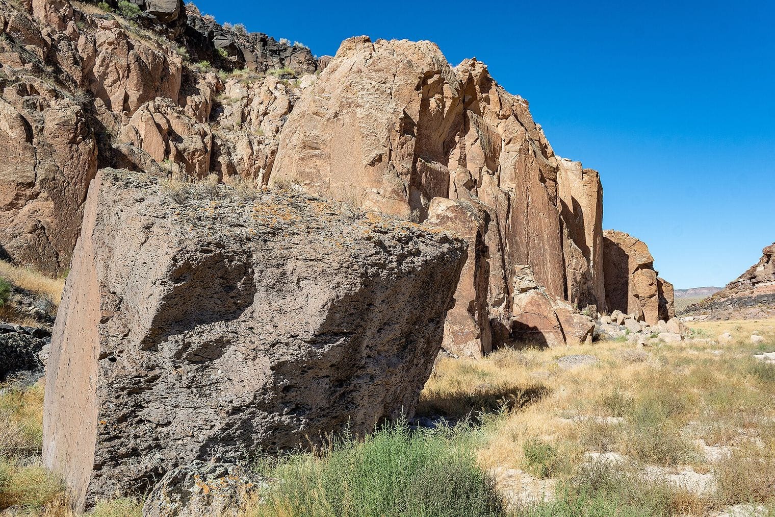
The Great Basin Desert spans 492,000 km² across Nevada and Utah, reaching into eastern California and southern Idaho, and it is the largest desert in the United States. It is a cold desert: winters bring snow, and the sagebrush covering much of it is a better signature plant than any cactus. Elevation does most of that work, since the whole province sits high enough to stop summers behaving like the deserts further south.
Its name describes its defining feature. This is endorheic country, meaning no water that falls here reaches the sea — rivers run into basins and evaporate or sink instead. The landscape repeats a pattern of long north-south mountain ranges separated by flat valleys, known as basin and range, and the highest of those ranges carry Great Basin bristlecone pines, among the longest-lived trees on Earth. Great Basin National Park protects the best-known stand of them.
The Chihuahuan Desert measures 450,000 km² on this ranking, spread across northern Mexico and the American Southwest with its largest continuous stretch in the Mexican state of Chihuahua.
Its boundary is the most disputed of any desert here — published figures range from roughly 362,000 km² to over 640,000 km² depending on whether the line is drawn around the desert or around the wider ecoregion — so it is ranked on the same comparative register as every other row rather than on its most generous measurement.
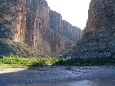
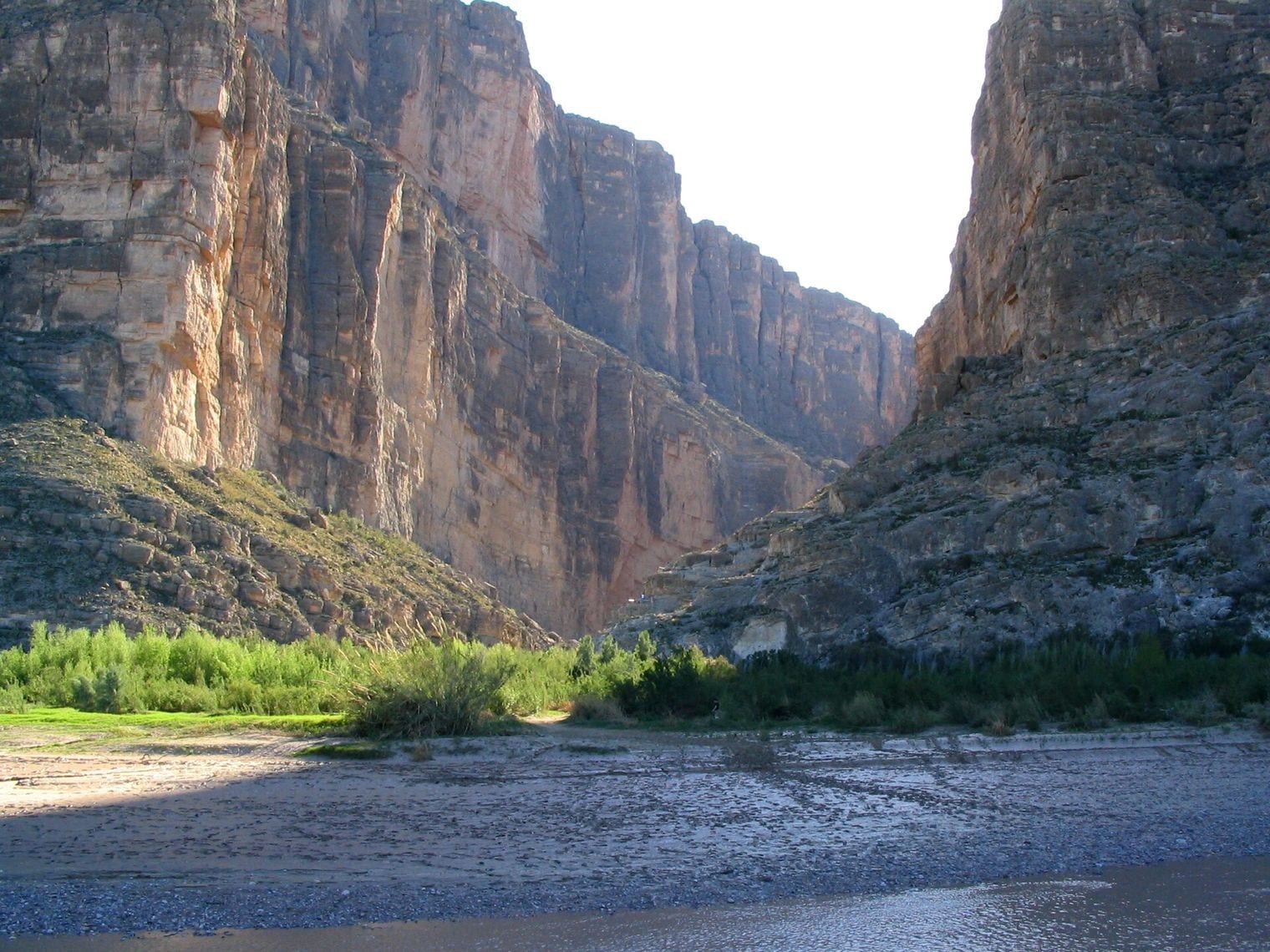
It is a high desert, and that altitude gives it cooler nights and more rain than the Sonoran to its west, which in turn gives it grassland, yucca and an extraordinary density of cactus species. Big Bend National Park protects a stretch where the Rio Grande cuts through the Chisos Mountains, and White Sands National Park in New Mexico holds the world's largest gypsum dunefield, a sea of white sand unlike anything else on this list.
The Karakum Desert covers 350,000 km² and fills roughly 70 per cent of Turkmenistan, which makes it the entry on this list that dominates its own country most completely. Its name means black sand, and it occupies the ground between the Caspian Sea and the Amu Darya river — a stretch of dune, salt flat and sparse saxaul scrub that most travellers cross rather than linger in.
Two things bring visitors. The first is the Darvaza gas crater, a burning pit in the middle of the desert that has been alight for decades and is usually reached as an overnight camping trip from Ashgabat.
The second is the Karakum Canal, a Soviet-era irrigation scheme carrying water from the Amu Darya hundreds of kilometres west across the sand — one of the longest of its kind anywhere, and the reason a desert this dry supports the farmland it does.
FAQ: The World's Largest Deserts
What is the largest desert in the world?
The Antarctic Desert, at 14,200,000 km². It takes the title because a desert is defined by precipitation rather than heat, and the Antarctic interior receives only a few centimetres of snow a year measured as water. That places it ahead of the Arctic Desert at 13,900,000 km² and the Sahara at 9,200,000 km².
Why is Antarctica considered a desert?
Because almost no water falls on it. Any region receiving under 250 millimetres of precipitation a year meets the definition, and much of the Antarctic plateau gets far less than that — drier than parts of the Sahara. The ice is kilometres thick only because what does fall almost never melts or drains away.
Is the Sahara the biggest desert in the world?
No — it ranks third, behind both polar deserts. The Sahara is the largest hot desert in the world at 9,200,000 km², roughly the size of the United States, and close to four times the size of the Arabian Desert ranked below it. Its measured area shifts as the desert expands and contracts.
What is the world's largest sand desert?
The Rub al Khali, or Empty Quarter, inside the Arabian Desert — the largest continuous sand sea on Earth. Sand is rarer in deserts than most people expect: it covers only a minority of the Sahara and the Gobi, and the tallest sand dunes in the world are concentrated in a handful of places.
What is the largest desert in the United States?
The Great Basin Desert, at 492,000 km² across Nevada, Utah, eastern California and southern Idaho — a cold desert of sagebrush and snowy winters rather than cactus and sand. No water that falls on it reaches the sea, so its closed basins dry into salt flats where the rivers finally run out.