The record
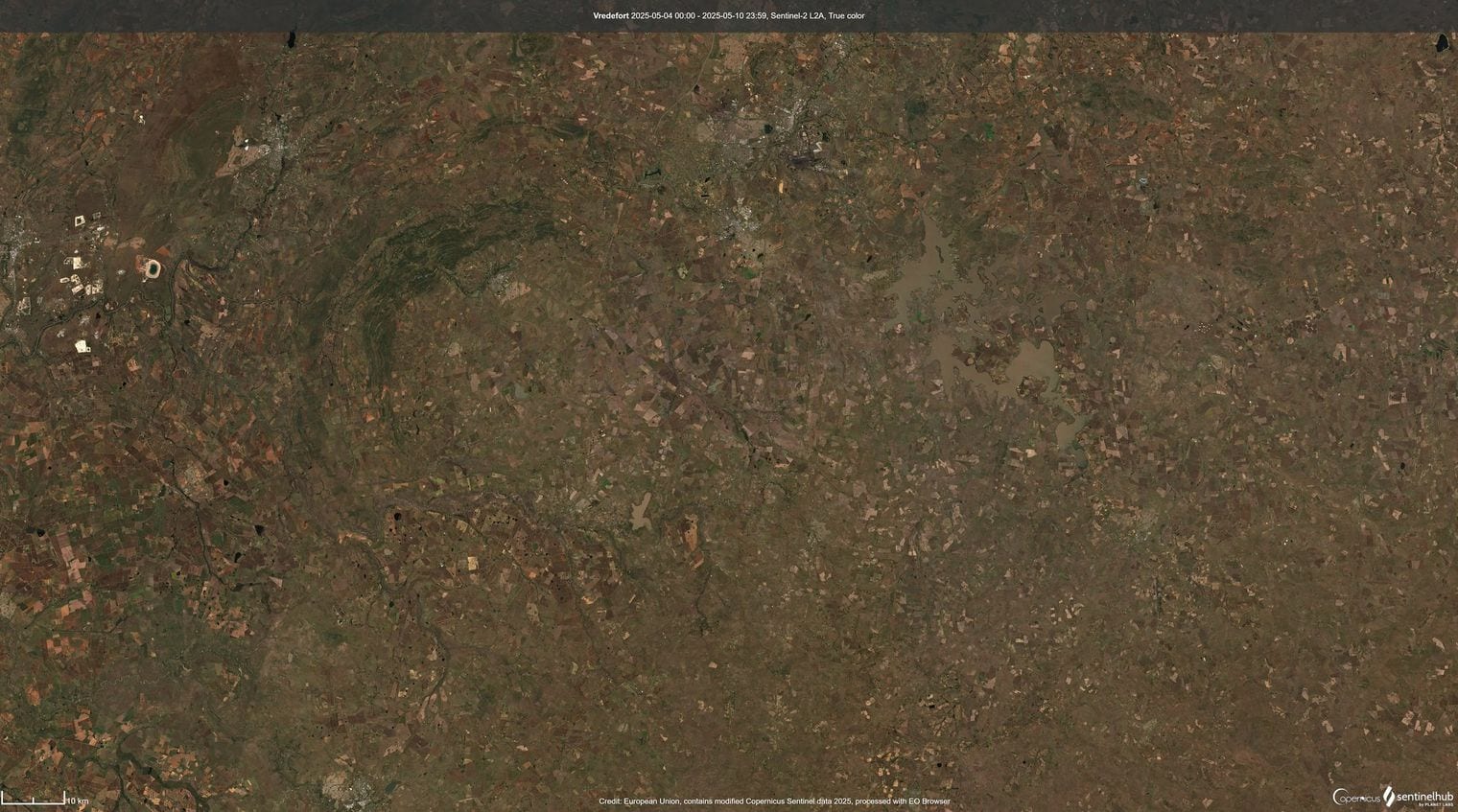
The largest impact crater in the world is the Vredefort impact structure, in South Africa — 160 km (99 mi), crater diameter.
Source: Wikipedia List of impact structures on Earth, register column, rev. 2026-08-25. Wikidata P2386 carries the modelled 300 km pre-erosion figure, which this ranking deliberately does not use.. Verified .
Picture an impact crater and you probably see Arizona's Meteor Crater: a clean bowl in the desert, a kilometre across, rim intact. Not one of the twelve below looks anything like it. At this scale craters do not survive as bowls: they are eroded to their roots, folded by tectonics, or buried under a kilometre of younger rock.
What geologists rank is the crater the impact originally excavated, read from shocked quartz and shatter cones in the bedrock. This list ranks that final-crater diameter as the confirmed-impact register tabulates it, which is why Vredefort appears at 160 km rather than the 300 km its shock damage has been modelled at.
Confirmation is the only test, so buried structures count. Bigger claims exist, including a 500 km anomaly under the Antarctic ice, but none has produced the shock evidence that would let it in. Set beside the tallest cliffs or the tallest volcanoes, these are the planet’s least gradual landforms: those took millions of years; every crater here took seconds.
Fun Facts About the World’s Largest Impact Craters
One crater holds more diamonds than the rest of the world combined — the impact at Popigai drove into graphite-bearing rock and converted it instantly into industrial diamonds. In 2012 the Siberian branch of the Russian Academy of Sciences put the deposit at trillions of carats, having surveyed well under one percent of the crater.
At Morokweng a piece of the asteroid itself survived — drillers pulled a 25 cm fragment of the impactor out of the melt sheet from 770 m down in 2006. Impacting bodies are normally vaporised completely, which is why almost no other crater on Earth has produced anything like it.
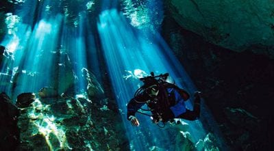
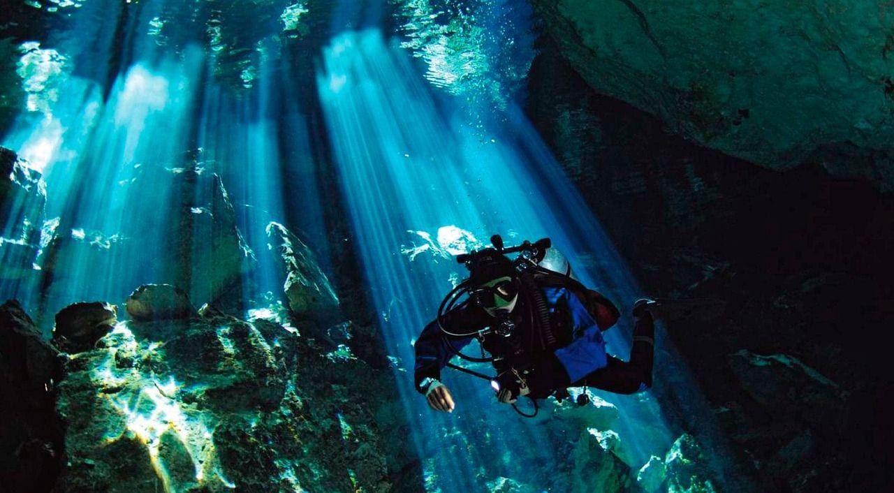
You can swim in the rim of the crater that killed the dinosaurs — Chicxulub is buried under a kilometre of limestone, but the fractured rock above its rim drains differently from its surroundings, so a ring of cenotes traces the outline across the northern Yucatan.
About 90 percent of the people of Charlevoix live inside a crater — the floor of the Charlevoix structure is smooth and flat where the Laurentian Mountains around it are craggy, which made it much easier ground to settle.
The Siljan Ring was drilled 6.8 km deep to test a theory about where gas comes from — the Gravberg-1 well, sunk between 1986 and 1990, was meant to prove Thomas Gold’s idea that methane rises from deep in the Earth rather than forming from buried organic matter. It found no commercial gas and a great deal of good geology.
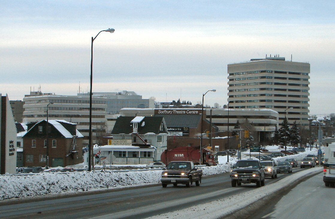
An impact crater paid for a Canadian city — the Sudbury Basin impact concentrated nickel, copper and platinum-group metals in the rock that cooled at its base, and Sudbury, Ontario has been mining that ore since nickel was found there in 1883.
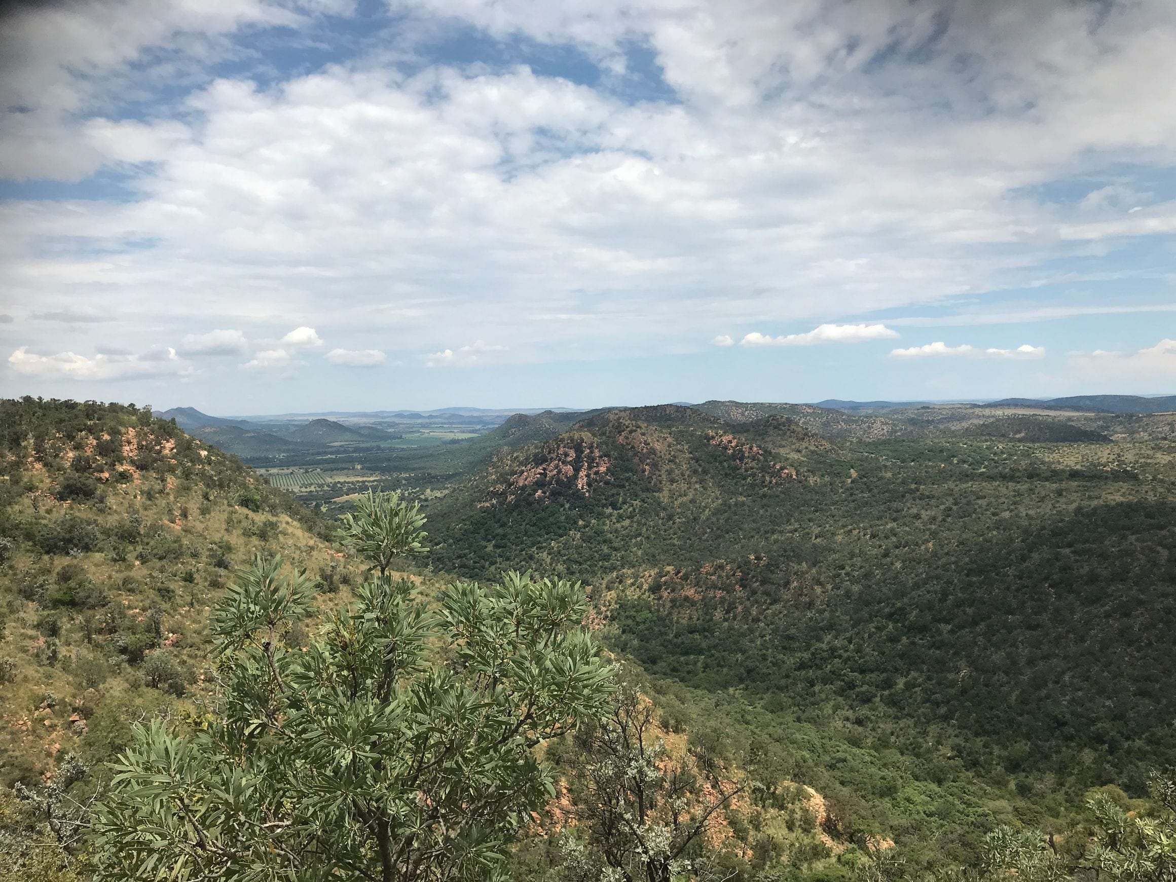
At 160 km across, the Vredefort impact structure is the largest confirmed crater on Earth and, at just over two billion years old, comfortably the oldest on this list.
The asteroid that made it struck what is now South Africa's Free State when the atmosphere still carried almost no oxygen, punching so deep into the crust that the rebound folded rock from far below the surface upward into a central dome. UNESCO inscribed the site as a World Heritage Site in 2005, the only entry here to carry that designation.
Two billion years of weather have stripped something like seven to eleven kilometres off the top, so there is no rim left to walk.
What survives is the middle of the structure: a set of curved ridges south-west of Johannesburg, around the town of Parys on the Vaal River, where upturned beds of quartzite trace arcs that are far easier to read on a map than on the ground. The shatter cones in the roadcuts are what settled the argument about its origin.
At 150 km wide, Chicxulub is the crater that ended the Cretaceous. The impact 66 million years ago released enough energy to loft molten rock clear of the atmosphere and fill the sky with sulphur and dust, and the thin iridium-rich layer it laid down can be read in rock on every continent. By consequence rather than size, it is the most significant structure on this list by a margin nothing else comes close to.
You cannot actually see it. The crater sits under roughly a kilometre of limestone deposited since, with half of it beneath the Gulf, and it was found by geophysicists surveying for oil rather than by anyone examining the landscape.
What it does leave at the surface is worth travelling for: the Ring of Cenotes, an arc of flooded sinkholes across the northern Yucatan that follows the buried rim, because the fractured rock above it drains differently from everything around. Swim in one and you are floating on the crater's outline.
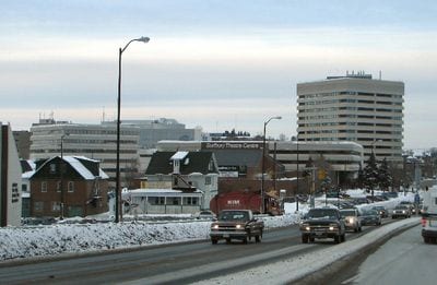
At 130 km, the Sudbury Basin is the third-largest confirmed impact structure and by some distance the most economically consequential crater on the planet. The impact melted the crust deeply enough to concentrate nickel, copper and platinum-group metals in the sheet of rock that cooled at the bottom of it, and Sudbury, Ontario has been mining that ore since the 1880s. Most craters on this list are scientific curiosities. This one paid for a city.
Its outline is misleading. What can be traced on the ground today is an oval roughly 62 km by 30 km, but that is a 130 km circle squeezed out of round by nearly two billion years of tectonic shortening rather than the shape the impact left.
The basin is straightforward to visit, with the Trans-Canada Highway running across it, and Science North's Dynamic Earth centre is built around the story of how a rock from space came to underwrite the local economy.
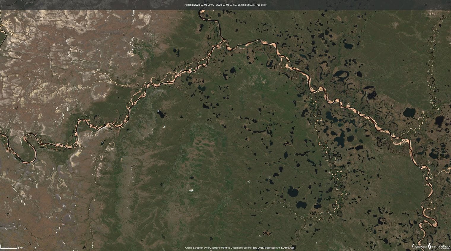
At 100 km across, the Popigai structure in northern Siberia is tied for fourth here and holds something no other crater can match: the impact drove into graphite-bearing rock and converted it, in an instant, into industrial diamonds. Soviet geologists mapped the field through the 1970s, and Russian researchers described its scale to the wider scientific world in 2012, reporting a resource that dwarfs conventional diamond deposits.
That tie at 100 km is with Manicouagan, and Popigai is placed above it because its figure describes the structure that actually survives rather than a modelled original rim around a smaller present-day ring.
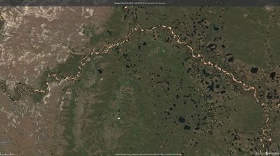
Reaching it is the difficulty. The crater lies above the Arctic Circle in Krasnoyarsk Krai, hundreds of kilometres from any settlement of size, on tundra that is realistically accessible by helicopter or river barge and very little else. Of everything on this list, it is the one you are least likely to stand in.
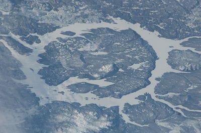
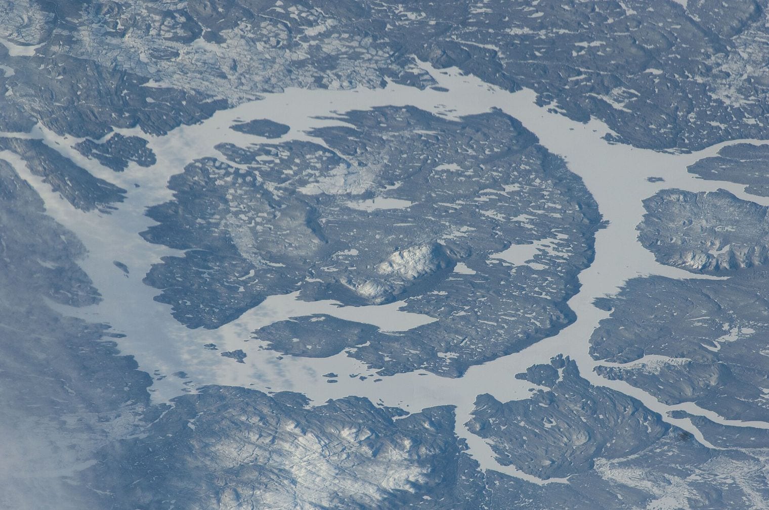
Also tabulated at 100 km, Manicouagan is the most instantly recognisable crater on Earth from orbit: a near-perfect ring of water about 70 km across, wrapped around a wooded central island, set in the boreal forest of central Quebec. Astronauts have called it the Eye of Quebec, and it is one of very few structures here that reads as a crater at a glance rather than through a geologist's map.
The ring of water is not the rim. The 100 km figure describes the crater the impact excavated about 215 million years ago, while the visible ring follows a softer inner trough that the Daniel-Johnson dam flooded in the 1960s.
Rene-Levasseur Island, the land it encloses, carries the crater's central peak at Mount Babel, pushed back up from depth by the rebound. Quebec Route 389 runs north from Baie-Comeau and passes along the reservoir's eastern shore, which makes this the rare entry on this list you can reach on an ordinary road trip.
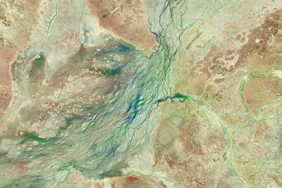
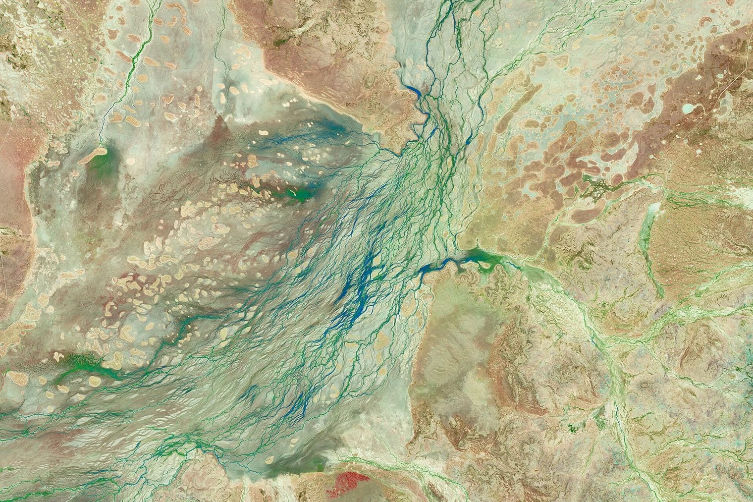
At 90 km, Acraman is the largest confirmed impact structure in Australia and one of the oldest anywhere at roughly 590 million years. The impact struck volcanic rock on what was then the edge of an ancient continent, and it is unusual among the entries here in that its debris has been traced hundreds of kilometres from the crater itself, giving geologists an exceptionally clear record of the event.
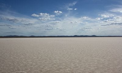
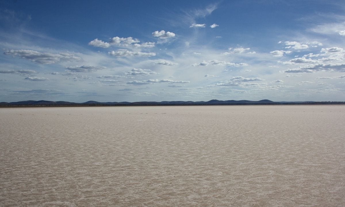
At the surface there is very little to announce it. Lake Acraman is an ephemeral salt pan about 20 km wide on the Gawler Ranges of South Australia, dry and glaring white for most of the year, and it marks only the eroded centre of a structure several times its size.
The convincing evidence lies elsewhere: shattered fragments of Gawler Range volcanics embedded in sedimentary rock in the Flinders Ranges, at least 300 km east, thrown there by the impact and preserved ever since.
At 70 km, Morokweng lies beneath the Kalahari in South Africa's North West Province and gave up something almost no other crater on Earth has: a piece of the object that made it. Drilling into the melt sheet recovered, in 2006, a 25 cm fragment of the impacting asteroid from 770 m below the surface, surviving intact inside rock that had once been molten. Impactors are normally vaporised entirely, which is what makes the find remarkable.
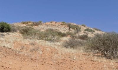
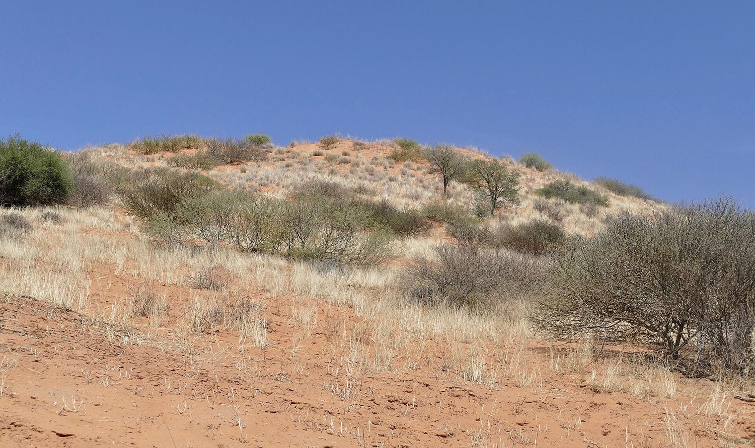
There is nothing to look at. The structure sits under Kalahari sand and younger sediment, and it was identified in 1994 from magnetic and gravity surveys rather than from anything visible on the ground. Published estimates of its size vary widely, from around 70 km up to a disputed figure several times larger, though none of the proposed values would move it from this position on the list.
At 66 km, Tookoonooka is the second of Australia's giants and is completely invisible, buried a couple of kilometres below the surface of the Eromanga Basin in south-west Queensland. Like several structures on this list it was found by the petroleum industry rather than by geologists hunting craters, turning up as an anomaly in seismic surveys shot in the search for oil and gas.
When it formed around 123 million years ago the site was not desert but a shallow inland sea covering much of what is now central Australia, and the impact left its mark in the sedimentary record as a disturbed layer that can be correlated across the basin.
Published diameters range from 55 km to 66 km depending on where the structural rim is drawn, a spread that shifts its exact position slightly but keeps it comfortably inside the top twelve on any of the figures.
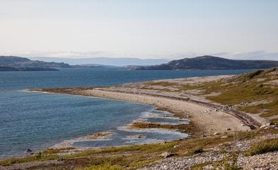
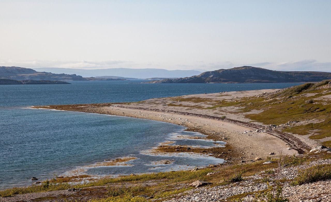
At 65 km in its present state, the Kara crater sits on the Arctic coast of Russia's Nenets Autonomous Okrug, on the tundra of the Yugorsky Peninsula where the Kara Sea meets the mainland. It formed about 75 million years ago, shortly before the Chicxulub impact, and for a time was argued to be part of the same wave of events that closed the Cretaceous, though the dating has since separated them clearly.
Its current diameter understates what happened. Erosion and the sea have removed a great deal of the structure, and reconstructions put the original crater at something closer to 120 km, which would place it among the very largest anywhere. Part of it now lies offshore beneath the Kara Sea. Practically speaking it is one of the harder entries to reach, with no roads and a landscape of frozen ground, shallow lakes and river channels.
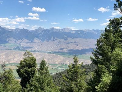
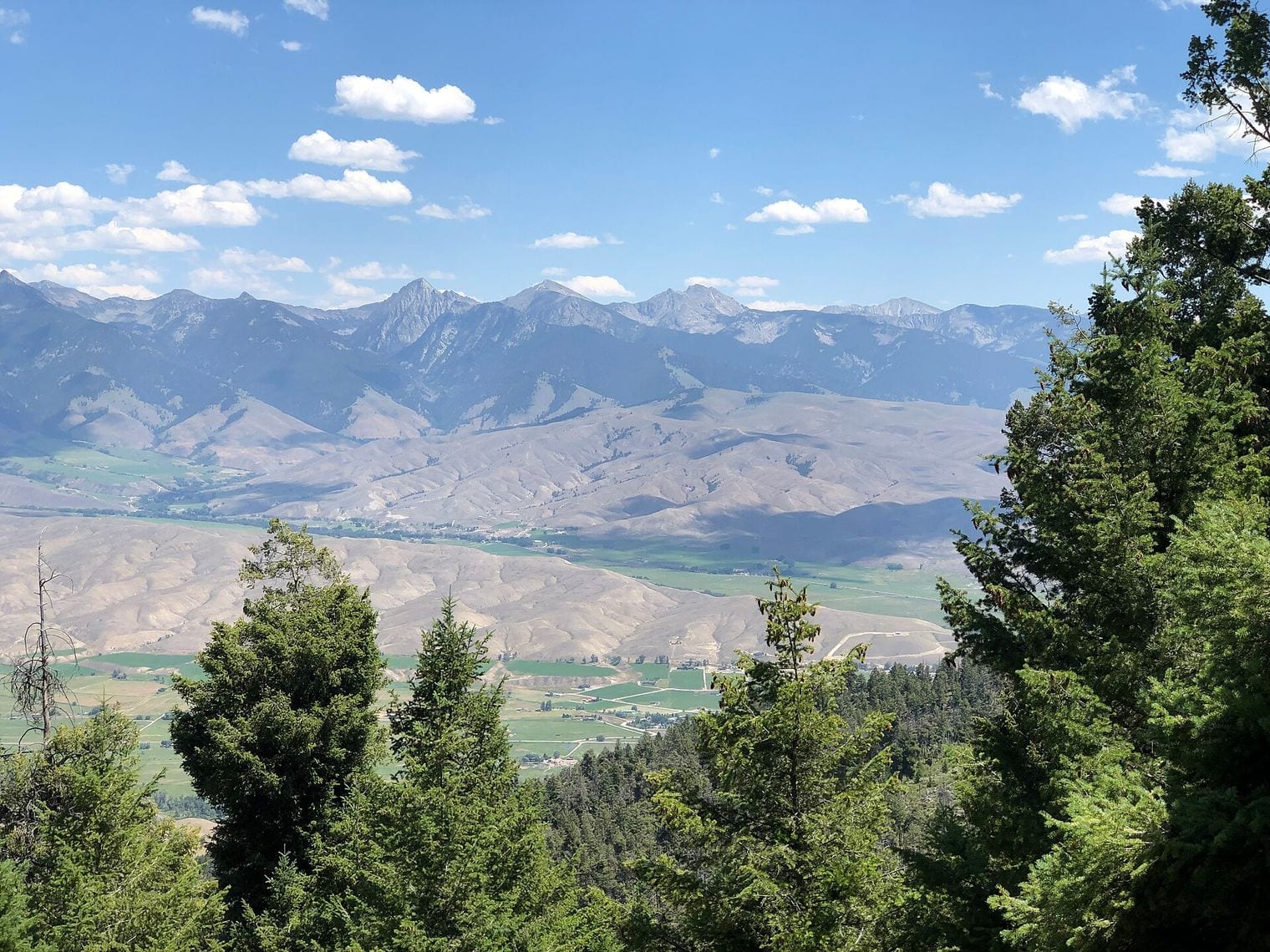
At 60 km, Beaverhead is the only entry on this list inside the United States, straddling the border of Idaho and Montana. It is also among the oldest here, at roughly 600 million years, and it was recognised not from any crater-like landform but from shatter cones in the rock, the distinctive nested fracture pattern that only a hypervelocity impact produces.
There is no bowl, no ring and no rim to photograph. Six hundred million years of erosion have reduced the structure so completely that the shatter cones found around its perimeter are among the only visible evidence it exists at all, and its outline has to be reconstructed from scattered exposures rather than observed. Of everything on this list, Beaverhead is the entry that comes closest to being a geological argument rather than a place.
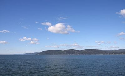
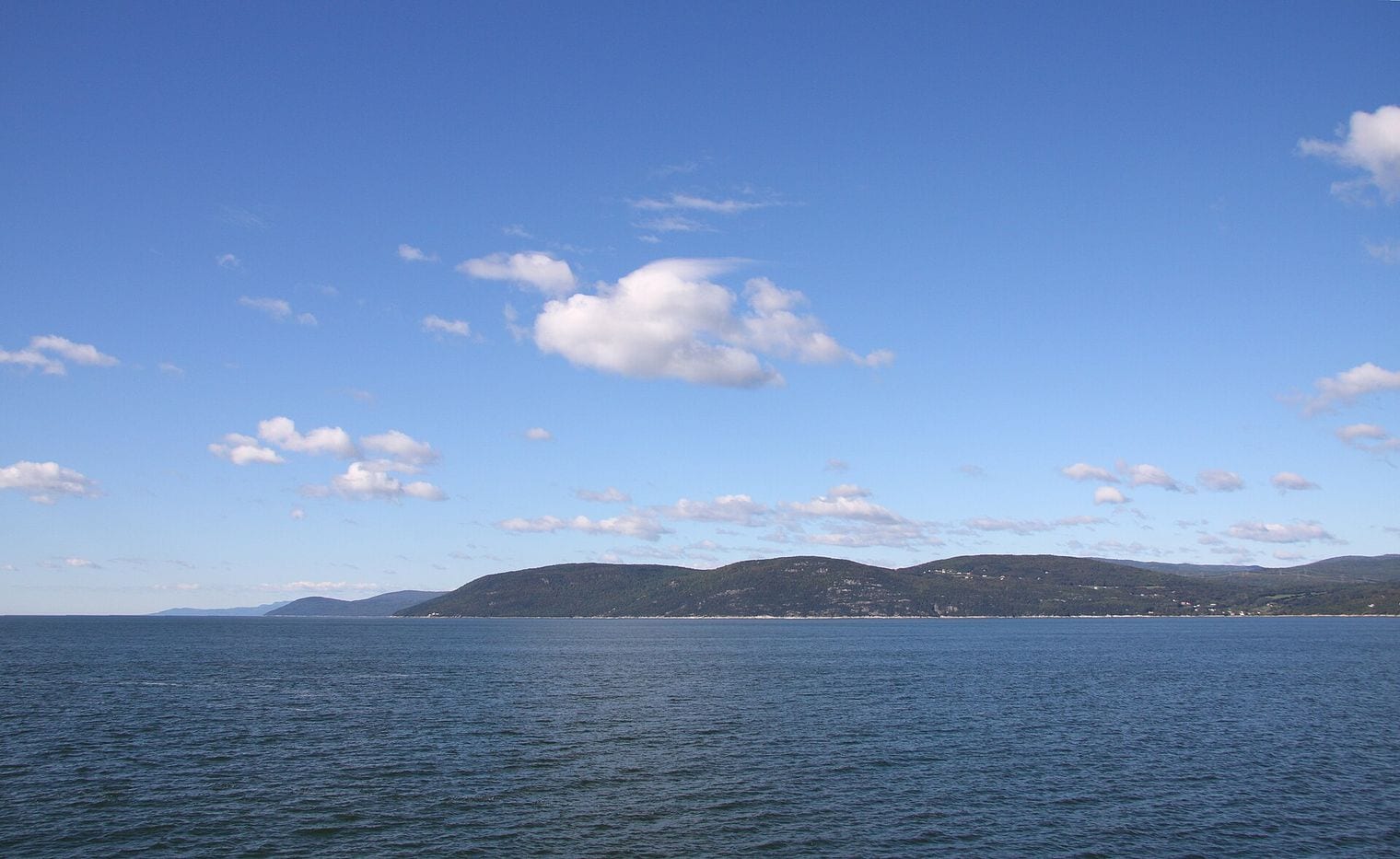
At 54 km, the Charlevoix impact structure in Quebec is the most thoroughly lived-in crater on this list. Unlike the craggy Laurentian Mountains that surround it, the floor of the structure is relatively smooth and flat, which made it far easier ground to settle: roughly 90 percent of the people of the Charlevoix region live inside the crater. The Saint Lawrence River covers the rest of it.
It struck roughly 450 million years ago, and its central uplift is still there to see as Mont des Eboulements, the hill standing at the exact centre of the structure and noticeably above the ground around it. Isle-aux-Coudres sits just offshore within the same rim. The region is far better known for other things, being one of Quebec's longest-established holiday areas, and the great majority of people who visit it never learn what they have been driving around inside.
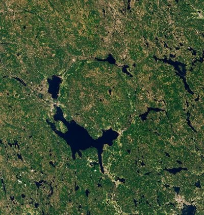
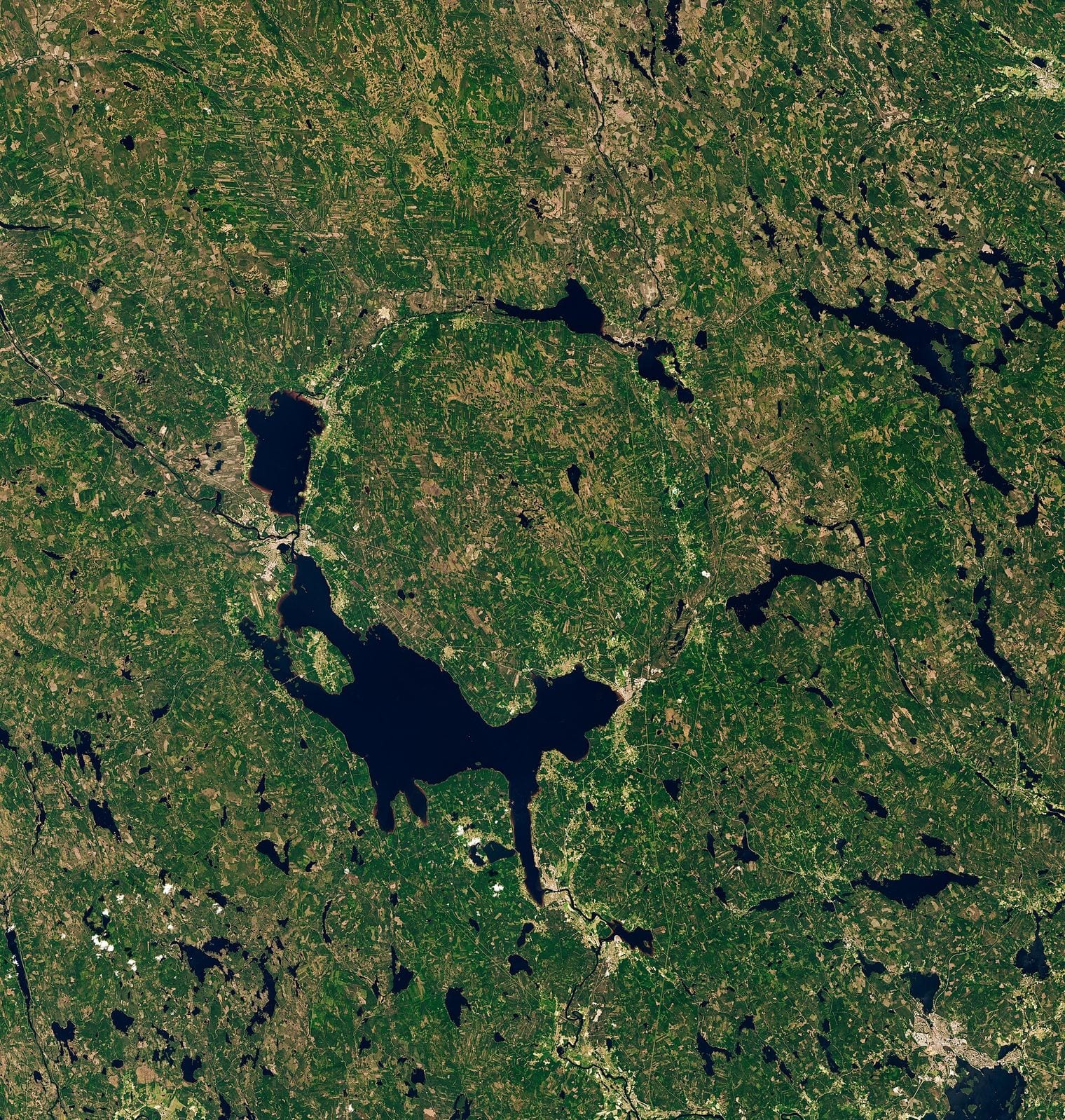
At 52 km, the Siljan Ring in Dalarna is the largest confirmed impact structure in Europe, and after two billion-year-old giants and a run of buried anomalies it is a relief to reach a crater that is genuinely pleasant to visit. The impact struck 377 million years ago, and the ring of lakes that traces it, Siljan itself among them, has made this one of Sweden's most popular summer regions, with Mora, Rattvik and Orsa spaced around the rim.
The lakes sit in the softer sedimentary rock of the crater's trough, which weathered faster than the hard granite around it, so the water is drawing the structure's outline for you.
Siljan is also the most thoroughly drilled crater on this list, for an unusual reason: in the 1980s the site was chosen to test the theory that natural gas rises from deep in the Earth rather than forming from buried organic matter. The boreholes went down more than six kilometres, found no commercial gas, and left behind a superb geological record of the crater instead.
FAQ: The World’s Largest Impact Craters
What is the largest impact crater on Earth?
Vredefort, in South Africa’s Free State. The confirmed-impact register tabulates it at 160 km across, ahead of Chicxulub in Mexico at 150 km and Canada’s Sudbury Basin at 130 km. It is also the oldest structure on this list, at just over two billion years, and the only one inscribed as a UNESCO World Heritage Site.
Why do published crater diameters disagree with each other so much?
Because a large impact structure has two very different sizes: the crater the impact originally excavated, and whatever erosion, burial and tectonics have left of it since. Vredefort is tabulated at 160 km but has been modelled at up to 300 km before erosion. This list uses the register’s tabulated figure for every entry, so the ranking stays internally consistent.
Can you actually visit any of the largest impact craters?
Several of them, easily. Charlevoix in Quebec has towns and a highway inside it, the Siljan Ring is one of Sweden’s busiest summer regions, and Manicouagan’s ring of water is reachable by road north of Baie-Comeau. Others are effectively impossible: Popigai sits on remote Arctic tundra, while Morokweng and Tookoonooka are buried entirely out of sight. For dramatic landforms you can reliably walk up to, the largest national parks and the longest natural arches are easier places to start.
Which impact crater killed the dinosaurs?
Chicxulub, beneath Mexico’s Yucatan Peninsula. The 150 km crater formed 66 million years ago at the Cretaceous–Paleogene boundary, and the debris layer it laid down can be identified in rock worldwide. It lies under about a kilometre of younger limestone, though the Ring of Cenotes at the surface follows the line of its buried rim.
Why are the Wilkes Land and Deniliquin structures not on this list?
Because neither one is confirmed. A structure qualifies here only when shock metamorphism proves an impact happened: shatter cones, shocked quartz or impact melt. The roughly 500 km Wilkes Land anomaly under the Antarctic ice sheet and the proposed 520 km Deniliquin structure in Australia both rest on geophysical data alone, with no shock evidence recovered.