The record
The country with the largest mangrove forest in the world is Indonesia — 31,465 km² (12,149 sq mi), mangrove forest area.
Source: Global Mangrove Watch v4.1 (2025 epoch). Verified .
Ask which country holds the world's largest mangrove forest and the answer arrives before the caveat does: the Sundarbans. Yet here the Sundarbans lands twice, at ninth and tenth, because an international border runs through it — and that is exactly the difficulty with ranking mangroves.
No register publishes comparable extents for named forests, and the figures in circulation for a single delta can differ nearly twentyfold depending on whether a source measured tree canopy, open water, or an entire river basin. So this countdown ranks countries against one dataset: Global Mangrove Watch v4.1, which mapped 147,284 km² of mangrove canopy worldwide in its 2025 survey.
Every number below is canopy as it stands today — not coastline, not protected-area boundaries, not a delta's outline. That rule costs the list its celebrated named forests, from the Amazon belt to Matang, and it is the only way ten entries can honestly be set side by side.
Map of Countries With the Largest Mangrove Forests in the World
Countries With the Largest Mangrove Forests in the World
Fun Facts About the World's Largest Mangrove Forests
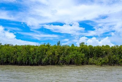
Two entries on this list are the same forest. The Sundarbans straddles the India–Bangladesh border, so it is counted once under India and again under Bangladesh — roughly 60 percent of it on the Bangladeshi side.
The Sundarbans is the only mangrove forest on Earth with a resident tiger population. UNESCO records it as the sole mangrove habitat of Panthera tigris tigris, where Bengal tigers swim between islands and hunt along tidal creeks.
Indonesia alone holds close to a quarter of the world’s mangroves — more than three times as much as any other country, scattered across thousands of islands rather than massed in one forest.
Every mangrove on the planet put together covers 147,284 km² — less than a tenth of one percent of Earth’s land surface, and under a sixth of the area of the world’s largest national park.
Malaysia’s Matang reserve has been worked on a rotation since 1906, making it one of the longest continuously managed forests of any kind in the tropics — and the reason it is widely called the best-managed mangrove forest in the world.
Papua New Guinea’s mangrove has barely moved in three decades: 4,876 km² in 1996 against 4,878 km² today, the steadiest figure of any country on this list.
At 31,465 km², Indonesia holds close to a quarter of every mangrove on Earth and more than three times the extent of the next country on this list.
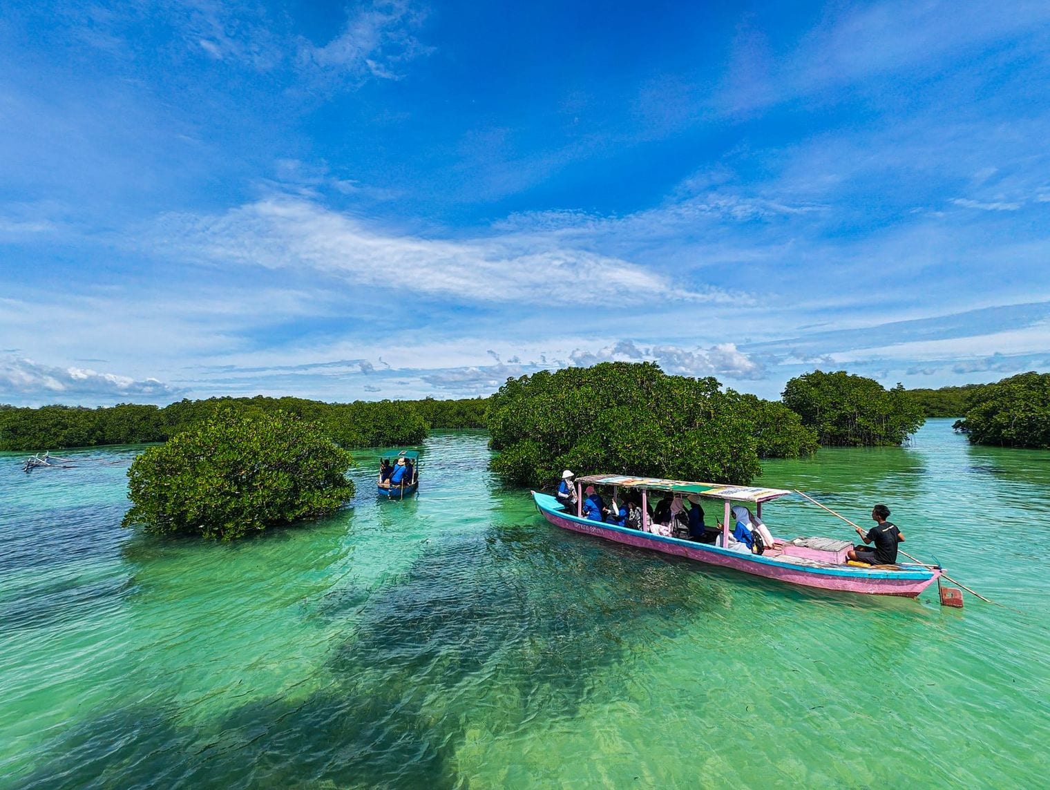
The forests are scattered rather than massed — strung along the coasts of Sumatra, Borneo, Sulawesi and New Guinea across thousands of islands — which is why no single Indonesian forest appears in the record books even though the national total dwarfs everything else. The largest continuous block sits in Bintuni Bay in West Papua, where roughly 3,000 km² of mangrove lines a bay opening into the Berau Gulf.
That scale comes with the steepest losses anywhere: Global Mangrove Watch records a net decline of 2,044 km² since 1985, most of it to aquaculture ponds and plantations. Restoration has since become national policy, and the trend has flattened over the past decade. Travellers rarely reach Bintuni Bay, but the boardwalks of Ngurah Rai Forest Park on Bali put a working mangrove within half an hour of the airport.
Brazil's 10,771 km² of mangrove is the second-largest national holding on Earth, and unlike Indonesia's it is concentrated: a single unbroken belt runs along the Amazon coast between Pará and Maranhão. At roughly 7,591 km², that belt is the largest continuous stretch of mangrove anywhere, and it accounts for about 56 percent of everything Brazil has.
Tidal ranges here climb above four metres, flooding the forest twice a day and pushing sediment far inland — the reason the region is known as the Amazon Macrotidal Mangrove Coast.
The tallest and densest mangroves in the Amazon grow on the Bragança Peninsula, where the combination of silt and tide produces trees far above the regional average. Brazil is also one of the few countries here whose total has barely moved: the 2025 figure sits marginally above the 1996 one, a stability owing much to how thinly settled this coast remains. New reserves declared in Pará have since extended protection further along it.
33. Australia
Kakadu National Park, Northern Territory, Australia
Australia's 10,691 km² puts it within 80 km² of Brazil — a gap under one percent, which on satellite-mapped data means the two are effectively tied for second. Almost all of it lies along the empty tropical north, from the Kimberley through the Gulf of Carpentaria to Cape York, where mangroves fringe river mouths along coastline that sees almost no development at all.
Australia is one of the few countries here whose mangrove extent has grown, up about 1,000 km² since 1996. Kakadu National Park, dual-listed by UNESCO for both its nature and its living culture, is the accessible face of it: the tidal reaches of the South Alligator River carry dense mangrove that visitors see from boat cruises, and the park's wetlands support saltwater crocodiles in numbers few places match.
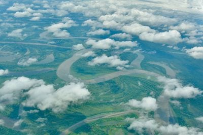
Nigeria's 7,925 km² is the largest mangrove forest in Africa and the reason West Africa registers at all on a global mangrove map. Nearly all of it lies in the Niger Delta, where the Niger River splits into a fan of creeks and channels before reaching the Atlantic — an area so intricate that its mangrove has been mapped at wildly different sizes by different studies, which is part of why this list ranks countries rather than deltas.
The delta is also the most industrially pressured mangrove here. Decades of oil extraction have left spills across the creeks, and the nipa palm, introduced from Asia, has displaced native red mangrove along stretches of coast. Global Mangrove Watch shows Nigeria's extent falling by around 300 km² since 1996. Clean-up programmes in Ogoniland have begun, though the sheer scale of the delta makes progress slow to see.
Mexico's 7,902 km² sits just 23 km² behind Nigeria, close enough that the two are better read as sharing fourth place than separated by it. Mexican mangrove is split between two coasts — the Gulf and Caribbean side around the Yucatán, and the Pacific side running down from Sinaloa — which gives the country an unusual spread of mangrove types for a single nation.
The largest single expanse is Marismas Nacionales in Nayarit, a Ramsar site and biosphere reserve of roughly 133,854 hectares holding about a fifth of all the mangrove Mexico has, and the biggest continuous stand on the Pacific coast of the Americas. Its lagoons and channels are a nursery for the shrimp and fish that support the regional fishery, and a wintering ground for migratory birds arriving from North America.
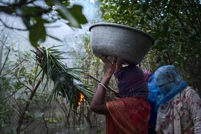
Malaysia's 5,597 km² spans both halves of the country, but its most celebrated forest is Matang on the Perak coast — a crescent of mangrove running some 51 km from Kuala Gula south to Bagan Panchor. Matang was gazetted a permanent forest reserve in 1906 and has been worked on a rotation ever since, making it one of the longest continuously managed forests of any kind in the tropics.
That record is why Matang is widely described as the best-managed mangrove forest in the world. Around 80 percent of its 40,000-plus hectares is harvested on a 30-year cycle for charcoal and poles and then replanted, a system that has held for over a century. It supports 28 true mangrove species and more than 150 bird species, and the reserve's boardwalks and traditional charcoal kilns at Kuala Sepetang are open to visitors.
Myanmar's 5,584 km² falls within 14 km² of Malaysia's — the narrowest margin on this list, and well inside the uncertainty of any satellite survey, so sixth and seventh are best read as a tie. The forests concentrate in the Ayeyarwady Delta and along the Rakhine coast, where the river's silt has built one of Asia's great deltaic plains.
Myanmar has lost more mangrove proportionally than any other country here, down from 7,045 km² in 1996 — a fall of roughly a fifth, driven mainly by conversion to rice paddy. What survives at Meinmahla Kyun, an island sanctuary in the delta designated a Ramsar site in 2017, covers about 500 km² and shelters saltwater crocodiles, Ayeyarwady dolphins and the critically endangered mangrove terrapin.
Papua New Guinea's 4,878 km² is remarkable less for its size than for how little it has changed: the 1996 figure was 4,876 km², making this the most stable mangrove estate on the list. Most of it lines the Gulf of Papua, where the Kikori, Purari and Fly rivers empty into the sea across a coast with almost no road access.
The Kikori Delta is the heart of it — a maze of channels draining a basin of some 23,300 km² that runs unbroken from the coast to peaks above 3,000 metres. Few places on Earth still hold that full gradient of forest intact, and the delta has been put forward for UNESCO World Heritage listing on the strength of both its biodiversity and the cultures living along it.
India's 4,671 km² is the ninth-largest national holding, and it is growing — up from 3,591 km² in 1996, a gain of nearly a third and the steepest proportional increase of any country here. Plantation programmes along the east coast account for much of it, alongside natural expansion in the Gulf of Kachchh.
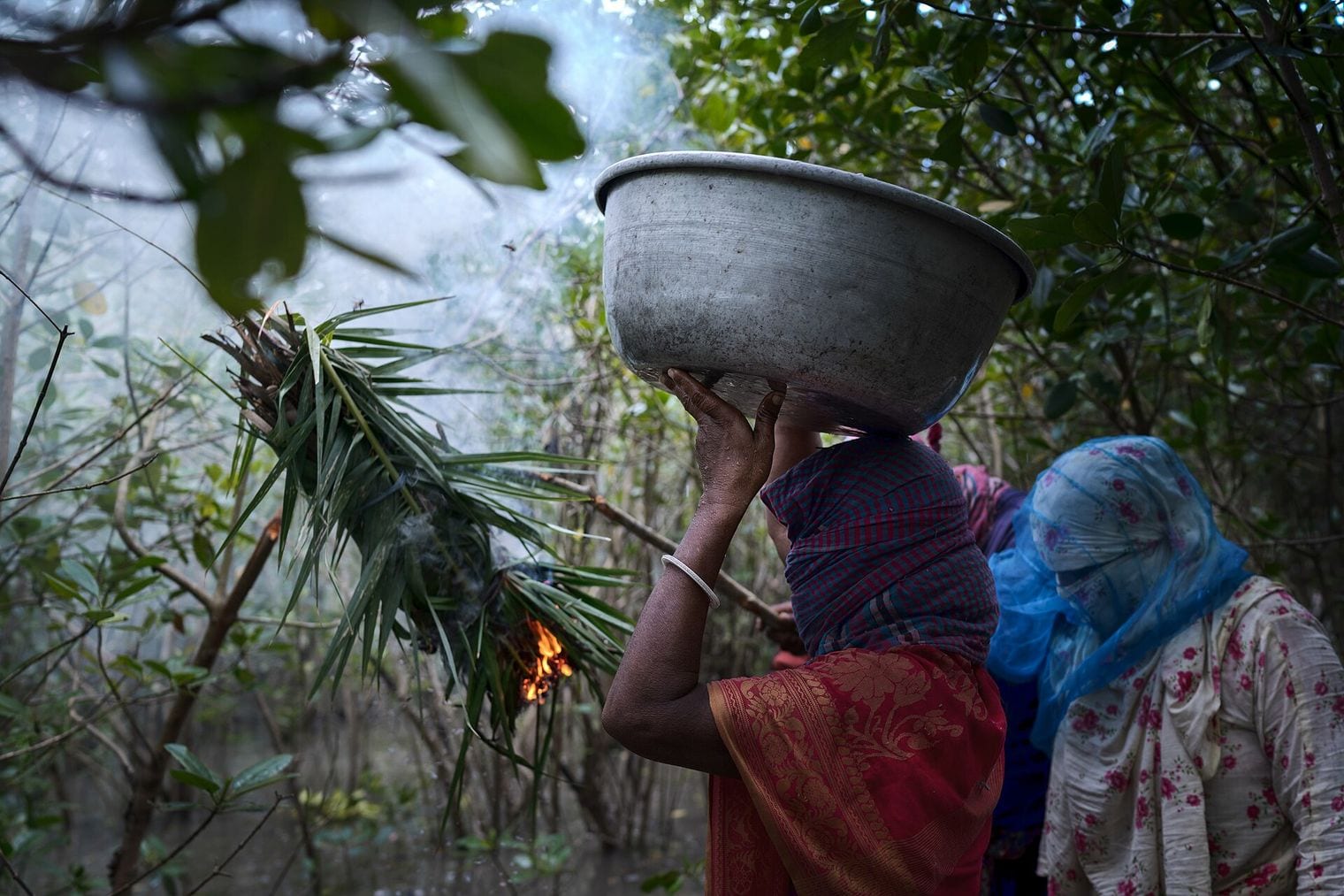
The Indian Sundarbans is the celebrated portion: a UNESCO World Heritage site in West Bengal, reachable by boat from Kolkata, and the only mangrove forest on Earth with a resident tiger population. Bengal tigers here swim between islands and hunt along tidal creeks, behaviour recorded nowhere else in the species' range. Bhitarkanika in Odisha, smaller but denser, holds one of India's largest saltwater crocodile populations.
Bangladesh's 4,281 km² completes the list, and it is the other half of the forest that opened it: the Sundarbans, divided by the India–Bangladesh border, with roughly 60 percent of the whole on the Bangladeshi side. That one forest can appear at both ninth and tenth is the clearest illustration of why this countdown ranks countries — the Sundarbans is a single ecosystem the map cuts in two.
The Bangladeshi portion is protected as the Sundarbans Reserved Forest, a Ramsar site of 601,700 hectares, and UNESCO calls it the largest contiguous mangrove forest in the world. UNESCO also notes that around 30 percent of the Sundarbans is open water — the tidal channels threading between the islands — which is precisely the ambiguity that makes named-forest comparisons unreliable, and a country-level ranking necessary.
FAQ: The World's Largest Mangrove Forests
Which country has the most mangrove forest?
Indonesia, by a wide margin. Global Mangrove Watch maps 31,465 km² of mangrove canopy there — close to a quarter of the world total, and more than three times Brazil's, the next country on the list. Indonesia's mangrove is spread across thousands of islands rather than gathered into any single forest.
What is the largest single mangrove forest in the world?
The Sundarbans, shared by India and Bangladesh, is the forest most often given that title, and UNESCO calls it the largest contiguous mangrove forest in the world. The 10,000 km² figure usually quoted covers the whole delta, though, and roughly 30 percent of that area is open water rather than trees.
Why does this list rank countries rather than named forests?
Because no register publishes comparable extents for individual forests. Published figures for a single delta can differ nearly twentyfold depending on whether a source measured tree canopy, open water, or an entire river basin. Ranking countries against one satellite dataset is the only way ten entries can be compared honestly — the same standard we hold our other global countdowns to.
Are the world's mangroves still shrinking?
The decline has slowed, and in places reversed. Global Mangrove Watch records a small net global gain since the 1980s, but the picture is uneven: Indonesia and Myanmar have lost substantial areas, while India, Australia and the Philippines have gained ground. Restoration programmes now run in most countries on this list.
Where can you actually visit a mangrove forest?
Several entries here have accessible sites. Malaysia's Matang reserve has boardwalks and traditional charcoal kilns at Kuala Sepetang; the Indian Sundarbans is reached by boat from Kolkata; Kakadu National Park in Australia runs river cruises through tidal mangrove; and Bali's Ngurah Rai Forest Park sits minutes from the airport.