The record
The longest glacier in the world is the Hubbard Glacier, in the United States and Canada — 122 km (76 mi), glacier length.
Source: Wikipedia (Hubbard Glacier), which places the longest source 122 km from the snout west of Mount Walsh; corroborated by the US National Park Service, which calls it the longest tidewater glacier in North America at 76 miles. Verified .
Ask which glacier is the longest and you will usually be told the Lambert in Antarctica, at roughly 400 km, or the Fedchenko in Tajikistan, at 77 km. Neither answer survives a consistent rule. This countdown measures one thing only: the centreline of a named glacier along its longest flowline, from the head of its own trunk to its terminus.
Continental ice sheets are set aside, and so is any separately named icefield that merely feeds a glacier, which is why Antarctica's Lambert and Alaska's Bering, whose famous 190 km is quoted with its icefield feeders attached, both sit this one out, along with Greenland's 80 km Ryder.
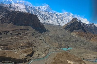
Apply that rule worldwide and the Karakoram loses its crown to the Saint Elias Mountains, where Hubbard, Nabesna and Kaskawulsh all outrun the Fedchenko. Every glacier here still flows today, and they run from 122 km down to 57 km across seven countries, nearly all of them beneath the highest mountains on Earth.
The longest glacier on this list is advancing, not retreating — the Hubbard Glacier has thickened and pushed forward since the first survey in 1895, and twice sealed off Russell Fiord to create the largest glacier-dammed lake in the world.
In 2016 the Kaskawulsh Glacier stole its own river — its retreating snout switched the meltwater from the Slims River, bound for the Bering Sea, into the Kaskawulsh and the Pacific. The Slims dried up within days, in the first documented case of river piracy caused by modern climate change.
There is a spruce forest growing on top of the Klutlan Glacier, rooted in more than a metre of volcanic ash dropped by Mount Churchill some 1,200 years ago and still resting on stagnant ice.
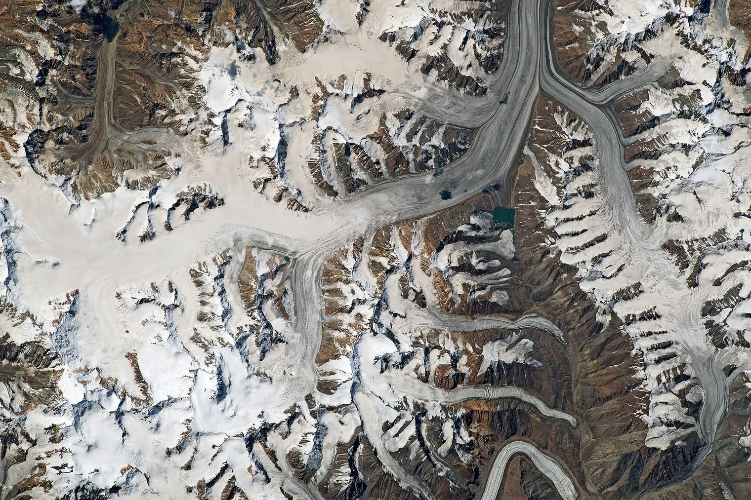
The Biafo Glacier forms half of a 120 km ice corridor — it meets the Hispar Glacier head-on at a 5,128 m pass, creating the longest glacial highway outside the polar regions, crossed entirely on ice.
A lake on the Engilchek Glacier empties itself every year — Lake Merzbacher fills behind an ice dam at up to two metres a day, then drains through tunnels beneath the glacier and is gone within days.
None of these is the single longest glacier on Earth. Antarctica’s Lambert runs roughly 400 km, but it drains an ice sheet and its figure is quoted together with the ice stream feeding it, so it falls outside the rule this ranking applies.
Most of the longest glaciers are protected — Hubbard and Nabesna both lie in Wrangell-St. Elias, the largest national park in the United States, while Kaskawulsh sits in Kluane and Brüggen in Bernardo O’Higgins, the largest in Chile.
11. Hubbard Glacier
Saint Elias Mountains, Alaska and Yukon, United States / Canada
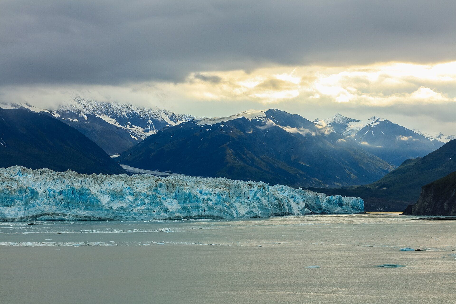
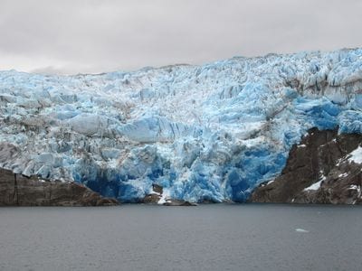
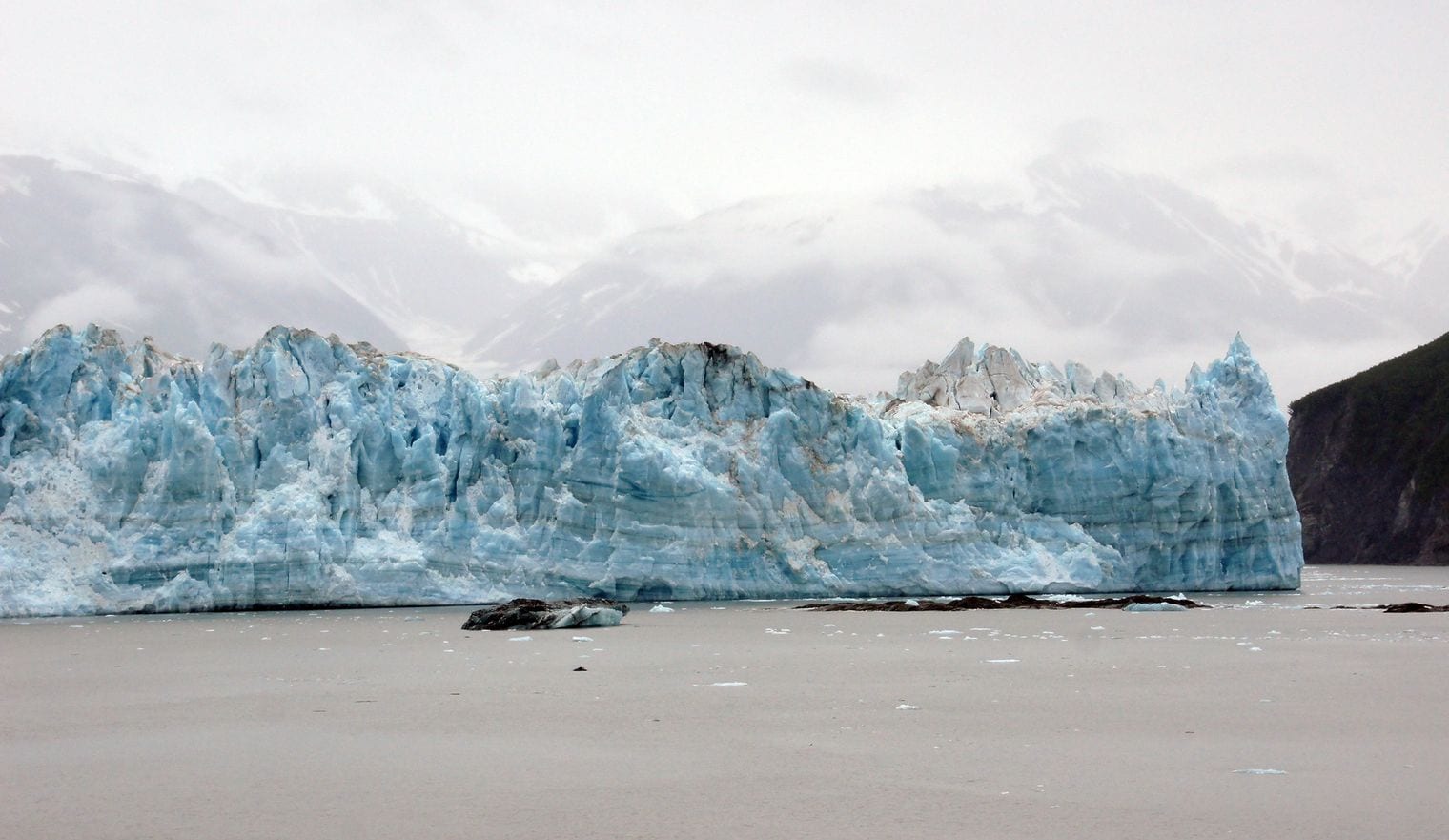
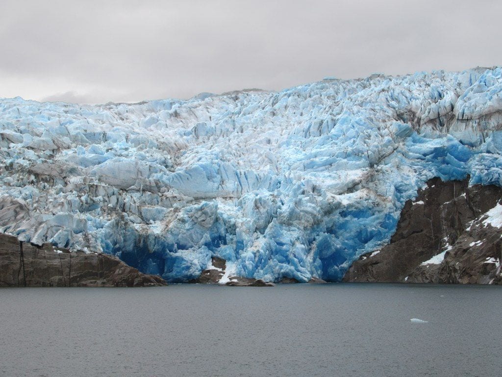
At 122 km76 mi, the Hubbard Glacier is the longest glacier on Earth once ice sheets and their feeder icefields are set aside, and the longest tidewater glacier in North America.
Its longest flowline starts at around 3,400 m near Mount Walsh in the Yukon and runs south-west through the Saint Elias Mountains to a calving face on Disenchantment Bay that is more than six miles across and stands roughly 120 m above the water. That face is the reason most people ever see it: cruise ships hold position offshore while blocks the size of buildings shear away into the sea.
What makes Hubbard genuinely unusual is its direction of travel. It has been thickening and advancing since the first measurements were taken in 1895, against the trend almost everywhere else, and twice, in 1986 and again in 2002, it pushed far enough across the mouth of Russell Fiord to dam it into the largest glacier-dammed lake in the world.
Both dams gave way, the second releasing three cubic kilometres of water in about thirty hours. The glacier straddles the border, drawing its ice from Kluane National Park in Yukon and ending in Wrangell-St. Elias in Alaska.
At 85 km53 mi, the Nabesna is the longest valley glacier in North America and, by the usual reckoning, the longest interior valley glacier anywhere, meaning one that never reaches the sea. It pours off the icefield draped across the northern flanks of Mount Wrangell, a broad shield volcano still warm enough to vent steam near its summit, then runs north through the Wrangell Mountains to feed the Nabesna River.
Its remoteness is relative. The gravel Nabesna Road is one of only two roads that penetrate Wrangell-St. Elias National Park, and it ends within striking distance of the glacier, which makes this one of the few glaciers on this scale you can approach without chartering a bush plane.
The ice has been in slow, near-continuous retreat since at least the early 1900s, and the braided outwash plain below the snout, grey and treeless and rearranged by meltwater every season, is the visible record of that withdrawal.
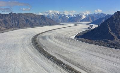
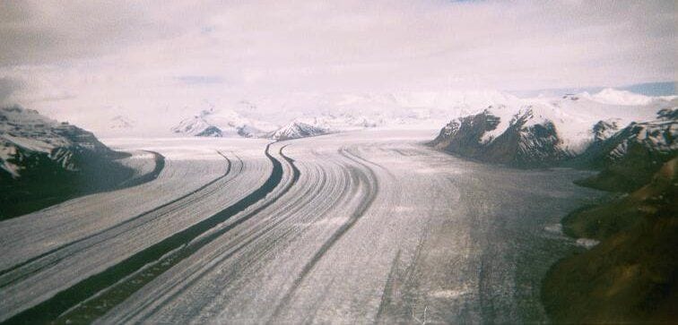
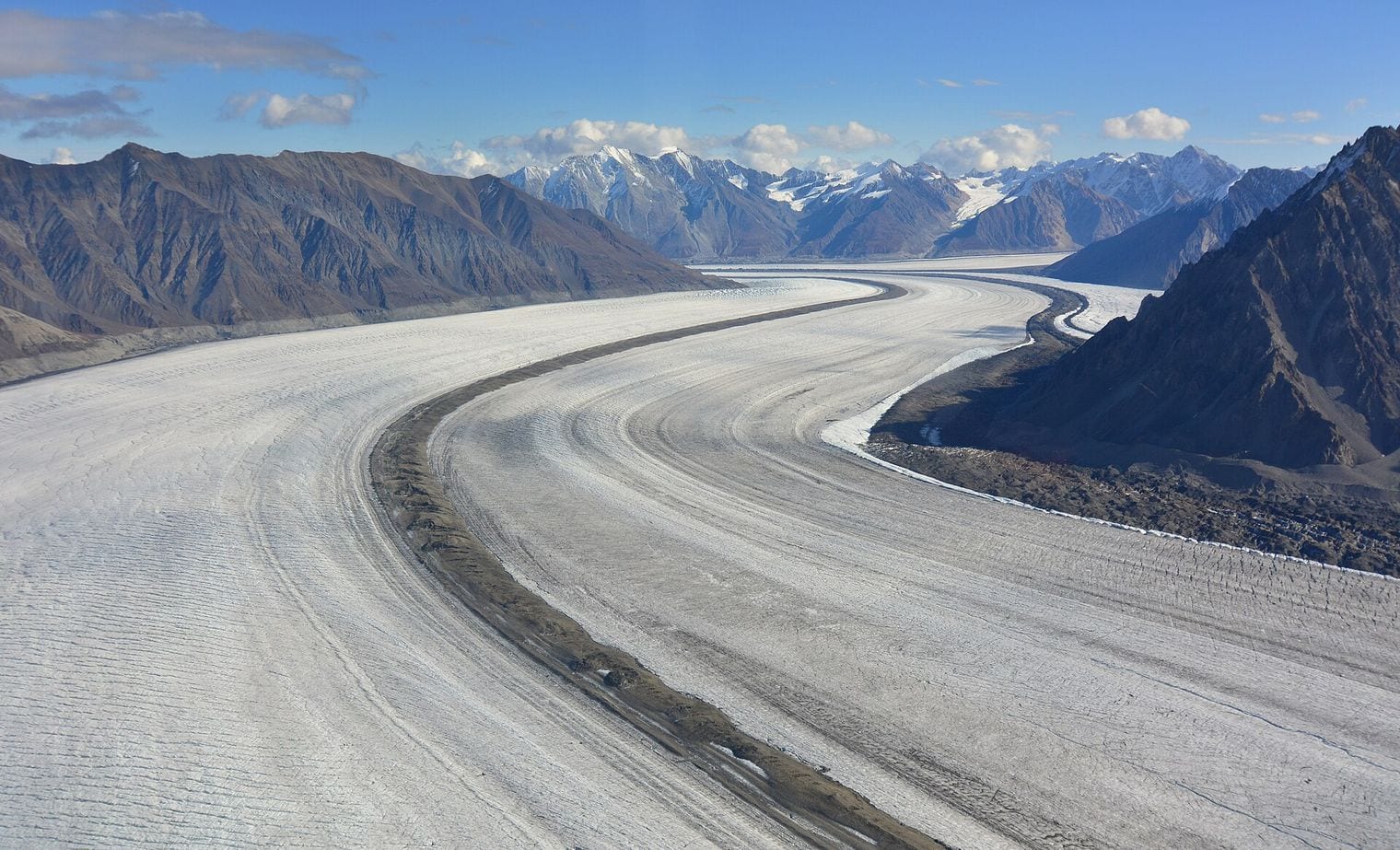
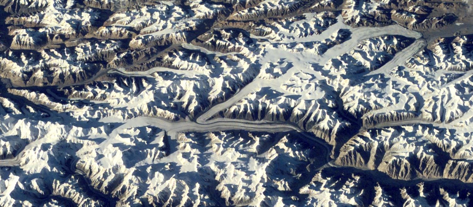
At 78 km48 mi, the Kaskawulsh is the largest valley glacier draining the Kluane Icefields, formed where its Central and North Arms converge into a single trunk several kilometres across and striped with dark medial moraines that make its internal structure legible from the air.
In spring 2016 it did something nobody had watched a glacier do in modern times. Its retreating snout re-routed its own meltwater: instead of running north down the Slims River into Kluane Lake and eventually the Bering Sea, the discharge switched east into the Kaskawulsh River and the Pacific.
The Slims dried to a dust-blown flat within days. Published in Nature Geoscience in 2017, it stands as the first documented case of river piracy driven by contemporary climate change. Kluane National Park protects the glacier, and a trail still runs up the abandoned riverbed toward the ice.
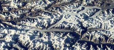
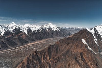
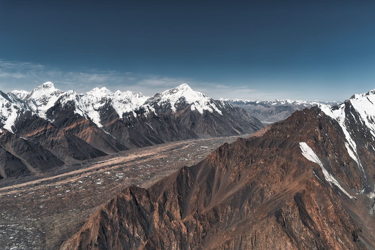
At 77 km48 mi, the Vanch-Yakh, long known as the Fedchenko and officially renamed by Tajikistan in 2023, is the glacier most often called the longest outside the polar regions, a claim this list revises rather than repeats. It fills a deep trench in the Yazgulem Range of the western Pamirs, reaching around 1,000 m thick at its deepest and forming the largest body of ice in the Pamirs.
It is also among the most closely studied. The Gorbunov station, perched on its western margin at roughly 4,200 m, ran continuous meteorological and glaciological observations from 1935 until 1991, leaving an unusually long record for ice this hard to reach. Getting there today still means a multi-day trek through Gorno-Badakhshan with no road anywhere near the glacier, which is why it turns up far more often in satellite imagery than in photographs taken from the ground.
At 76 km47 mi, the Siachen is the longest glacier in the Karakoram, draining south-east from the Indira Col watershed to give rise to the Nubra River. That 76 km figure follows the longest-route convention used for measuring rivers; measured from Indira Col alone the glacier comes out nearer 70 km, which accounts for most of the conflicting numbers you will find quoted for it.
It is better known for something else entirely. Since 1984 it has been the highest battlefield on Earth, with Indian and Pakistani positions held above 6,000 m, where cold and altitude have historically caused more casualties than fighting. India administers the glacier and Pakistan contests it, so access is tightly controlled: a limited army-run trek reaches the base camp, but the ice itself remains effectively off the map for ordinary visitors.
66. Kahiltna Glacier
Alaska Range, Denali National Park, Alaska, United States
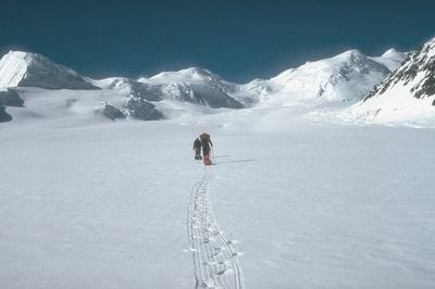
At 71 km44 mi, the Kahiltna is the longest glacier in the Alaska Range, running south from Kahiltna Pass at about 3,150 m between Mount Foraker and Mount Hunter before spilling out into the lowlands north-west of Talkeetna.
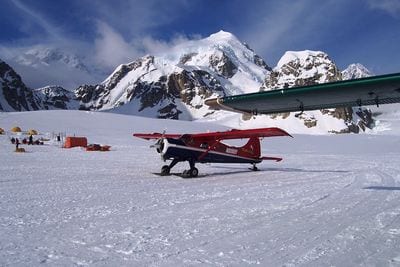
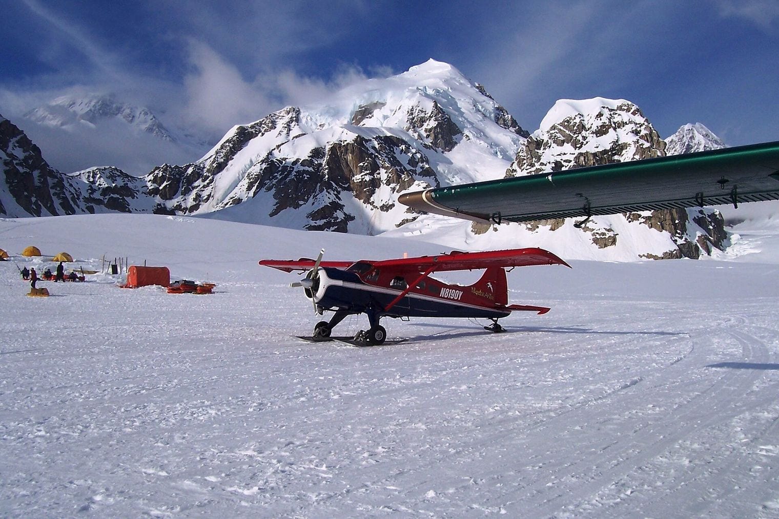
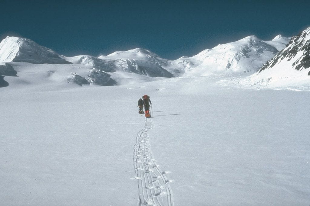
Almost every attempt on Denali begins on it. The mouth of the Southeast Fork, at roughly 2,100 m, holds the seasonal airstrip that serves as Denali base camp, reached by ski-equipped bush planes flying in from Talkeetna through the mountain's outer ramparts.
From there the standard West Buttress route works up the glacier before turning onto the peak itself. The same flights run as glacier-landing sightseeing trips for non-climbers, which makes the Kahiltna one of the easiest of the world's great glaciers to actually stand on.
At 67 km42 mi, the Biafo runs north-west through the Karakoram from the Braldu valley toward Snow Lake, a vast high basin of accumulating ice that early European explorers mistook for an inland ice cap.
Its real distinction is what it joins. At Hispar La, a pass at 5,128 m, the Biafo meets the 49 km Hispar Glacier flowing the opposite way, and together the two form a continuous corridor of ice roughly 120 km long, the longest glacial highway outside the polar regions.
Walking it end to end, from Askole in Baltistan over the pass and down into the Hunza valley, is one of the great mountain traverses, and it is done entirely on ice with no intervening valley to descend into.
88. Brüggen Glacier
Bernardo O'Higgins National Park, Southern Patagonian Ice Field, Chile
At 66 km41 mi, the Brüggen, also called the Pío XI, is the longest glacier in the southern hemisphere outside Antarctica and the largest western outflow from the Southern Patagonian Ice Field. It drops from the icefield through temperate rainforest to a calving front in the fjords of Chilean Patagonia, an unusually low terminus for ice on this scale.
It is also advancing, which in Patagonia makes it close to unique. Between 1945 and 1976 it surged some 5 km across Eyre Fjord, reaching the western shore and cutting Lake Greve off from the sea while adding nearly 60 square kilometres of ice, at a time when almost every neighbouring glacier was losing ground.
It lies deep inside Bernardo O'Higgins National Park, the largest national park in Chile, and no road reaches it: visitors arrive by boat through the fjords from Puerto Natales or Puerto Edén.
99. Klutlan Glacier
Saint Elias Mountains, Alaska and Yukon, United States / Canada
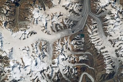
At 64 km40 mi, the Klutlan flows east out of the Saint Elias Mountains in Alaska, crosses into the Yukon and turns north to form the headwaters of the Klutlan River. Much of its lower length lies buried under rock debris, so from the air it reads less as white ice than as a grey, rubbled tongue winding between ridges.
That covering produced one of the strangest sights on any glacier anywhere. Roughly 1,200 years ago the eruption of Mount Churchill dumped the White River Ash across this corner of Alaska and the Yukon, laying more than a metre of tephra over the Klutlan's stagnant lower ice.
A white spruce forest took root in it, and mature trees now grow on what is still, underneath, a glacier: a multi-generation woodland standing on ice that is quietly melting away beneath its roots.
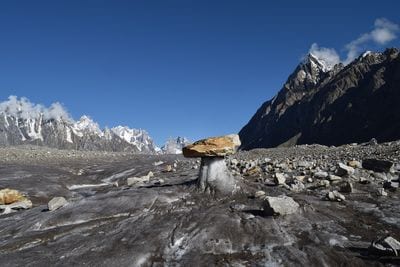
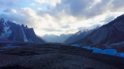
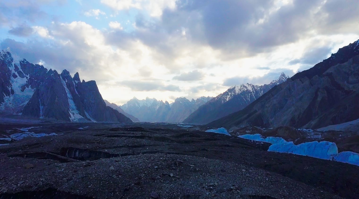
At 63 km39 mi, the Baltoro is the best known glacier in the Karakoram and the approach route to more high mountains than almost any comparable stretch of ice on Earth. It runs east from the Braldu valley past the granite spires of the Trango Towers and the bulk of Masherbrum toward the head of the range.
It culminates at Concordia, roughly 4,600 m up, where the Baltoro meets the Godwin-Austen and Vigne glaciers in an amphitheatre ringed by four of the world's fourteen eight-thousanders: K2 at 8,611 m, Broad Peak at 8,051 m, and Gasherbrum I and II at 8,080 m and 8,034 m.
The American climber Galen Rowell called it the Throne Room of the Mountain Gods, and few places anywhere put four 8,000 m peaks in a single field of view. The trek in from Askole takes roughly a week each way.
At 60.5 km38 mi, the Engilchek, usually written South Inylchek, is the longest glacier in the Tian Shan, running west from the massif that carries Khan Tengri and Jengish Chokusu, at 7,439 m the high point of the entire range.
Where its northern and southern arms meet sits Lake Merzbacher, one of the most reliably dramatic features in glaciology. Meltwater from the northern arm pools behind an ice dam formed by the southern one, filling through the summer at up to two metres a day, then drains through tunnels beneath the ice and empties almost entirely within a few days.
The outburst comes at least once a year and has been arriving progressively earlier as summers warm. Base camps out on the ice serve climbers heading for Khan Tengri, most of them flown in by helicopter.
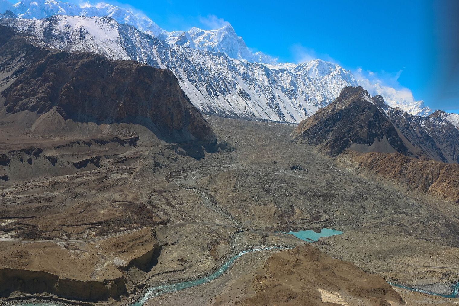
At 57 km35 mi, the Batura is the northernmost of the great Karakoram glaciers, draining the Batura Muztagh eastward toward the Hunza valley beneath Batura Sar, which at 7,795 m ranks among the highest peaks in the range.
It is by some margin the easiest of these Karakoram giants to reach. The Karakoram Highway, the paved road running between Pakistan and China over the Khunjerab Pass, passes within a few kilometres of the glacier's snout near the villages of Passu and Gulmit, so the terminus can be visited on a day walk rather than a week-long expedition.
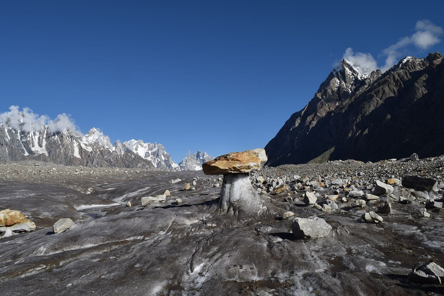
The classic short trek follows the lateral moraine for views back along the ice toward the Passu Cones, the row of serrated peaks that rises straight out of the valley behind.
FAQ: The World’s Longest Glaciers
What is the longest glacier in the world?
By the rule this ranking applies, the Hubbard Glacier in Alaska and the Yukon, at 122 km. Antarctica’s Lambert Glacier is far longer at roughly 400 km, but it drains an ice sheet and its length is quoted together with the ice stream feeding it, which places it outside the comparison used here.
Why isn’t the Fedchenko Glacier ranked first?
The Vanch-Yakh, long called the Fedchenko, is widely described as the longest glacier outside the polar regions at 77 km. That description overlooks North America. Hubbard, Nabesna and Kaskawulsh are all non-polar glaciers with published trunk lengths above it, so the Vanch-Yakh ranks fourth on this list rather than first. Length and altitude do not travel together: the Pamirs and the Karakoram carry the world’s highest mountains, but the longest ice is in Alaska and the Yukon.
Which of the world’s longest glaciers can you actually visit?
Hubbard is the easiest, seen from ships holding position in Disenchantment Bay. Nabesna sits near the end of a gravel road, Kahiltna receives ski-plane landings from Talkeetna, and Batura lies a short walk from the Karakoram Highway. Most of the reachable ones sit inside national parks. Siachen, held by the Indian military, is off limits to ordinary travellers.
How is the length of a glacier measured?
Along the centreline of its longest flowline, from the head of its own trunk down to its terminus. What matters is where you stop: quoting a glacier together with the icefield or ice stream that feeds it can inflate the figure enormously, which is why published lists of the longest glaciers disagree so sharply.
Are the world’s longest glaciers shrinking?
Most of them are. Nabesna has retreated almost continuously since the early 1900s, and Kaskawulsh’s retreat re-routed an entire river in 2016. Two run against the trend: Hubbard has thickened and advanced since 1895, and Chile’s Brüggen surged kilometres across a fjord. Lengths move, so any ranking is a dated snapshot.