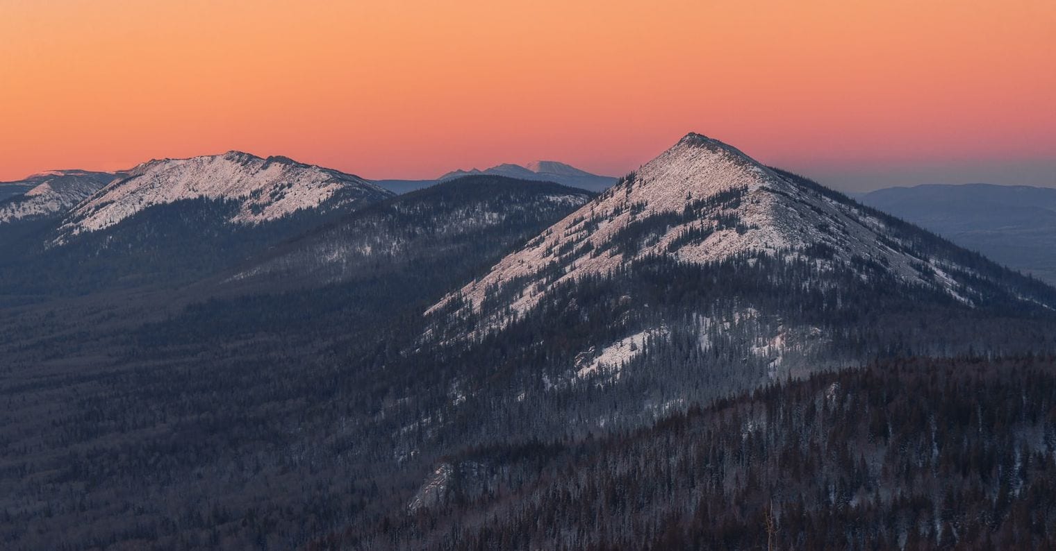
Argentina / Bolivia / Chile / Colombia / Ecuador / Peru / Venezuela
The record
The longest mountain range in the world is the Andes — 7,000 km (4,350 mi), range length.
It spans Argentina, Bolivia, Chile, Colombia, Ecuador, Peru and Venezuela. Source: Wikipedia — List of longest mountain chains on Earth. Verified .
The longest mountain range on Earth is one that almost nobody has ever seen. The mid-ocean ridge system winds some 65,000 km around the planet, and very nearly all of it sits beneath the sea. This countdown is about the ranges you can stand on. Every entry here is ranked by a single measurement — continuous above-water length along the range's own spine — running from 2,500 km at the foot of the list to 7,000 km at the top.
That one rule does most of the work. It keeps out the submarine ridges, and it keeps out the American Cordillera, the near-unbroken wall of rock from Alaska to Tierra del Fuego, which at 11,000 km and more is a chain of a dozen named ranges rather than a single one. Where two ranges tie on length, the higher summit takes the higher rank. The twelve that qualify reach every continent, Antarctica included.
Fun Facts About the World’s Longest Mountain Ranges
The longest mountain range on Earth is almost entirely underwater — the global mid-ocean ridge system runs about 65,000 km, roughly nine times the length of the Andes. Only above-water ranges are counted here.
The second-longest range is not a mountain range in the usual sense — the Southern Great Escarpment is the eroded rim of the southern African plateau rather than a belt of folded peaks, yet it runs a continuous 5,000 km.
The Kunlun is crossed by only two roads — across the entire 3,000 km of the Kunlun Mountains, just two highways traverse the range, making it one of the least penetrated mountain systems on the planet.
There is a three-way tie at exactly 2,500 km — the Tian Shan, the Atlas Mountains and the Ural Mountains all measure the same length, so this list separates them by the height of their highest summit.
The Appalachians are 45 times longer than they are wide — the Appalachian Mountains stretch 3,200 km but span only about 70 km across, the narrowest profile of any range on this list.
11. Andes
Western South America, Argentina / Bolivia / Chile / Colombia / Ecuador / Peru / Venezuela
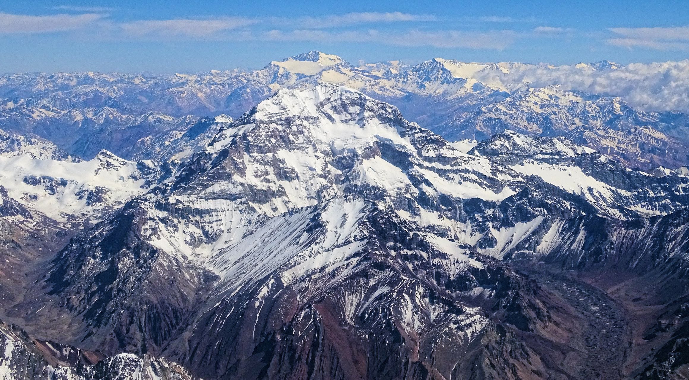
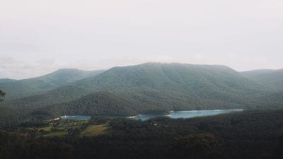
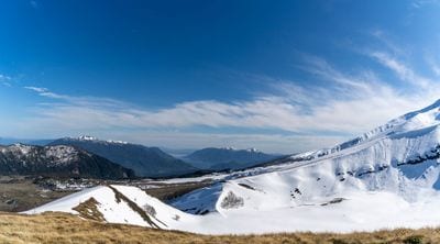
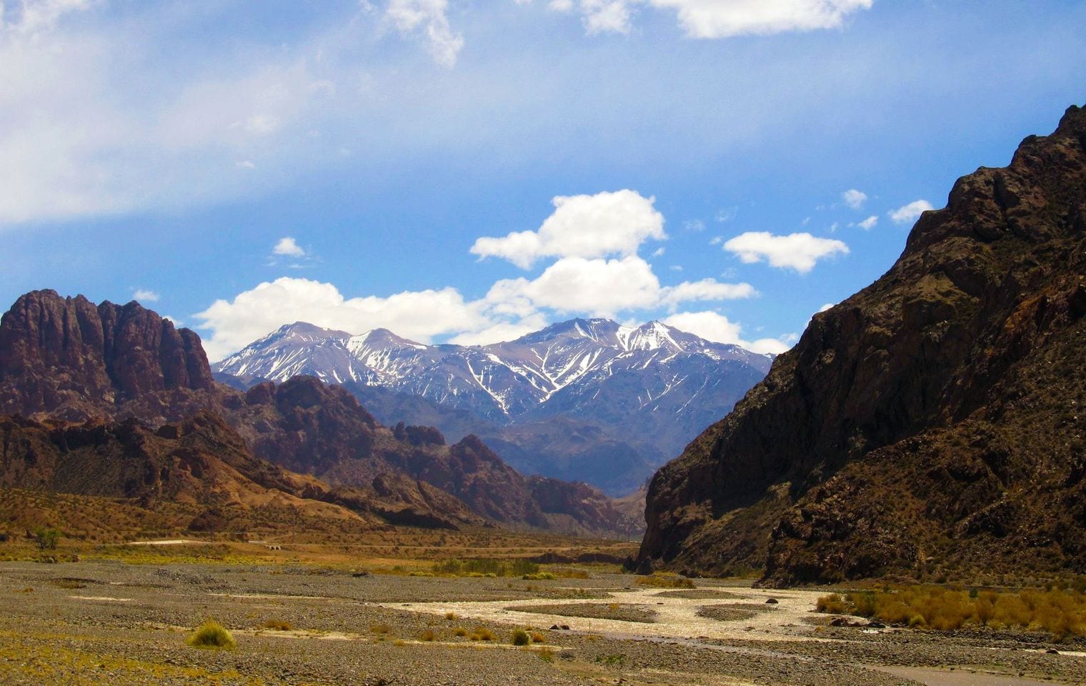
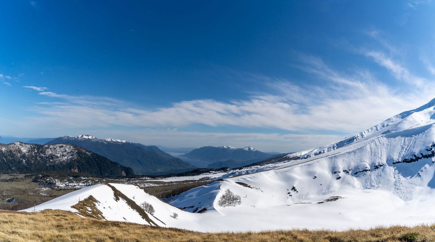
At 7,000 km, the Andes is the longest mountain range above water on Earth, and nothing else comes close — it runs some 2,000 km further than the range in second place. It traces the entire western edge of South America through seven countries, from Venezuela and Colombia in the north, down through Ecuador, Peru and Bolivia, to the long Chilean and Argentine spine that runs out near Tierra del Fuego.
The range carries Aconcagua, at 6,962 m the highest summit anywhere outside Asia, along with a string of high volcanoes and the broad Altiplano plateau. Its width is nearly as striking as its length: across parts of Bolivia the Andes spreads more than 500 km from side to side, wide enough to hold whole cities and lakes between its outer ridges.
22. Southern Great Escarpment
Southern Africa, South Africa / Lesotho / Eswatini / Namibia / Angola / Zimbabwe
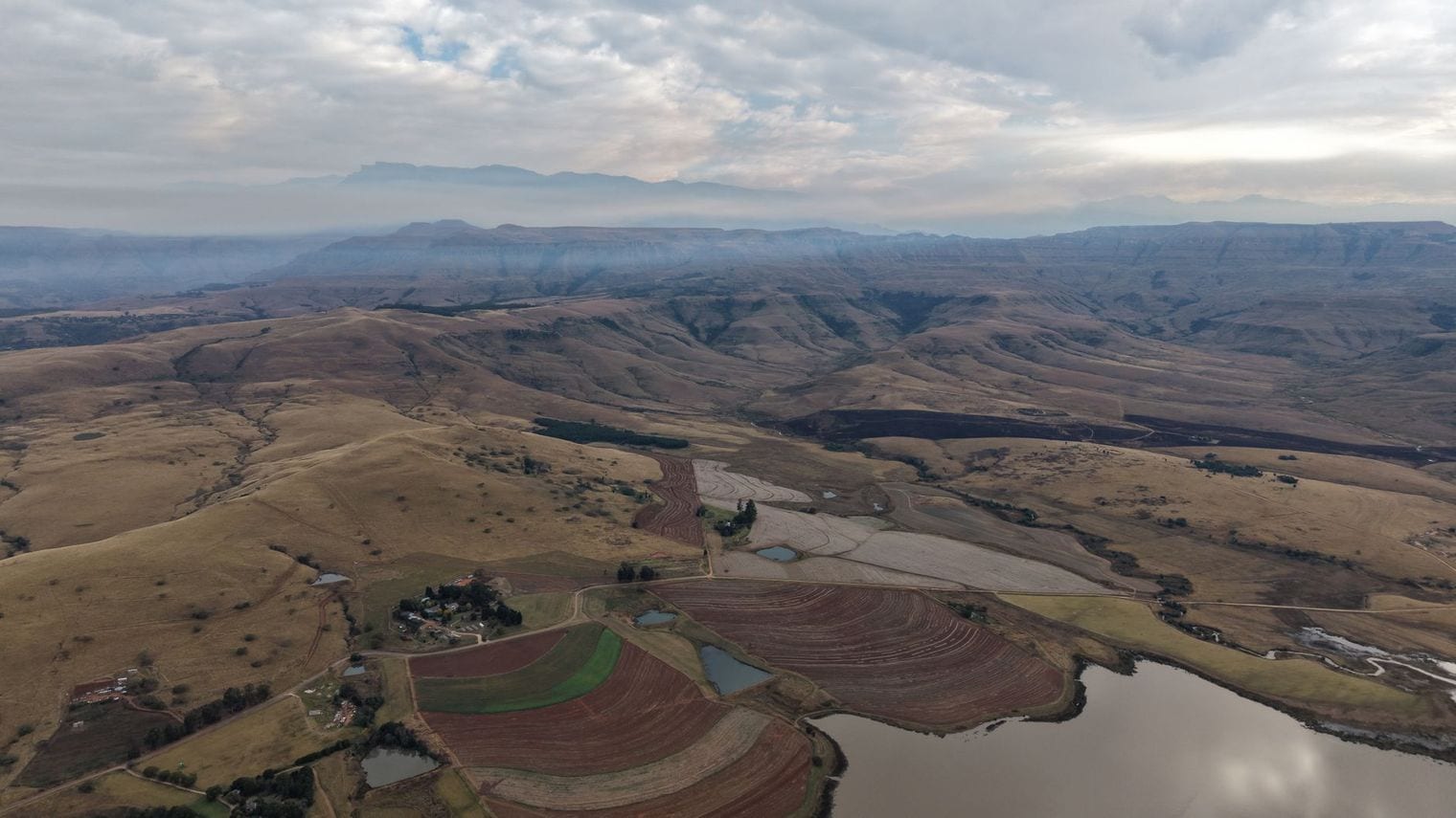
At 5,000 km, the Southern Great Escarpment is the least famous entry in this top three by a wide margin, and the one most likely to raise an eyebrow. It is not a folded range thrown up by colliding plates but the eroded rim of the southern African plateau — a near-continuous step in the landscape that curves through Angola, Namibia, South Africa, Lesotho, Eswatini and Zimbabwe.
Its best-known stretch is the Drakensberg, where the escarpment rises hardest and carries Mafadi, the high point of the whole system at 3,482 m. Elsewhere it is gentler and easy to miss from a car window, but the pattern holds the entire way round: high interior plateau, a sharp drop, and a coastal plain below.
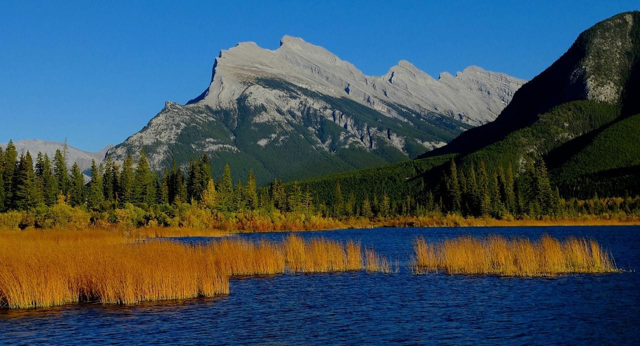
At 4,800 km, the Rocky Mountains run from the Liard River in northern British Columbia all the way south to the basin country of New Mexico, forming the backbone of western North America. The range spans two countries and, in the United States alone, cuts through the better part of five states.
Mount Elbert in Colorado is the high point at 4,401 m, though the Rockies are known more for breadth than for any single summit — the range is roughly 300 km wide. The Continental Divide runs their length, splitting the drainage of a continent so that rain falling a few metres apart can end up in different oceans.
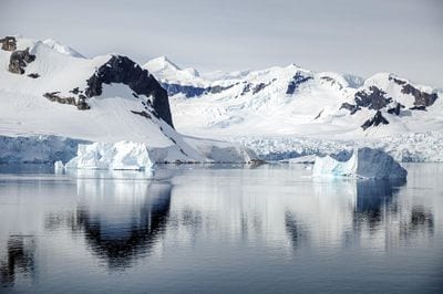
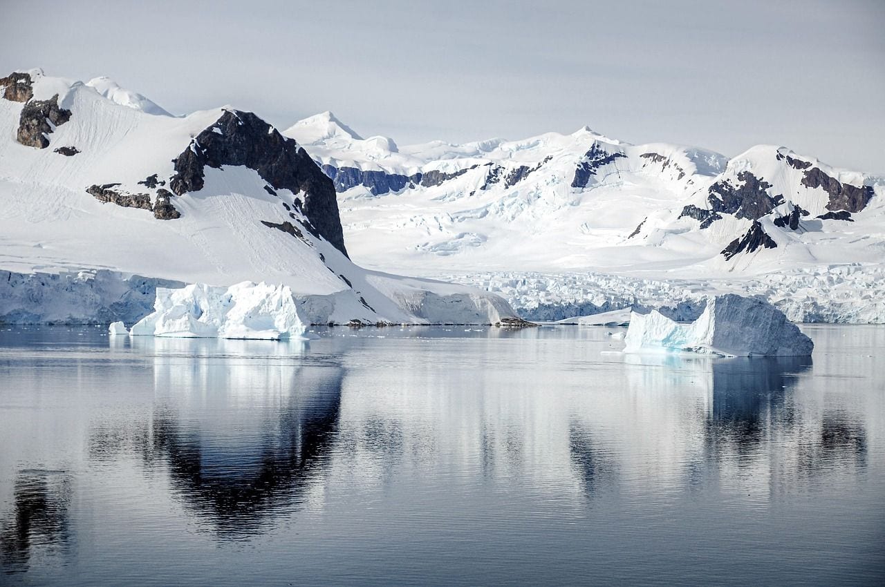
At 3,500 km, the Transantarctic Mountains cut clean across Antarctica from Cape Adare on the Ross Sea to Coats Land on the Weddell side, dividing the continent into its eastern and western halves. It ties with the Great Dividing Range on length and takes the higher rank here on this list's tiebreak: the higher summit wins, and Mount Kirkpatrick at 4,528 m clears Australia's best by more than 2,000 m.
Much of the range is buried. The ice sheet laps against it and in places pours straight through it in vast outlet glaciers, so what shows above the surface is a run of ice-free ridges and the bare Dry Valleys — some of the starkest, driest ground anywhere on the planet.
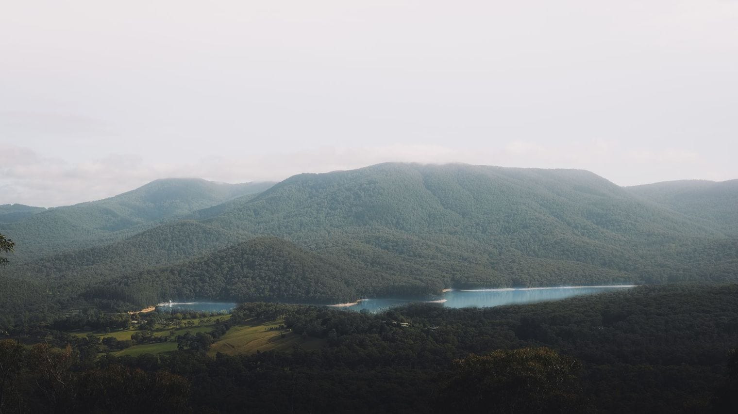
At 3,500 km, the Great Dividing Range follows Australia's eastern and southeastern coasts from the tropical north of Queensland down into western Victoria, never straying far inland. For most Australians it is simply the high ground between the coastal cities and the dry interior beyond.
Mount Kosciuszko, at 2,228 m, is the highest point in mainland Australia — modest by the standards of this list, and a useful reminder that these ranges are ranked on length rather than height. The range earns its name honestly: it divides the rivers running east to the Pacific from those draining west into the interior.
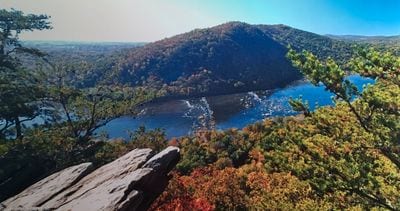
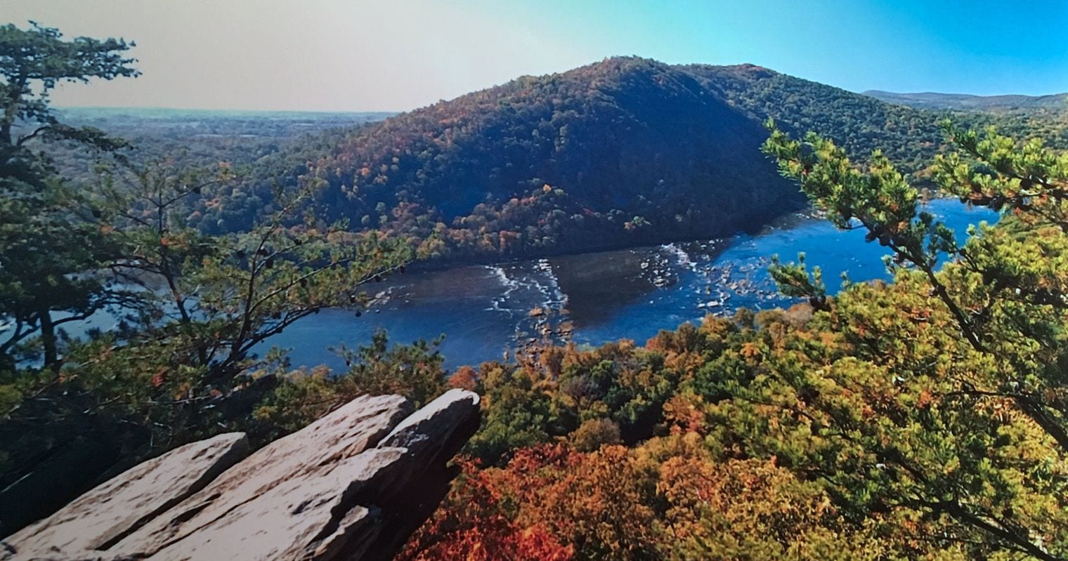
At 3,200 km, the Appalachian Mountains reach from Newfoundland in eastern Canada down through New England and the Mid-Atlantic to central Alabama. They are far older than the Rockies, worn low and rounded over a few hundred million years, and unusually narrow for their length — only about 70 km across.
Mount Mitchell in North Carolina is the summit at 2,037 m, the highest ground in eastern North America. The range's long parallel ridges and valleys did much to decide where roads, railways and towns went in the eastern United States, and the Appalachian Trail traces a good part of its length on foot.
At 3,100 km, the Chilean Coast Range runs almost the entire length of Chile's Pacific shore, from Morro de Arica in the far north to the Taitao Peninsula in the south, always parallel to and west of the Andes. It is worth flagging that some references file it as a subrange of the Andes rather than a range in its own right; counted separately, as the standard lists do, its length places it seventh.
Cerro Vicuña Mackenna is the high point at 3,114 m. The range's real influence is on Chile's weather: it casts a rain shadow eastward, which is why its seaward slopes carry far lusher vegetation than the sheltered valleys immediately behind them.
88. Kunlun Mountains
Northern edge of the Tibetan Plateau, Western China
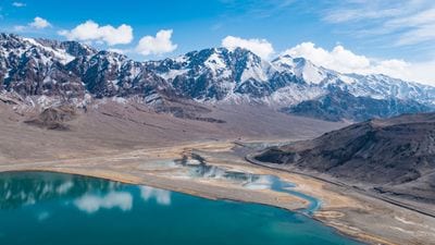
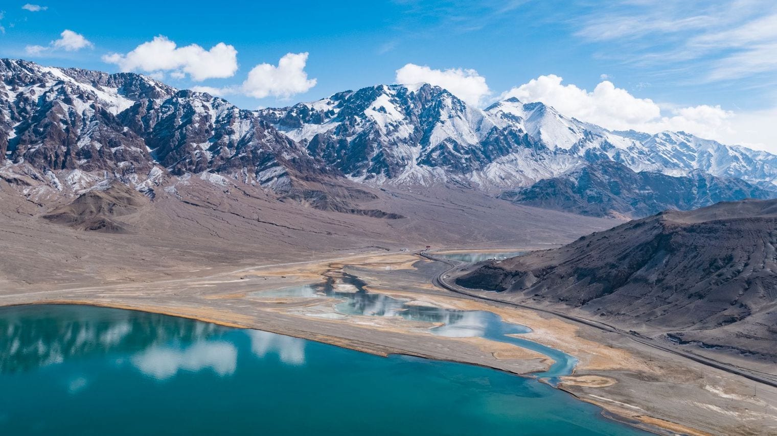
At 3,000 km, the Kunlun Mountains form the northern rim of the Tibetan Plateau, running east from the Pamirs between Xinjiang and Tibet and on into Qinghai. That figure takes the range in its broad sense; some references stop it at the Kunlun Pass and give roughly 2,000 km instead, which is the single largest measurement disagreement on this list.
Liushi Shan tops it at 7,167 m, and the range holds an average altitude of 5,500 to 6,000 m along much of its length. It is also among the emptiest places here: across those 3,000 km the Kunlun is crossed by just two roads. In Chinese tradition it carries the title Forefather of Mountains.
99. Himalayas
Southern Asia, Nepal / India / China / Bhutan / Pakistan
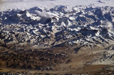
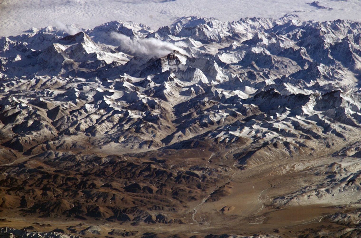
At 2,600 km, the Himalayas arc across southern Asia through Nepal, India, China, Bhutan and Pakistan. That length is measured on the Himalaya proper — the neighbouring Karakoram and Hindu Kush are separate ranges, and lists that quietly fold them in report a longer figure than the one used here.
It is comfortably the highest range on Earth, carrying Mount Everest at 8,849 m and the great majority of the world's peaks above 8,000 m. It is also among the youngest, thrown up by the collision of the Indian plate with Asia and still rising today, which is why the region remains so seismically active.
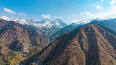
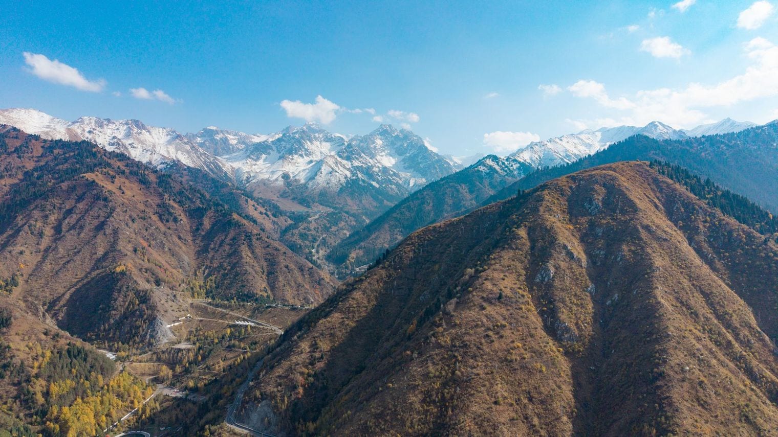
At 2,500 km, the Tian Shan — the Celestial Mountains — runs west-southwest to east-northeast across Central Asia along the borders of China, Kyrgyzstan and Kazakhstan. It is the first of three ranges tied at 2,500 km, and it takes the highest of those three places on this list's summit tiebreak.
Jengish Chokusu, at 7,439 m, is the high point and the most northerly peak above 7,000 m in the world. Lake Issyk-Kul sits in a deep basin enclosed by the range, and the old Silk Road threaded these passes for centuries — the reason so many of its valleys carry towns far older than the borders around them.
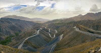
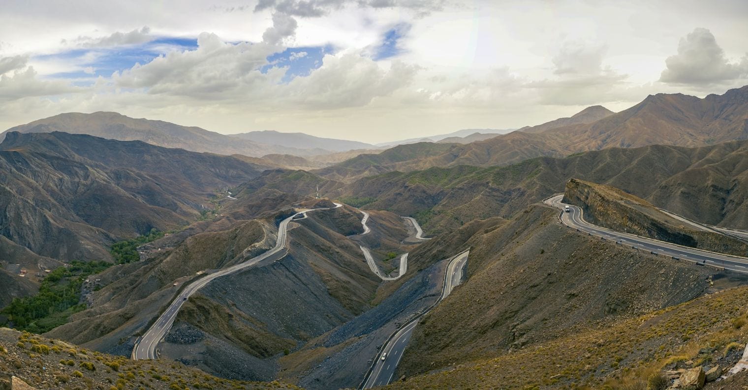
At 2,500 km, the Atlas Mountains stretch across northwest Africa through Morocco, Algeria and Tunisia, separating the Mediterranean and Atlantic coasts from the Sahara beyond. Tied on length with the Tian Shan and the Ural, it ranks second of the three on the summit tiebreak.
Toubkal, in Morocco's High Atlas, is the high point at 4,167 m. The Atlas is really a series of linked ranges rather than one continuous ridge, and it is the barrier that keeps the coastal strip green and cultivable while true desert begins on the other side of it.
At 2,500 km, the Ural Mountains run north to south from the Kara Sea down towards the Kazakh Steppe, and they are traditionally taken as the dividing line between Europe and Asia. Third of the three ranges tied at 2,500 km, it places last of them on the summit tiebreak.
Mount Narodnaya is the highest point at just 1,895 m — low for a range this long, and a sign of how old and worn it is. The Urals are richly mineralised, and Soviet-era industry built a string of cities along them to work the iron, copper and gemstones found in the rock.
FAQ: The World's Longest Mountain Ranges
What is the longest mountain range in the world?
The Andes, at about 7,000 km, is the longest mountain range above water. It runs down the western edge of South America through seven countries. If underwater ranges are counted, the global mid-ocean ridge system is far longer at roughly 65,000 km, but almost none of it breaks the surface.
Why is the mid-ocean ridge not ranked on this list?
This countdown ranks continuous above-water length, so submarine ranges are excluded by design. The mid-ocean ridge system winds about 65,000 km through every ocean basin, which would make every land range look trivial beside it. Ranking only the ranges you can actually walk on keeps the comparison meaningful.
Is the Himalaya the world's longest mountain range?
No. The Himalaya is the highest range on Earth but only the ninth-longest here, at about 2,600 km. Some of the confusion comes from lists that merge it with the neighbouring Karakoram and Hindu Kush, which are separate ranges. Measured on its own, it is well under half the length of the Andes.
Why do sources give different lengths for the same mountain range?
Because the endpoints are a judgement call. Ranges rarely stop cleanly, so where one is judged to end can move a figure by hundreds of kilometres. The Kunlun is the clearest case on this list: measured broadly it runs 3,000 km, but references that stop it at the Kunlun Pass give roughly 2,000 km.
Which continent has the longest mountain range?
South America, by a wide margin. The Andes runs about 7,000 km along the continent's western edge, some 2,000 km further than the next-longest range anywhere on Earth. South America also holds the seventh-longest, the Chilean Coast Range, which runs parallel to the Andes down Chile's Pacific coast.