By the City Viking editorial teamPublished Ranked by total route length · 13 min read
Last verified Checked before launchOct 30, 202615 sources4 publishers13 encyclopedias & research2 venues & other sitesPublished · Nov 1, 2026Researched and checked before it went liveClick for every source and the full change log.
The record
over 24,140km15,000 miles
Pan-American Highway
United States / Canada / Mexico / Guatemala / El Salvador / Honduras / Nicaragua / Costa Rica / Panama / Colombia / Ecuador / Peru / Chile / Argentina / Brazil
The record
The longest road in the world is the Pan-American Highway — over 24,140km (15,000 miles), total route length.
It spans the United States, Canada, Mexico, Guatemala, El Salvador, Honduras, Nicaragua, Costa Rica, Panama, Colombia, Ecuador, Peru, Chile, Argentina and Brazil. Source: guinnessworldrecords.com. Verified .
The Trans-Siberian Highway runs for more than 11,000 km across Russia, and India's Golden Quadrilateral for 5,846 km, yet neither is on this list: one is an informal name for a chain of separately numbered roads, the other a project name for four national highways. This list ranks the 15 longest roads in the world, from the Pan-American Highway at over 24,140 km to Asian Highway 3 at 7,331 km, and between them they reach every inhabited continent.
Length here is the total length of one officially designated route under one number or one name, as its designating body states it: the UN's Asia-Pacific commission, ESCAP, for the Asian Highways, the African Union for the Trans-African Highways, China's Ministry of Transport for its national highways and Guinness World Records for the Pan-American Highway.
Only designations in force in October 2026 count, so China's abolished G010 is out, and so are whole networks, investment corridors and single-country sections of cross-border routes.
Three Chinese highways make a ring round the country.G219 along the western and southern borders, G331 along the northern border and G228 along the coast meet in Xinjiang, Liaoning and Guangxi, and together they run for more than 27,000 km.
Two numbered roads link Tokyo and Lisbon.Asian Highway 1 ends at Turkey's border with Bulgaria, west of Istanbul, where European route E80 takes over for Lisbon, and Asian Highway 5 ends at the same border crossing point.
A 106 km gap stops the longest road of all. The Pan-American Highway breaks at Yaviza in Panama and resumes at Turbo in Colombia, and no car ferries have crossed the Darién Gap for decades, so drivers ship their cars around it.
A street in Zambia remembers an imperial road plan. Lusaka's main street, Cairo Road, is named after the British Empire's Cape to Cairo road, the idea behind today's Cairo–Cape Town Highway.
Australia's ring road skips the capital.Highway 1 joins every mainland state capital, but not Canberra, and over a million people use some part of it every day.
Two cities each start two of these roads. Cairo is the starting point of both the Cairo–Cape Town and Cairo–Dakar highways, and Dandong, on China's border with North Korea, of both G331 and G228.
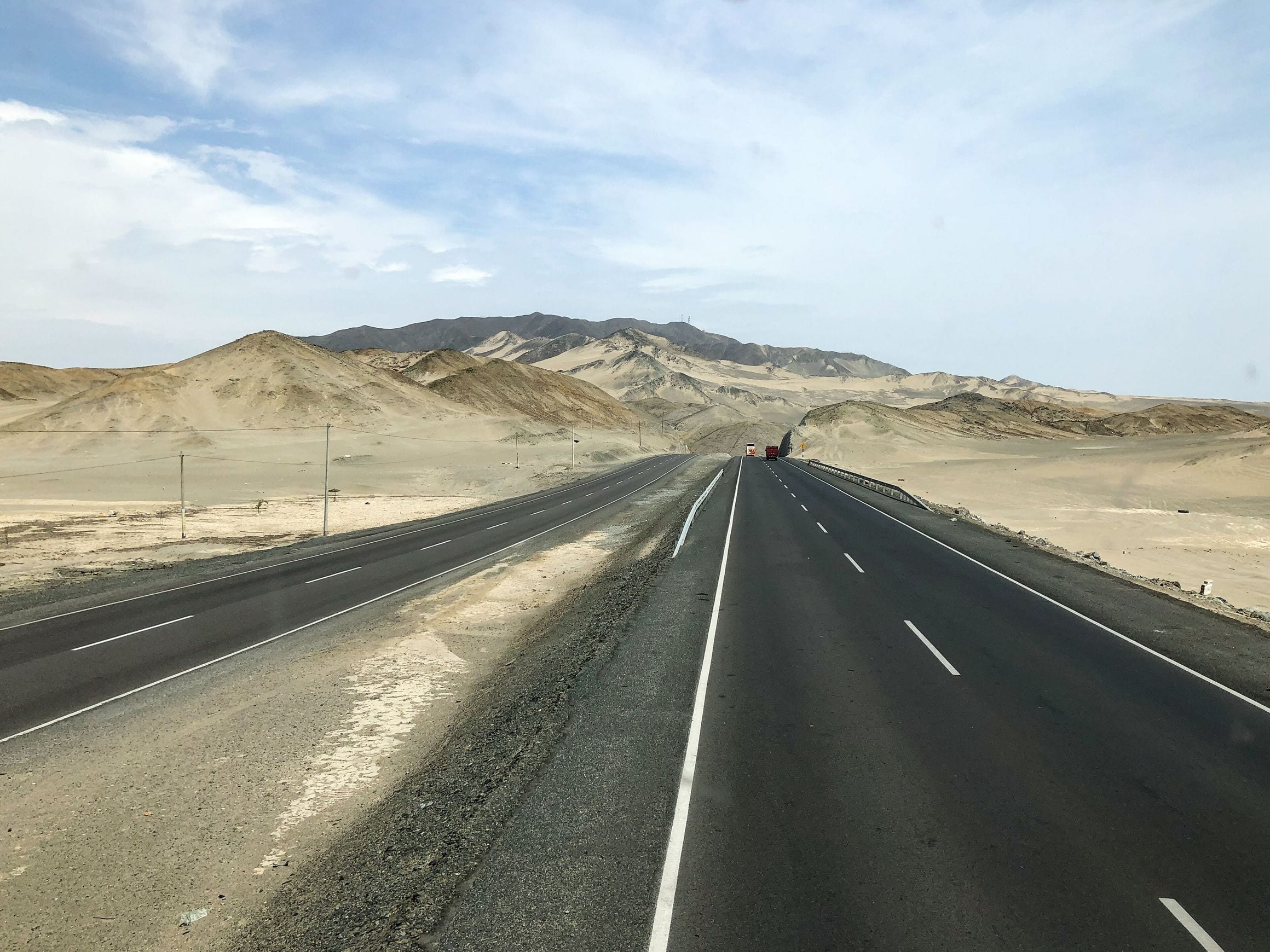
At over 24,140 km15,000 miles, the Pan-American Highway is the longest road in the world, and Guinness World Records lists it as the longest motorable road. Its measure follows one trunk route, from Fairbanks in Alaska south through Mexico and Central America to Santiago in Chile, then east across the continent to Buenos Aires and on to Brasília.
Count every branch from Prudhoe Bay on Alaska's Arctic coast to Ushuaia at the southern tip of Argentina and the network runs to about 30,000 km, a figure for the whole system rather than for one road.
No road crosses the Darién Gap, roughly 106 km of rainforest and marsh between Yaviza in Panama and Turbo in Colombia, so the highway cannot be driven end to end; no car ferries have run there for decades, and drivers usually send their vehicles around it by cargo ship.
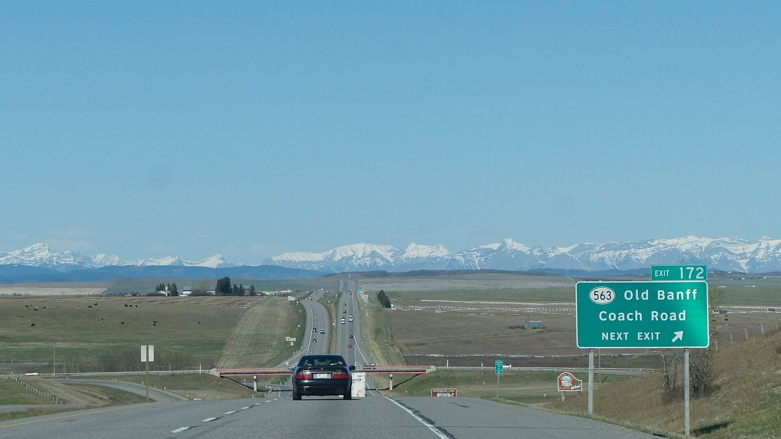
The idea of a road rather than a railway linking the Americas came out of the Fifth International Conference of American States in 1923. Officially the highway begins at the Mexico–United States border at Nuevo Laredo, and apart from Alaska no road in the United States or Canada is designated as part of it.
22. Asian Highway 1 (AH1)
Tokyo, Japan to Kapıkule (Bulgarian border), Turkey
At 20,557 km12,774 miles, Asian Highway 1 is the longest route of the Asian Highway Network, running from Tokyo through both Koreas, China, Vietnam, Cambodia, Thailand, Myanmar, India, Bangladesh, Pakistan, Afghanistan and Iran to Turkey's border with Bulgaria, west of Istanbul. There it meets European route E80, which carries on to Lisbon, so two numbered routes join the capitals of Japan and Portugal.
The 1,200 km Japanese section, on tolled expressways out of Tokyo, joined the network in November 2003, and the sea between Japan and Korea breaks the road there; a Japan–Korea undersea tunnel from Fukuoka has been proposed but never built.
The UN's 2002 handbook of the network still showed a 21 km missing link along the route and 405 km of road in unknown condition. The network itself began as a United Nations project in 1959, and 32 countries have signed its agreements.
33. Highway 1 (Australia)
Sydney, Australia to Burnie (Tasmania section), Australia
At 14,523 km9,024 miles, Australia's Highway 1 is the longest national highway in the world, a ring of roads around the mainland that joins every mainland state capital except the national capital, Canberra. Guinness World Records, whose figure this is, puts it more than 3,500 km ahead of its nearest rival in that class, the Trans-Siberian Highway.
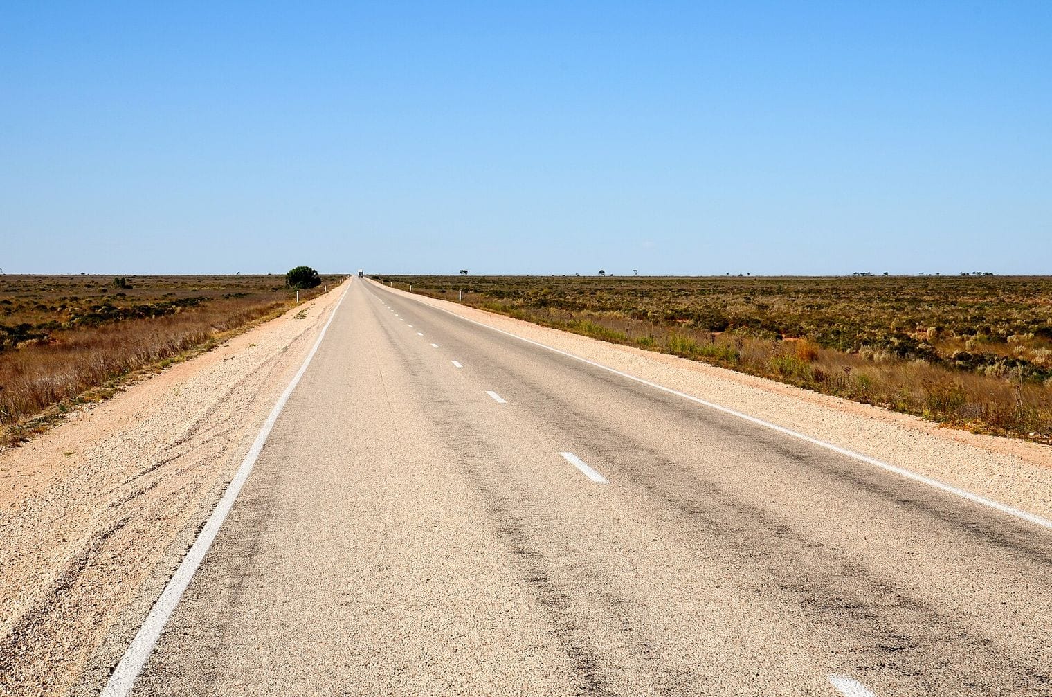
The route was created when Australia adopted national route numbering in 1955, and it is signed differently from state to state, as M1, A1, B1 or National Route 1; there is also a separate Highway 1 in Tasmania, between Hobart and Burnie. Over a million people use some part of it every day, though the long stretches across the Nullarbor Plain and the tropical north are far quieter.
At 13,177 km8,188 miles, Asian Highway 2 starts on the island of Bali, at Denpasar, and ends at Khosravi on Iran's western border, passing through ten countries on the way: Indonesia, Singapore, Malaysia, Thailand, Myanmar, India, Bangladesh, Nepal, Pakistan and Iran.
Its first leg crosses Bali and then Java, from Banyuwangi through Surabaya and Semarang to Merak, and the Bali Strait, the Java Sea and the Karimata Strait break the road before it resumes in Singapore. From there it runs up the Malay Peninsula and across northern South Asia, with a stretch through Nepal, before the long run through Pakistan into Iran.
At 10,808 km6,716 miles, the Tripoli–Cape Town Highway, Trans-African Highway 3, is the longest of the nine Trans-African Highways, running from the Libyan coast through Chad, Cameroon, the Central African Republic, both Congos, Angola and Namibia to Cape Town.
It is also the least finished: it has the longest missing links of the nine routes and needs the most new construction, from desert tracks between southern Libya and N'Djamena to a gap of about 200 km between Salo in the Central African Republic and Ouésso in the Republic of the Congo, where there has never been a road of any kind.
The route was first planned while South Africa was under apartheid and left out of it, so it was drawn to end in Windhoek, and some documents still call it the Tripoli–Windhoek Highway.
66. Asian Highway 6 (AH6)
Busan, South Korea to Krasnoe (Belarusian border), Russia
At 10,475 km6,509 miles, Asian Highway 6 runs from Busan in South Korea to Russia's border with Belarus, crossing North Korea, China, Russia and Kazakhstan on the way. For much of its Russian stretch it follows the road known informally as the Trans-Siberian Highway, which is why that name does not appear on this list in its own right.
From Busan it heads up South Korea's east coast through Pohang and Gangneung before the border, and the UN's 2002 handbook of the network recorded 855 km of its North Korean section as being in unknown condition. West of the Ural Mountains it shares its course with European route E30, so the last leg runs on roads that also belong to the European network.
77. Asian Highway 5 (AH5)
Shanghai, China to Kapıkule (Bulgarian border), Turkey
At 10,380 km6,450 miles, Asian Highway 5 runs from Shanghai across China, Kazakhstan, Kyrgyzstan, Uzbekistan, Turkmenistan, Azerbaijan and Georgia to Turkey's border with Bulgaria, west of Istanbul, where it meets AH1 and European route E80.
Its 4,815 km Chinese section heads inland through Nanjing, Xi'an and Lanzhou, then along the Hexi Corridor to Ürümqi and the Kazakh border at Khorgos, close to the old Silk Road caravan routes. Between Central Asia and the Caucasus the road becomes a sea crossing: the Caspian Sea ferry from Turkmenbashi in Turkmenistan to Baku in Azerbaijan.
Get new guides like this by email
One email every Thursday with our newest guides for the places you tick.
At 10,228 km6,355 miles, the Cairo–Cape Town Highway, Trans-African Highway 4, runs the length of eastern Africa from Egypt through Sudan, Ethiopia, Kenya, Tanzania, Zambia, Zimbabwe and Botswana to South Africa. It is the eastern of the two north–south Trans-African routes, with the Tripoli–Cape Town Highway to the west.
The idea is older than the network: under the British Empire a Cape to Cairo road was planned through a chain of British territories, and like the Cape to Cairo Railway it was never completed under colonial rule. Lusaka's main street, Cairo Road, takes its name from that plan. Most of the route is paved; the Dodoma–Babati road closed the gap in central Tanzania in 2018, and the crossing between Egypt and Sudan on Lake Nasser is made by ferry.
99. China National Highway 219
Kanas, Xinjiang, China to Dongxing, Guangxi, China
G219 线全长 10065 公里 (Ministry of Transport vice-minister, Xinhua 2026-07-31)
At 10,065 km6,254 miles, China National Highway 219 is the longest national highway in China, tracing the country's whole western and southern border from Kanas in the north of Xinjiang to Dongxing in Guangxi, on the Vietnamese border. The figure is the one given by the governments of Xinjiang and Tibet; China's Ministry of Transport rounds the planned route to nearly 10,000 km.
It crosses four provincial regions, Xinjiang, Tibet, Yunnan and Guangxi, and Tibet's government calls it a world-class scenic road. Its oldest part is the 2,342 km road from Yecheng in Xinjiang to Lhatse in Tibet, completed in September 1957, which passes for about 180 km through Aksai Chin, a territory India disputes with China; the route took its full length when the national highway plan for 2013–2030 extended it along the borders.
1010. China National Highway 331
Dandong, Liaoning, China to Altay, Xinjiang, China
G331国道,从新疆的阿勒泰至辽宁的丹东,规划建设全长约9200公里 (Ministry of Transport vice-minister Xu Chengguang, 2026-07-21, via Xinhua)
At about 9,200 km5,700 miles, China National Highway 331 follows China's northern border from Dandong in Liaoning, on the North Korean border, to Altay in Xinjiang, crossing six provincial regions: Liaoning, Jilin, Heilongjiang, Inner Mongolia, Gansu and Xinjiang.
The figure is the planned full length that a vice-minister of transport gave at a press conference in July 2026, as reported by the state news agency Xinhua and by CGTN; no ministry page states it directly, and an earlier Xinhua report put the road at 9,333 km.
Much of it has only recently been joined up: the link between Gansu and Xinjiang opened in May 2025 and the Qinghe–Fuyun–Altay section in June 2025, and China plans to finish upgrading it in its 2026–2030 five-year plan. With G219 and G228 it forms what CGTN calls a golden mega-ring of more than 27,000 km around the country's borders and coast, the three roads meeting in Xinjiang, Liaoning and Guangxi.
1111. Cairo–Dakar Highway
Cairo, Egypt to Dakar, Senegal
TAH 1 Cairo – Dakar 8,636 km (AU Annex I Tables AI-1 and AI-2; Wikipedia)
At 8,636 km5,366 miles, the Cairo–Dakar Highway, Trans-African Highway 1, follows Africa's Mediterranean coast west from Cairo through Libya, Tunisia, Algeria and Morocco, then turns south down the Atlantic coast of north-west Africa through Mauritania to Dakar in Senegal.
Much of the road between Tripoli and Nouakchott was built under a project of the Arab Maghreb Union, and the last long unpaved stretch, between Nouadhibou and Nouakchott in Mauritania, was paved in 2005. Even so, the Cairo–Dakar Highway cannot be driven end to end, because the land border between Morocco and Algeria has been closed since 1994.
1212. Asian Highway 9 (AH9)
Saint Petersburg, Russia to Lianyungang, China
The total length of the AH route 9 is 8,445 km5,247 mi
At 8,445 km5,247 miles, Asian Highway 9 links St Petersburg on the Baltic with the port of Lianyungang in China's Jiangsu province, by way of Russia, Kazakhstan and the border crossing at Khorgos. The length is the one given in a study of the route published by the UN's Asia-Pacific commission, ESCAP.
Its endpoints and its length match those of the Western Europe–Western China corridor, which China and Kazakhstan proposed in 2006 as a project to upgrade the roads between them. In China the route runs on the Lianyungang–Khorgos expressway, which opened along its whole Chinese length in November 2017, when the last 10 km stretch at Khorgos came into use.
1313. Trans-Canada Highway
Victoria, Canada to St. John's, Canada
The Trans-Canada highway encompassed 7,821 km4,860 mi
At 7,821 km4,860 miles, the main route of the Trans-Canada Highway crosses all ten provinces, from Victoria on Vancouver Island to St. John's in Newfoundland; that is the figure Canada's council of transport ministers uses. Some road references give the main route as 7,476 km, which would drop it below the highest figure quoted for China's G228, the next entry, so the order of these two depends on which measurements you take.
Both ends sit on islands, so a drive along the whole of it includes a ferry crossing at each end. Construction began in 1950 under the Trans-Canada Highway Act, Prime Minister John Diefenbaker opened the highway in 1962, and the route was finished in 1971. With its branch routes, such as the Yellowhead Highway to the north, the whole designated system runs to about 12,800 km.
1414. China National Highway 228
Dandong, Liaoning, China to Dongxing, Guangxi, China
G228国道…全长7378公里 (Ministry of Culture and Tourism / China Culture Daily 2024-12-31)
At 7,378 km4,584 miles, China National Highway 228 is the country's longest coastal road, running from Dandong on the North Korean border to Dongxing on the Vietnamese border through ten provinces and nearly 20 degrees of latitude.
The figure comes from China's Ministry of Culture and Tourism and the People's Daily; the Ministry of Transport gives about 7,400 km, and the planned length has been quoted as high as 7,800 km, which would put it ahead of the lower figure for the Trans-Canada Highway.
It shares its northern end, Dandong, with G331 and its southern end, Dongxing, with G219, so the three roads close the ring around China. The route keeps close to the coastline of mainland China for its whole length, and parts of it are still being linked and brought up to at least second-class standard under the 2026–2030 five-year plan.
1515. Asian Highway 3 (AH3)
Ulan-Ude, Russia to Tanggu, China; and Shanghai, China to Chiang Rai, Thailand
At 7,331 km4,555 miles, Asian Highway 3 is two roads under one number: a northern section from Ulan-Ude in Russia, near Lake Baikal, through Mongolia to Tanggu on the coast at Tianjin, and a southern section from Shanghai to Chiang Rai in Thailand and Kengtung in Myanmar.
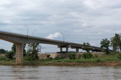
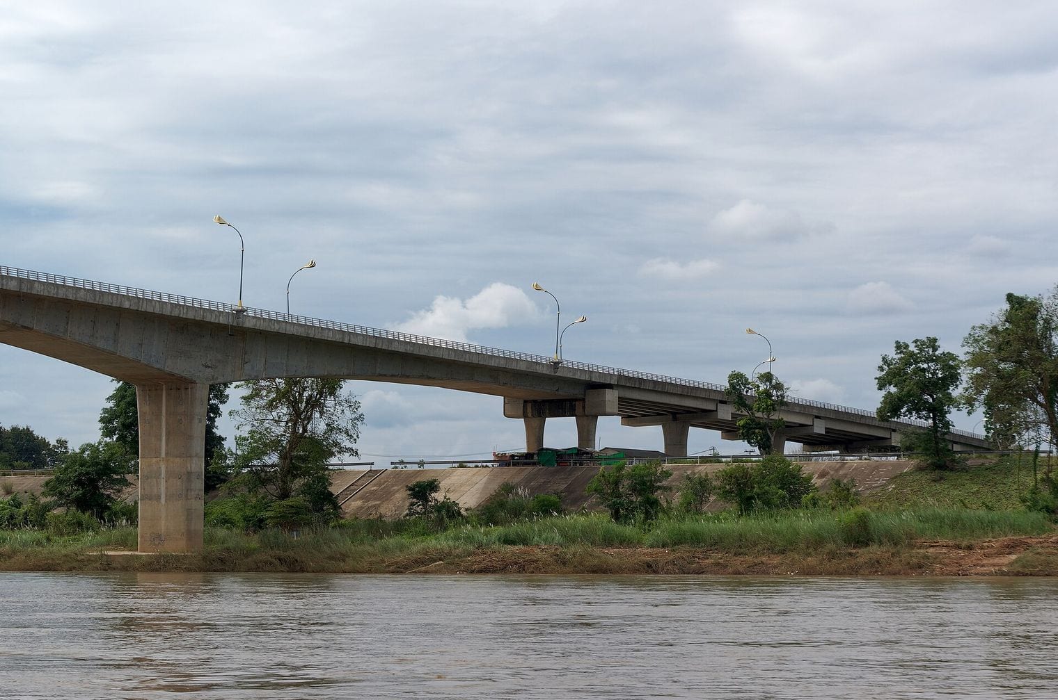
The northern section crosses into Mongolia beyond Kyakhta and runs through Darkhan, Ulaanbaatar and Sainshand to Zamyn-Üüd and Erenhot on the Chinese border, across the Gobi. In the south the road crosses north-west Laos to the Mekong, where the Fourth Thai–Lao Friendship Bridge near Chiang Khong opened in December 2013; before it, goods crossed the river by ferry.
FAQ: The World's Longest Roads
What is the longest road in the world?
The Pan-American Highway, which Guinness World Records measures at over 24,140 km along its trunk from Fairbanks in Alaska to Santiago, Buenos Aires and Brasília. Counting every branch from Prudhoe Bay to Ushuaia, the network runs to about 30,000 km. The longest numbered route is Asian Highway 1, at 20,557 km from Tokyo to Turkey's border with Bulgaria.
Can you drive the Pan-American Highway from end to end?
No. The road stops at Yaviza in Panama and starts again at Turbo in Colombia, roughly 106 km away across the rainforest and marsh of the Darién Gap, where no road has ever been built. No car ferries have run there for decades, so drivers heading between the continents usually ship their vehicles around the gap by sea.
What is the longest highway within a single country?
Australia's Highway 1, at 14,523 km, a ring through Sydney, Melbourne, Adelaide, Perth, Darwin and Brisbane that joins every mainland state capital except Canberra. China National Highway 219 comes next at 10,065 km along China's western and southern borders, ahead of the Trans-Canada Highway, whose main route runs 7,821 km from Victoria to St. John's.
Why isn't the Trans-Siberian Highway on the list?
Because it is an informal name rather than a designated route: the more than 11,000 km from St Petersburg to Vladivostok is a chain of separately numbered Russian federal roads, and no road body gives a length for it as one road. Much of its course is signed as Asian Highway 6, which is ranked sixth at 10,475 km.
Why are the Golden Quadrilateral and the Western Europe–Western China corridor left out?
Neither is a single designated road. India's Golden Quadrilateral, 5,846 km round Delhi, Mumbai, Chennai and Kolkata, was a project to upgrade the national highways linking those four cities to four and six lanes. The Western Europe–Western China corridor from St Petersburg to Lianyungang is an investment programme over existing numbered roads, and the numbered route on that course, Asian Highway 9, is ranked twelfth.
Why are there no European E-roads on the list?
European routes such as the E40, from Calais to Ridder in Kazakhstan, and the E60, from Brest to Irkeshtam on the Kyrgyz–Chinese border, are among the longest numbered roads on the map, but the UN agreement that numbers them lists the towns on each route without an official length, so they cannot be measured the way this list measures roads. More record-breaking countdowns are on our world record breakers page.
Sources & updates
How this ranking was checked
Checked before launch
Sources cited
15
Publishers
4
Every figure in this ranking was checked against the record-keeper or official source behind it before publication, and the top of the ranking re-checked live so a newer record would not be missed.
One email every Thursday with our newest guides for the places you tick.
Newsletter
Stay updated with new World Record Breakers
One email every Thursday with our newest guides for the places you tick.
We use cookies to analyse site traffic and improve your experience.
You can accept or reject analytics cookies. See our
May we use analytics cookies? See ourCookie Policy.