We may earn a commission if you book tickets, tours or a stay through a link on
this page, at no extra cost to you. It never affects which places we list or how
we rank them (how we make money).
The record
6,259.6 km3,889 mi
Great Wall of China (Ming Wall)
China
The record
The longest wall in the world is the Great Wall of China (Ming Wall), in China — 6,259.6 km (3,889 mi), length.
Source: SACH + SBSM 2009 photogrammetric survey. Verified .
Ask how long the Great Wall of China is and you will be told 21,196 km, a figure that bundles every branch, spur and dynasty across two thousand years into a single headline. Measure one wall the way you would measure any other and the picture changes completely.
This countdown ranks each entry by the length of constructed wall or rampart in one named system, which is why the Ming wall enters at 6,259.6 km rather than 21,196, and why Nigeria's Benin earthworks — thousands of kilometres of boundaries, but hundreds of disconnected pieces — do not appear at all.
The twelve below run from 6,259.6 km down to 63 km across ten countries, and the list is open to any wall still standing or archaeologically traced, including Mongolia's Gobi Wall, only properly surveyed in 2025. It is closed to modern border barriers: the Moroccan berm's 2,700 km of mined sand is a military line, not a monument.
The famous 21,196 km figure for the Great Wall of China is an all-dynasty total from China's 2012 survey — every branch, spur and separate dynastic wall added together. The Ming wall alone accounts for 6,259.6 km of actual constructed wall.
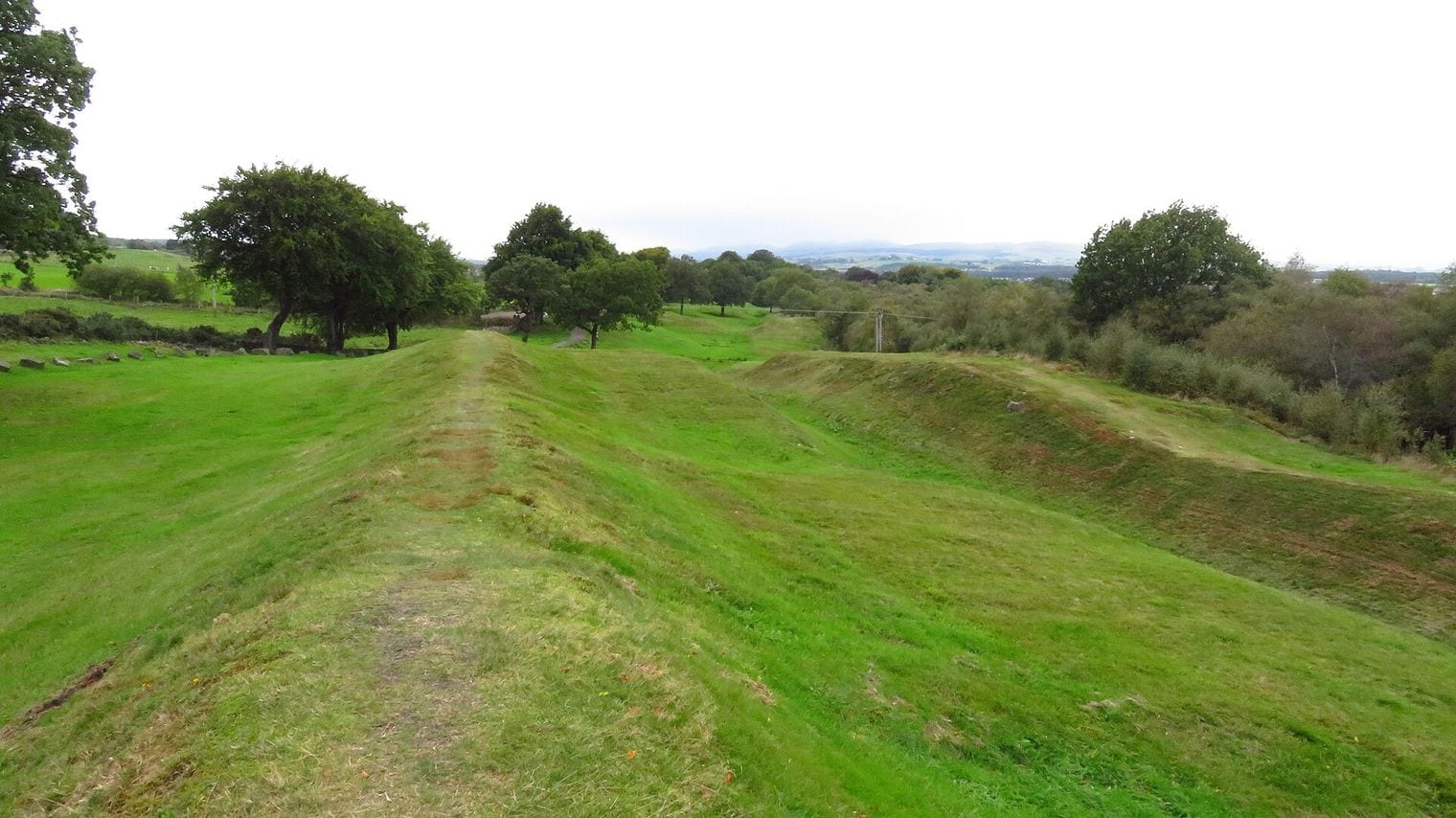
Rome built two walls across Britain, and abandoned the northern one. The Antonine Wall was pushed 160 km beyond Hadrian's Wall in AD 142, held for about a generation, and was then given up when the army fell back south.
Roman surveyors ran the German frontier 80 km dead straight. On the Upper Germanic-Rhaetian Limes, a modern survey of a 30 km stretch of that run found it deviating from true by no more than a single metre.
At Sungbo's Eredo, the drop from the ditch floor to the top of the bank reaches 20 m — deeper than most European castle moats — and the ring encloses an area larger than Greater London. By sheer size it outranks any of the Egyptian pyramids.
Vietnam lost a 127 km wall and found it again in the 2000s. The Long Wall of Quang Ngai surfaced in an 1885 court geography in 2005; it then took a joint Vietnamese-French team five years to trace it on the ground.
Moldova's Athanaric's Wall is known locally as Trajan's Wall, after an emperor who had nothing to do with it — the ramparts carrying his name across Moldova, Romania and Ukraine were all raised well after his reign.
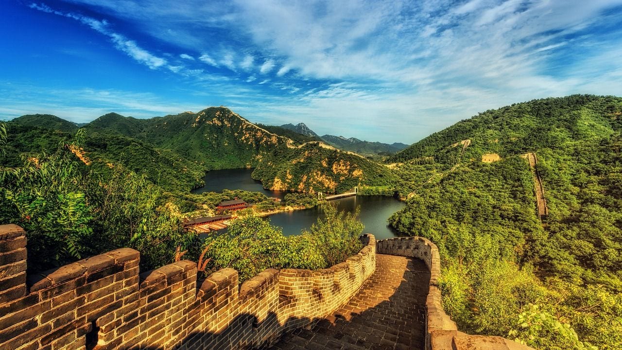
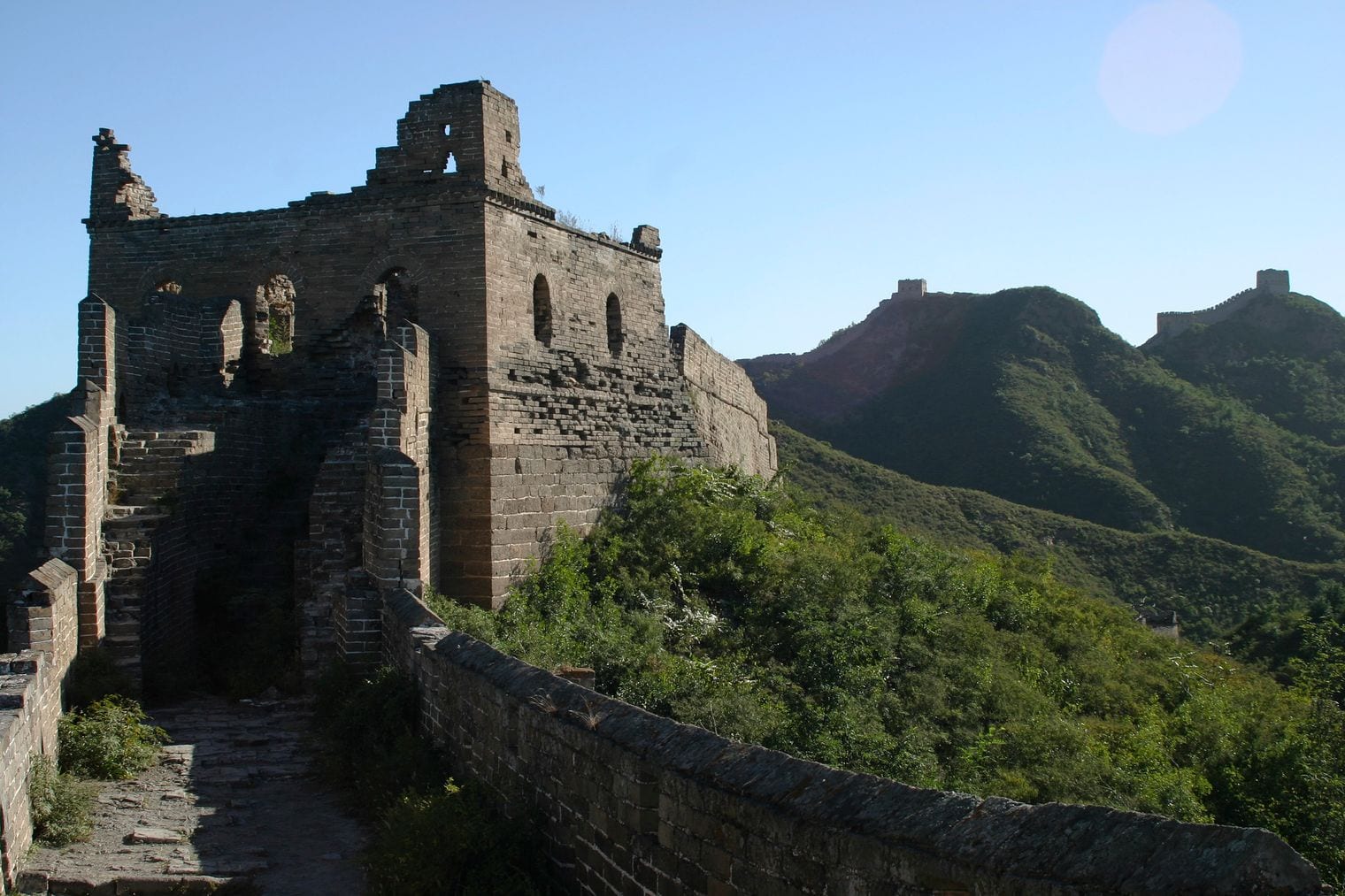
At 6,259.6 km of constructed wall, the Ming Great Wall is the longest wall ever built, and the figure takes some unpacking. The 2009 photogrammetric survey by China's State Administration of Cultural Heritage and State Bureau of Surveying and Mapping measured the Ming line at 8,851.8 km end to end — but only 6,259.6 km of that is masonry and rammed earth.
The remainder is 359.7 km of trench and 2,232.5 km of cliff, ridge and river that the Ming enrolled as defence because they did not need to build where the ground already did the work. Guinness World Records, measuring differently again, quotes a 3,460 km main line plus 3,530 km of branches and spurs.
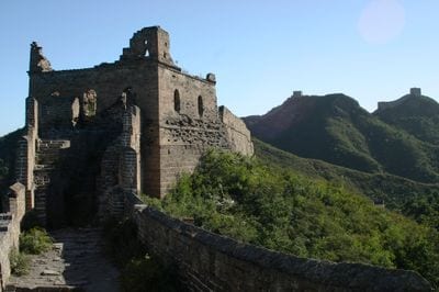
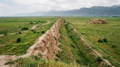
What survives is overwhelmingly Ming, thrown up between 1368 and 1644 against the Mongols, and it is the brick-faced, battlemented wall everyone pictures. The restored sections north of Beijing — Badaling, Mutianyu, Jinshanling — give you the parapets and signal towers marching along the ridgelines; walk east or west off the ticketed stretches and the same wall runs on unrestored, crumbling and empty.
Earlier dynasties built their own walls on quite different lines, hundreds of kilometres away, which is exactly why adding them all together produces a number no single wall ever measured.
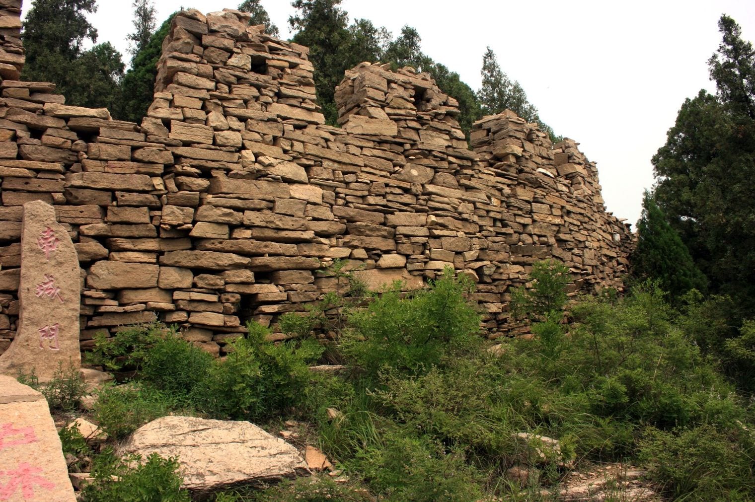
At 600 km, a wall of rammed earth and stone runs clean across Shandong province, from Guangli village near Jinan over the central mountain ridges to the Yellow Sea near Qingdao.
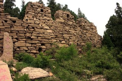
The Great Wall of Qi is the oldest surviving great wall in China, documented in the historical record to 441 BC during the Warring States period, with archaeological work in 2024 pushing its earliest sections back further still, into the Western Zhou. It predates the Ming wall by roughly nineteen centuries.
The state of Qi built it against its rivals to the south and west, following the natural defensive line of the mountains rather than cutting across country. Large stretches are still legible on the ground at Dafeng Mountain, around Laiwu and near Boshan, where the wall reads as a broad grassy spine along the ridge with stone facing exposed in places.
It carries protection as a Major National Historical and Cultural Site in Shandong, and because it sits far from the Beijing tourist circuit you will often have a section entirely to yourself.
33. Upper Germanic-Rhaetian Limes
Rheinbrohl on the Rhine to Eining on the Danube, Germany
At 550 km, the Upper Germanic-Rhaetian Limes was Rome's longest land frontier anywhere in Europe — nearly five times the length of Hadrian's Wall — running from Rheinbrohl on the Rhine to Eining on the Danube.
What makes it remarkable is that it ignored the landscape almost entirely: rather than following a river or a mountain range, it struck out across open country in long surveyed straights. One 80 km run between Walldürn and Welzheim holds its line so precisely that a modern survey of a 30 km stretch found it deviating by no more than a metre.
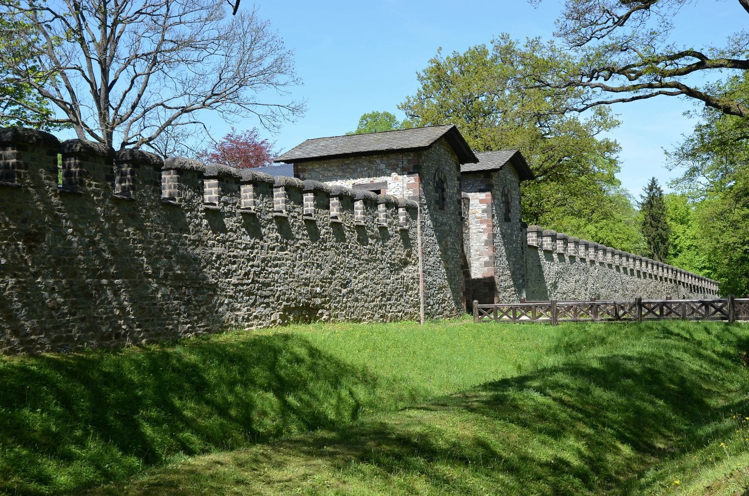
It was never a single uniform structure. Along most of its length it was a timber palisade backed by a bank and ditch, but the Raetian stretch was rebuilt as a genuine stone wall, and the monument as a whole takes in around 120 forts and almost 900 watchtowers.
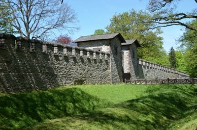
UNESCO inscribed it in 2005 as part of the Frontiers of the Roman Empire. The best introduction is the Saalburg fort near Bad Homburg, reconstructed from the foundations up around 1900 and still the most complete Roman fort you can walk through anywhere.
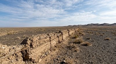
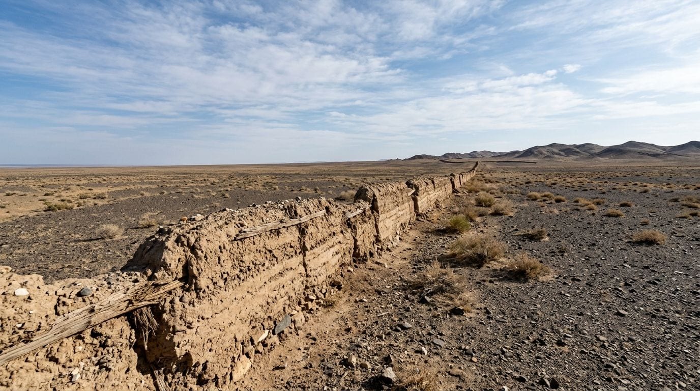
For 321 km, a wall of rammed earth, stone and timber crosses the highland desert of southern Mongolia, and until very recently almost nothing was known about them.
The Gobi Wall is the least understood stretch of the medieval wall network that runs from northern China up into Mongolia, and it was only surveyed in detail in 2025, by a team from the Hebrew University of Jerusalem, the National University of Mongolia and Yale, using remote sensing, ground survey and targeted excavation.
What they found reframed it. The wall and its garrison complexes were built mainly under the Xi Xia dynasty, between 1038 and 1227, and the evidence points to a structure designed to channel and control movement — regulating trade, funnelling travellers to gates, projecting imperial authority — rather than simply to keep armies out.
55. Great Wall of Gorgan
Caspian Sea to the Pishkamar mountains, Golestan, Iran
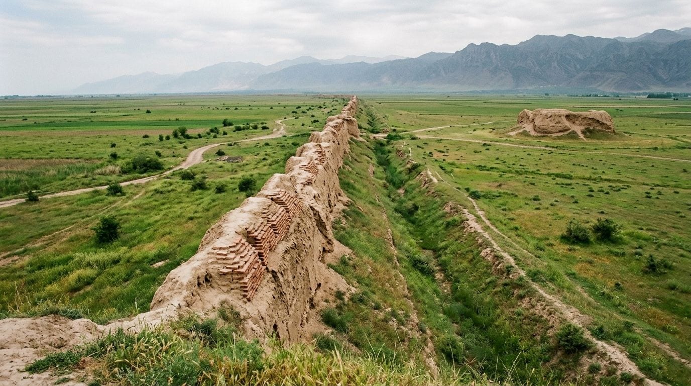
For 195 km, a wall of fired red brick runs east from the Caspian Sea into the Pishkamar mountains of Golestan province, which is why Iranians call it the Red Snake.
The Great Wall of Gorgan is the longest defensive wall ever built between central Europe and China, and it is longer than Hadrian's Wall and the Antonine Wall put together. More than thirty forts are strung along it, and the kilns that fired its bricks have been found beside the line itself, which gives some sense of the industrial effort involved.
It was a Sasanian project, raised in roughly the fifth and sixth centuries AD to hold the empire's vulnerable northern flank against nomadic incursion from the steppe.
Time has been hard on it: much of the wall now lies buried beneath farmland and is visible mainly as a low ridge and a canal-like depression, with the fort mounds standing out more clearly than the wall itself. Aerial and satellite survey has done most of the work of tracing its full course.
More than 160 km of ditch and rampart form an uneven ring around the territory of the old Ijebu kingdom in Ogun State, and the scale of the earthmoving is hard to overstate: from the floor of the ditch to the crest of the inner bank is a drop of up to 20 m, deeper than most castle moats in Europe.
Sungbo's Eredo is reputed to be the largest single pre-colonial monument in Africa; its builders shifted an estimated 3.5 million cubic metres of earth, and the ring encloses an area larger than Greater London.
Dating remains contested — one line of research places it in the tenth and eleventh centuries, more recent excavation towards the end of the fourteenth — and tradition ties it to Bilikisu Sungbo, a wealthy woman remembered in local oral history.
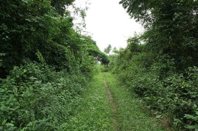
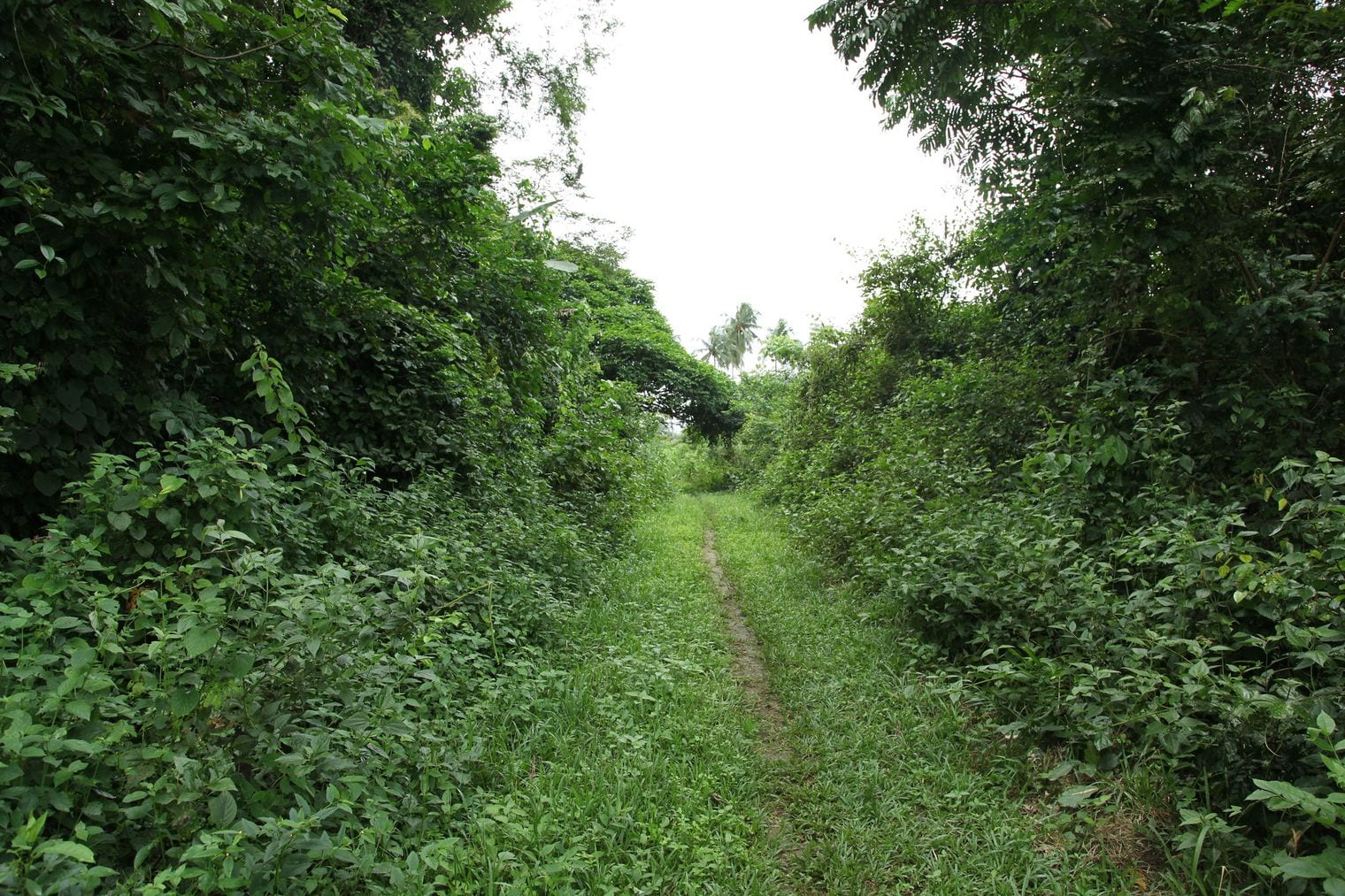
Much of it runs through dense rainforest, which has both hidden it and helped preserve it; the ditch is often the clearest feature, a green corridor cut into the forest floor. It sits on Nigeria's tentative UNESCO list, and a LiDAR documentation project mapped it in 2024.
77. Erkesiya
Burgas Lake to the Sazliyka river, southeast Bulgaria
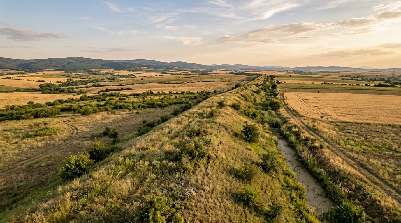
The Erkesiya runs 142 km across southeastern Bulgaria, from the shore of Burgas Lake west to the left bank of the Sazliyka river, and it is a substantial piece of engineering rather than a boundary marker: the works measure up to 22 m across in total, a ditch some 7 m wide backed by an earth bank of around 15 m.
The Bulgars of the First Bulgarian Empire built it to hold the line against Byzantium, probably beginning in the eighth century.
It was not purely military. The Erkesiya functioned as a managed customs frontier as well, the point at which trade between Bulgaria and the Byzantine world was taxed and controlled, and it stayed relevant in that role for centuries.
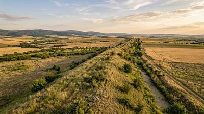
It was well enough known to medieval chroniclers that the Byzantine emperor Nikephoros II Phokas is recorded reaching a great ditch during his campaign of 967 and declining to cross it — most probably this one. Today it survives as a long green bank running through farmland and scrub.
88. Offa's Dyke
Welsh Marches, England-Wales border, United Kingdom
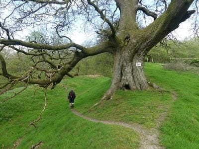
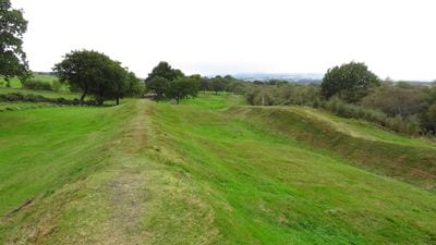
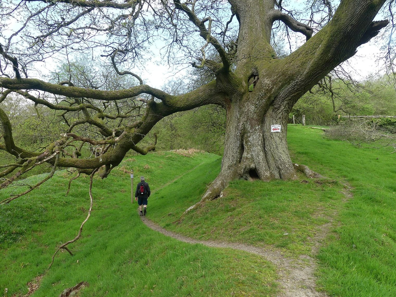
Offa's Dyke is 132 km of bank and ditch strung along the border country between England and Wales, with the ditch cut on the Welsh side and the spoil heaped into a rampart facing it — an arrangement that leaves little doubt about which direction it was watching.
It is traditionally credited to Offa, king of Mercia in the second half of the eighth century, though recent dating work suggests parts of it may be considerably older, begun in the sub-Roman period and extended by more than one Mercian ruler.
One useful thing to know before you go: the Offa's Dyke Path, a National Trail running 285 km from the Severn estuary to the north Wales coast, is roughly twice the length of the dyke itself and only follows the earthwork for part of its route. The dyke proper is best seen in the middle sections, where it climbs over the hills of the Welsh Marches as a genuinely imposing bank. Every surviving stretch is protected as a scheduled monument.
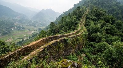
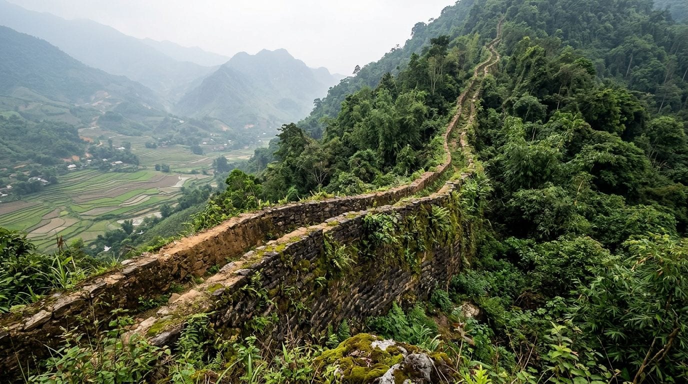
The Long Wall of Quảng Ngãi runs 127.4 km through the hills of central Vietnam, from Quảng Ngãi province south into Bình Định, and it is the longest monument in Southeast Asia.
It was built in 1819 under Lê Văn Duyệt, a senior mandarin serving the Nguyễn emperor Gia Long, from alternating courses of packed soil and rock, standing up to 4 m high and 2.5 m thick; on the steepest ground it was built of stone throughout to stop the slopes sliding away beneath it.
Its purpose was as much commercial as military. The wall separated the Viet farmers of the lowlands from the Hrê people of the mountain valleys, and controlled where the two could meet and trade. Remarkably, it was effectively lost until 2005, when the historian Andrew Hardy came across a reference to it in an 1885 Nguyễn court geography; a joint Vietnamese-French team then spent five years locating it on the ground. Vietnam designated it a National Heritage site in 2011.
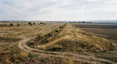
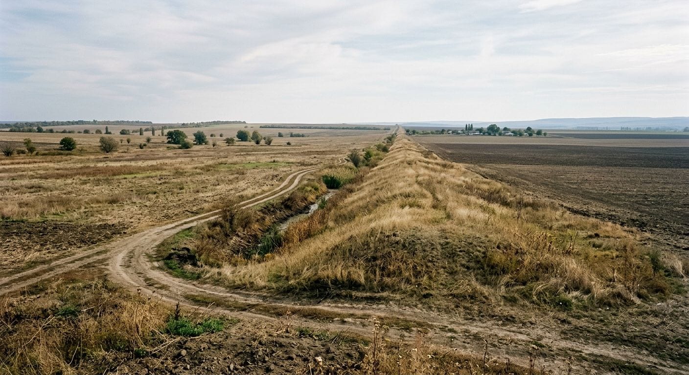
Athanaric's Wall runs 126 km from the village of Vadul lui Isac on the Prut, across the southern tip of Moldova and on into Ukraine, ending near Lake Sasyk. It is far better known locally as the Lower or Southern Trajan's Wall, which is one of the more durable misattributions in European archaeology — Trajan had nothing to do with it, and the ramparts that carry his name across Moldova, Romania and Ukraine were raised well after his reign.
It was built as an earthen wall fronted by a ditch and topped with a palisade, standing perhaps 3 m high when new. Most scholars attribute it to Athanaric, king of the Thervingi Goths in the fourth century, throwing up a defensive line against the Huns, though Roman involvement at various dates is still argued over.
Erosion and two centuries of ploughing have flattened it to around half a metre in most places, and a farm road now runs alongside much of the southern stretch, so you are looking for a low swell in the fields rather than a wall.
1111. Hadrian's Wall
Wallsend to Bowness-on-Solway, northern England, United Kingdom
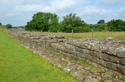
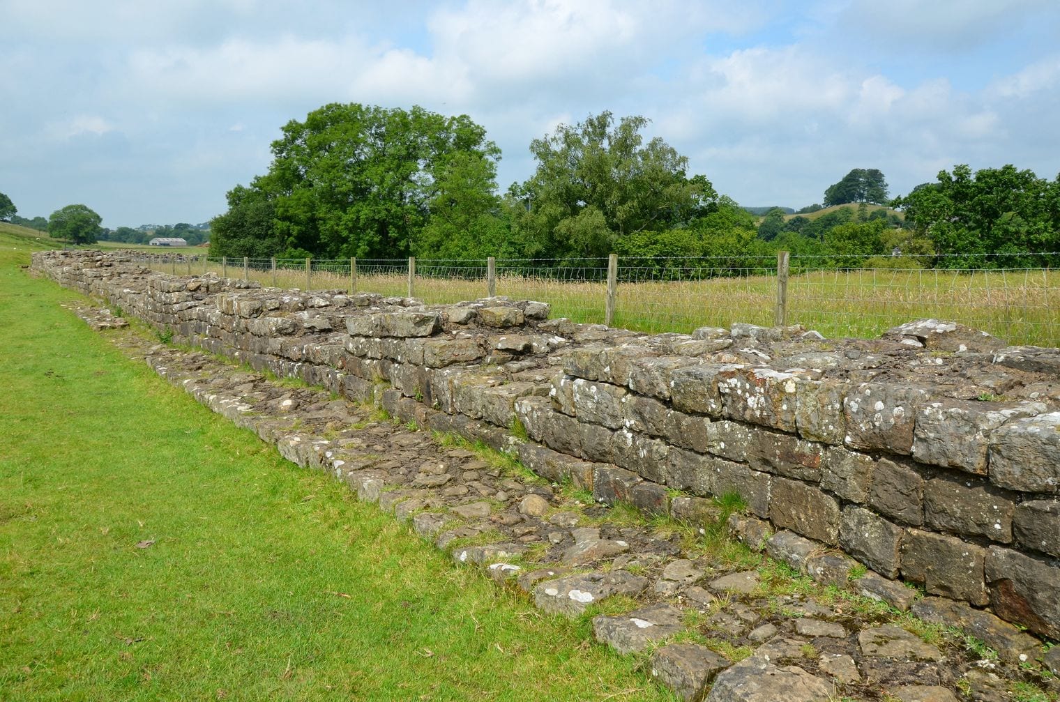
Hadrian's Wall crosses northern England for 117.5 km — 80 Roman miles, which is exactly how the Romans laid it out — from Wallsend on the Tyne to Bowness-on-Solway. Construction began in AD 122 on Hadrian's orders and took about six years.
The eastern two thirds went up in stone from the start; the western end was first built in turf and rebuilt in stone later, in two phases. Behind and in front of it ran a system of ditches, and a garrison road linked the whole line.
The rhythm of it is what stays with you: a milecastle every Roman mile, two turrets between each pair, and larger forts at intervals along the wall. Housesteads, Chesters and Vindolanda are the ones to walk, and Vindolanda's waterlogged ground has produced the writing tablets that turned the garrison into named people with complaints about the weather.
Almost all the standing masonry was robbed out centuries ago for local roads and farms, so what you see is consolidated footings — but on the crags in the central section it is still magnificent. UNESCO inscribed it in 1987.
1212. Antonine Wall
Old Kilpatrick to Bo'ness, central Scotland, United Kingdom
At 63 km, the Antonine Wall is the shortest entry here and the most northerly frontier Rome ever fortified, running across the narrow waist of Scotland from Old Kilpatrick on the Clyde to Bo'ness on the Forth. Begun in AD 142 under Antoninus Pius, it was built as a turf rampart around 3 m high on a stone foundation, with a wide ditch in front and a road behind — a different technique from Hadrian's Wall, and a faster one.
It was also short-lived. The army held the line for roughly a generation before pulling back south to Hadrian's Wall, and turf weathers in a way that dressed stone does not, so the Antonine Wall is far less visible than its southern counterpart.
What it left instead are the distance slabs: carved stone panels recording which legion built which stretch, an unusually rich body of Roman frontier sculpture. Rough Castle, Bar Hill and Watling Lodge show the ditch and rampart at their clearest. It joined the Frontiers of the Roman Empire World Heritage Site in 2008.
FAQ: The World's Longest Walls
What is the longest wall in the world?
The Great Wall of China, and specifically the Ming dynasty wall, which China's 2009 survey measured at 6,259.6 km of actual constructed wall. No other wall on earth comes close: the second entry on this list, the Great Wall of Qi, runs a tenth of that distance at 600 km.
Why is the Great Wall of China sometimes said to be 21,196 km long?
Because that figure is an all-dynasty total. China's 2012 survey added together every wall, branch and spur built across roughly two thousand years, including walls raised by different dynasties on entirely different lines that never connected. It is a real number, but it does not describe any single wall you could walk.
What is the longest wall outside China?
The Upper Germanic-Rhaetian Limes in Germany, at 550 km — Rome's longest land frontier anywhere in Europe, and nearly five times the length of Hadrian's Wall. Mongolia's Gobi Wall follows at 321 km, and Iran's Great Wall of Gorgan at 195 km.
Which of the world's longest walls can you actually visit?
Several are straightforward day trips. The restored Great Wall sections north of Beijing, Hadrian's Wall in northern England, the Antonine Wall in central Scotland, Offa's Dyke on the Welsh border and the Saalburg fort on the German limes are all open and signposted.
Others, like Athanaric's Wall, survive only as low swells in farmland. If it is Roman engineering you are chasing, some of the empire's bridges are still standing too, and the rest of our record countdowns cover the same ground.
Are modern border walls longer than these ancient ones?
Some are, which is why this list is limited to heritage walls. The Moroccan berm across Western Sahara runs about 2,700 km, longer than every entry here except the Great Wall. It is a mined military line built in the 1980s rather than a monument, so it is excluded along with other modern border barriers.
How are these walls measured and ranked?
By the surveyed length of constructed wall or rampart in one named wall system, counting only what was actually built. Trenches, cliffs and rivers enrolled as defence do not count, and neither do separate outlying lines.
That single rule is why the Ming wall enters at 6,259.6 km rather than 8,851.8 km or 21,196 km, and why the Mongolian Arc — 405 km of medieval frontier in eastern Mongolia, longer than the Gobi Wall — is absent: excavation showed it to be a relatively shallow ditch with a bank of upcast earth rather than a built wall.