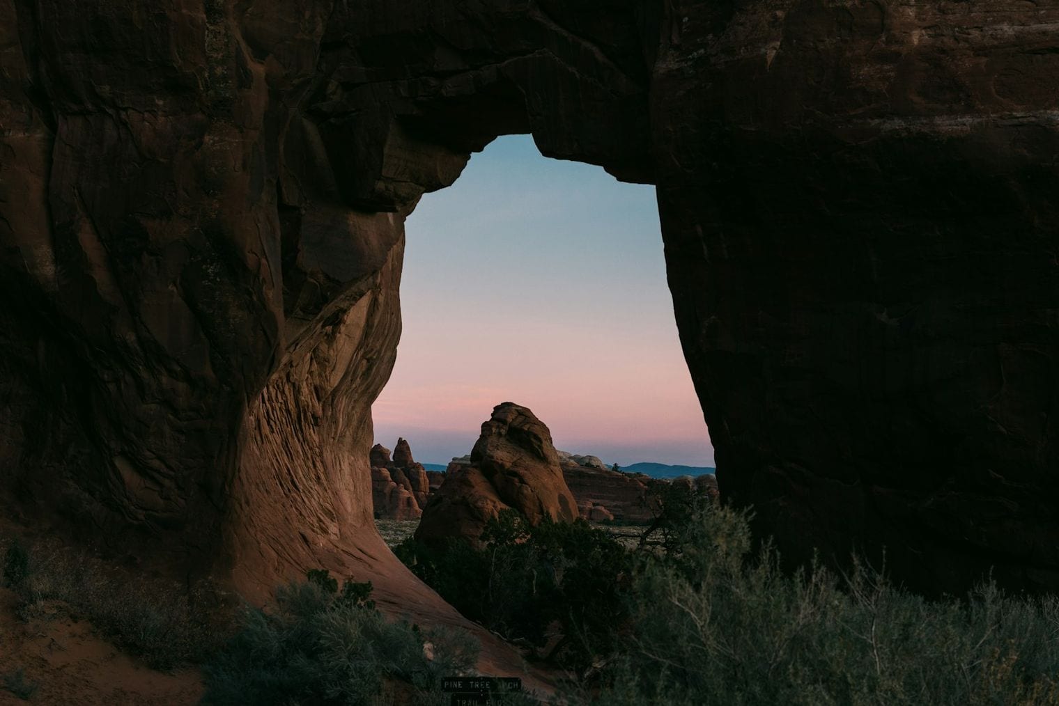
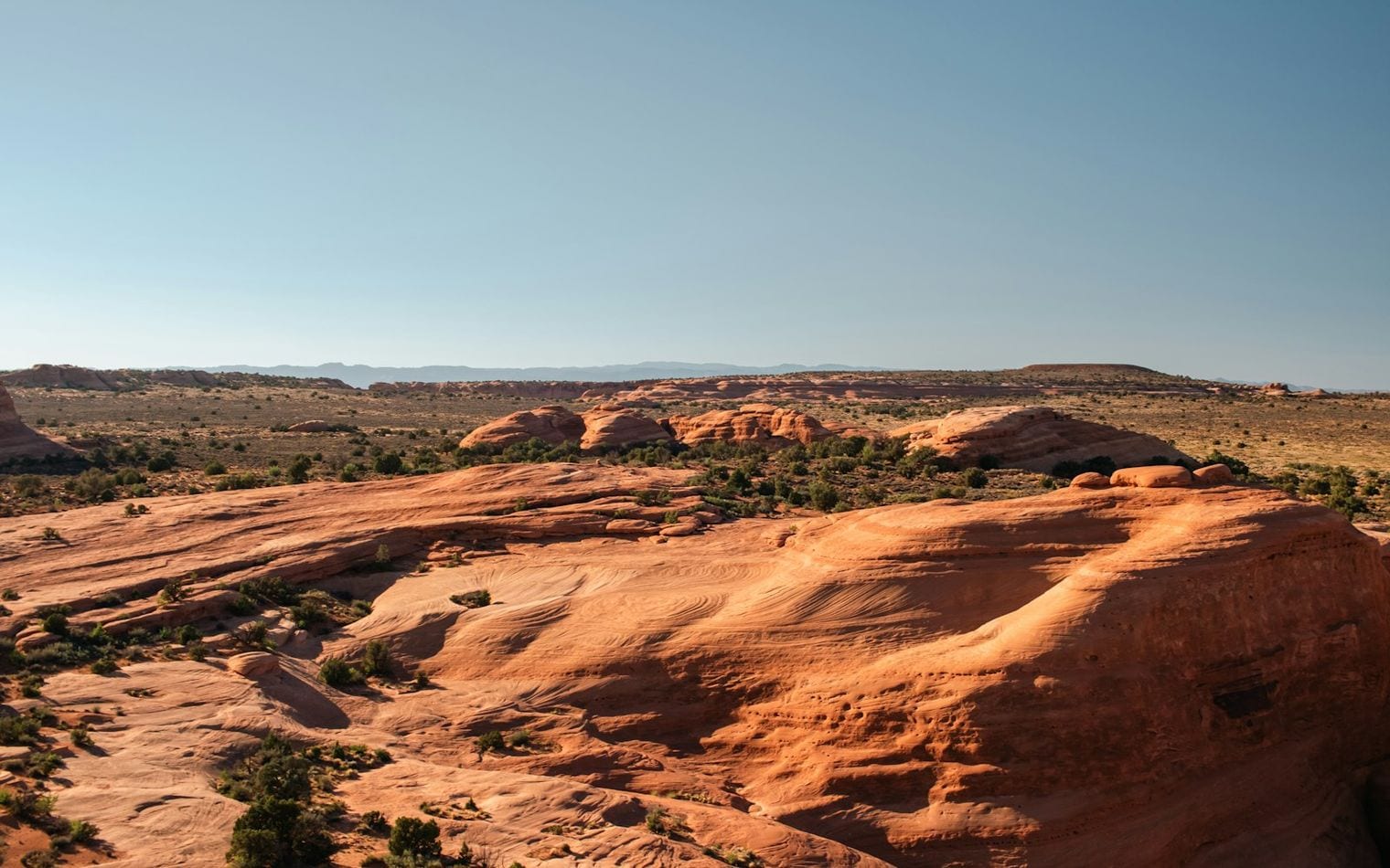
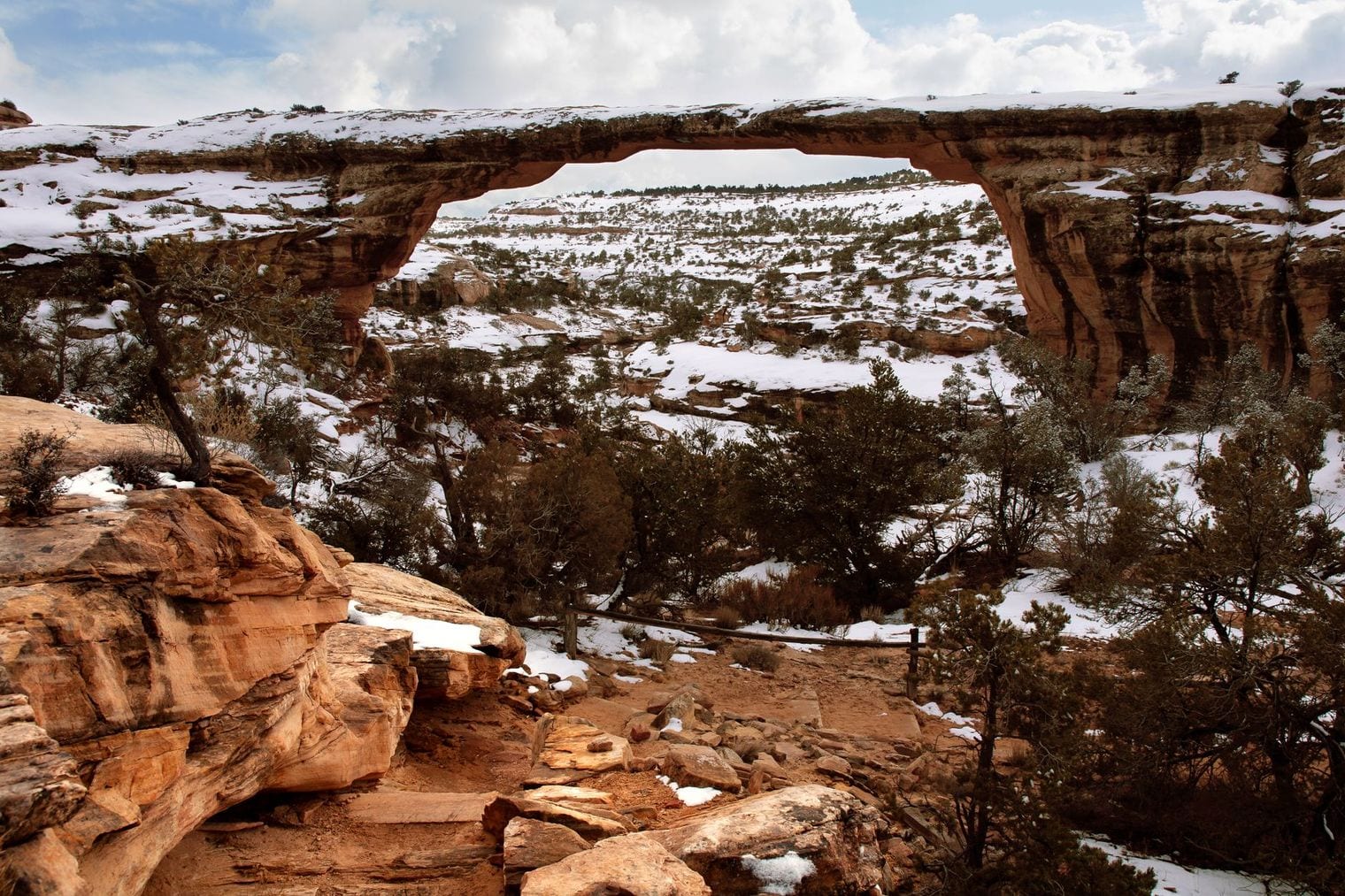
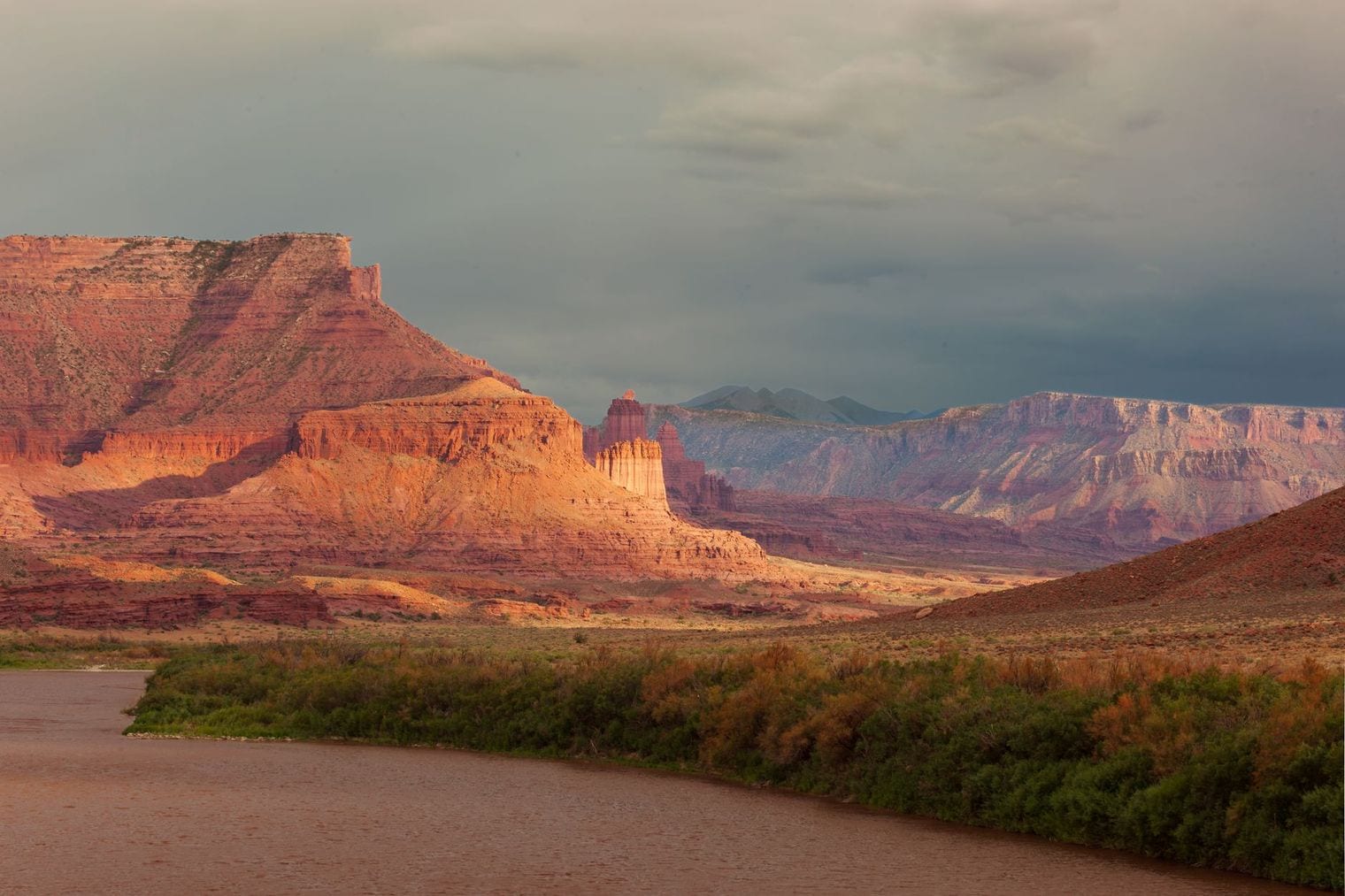
Tucked into the red-rock country of southeastern Utah, Moab is the gateway to two of America's most striking national parks and a magnet for hikers, mountain bikers, and river runners. The desert landscape here is defined by sandstone arches, deep canyons, and the Colorado River cutting through it all.
Whether you come for a single iconic hike or a week of backcountry adventure, Moab packs an enormous range of things to do into a compact, walkable downtown surrounded by wilderness. Here are the best of them.
Fun Facts About Moab, Utah
Moab is a high-desert town at about 4,000 feet elevation on the Colorado River, and the main gateway to two national parks — Arches and Canyonlands.
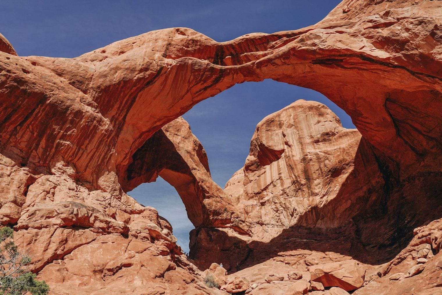
Arches National Park protects more than 2,000 natural sandstone arches, the densest concentration anywhere in the world.
In the 1950s, Moab was known as the “Uranium Capital of the World” after prospector Charles Steen struck a huge uranium deposit nearby in 1952.
Today Moab is celebrated as an adventure capital of the West, famous for mountain biking on slickrock, off-road trails, and rafting the Colorado River.
The area’s dark, clear desert skies make it one of the best places in the country for stargazing, far from big-city light pollution.
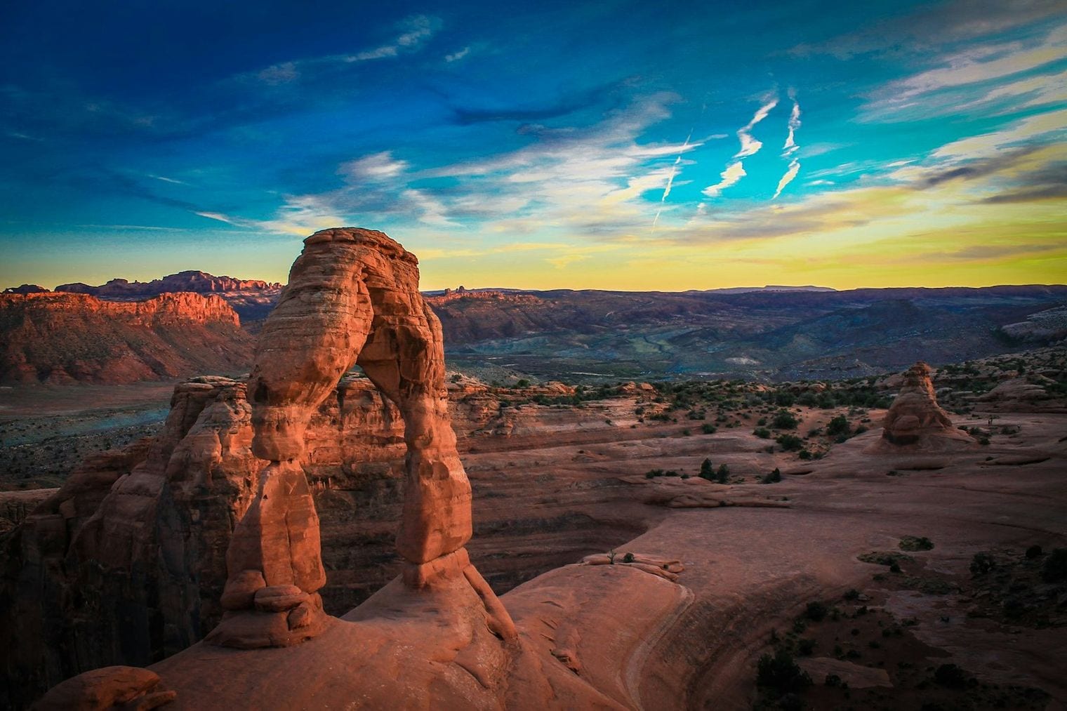
Just north of town, Arches National Park protects more than 2,000 natural sandstone arches, the highest concentration in the world. Delicate Arch, the park's most famous landmark, is reached by a roughly 3-mile round-trip trail and appears on Utah's license plate.
The scenic park road passes Balanced Rock, the Windows Section, and Park Avenue, so even visitors short on time can see a lot from the car with short walks to the highlights.
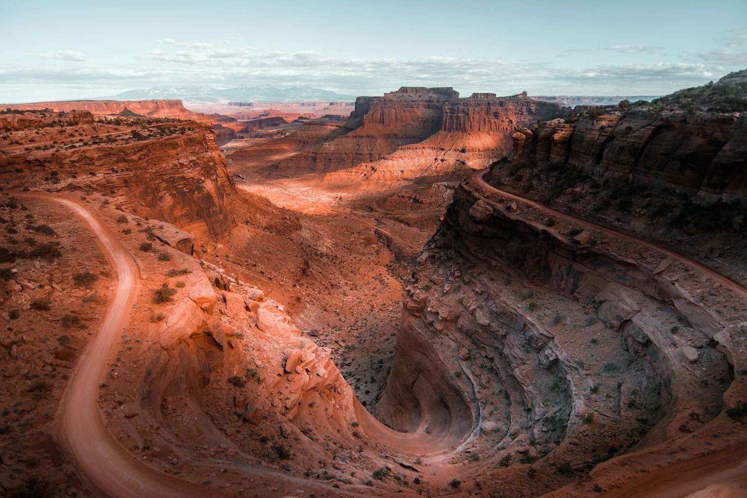
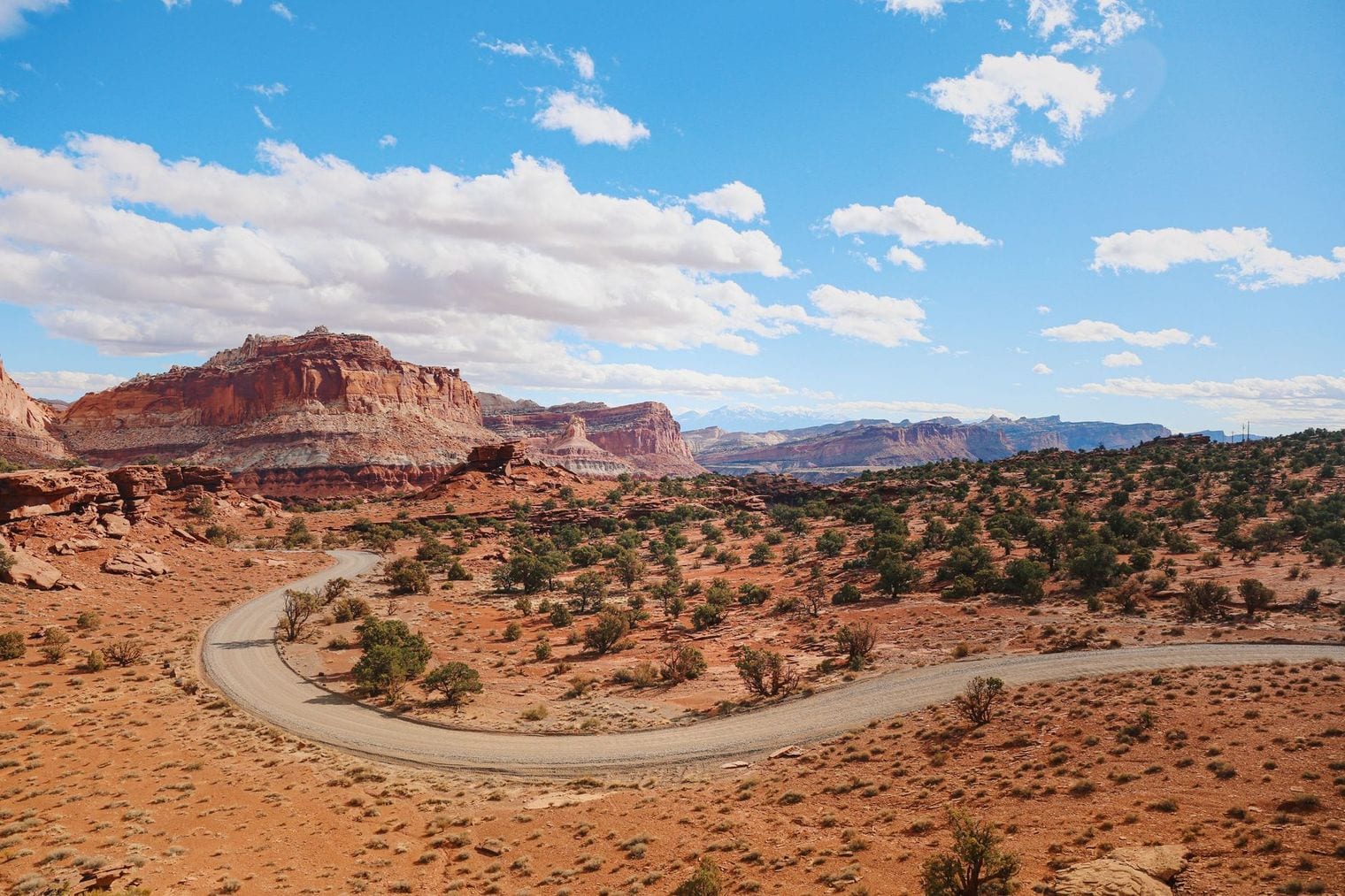
Canyonlands is divided into districts by the Colorado and Green rivers; the Island in the Sky mesa is closest to Moab, about a 40-minute drive. Its overlooks, including Grand View Point, take in a vast layered canyon landscape carved by the rivers far below.
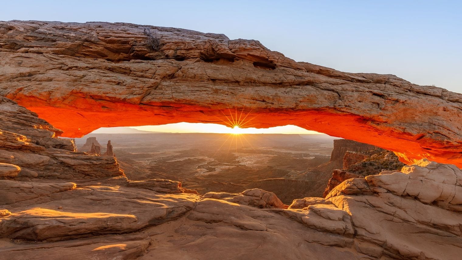
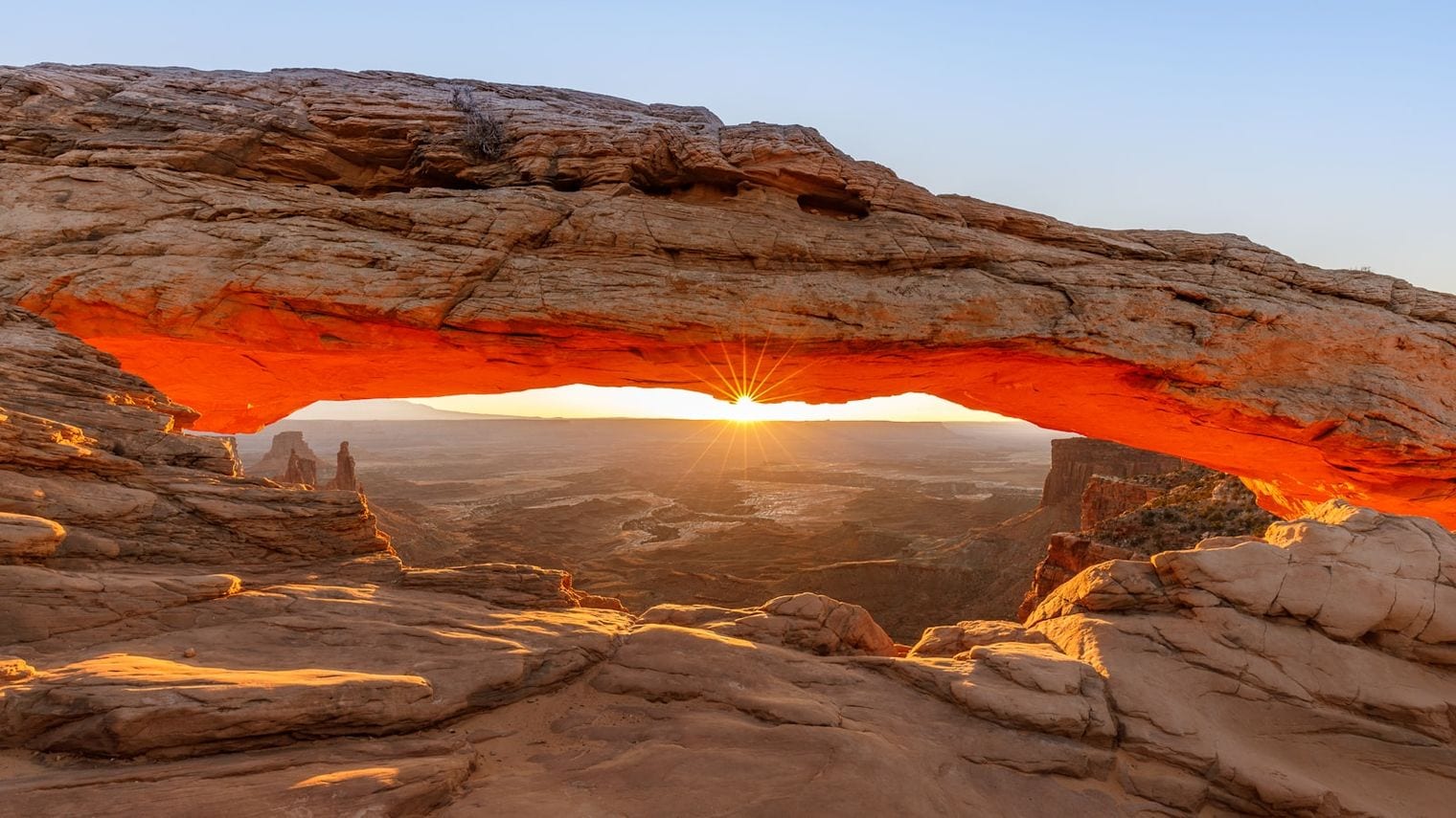
Mesa Arch is the district's signature short hike, a half-mile loop to a cliff-edge arch that frames the canyon beyond and is especially popular with photographers at sunrise.
The hike to Delicate Arch is the quintessential Moab experience: a roughly 3-mile round trip that climbs slickrock with no shade, ending at the free-standing arch perched above a natural sandstone bowl.
There is little protection from the sun, so an early start and plenty of water are essential, especially in summer when temperatures regularly climb past 100°F.
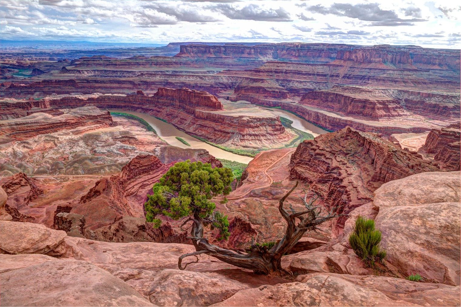
This state park sits on a high mesa between Moab and Canyonlands, offering one of the most dramatic overlooks in the region: a gooseneck bend of the Colorado River some 2,000 feet below.
The park has a paved overlook, a visitor center, and several rim trails, and its dark skies have earned it an International Dark Sky Park designation, making it a strong choice for stargazing.
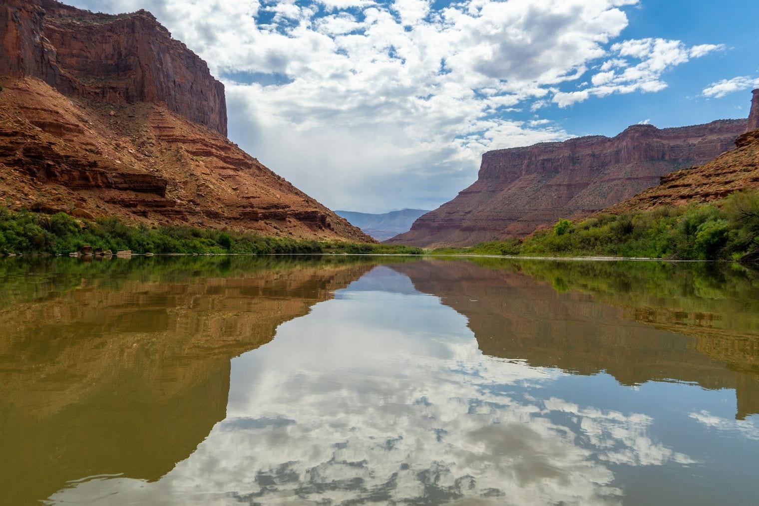
The Colorado River runs right past Moab, and outfitters in town run everything from gentle half-day floats to whitewater trips through Westwater and Cataract canyons.
Daytime float trips are family-friendly and a welcome way to cool off in the desert heat, while multi-day expeditions reach remote canyon country accessible only by water.
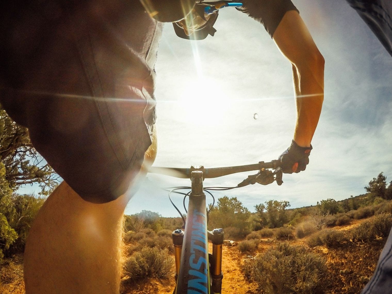
Moab is a world-famous mountain biking destination, and the Slickrock Bike Trail on the Sand Flats Recreation Area is its best-known route. Painted lines guide riders across undulating Navajo sandstone with sweeping desert views.
The trail is demanding and exposed, but a shorter practice loop lets newer riders sample the unique grip of riding on slickrock before committing to the full route.
Northeast of Moab along the Colorado River, the Fisher Towers are dramatic spires of dark red sandstone rising hundreds of feet from the desert floor. A roughly 4.4-mile round-trip trail winds among the formations.
The towers are a famous rock-climbing destination, and even non-climbers come for the scenery, which is especially striking in late-afternoon light.
On BLM land outside the national parks, the Corona Arch trail is a roughly 3-mile round trip across slickrock to a large, free-standing arch big enough to walk beneath.
The route includes a short section with a fixed cable and a small ladder to help with the steeper slickrock, and because it lies outside the parks it avoids the busiest crowds.
Managed cooperatively by the BLM and Grand County, Sand Flats is the recreation hub just east of town that contains the Slickrock trail and the famous Hell's Revenge off-road route.
It offers first-come camping, mountain biking, and 4x4 trails, making it a base for the kinds of motorized and pedal-powered adventures Moab is known for.
Hell's Revenge is one of Moab's signature four-wheel-drive routes, a slickrock trail in Sand Flats that climbs steep fins and domes of sandstone with big drop-offs.
Many visitors experience it on a guided Hummer or Jeep tour out of town, which is the safest way to take on the obstacles without your own capable vehicle and experience.
Just outside town, this family-oriented attraction combines an outdoor trail of life-size dinosaur models with indoor exhibits about the region's real paleontology.
The area around Moab is rich in dinosaur tracks and fossils, and the park is an accessible introduction for kids before visiting actual track sites nearby.
Close to downtown, the Mill Creek trail follows a desert stream to a swimming hole and small waterfall, a refreshing local favorite on hot days.
The out-and-back hike is relatively short, though it involves some creek crossings and scrambling, and it offers a shaded contrast to the exposed slickrock elsewhere around Moab.
13. Scenic Byway 128 (Upper Colorado River Scenic Byway)
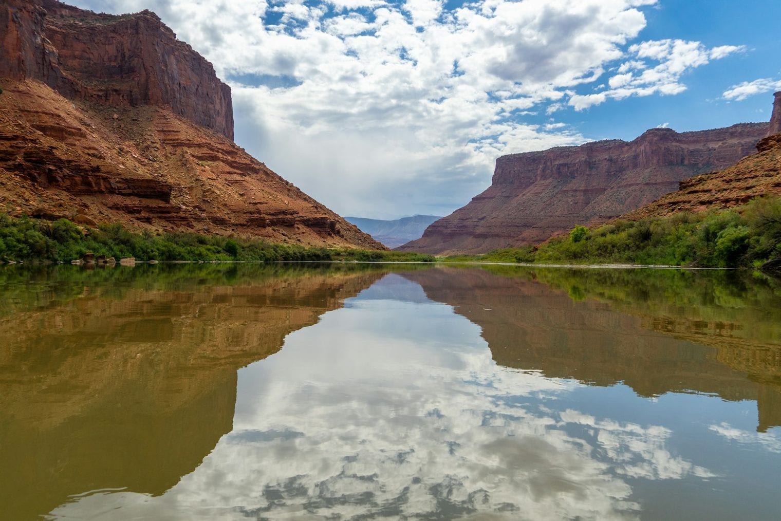
State Route 128 leaves Moab and follows the Colorado River upstream through a deep red-rock canyon, passing Fisher Towers, the historic Dewey Bridge area, and several riverside campgrounds.
The drive is one of the most scenic in Utah and a designated Scenic Byway, rewarding even a short out-and-back from town with constant canyon views.
South of Moab, Hole N’ the Rock is a 5,000-square-foot home carved directly into a sandstone cliff, now a roadside attraction with guided tours of the rooms blasted out of the rock.
The quirky stop also has a trading post and a small petting zoo, making it an easy and offbeat break on the way to or from town.
Moab's remote location and dry desert air make for exceptional night skies, and both Arches and Canyonlands are certified International Dark Sky Parks.
Ranger-led astronomy programs run seasonally, and overlooks like Dead Horse Point and Grand View Point are excellent spots to take in the Milky Way away from town lights.
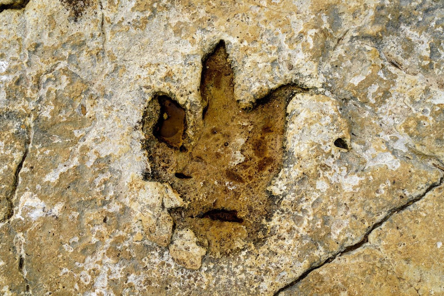
State Route 279, known as Potash Road, runs along the Colorado River and passes panels of ancient petroglyphs and a marked site of dinosaur tracks visible from pullouts.
The road is also popular with rock climbers and offers river access, packing a lot of Moab's history and recreation into a short, scenic drive.
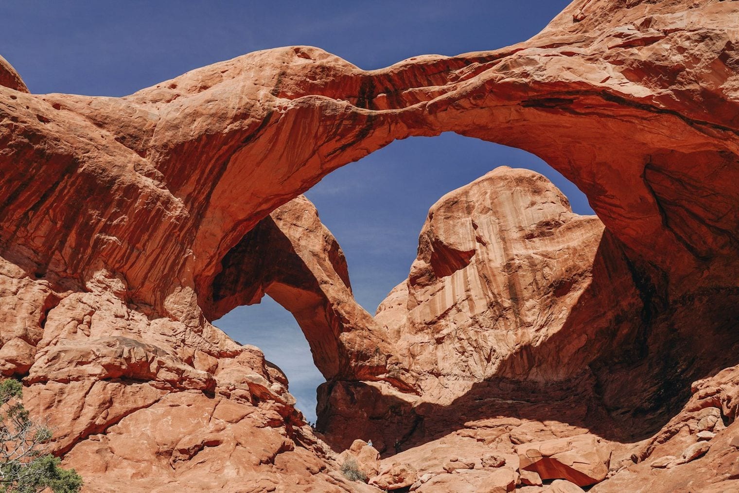
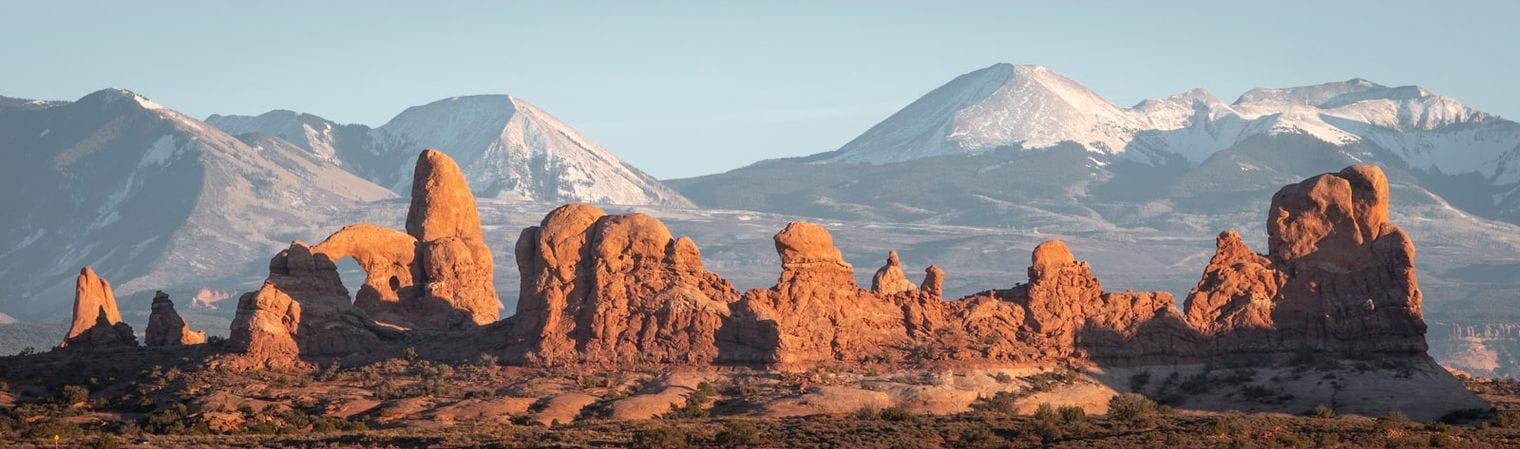
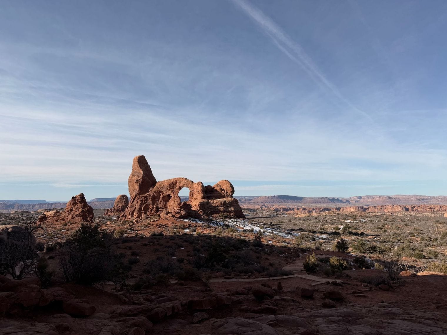
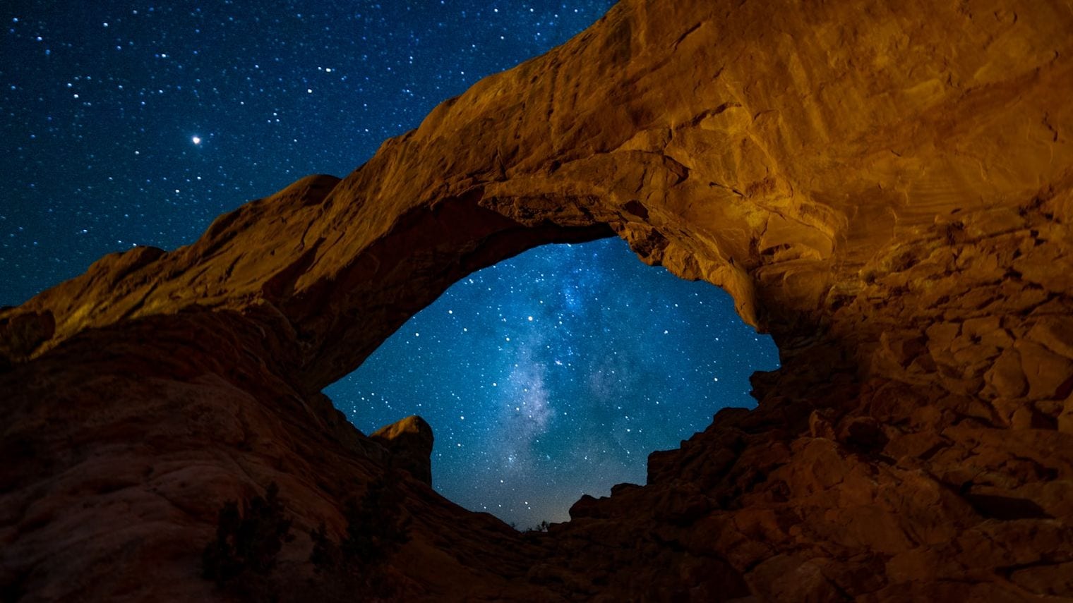
The Windows Section of Arches concentrates several large arches, including North Window, South Window, and Turret Arch, around short, easy trails.
It is one of the best places in the park to watch the sandstone glow at sunset, and the level paths make it accessible for visitors not up for the longer Delicate Arch climb.
At the end of the main park road in Arches, the Devils Garden trailhead leads to Landscape Arch, one of the longest natural stone spans in the world at roughly 290 feet.
The trail to Landscape Arch is a relatively flat round trip of about 1.9 miles, and more adventurous hikers can continue past it on a longer primitive loop that links several additional arches.
Formerly known by another name, Grandstaff Canyon offers a shaded creekside hike along State Route 128, following a perennial stream beneath canyon walls.
The roughly 5-mile round-trip trail ends at Morning Glory Natural Bridge, one of the longest rock spans in the country, making it a rewarding and less-crowded alternative to the park trails.
The BLM-managed Colorado Riverway corridor along Highway 128 offers riverside trails, sandy beaches, and boat launches just minutes from downtown Moab.
It is an easy place to picnic, paddle a calm stretch of the Colorado, or simply cool off, and it connects several of the canyon hikes that branch off the scenic byway.
North of town, the Moab Brand Trails offer a network of marked mountain-biking routes ranging from beginner-friendly singletrack to technical slickrock loops like Bar M and Deadman's Ridge.
The variety makes this area a good first stop for visiting cyclists who want to gauge their comfort on Moab terrain before tackling the famous Slickrock Trail.
Local outfitters run evening jet-boat trips on the Colorado River that pair a sunset cruise with a sound-and-light presentation projected onto the canyon walls after dark.
It is a relaxed, family-friendly way to experience the river without paddling, and the after-dark portion takes advantage of Moab's exceptionally dark skies.
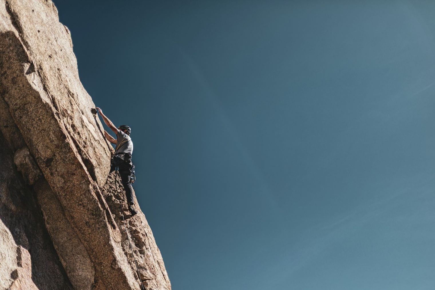
Moab is a renowned destination for rock climbers and canyoneers, with sandstone crack climbs, desert towers, and slot canyons throughout the surrounding BLM land.
Guiding companies in town offer introductory climbing and canyoneering trips with equipment, which is the safest way for newcomers to try these technical sports in the desert.
In downtown Moab, the Moab Museum tells the story of the region through exhibits on its geology, paleontology, Indigenous history, uranium-mining boom, and the development of the area's recreation economy.
It is a compact, air-conditioned stop that adds useful context to the landscapes you explore, and a comfortable break from the midday desert heat.
South of town at the foot of the La Sal Mountains, Ken's Lake is a reservoir with a campground, a sandy beach, and a small seasonal waterfall fed by an irrigation tunnel.
The nearby La Sal Mountain Loop Road climbs from desert into cool alpine forest, offering a dramatic change of scenery and a welcome escape from the heat in high summer.
Best Time to Visit Moab
Spring and fall are the sweet spots in Moab. From April into May and again through September and October, the high desert settles into mild, comfortable days that are ideal for hiking the Delicate Arch Trail, riding the Slickrock Trail, or driving Scenic Byway 128 along the Colorado River. These are also the busiest stretches, so expect full parking lots and steady foot traffic at the marquee stops in Arches and Canyonlands, especially at popular trailheads like the Windows Section and Devils Garden. Arriving early in the morning or lingering into the evening helps you sidestep both the crowds and the strongest sun, and it puts you in the best light for the red-rock scenery.
Summer is a different animal. At roughly 4,000 feet with little shade anywhere, Moab regularly bakes with highs in the upper 90s and beyond, so any serious hiking, biking, or 4x4 outing on Hell's Revenge is best done at first light or after the heat breaks in the evening, always with far more water than you think you'll need. The high-desert sun is intense year-round, and summer's afternoon storms can send fast, dangerous flash floods through slot canyons and drainages like Grandstaff Canyon, so check the skies and never linger in a narrow canyon when rain threatens. Winter, by contrast, is cold and quiet, and it can be genuinely beautiful, with a dusting of snow on the red rock and the parks nearly to yourself, as long as you come prepared for chilly days and icy trails.
Getting to Moab
Moab sits along US-191 in southeastern Utah, reached most easily from Interstate 70 to the north, with the highway becoming Main Street as it runs through the heart of downtown past the town's gear shops and outfitters. There is no major airport in Moab itself, so nearly everyone arrives by car, and a vehicle is essential once you are here for reaching the trailheads, scenic byways, and the entrances to Arches and Canyonlands National Parks.
For those flying in, Canyonlands Field is the closest airport, about twenty to thirty minutes from town, though its schedule is limited. Grand Junction, Colorado, sits roughly two hours away and offers a wider range of flights, while Salt Lake City is about four hours north and has by far the most flights and rental car options, making it the practical choice for many travelers. Whichever gateway you choose, plan on picking up a rental car and driving the rest of the way through the high desert into Moab.
Getting Around Moab
Downtown Moab is compact and easy to explore on foot. Nearly everything sits along Main Street, the town's spine, where you'll find gear shops, outfitters, and a walkable stretch of restaurants and cafes. For the town itself, you can leave the car parked and stroll between stops. Beyond the edge of town, though, that changes quickly: the trailheads, viewpoints, and canyons that make Moab famous are spread across miles of open desert, so a vehicle is essential for reaching Arches, Canyonlands' Island in the Sky district, Dead Horse Point State Park, and the scenic drives along the Colorado River.
Plan ahead for the national parks. During the busy spring and fall seasons, Arches uses a timed-entry reservation system, so it pays to sort out your entry before you arrive rather than turning up on a whim. Many of the region's rougher routes ask even more of your ride: iconic off-road trails like Hell's Revenge, along with remote backcountry sites and washboard access roads, really need a high-clearance or four-wheel-drive vehicle. If you're driving a standard rental or would rather not tackle the terrain yourself, guided jeep tours, rafting outfitters, and other organized excursions handle the hard driving and the logistics for you, and shuttle services can help connect trailheads for through-hikes and point-to-point rides. Whatever you choose, come prepared for the high desert: sun is intense, shade is scarce, and carrying plenty of water is not optional.
Where to Stay in Moab
Most visitors base themselves right in Moab, and for good reason: the town is the main hub for both Arches and Canyonlands National Parks, as well as Dead Horse Point and the scenic drives along the Colorado River. The heart of town runs along Main Street (US-191), where you're within walking distance of restaurants, gear shops, and the outfitters who run the rafting trips and 4x4 tours. Staying central puts you closest to town amenities and makes it easy to grab an early breakfast before beating the crowds and the heat at the parks. For a quieter setting, look to the areas north and south of the center along US-191, which trade the downtown bustle for a bit more calm while keeping you a short drive from Main Street and the park entrances.
If you'd rather be closer to the trails and the landscape itself, the campgrounds and RV areas near the rivers and the surrounding BLM lands are a strong option, especially for those exploring places like Sand Flats Recreation Area, the Colorado Riverway, or the biking routes. These spots put you nearer to the slickrock, the canyons, and the dark night skies, which is a real draw given how much stargazing Moab is known for. Whichever area you choose, remember this is high desert at around 4,000 feet: shade is scarce, the sun is intense, and spring and fall are the most comfortable times to be here, so plan accordingly and carry plenty of water no matter where you sleep.
Where to Eat in Moab
Moab's dining scene is concentrated downtown along Main Street, the US-191 corridor that doubles as the town's main drag. After a morning at Arches or a long afternoon on the Slickrock Trail, this walkable stretch is where most visitors refuel, and the offerings lean toward an active, outdoorsy crowd: casual Southwestern plates, hearty American comfort fare, and the kind of generous portions that suit a day of desert exertion. Local breweries anchor the after-trail scene, coffee shops open early for pre-dawn park runs, and grab-and-go spots make it easy to build a cooler for a full day out on Scenic Byway 128 or deep in Canyonlands.
Because Moab is a remote high-desert town rather than a city, the food scene stays compact and centered on this downtown corridor rather than spread across distinct neighborhoods. Plan to eat where you're staying or along Main Street, and stock up on water and snacks before heading out, since there's little in the way of services once you're inside the parks or out on the scenic drives.
One Day in Moab
Moab rewards an early start and a tight loop — the marquee arches sit minutes from town, the river canyons fan out to the east, and the whole day can end on the water under a sky full of stars.
Morning: Beat the heat and the crowds by driving straight into Arches National Park at first light, when the sandstone glows and the parking lots are still empty. Lace up for the Delicate Arch Trail first — the three-mile round trip climbs a slickrock ramp to the free-standing arch that put this landscape on every Utah license plate, and morning light spares you the worst of the exposed midsection. On the way back out, detour to Landscape Arch and Devils Garden for a longer, flatter walk past one of the thinnest, most improbable spans on earth. If your legs are already spent, the short paved paths of the Sunset at The Windows Section, Arches deliver a cluster of massive openings for a fraction of the effort.
Afternoon: Roll back toward town and swap red rock for river corridor. Follow Scenic Byway 128 (Upper Colorado River Scenic Byway) as it threads the Colorado between sheer walls out to the rust-colored spires of Fisher Towers — one of the most photogenic drives in the Southwest, and an easy place to stretch your legs on the towers’ base trail. Closer in, the shaded, stream-fed Grandstaff Canyon and Morning Glory Arch is a welcome cool-down when the afternoon sun turns fierce, and thrill-seekers can trade hiking for a half-day of Colorado River Rafting through the gentler rapids just upstream.
Evening: Clean up and drop into the Moab Museum to put the day in context — the geology, the uranium boom, and the Ute and Ancestral Puebloan history written into these canyons. After dark, the Canyonlands by Night Boat Tour floats you back onto the Colorado for a sound-and-light run beneath the cliffs, and once you’re back on dry land, simply looking up delivers Stargazing in Moab’s Dark Skies, some of the darkest and most star-crowded in the country. If you can steal a second day, save it for the mesa-top overlooks of Canyonlands National Park (Island in the Sky) and the sweeping gooseneck at Dead Horse Point State Park — a full outing in their own right, and worth every extra hour.
Free Things to Do in Moab
Some of Moab's most memorable experiences don't cost a thing, starting with the drive itself. Scenic Byway 128 traces the Upper Colorado River northeast of town, winding beneath red-rock cliffs and the spires of Fisher Towers, while Potash Road follows the river the other way past a roadside panel of dinosaur tracks and ancient petroglyphs you can pull over and study for free. Cruising Main Street costs nothing either, and wandering the downtown strip of gear shops, galleries, and outfitters is a pleasant way to get your bearings between adventures. Down at the Colorado Riverway Recreation Area, the riverside trails and sandy beaches are open to anyone who wants to stretch their legs, dip their feet in the water, or watch the light change on the canyon walls.
After dark, Moab delivers one of the country's great free shows. The high-desert air is dry and the town sits far from big-city light pollution, so on a clear night the Milky Way stretches overhead in a way most visitors rarely see at home; you don't need a ticket, just a dark pullout along one of the byways and a little patience while your eyes adjust. Do keep in mind that Arches, Canyonlands, Dead Horse Point, and some BLM recreation areas charge entrance or day-use fees, so those aren't part of the free lineup, but the byways, downtown, riverway trails, and the star-filled sky ask nothing more than your time.
Day Trips from Moab
Unlike most towns, Moab's finest day trips aren't neighboring cities at all — they're the vast red-rock landscapes that surround it, and the two greatest are practically on the doorstep. Arches National Park sits just north of downtown along US-191, close enough that you can be among its sandstone fins and the famous span of Delicate Arch within minutes of leaving Main Street. Canyonlands National Park's Island in the Sky district is a slightly longer but still easy drive, unfurling a maze of canyons carved by the Green and Colorado Rivers, and it pairs naturally with Dead Horse Point State Park, which shares the same high mesa and delivers one of the most sweeping overlooks in the state. Because the desert bakes in summer, plan these outings for early morning or evening, when the light is best and the heat least punishing, and always carry far more water than you think you'll need.
Beyond the parks, the drives themselves are destinations. Scenic Byway 128 traces the Upper Colorado River northeast out of town, threading between towering canyon walls and past landmarks like Fisher Towers, while Potash Road (Highway 279) follows the river the other way beneath cliffs marked with dinosaur tracks and rock art. For a genuine escape from the summer heat, point the car toward the La Sal Mountains southeast of Moab, where forested slopes and cooler high country rise well above the desert floor and offer a striking contrast to the slickrock below. Note that Moab's remoteness is real: other Utah destinations such as Provo and St. George, and Salt Lake City itself, are several hours away by road, so most memorable day trips here stay close to home among the canyons, rivers, and mountains rather than reaching for another town.
FAQ: Visiting Moab, Utah
What is Moab known for?
Moab is a high-desert adventure town in southeastern Utah, best known as the gateway to Arches and Canyonlands National Parks and as a hub for outdoor recreation on the Colorado River. It draws visitors for iconic red-rock scenery like Delicate Arch and Fisher Towers, world-class mountain biking on trails such as Slickrock, off-road 4x4 routes like Hell's Revenge, river rafting, and some of the darkest night skies for stargazing.
Is Moab worth visiting?
Yes. Few places pack two national parks, dramatic sandstone arches and canyons, whitewater rafting, and legendary biking and off-roading into one small town. Whether you come for scenic drives like Scenic Byway 128 or for adventure like canyoneering and the Slickrock Trail, Moab rewards almost any kind of traveler with landscapes you won't find elsewhere.
How many days do you need in Moab?
Plan on at least three to four days so you can give a full day each to Arches and Canyonlands (Island in the Sky), plus time for Dead Horse Point State Park and a scenic drive or river trip. A longer stay lets you add adventures like Colorado River rafting, biking the Moab Brand Trails, or hiking to Corona Arch and Morning Glory in Grandstaff Canyon.
What is the best time to visit Moab?
Spring (April-May) and fall (September-October) are the best times, with mild, pleasant weather that makes hiking and biking comfortable, though these are also the most popular seasons. Summers are extremely hot, with highs often reaching 95-100°F or more and little shade, so summer visitors should hit the parks and trails in the early morning or evening; winter is cold, quiet, and can be strikingly beautiful.
How hot does Moab get in summer, and how do you handle the heat?
Summer highs in Moab frequently reach 95-100°F and above, and the high desert offers intense sun with very little shade. To stay safe, explore the parks and trails in the cooler early mornings and evenings, carry plenty of water, and be aware of flash-flood risk in slot canyons like those on the Mill Creek and Grandstaff Canyon hikes.
Which airport is closest to Moab, and do you need a car?
Canyonlands Field (CNY) is closest, about 20-30 minutes away, but has limited flights; Grand Junction, Colorado (GJT) is roughly two hours out with a better balance of flights, and Salt Lake City (SLC) is about four hours away with the most flights and rental cars. There is no major airport in town, so most visitors fly into one of these and drive, and a car is essential for reaching the parks and trailheads.
Is Moab good for families and adventure seekers?
Moab suits both. Adventure travelers can raft the Colorado River, ride the Slickrock Trail, tackle Hell's Revenge by 4x4, or try rock climbing and canyoneering, while families can enjoy easier stops like Moab Giants Dinosaur Park, Hole N' the Rock, the Moab Museum, a Canyonlands by Night boat tour, and the dinosaur tracks along Potash Road. Because it's a hot, remote high-desert town, families should bring plenty of water and time outdoor activities for the cooler parts of the day.